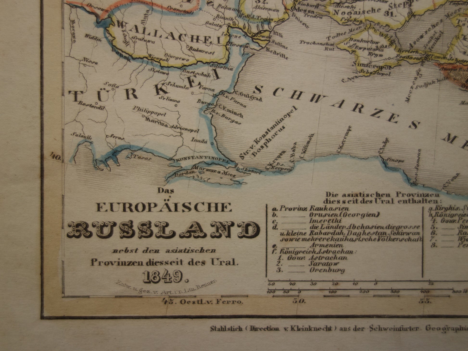
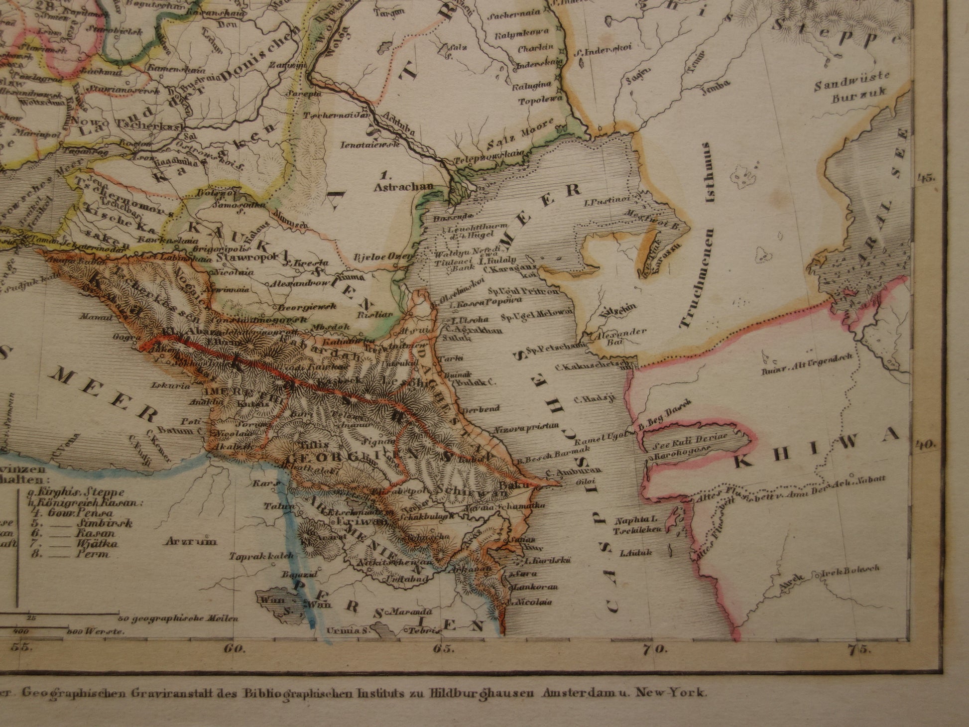
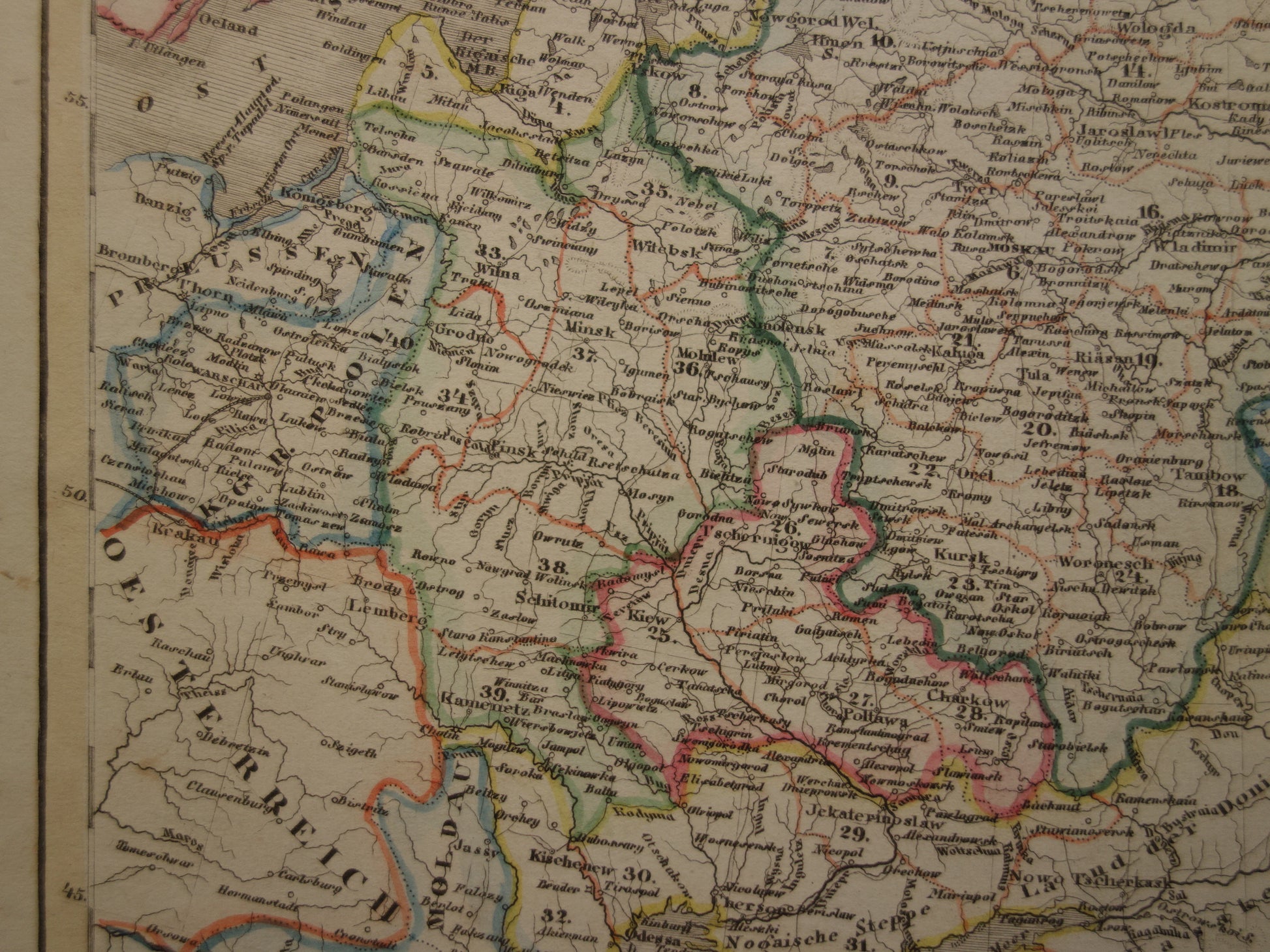
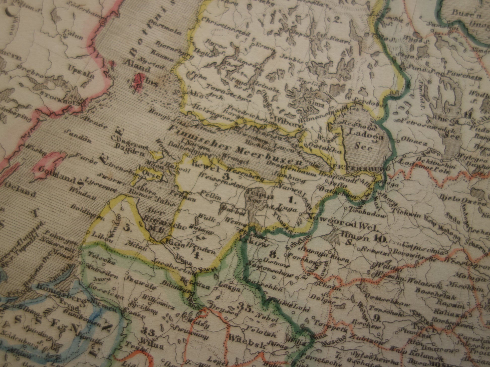
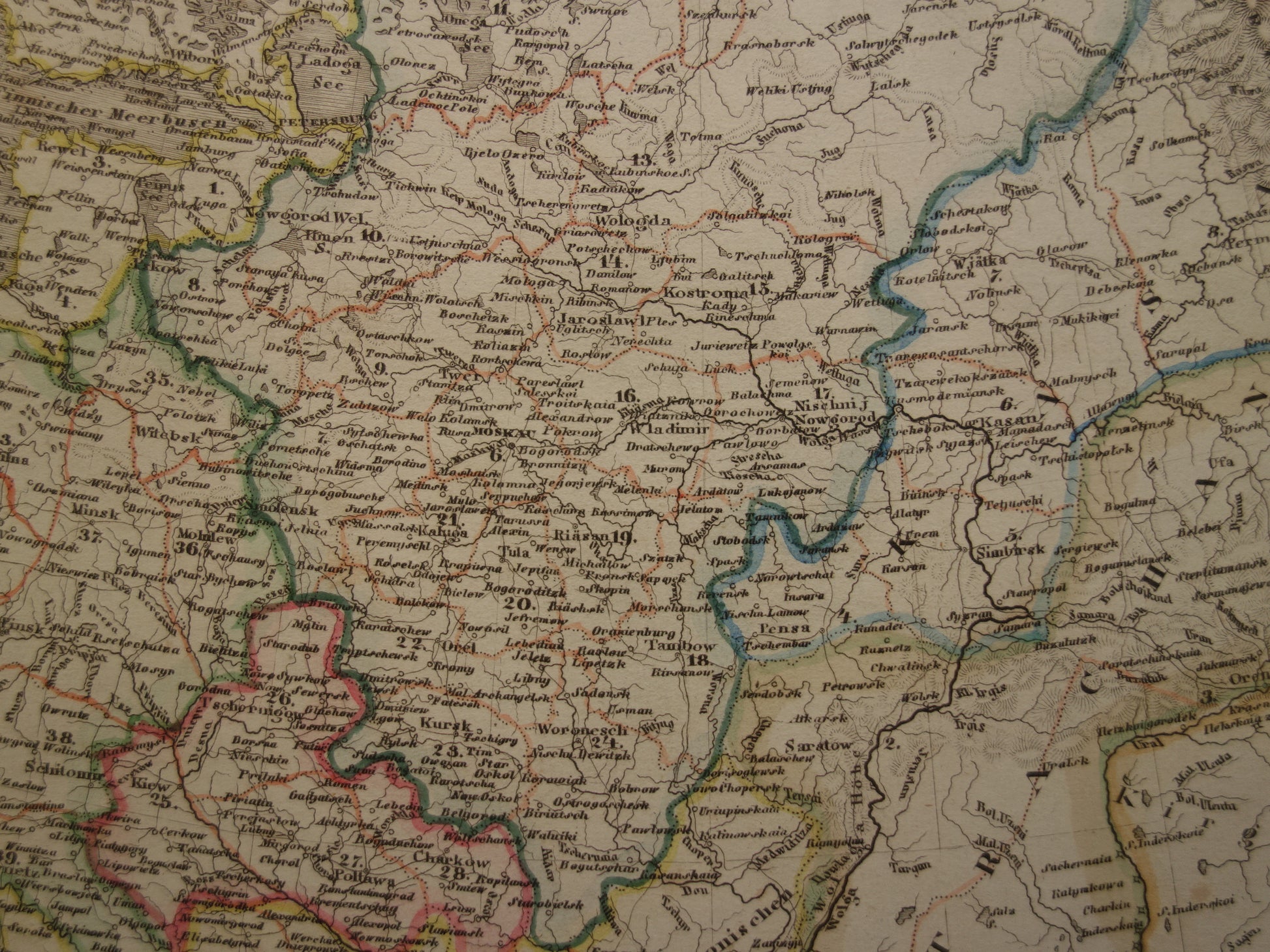
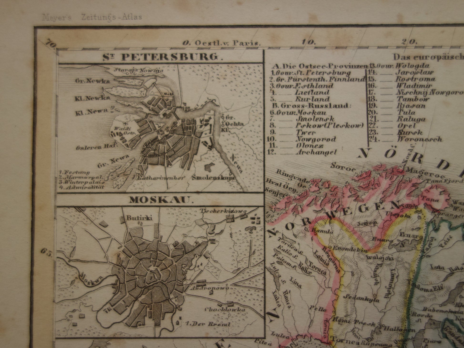
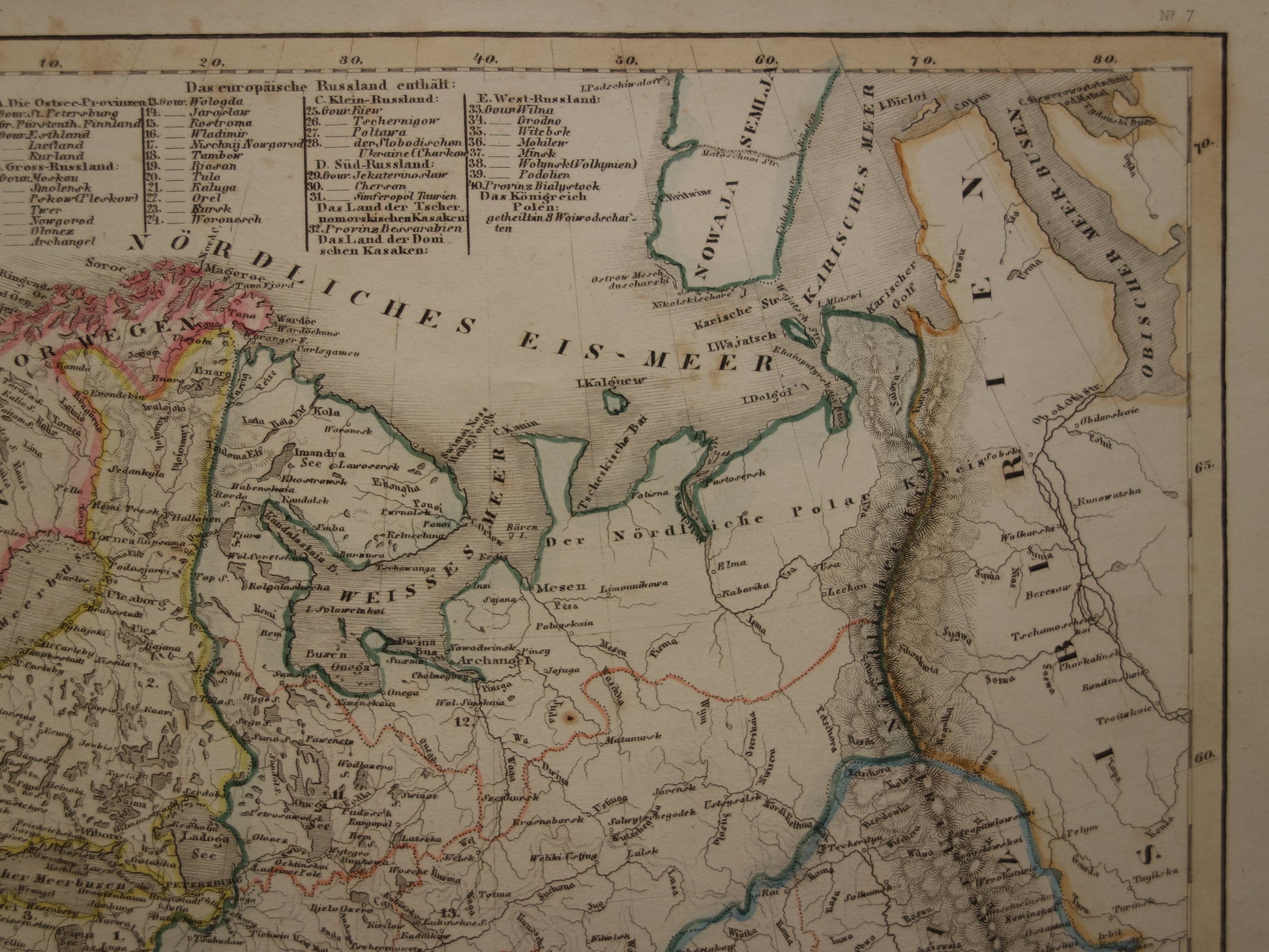
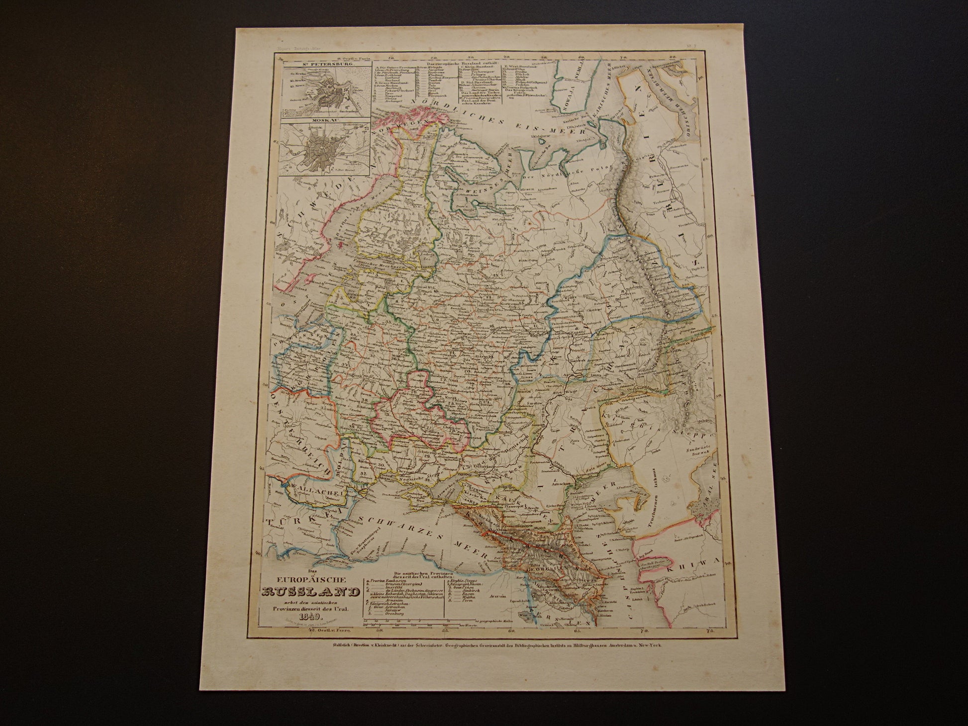
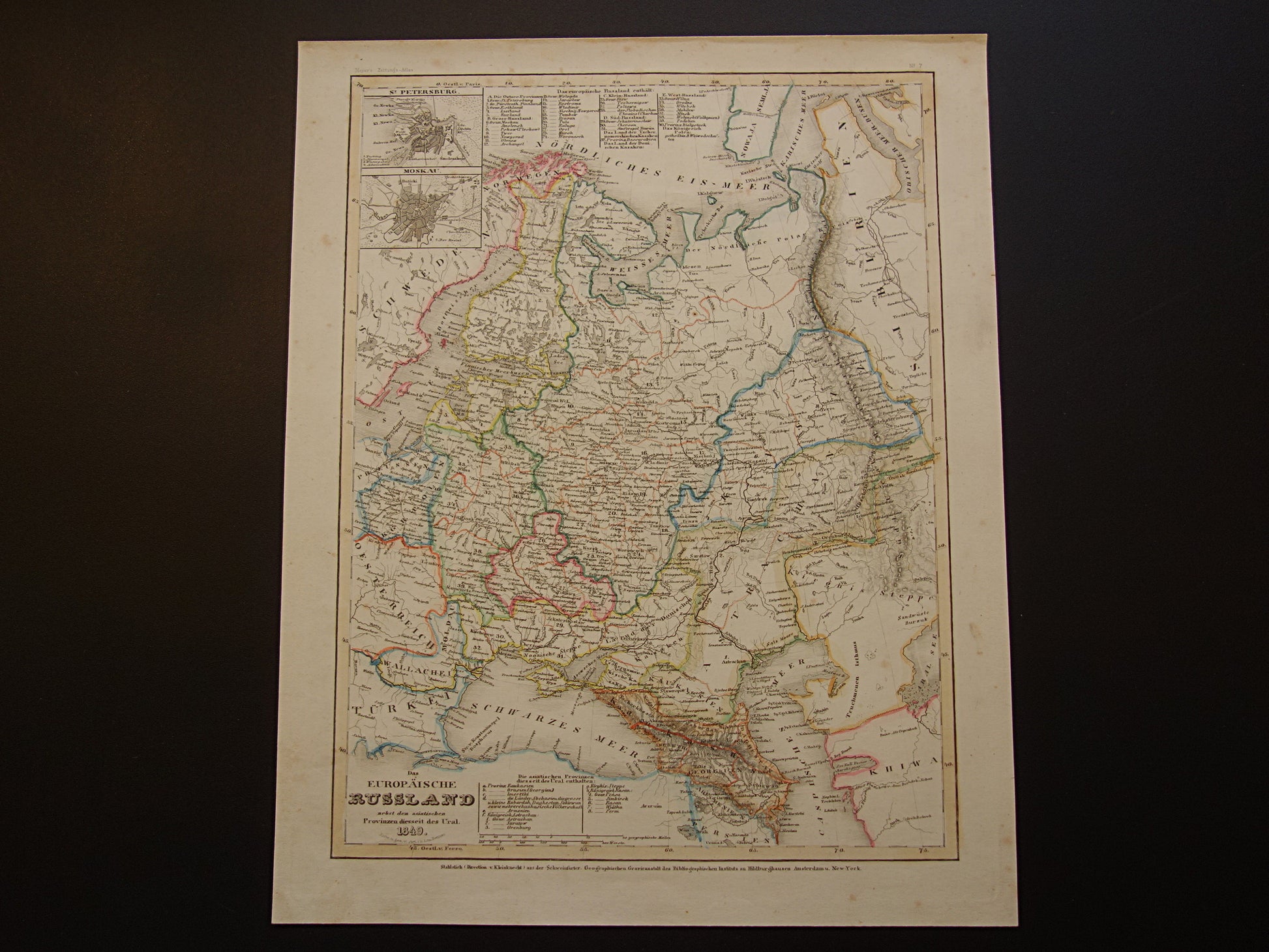
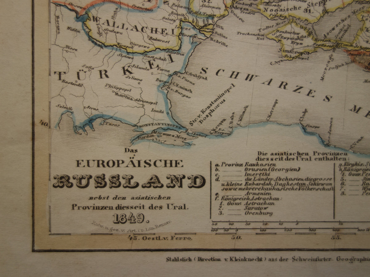
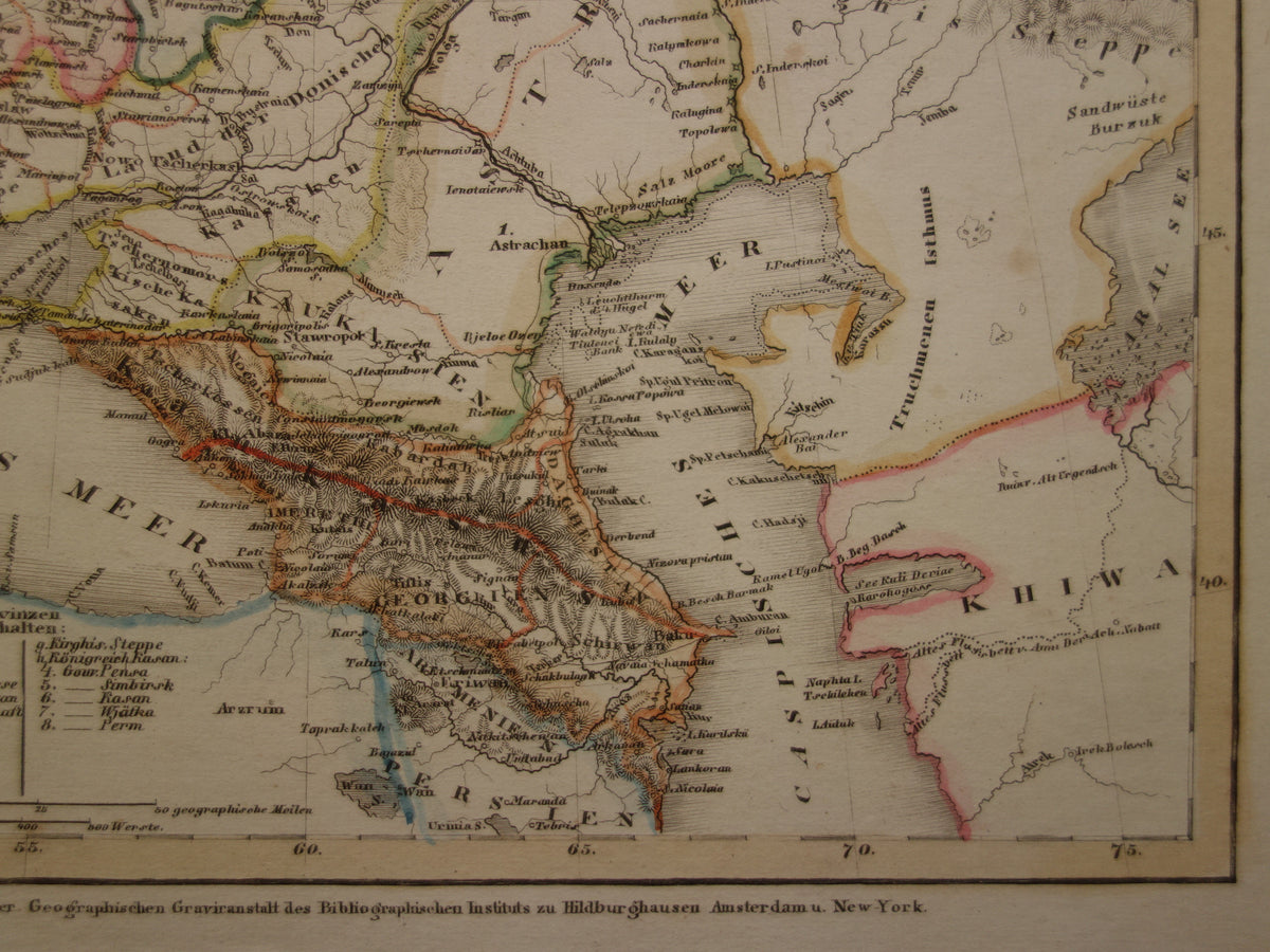
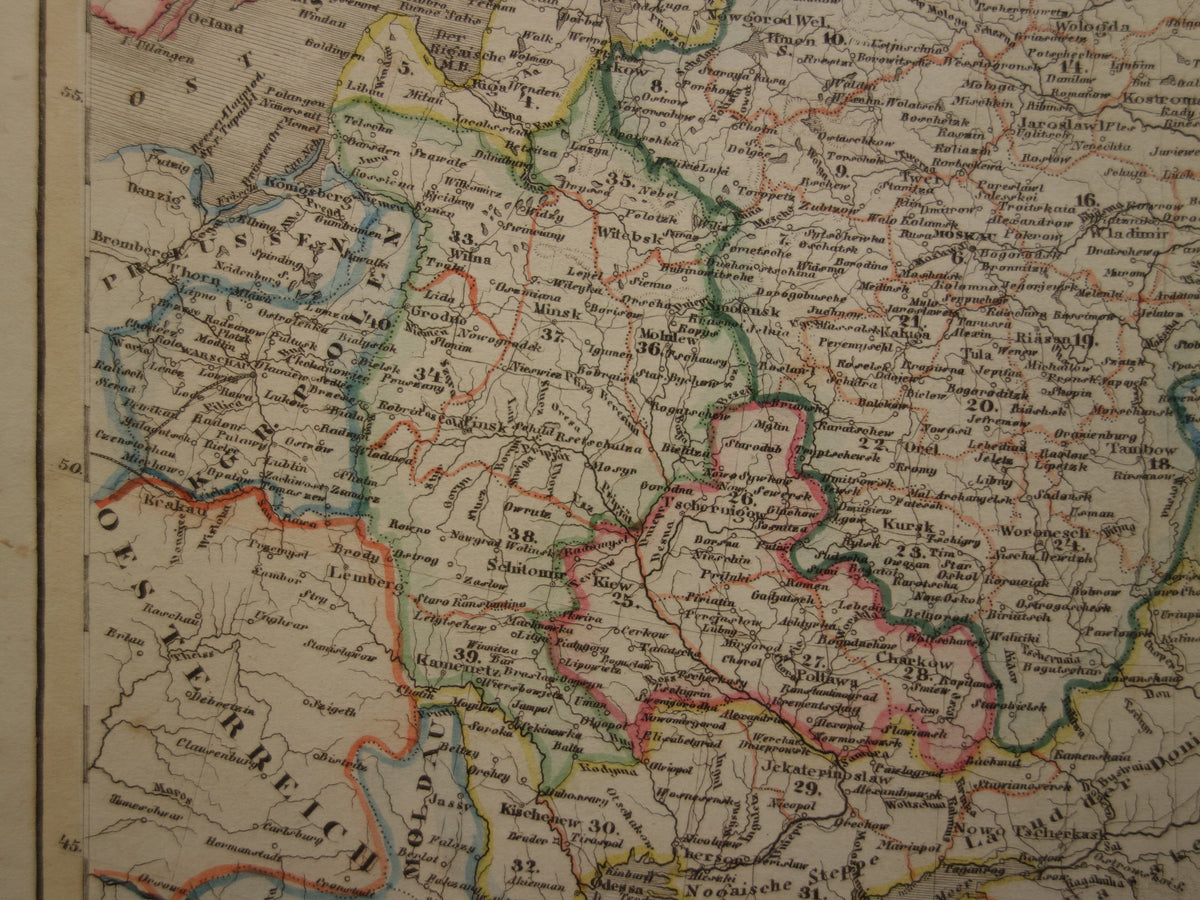
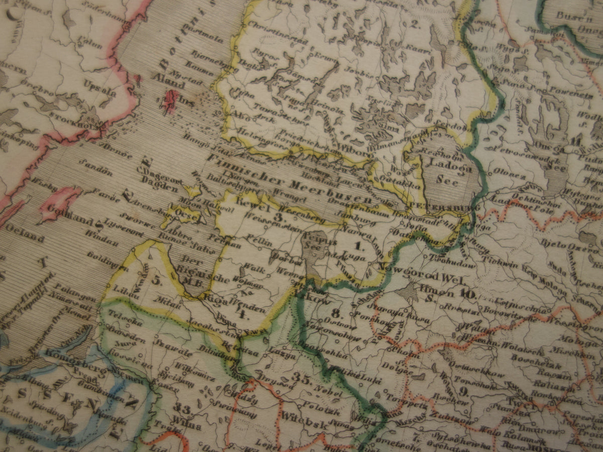
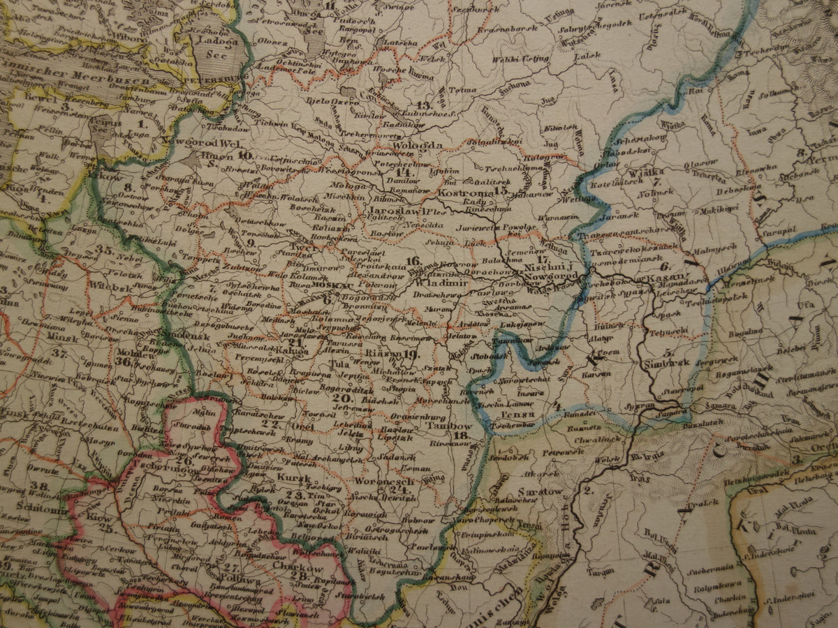
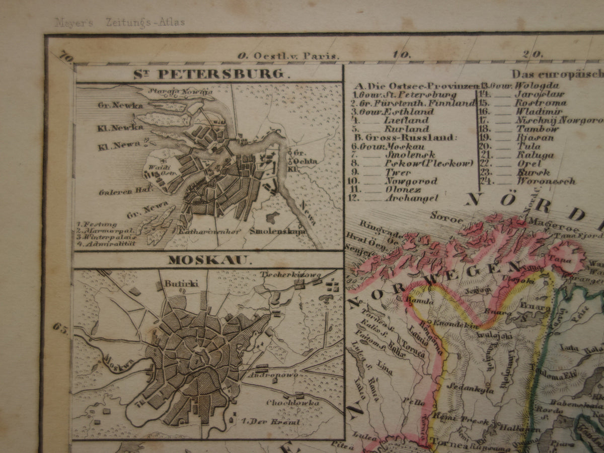
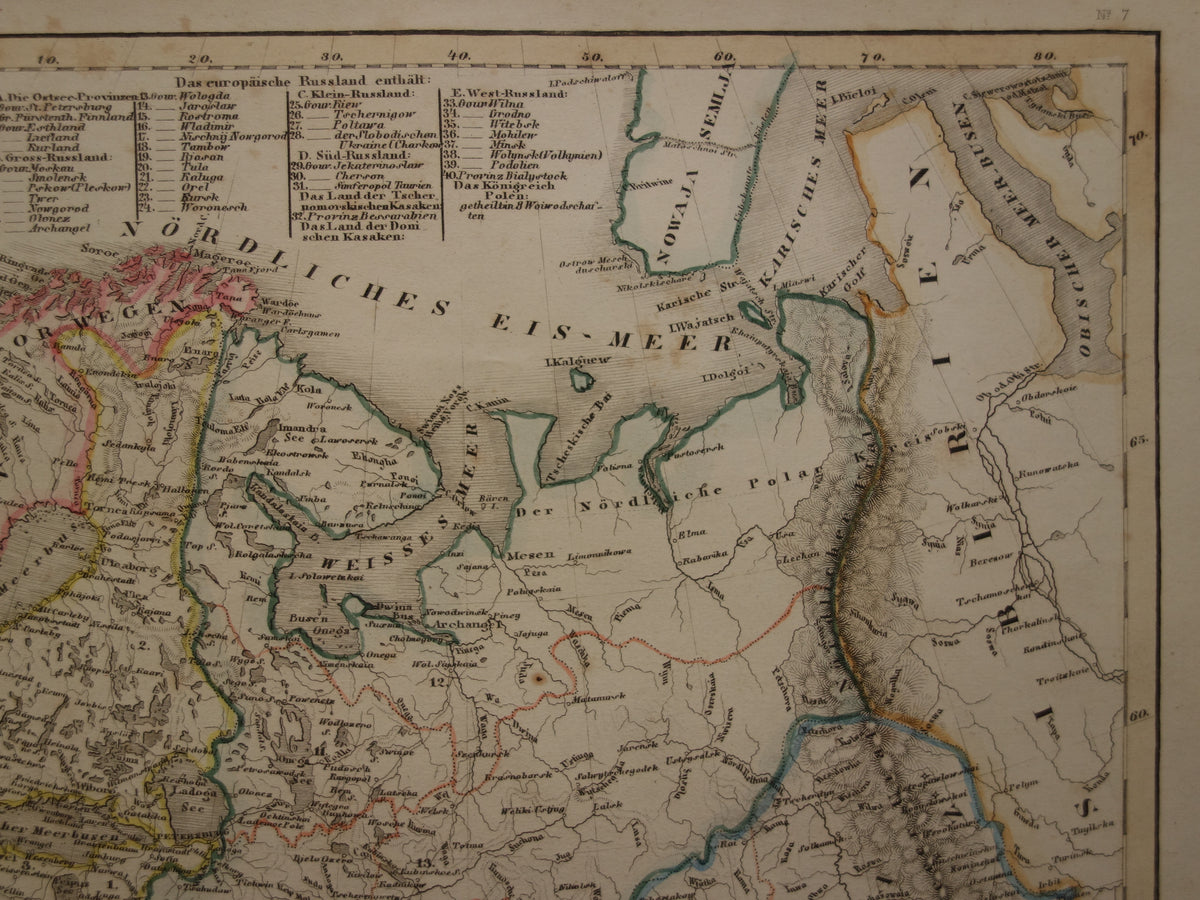
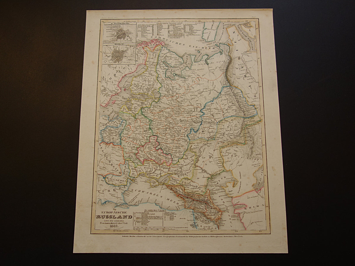
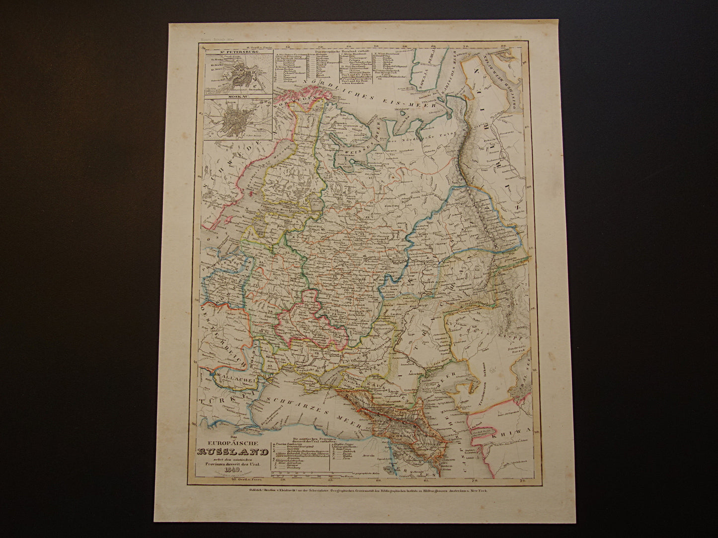
Beautiful antique German map of European Russia in the year 1849 with Poland, Finland, Lithuania, Latvia, Ukraine and Crimea still part of the Russian empire. The map is very detailed, zoom the photos for the best view. Small inset maps of St. Petersburg and Moscow. The title shows the year 1849. The map is colored by hand.
Dimensions: the card measures 23 x 29 cm
Condition: the map is in good condition (= only small signs of age/use - the paper is intact - in good general condition).
Origin: Meyer's Zeitungs Atlas - Edition of 1849
ORIGINAL ANTIQUE MAP
Oudekaarten.com only sells original old maps, we do not sell modern reprints.
ORDER WITHOUT RISK
At Oudekaarten.com you always order without risk. Are you not completely satisfied with your purchase? You can return your purchase free of charge and get your full purchase price back.
FAST SHIPPING
This card will be shipped within 1 business day.
DISCOUNT AND FREE SHIPPING
When purchasing two items, your order will be shipped for free. When purchasing four or more items, you will receive a 25% discount on the total order amount and your order will be shipped for free.