Skip to product information
1 of 10

Oudekaarten.com

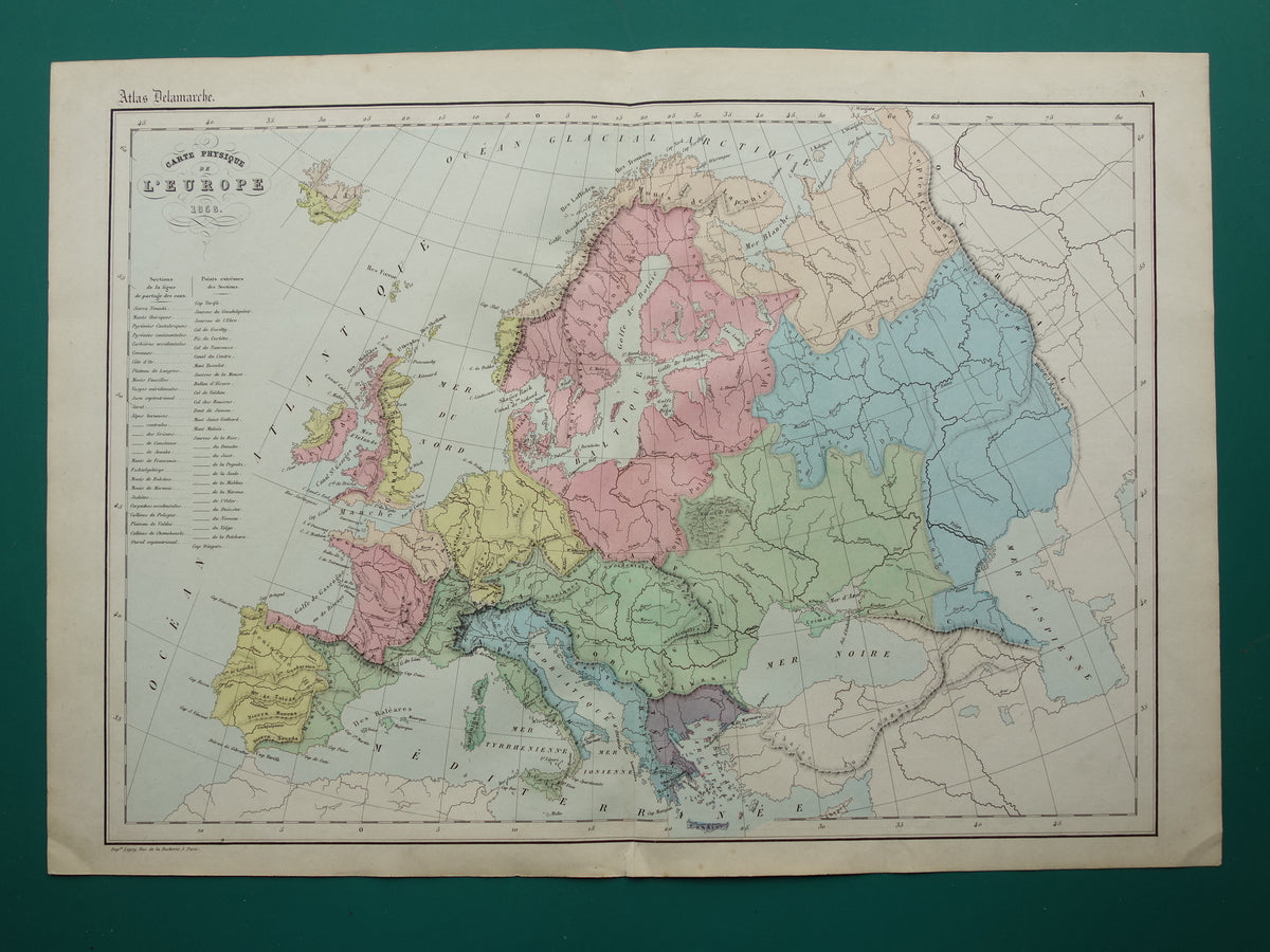
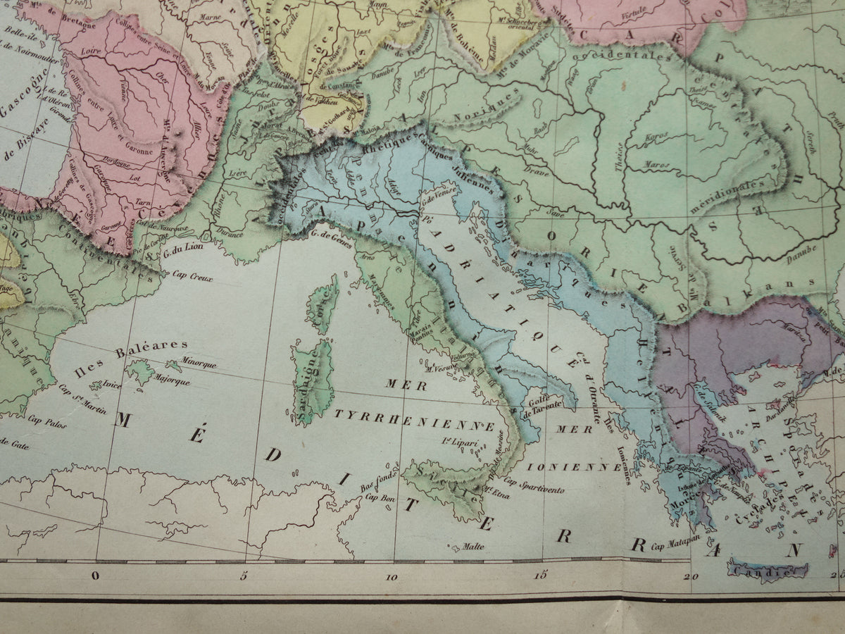
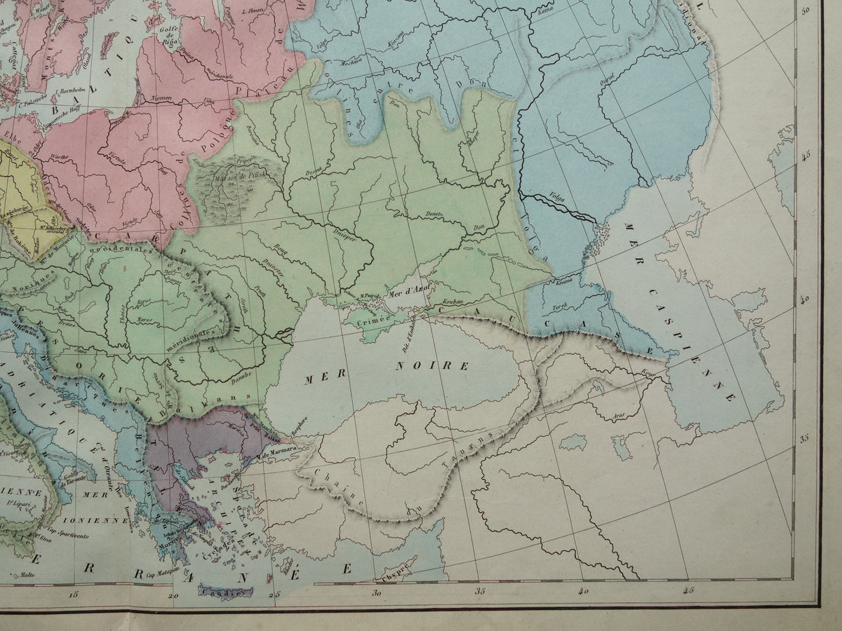
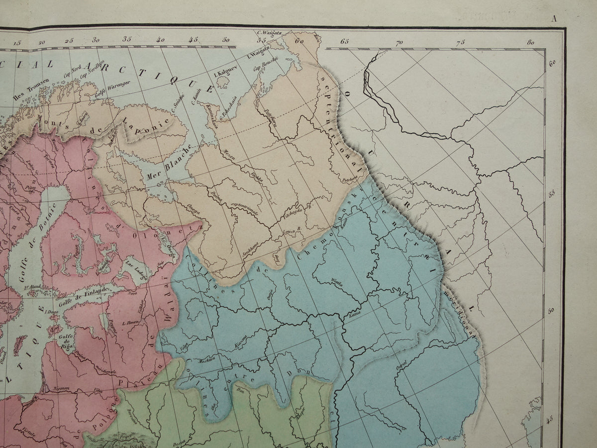
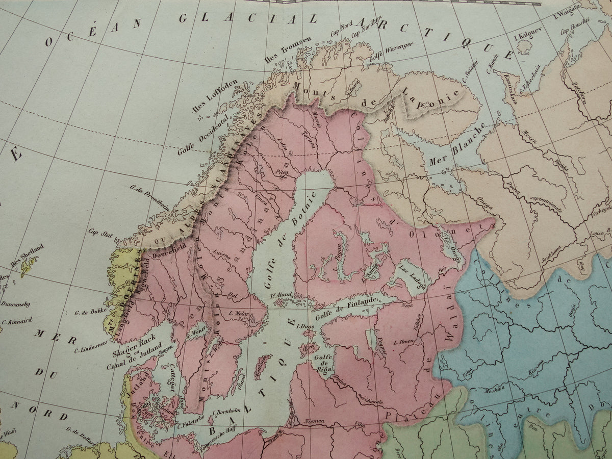
Oude kaart van rivieren in Europa uit 1859 Originele antieke Franse landkaart riviersystemen

Oude kaart van rivieren in Europa uit 1859 Originele antieke Franse landkaart riviersystemen

Regular price €24,95
Regular price Sale price €24,95
Sale Sold out
Shipping calculated at checkout.

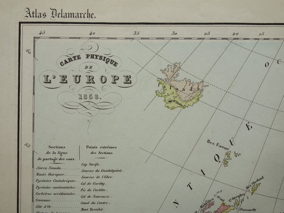
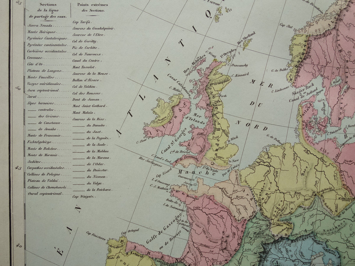
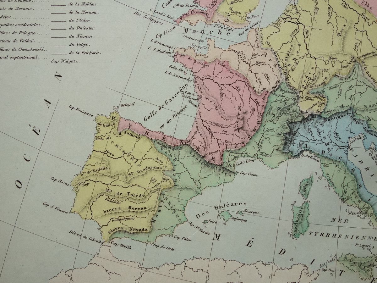
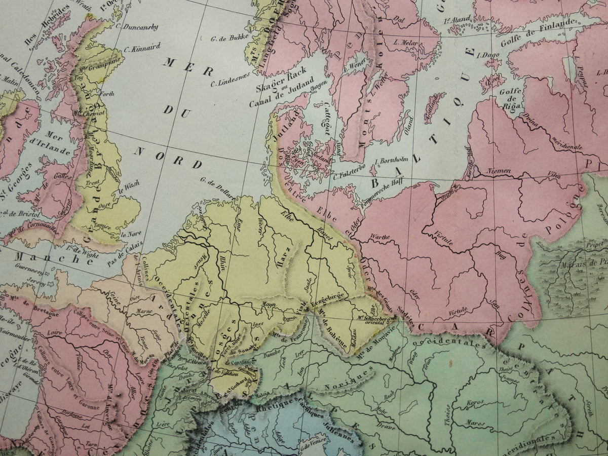
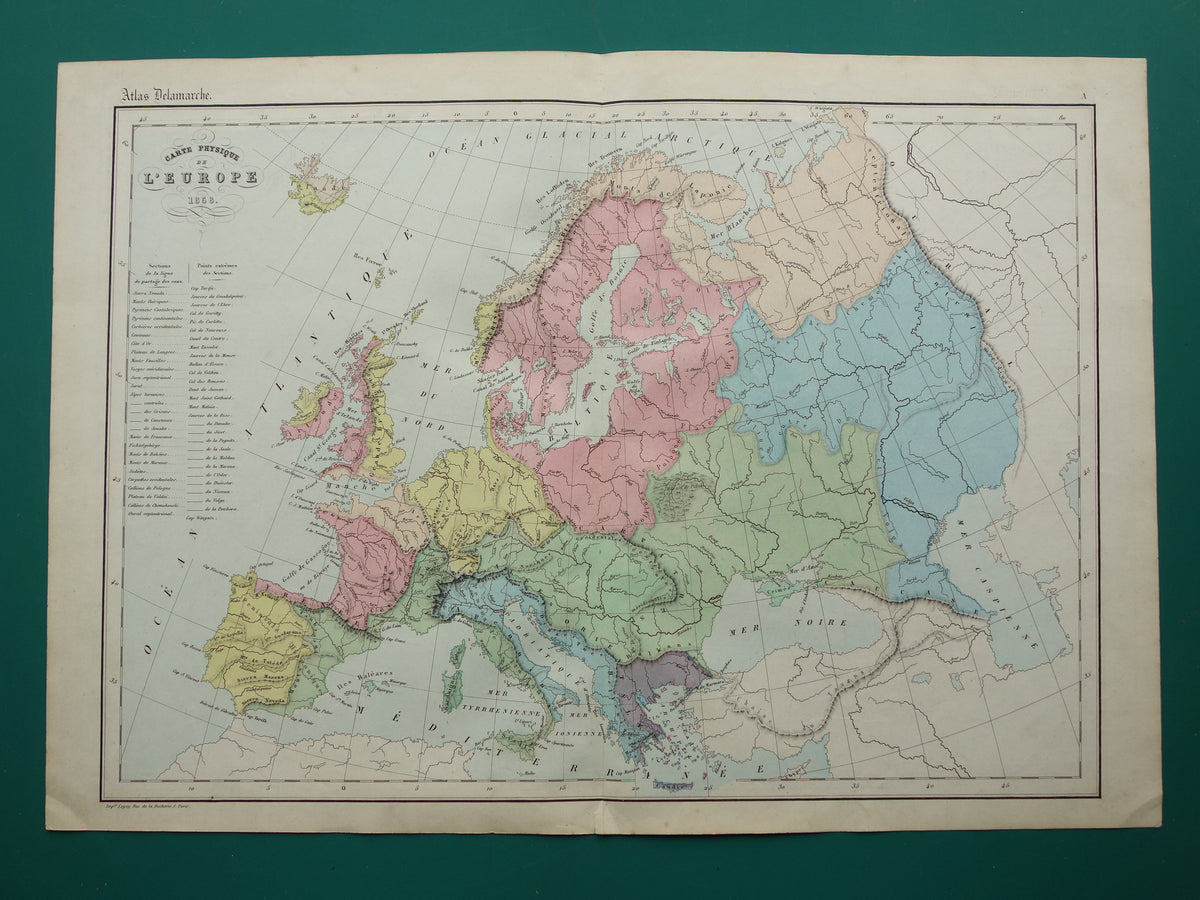
Te koop is een kleurrijke antieke fysieke kaart van de riviersystemen in Europa. De kaart is met de hand ingekleurd. Leuk detail is dat het jaar 1858 gedrukt staat in de titel.

Afmetingen: 33,5 x 48 cm

Conditie: in goede staat (= wat kleine tekenen van ouderdom/gebruik - klein scheurtje onderaan de middenvouw, in onderste marge - in goede algehele conditie). 

Afkomst: Atlas de geographie physique, politique, historique adopte par l'universite - Delamarche - Uitgave van 1859


BESTEL ZONDER RISICO
Bij Oudekaarten.com bestelt u altijd zonder risico. Bent u niet helemaal tevreden met uw aankoop? U kunt uw aankoop retourneren en krijgt dan uw volledige aankoopbedrag retour. Voor Nederlandse klanten is retourneren gratis.


View full details
  • Guaranteed original old maps

    We sell only original antique and vintage maps. We guarantee that your purchase was made on or around the date stated in the description.

  • Fast shipping

    We ship same or next business day. Free or discounted shipping when you order two items. Click here for more info

"Beautiful card, exactly as described. Fast shipping and the card was packaged perfectly. Great transaction, thank you very much!"

ANNE ESCHER