Skip to product information
1 of 9

Oudekaarten.com

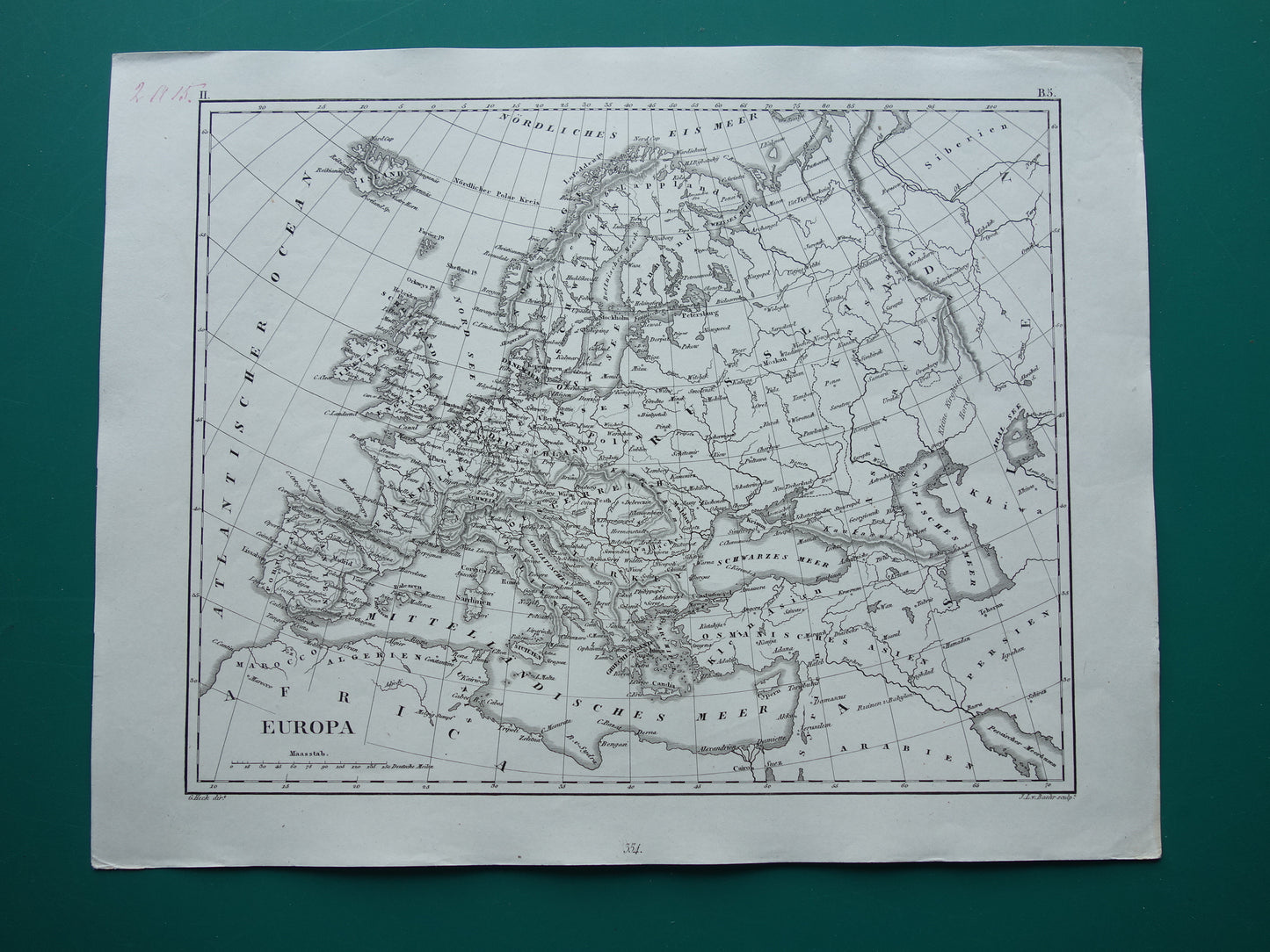
Old map of Europe 175+ years old antique map of the continent of Europe from 1849

Old map of Europe 175+ years old antique map of the continent of Europe from 1849

Regular price €25,95
Regular price Sale price €25,95
Sale Sold out
Shipping calculated at checkout.

For sale is a beautiful, antique German map of Europe from the year 1849.

Dimensions: 24.5 x 31.5 cm

Condition: The map is in good / very good condition (= number written in the top left corner - dog-ear in the top right - otherwise in very good condition).

Source: "Bilder-Atlas zum Koversations-Lexikon" - 1849 Edition


View full details
  • Guaranteed original old maps

    We sell only original antique and vintage maps. We guarantee that your purchase was made on or around the date stated in the description.

  • Fast shipping

    We ship same or next business day. Free or discounted shipping when you order two items. Click here for more info

"Beautiful card, exactly as described. Fast shipping and the card was packaged perfectly. Great transaction, thank you very much!"

ANNE ESCHER