Oudekaarten.com
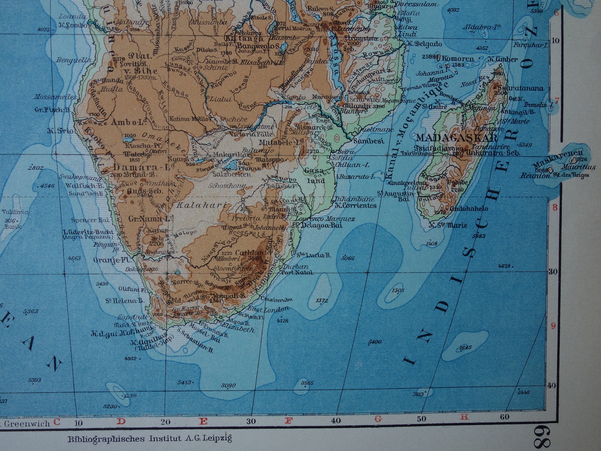
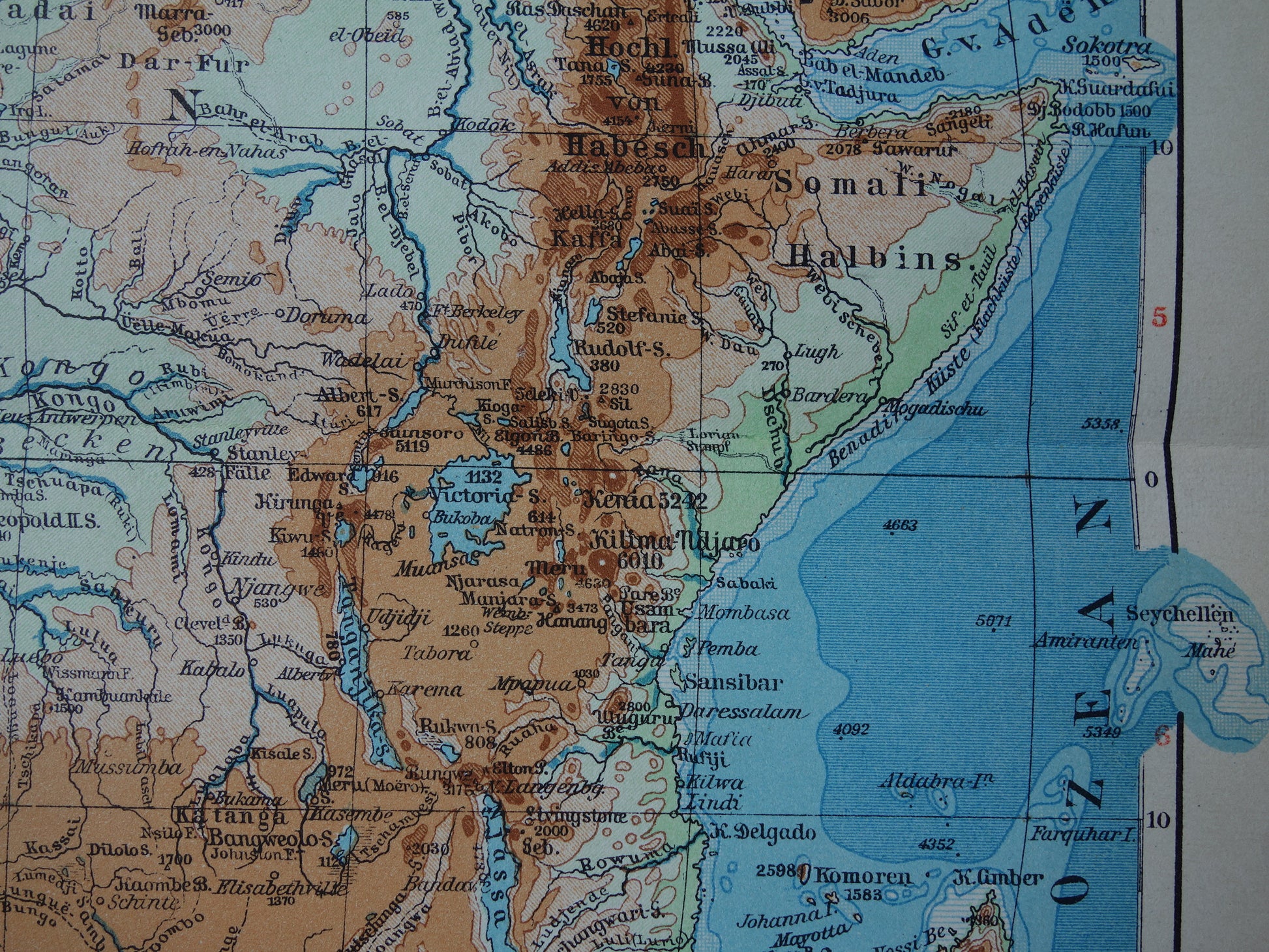
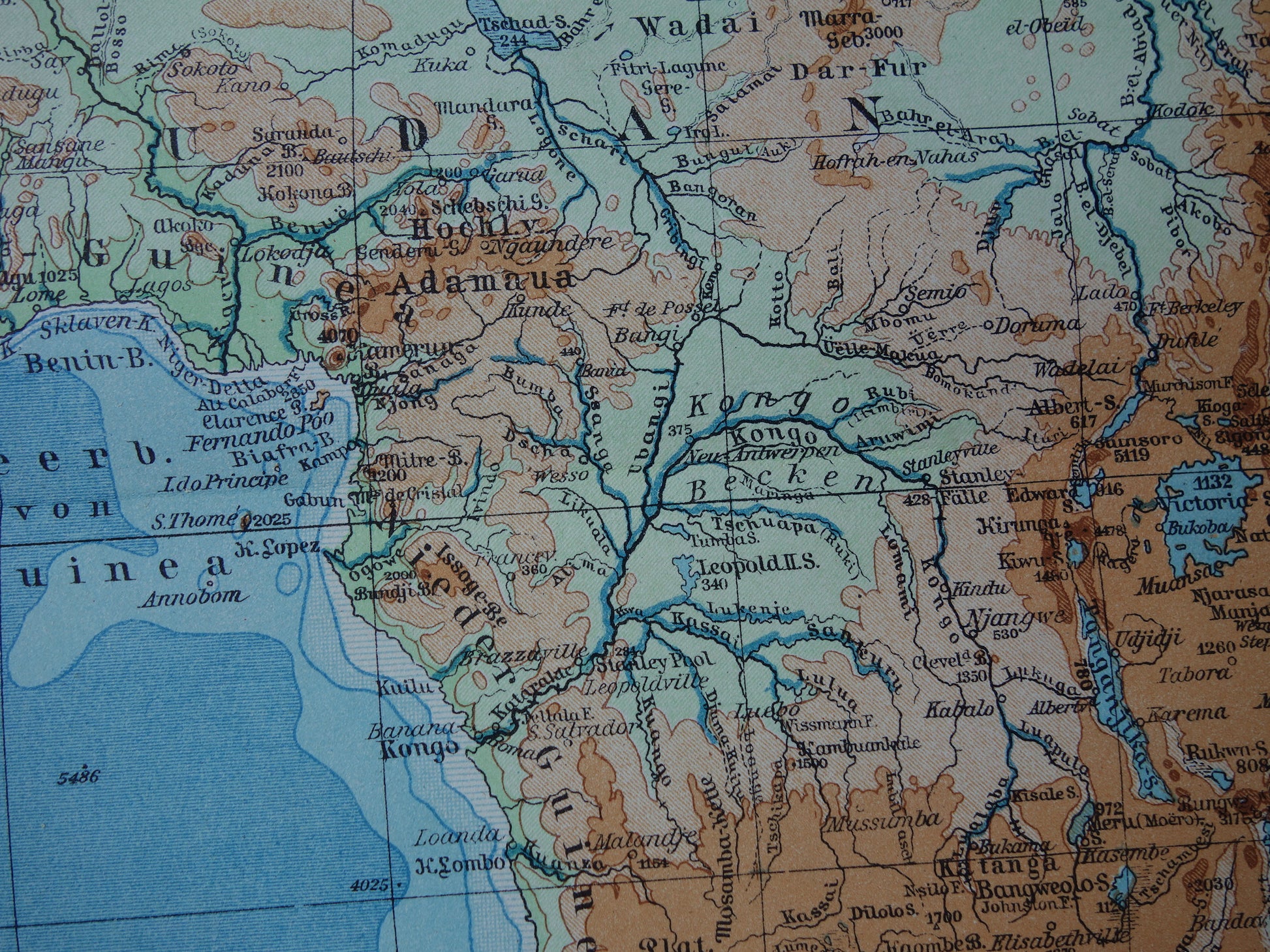
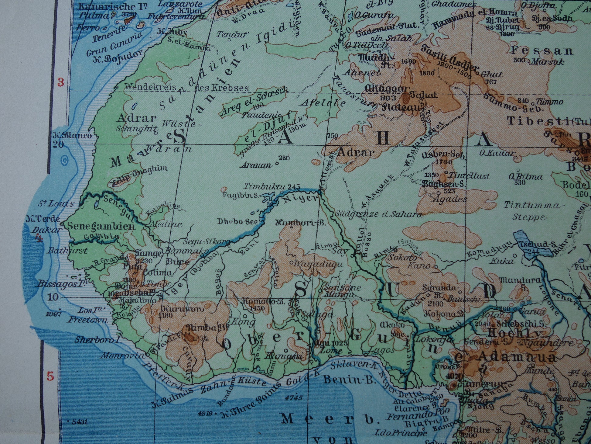
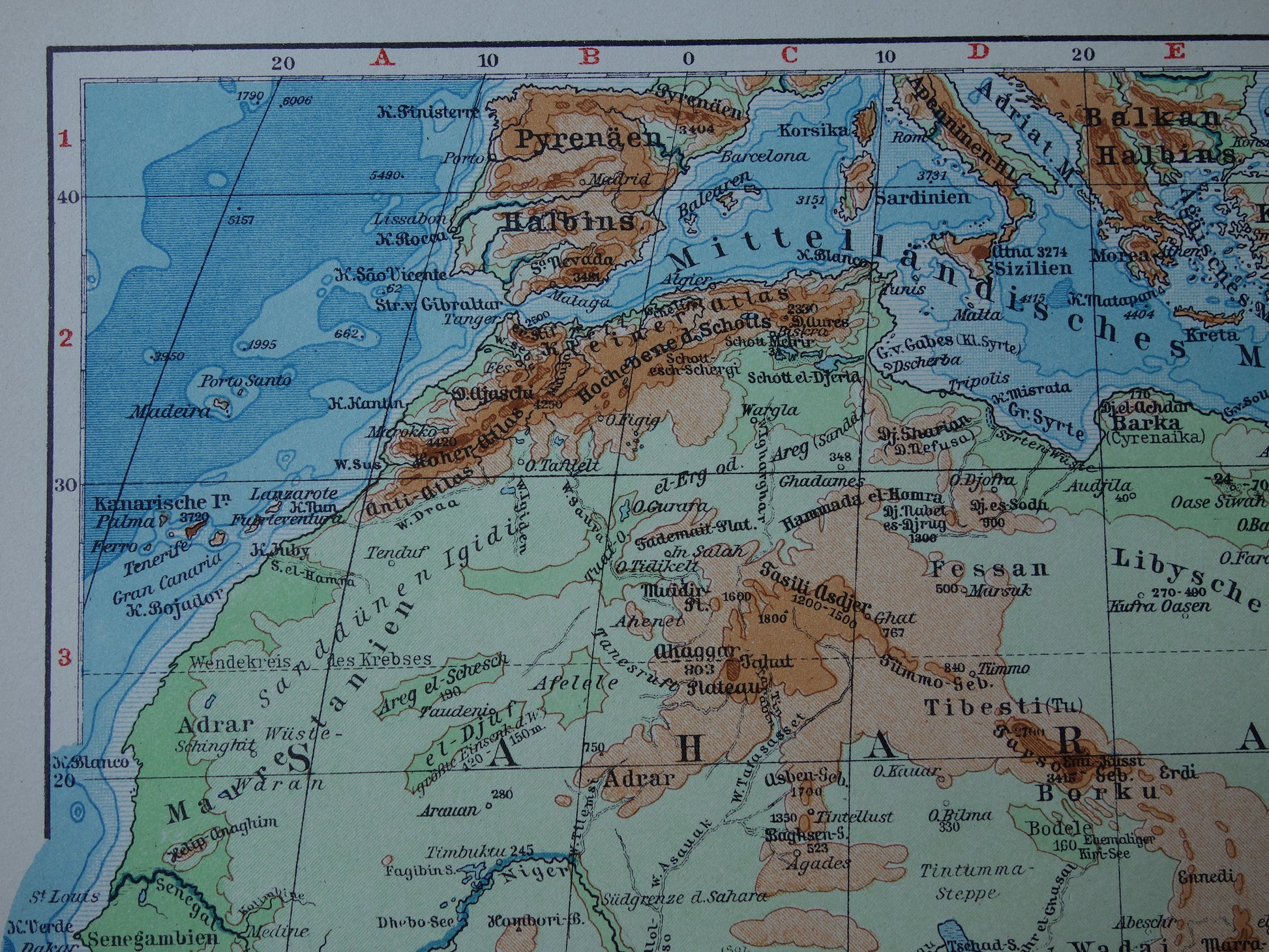
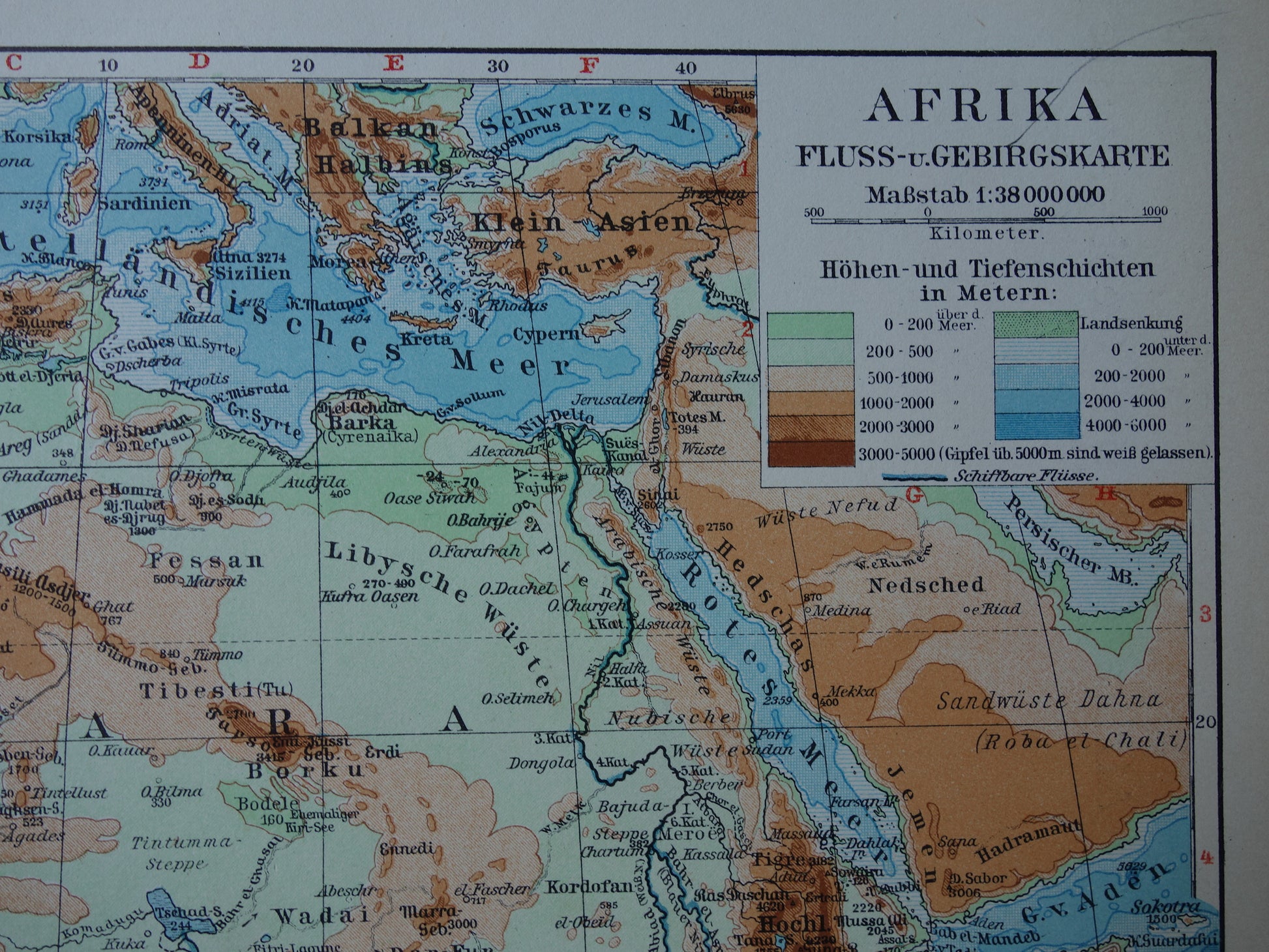
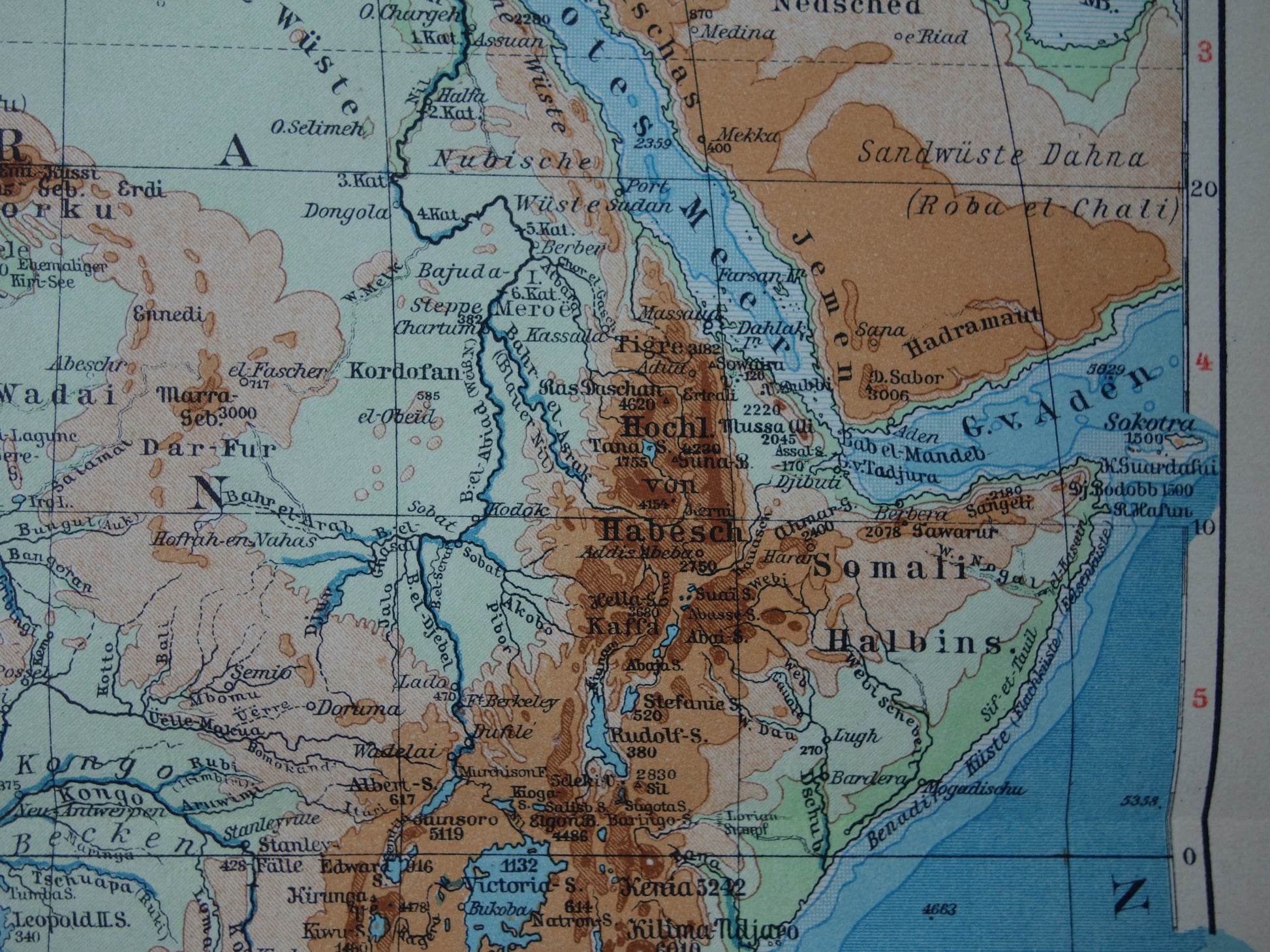
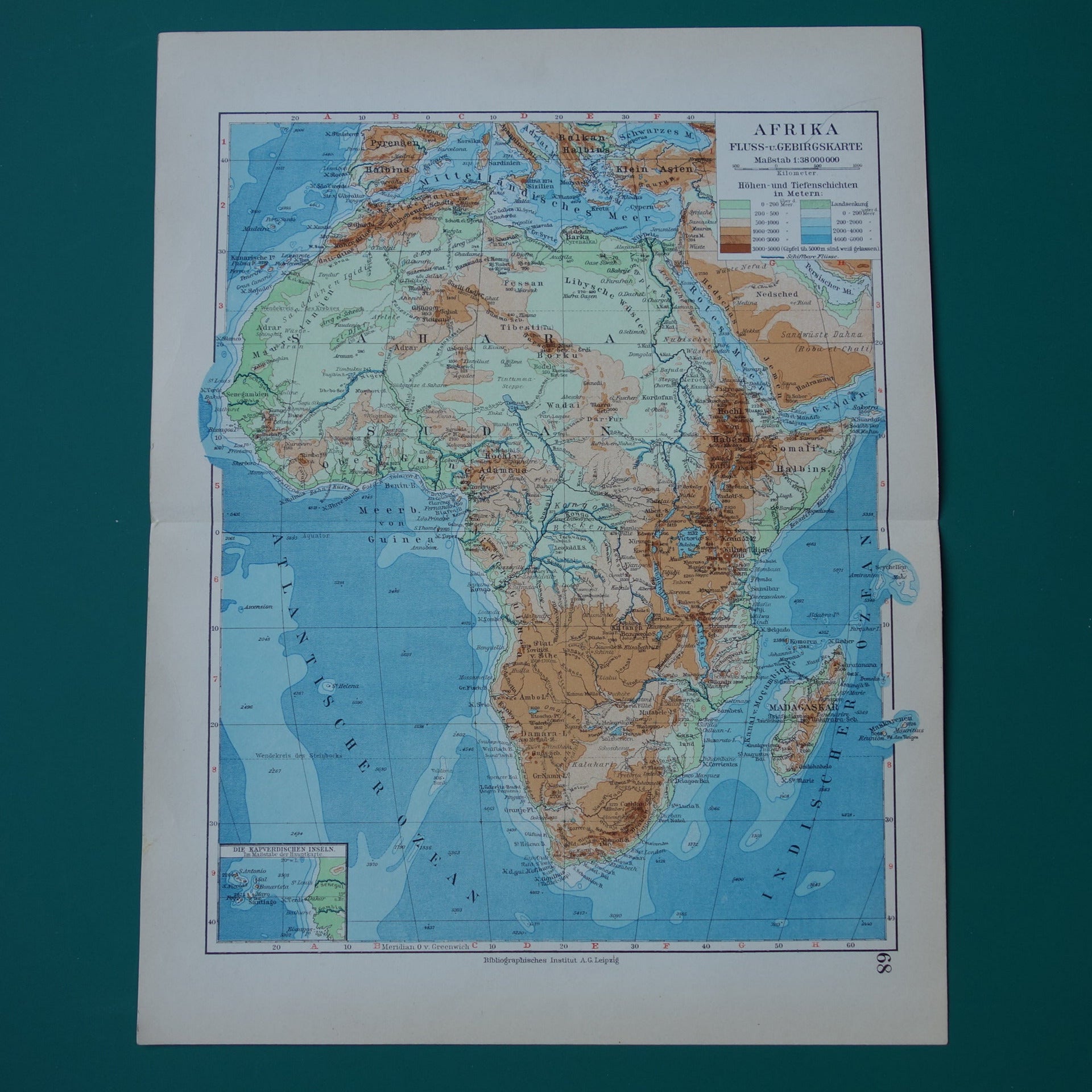
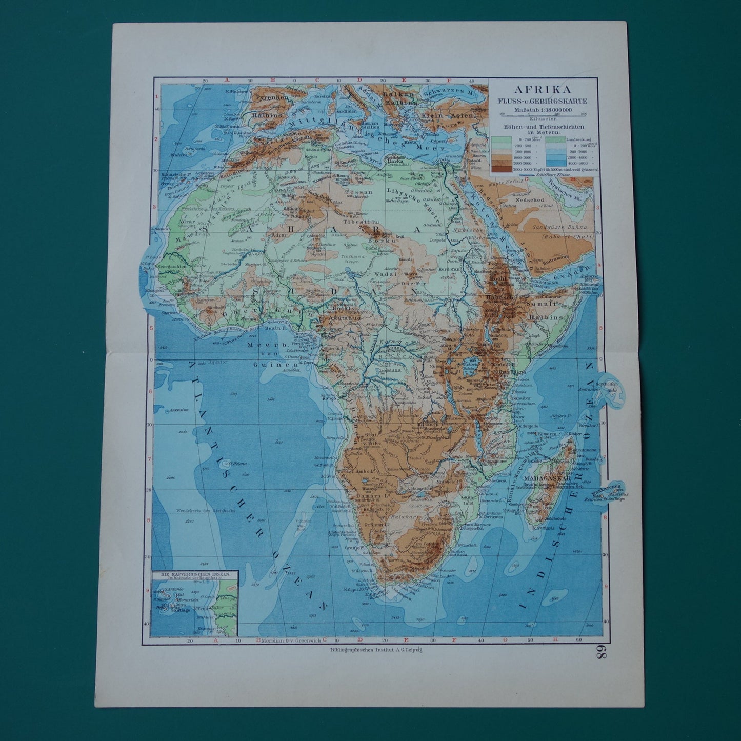
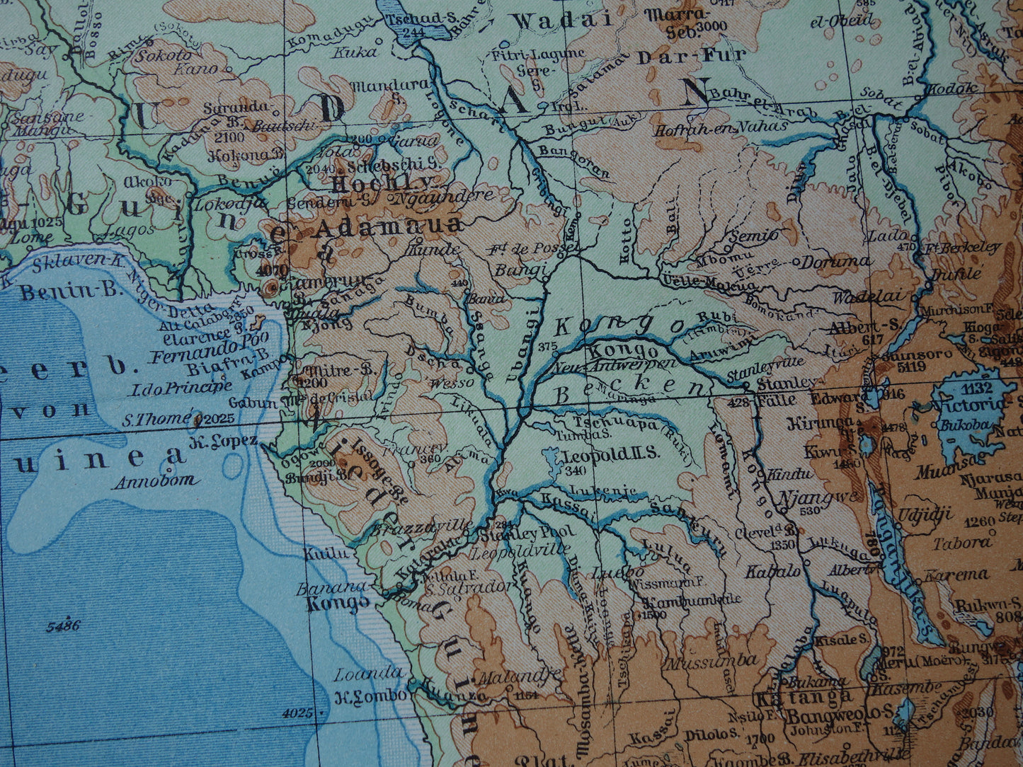
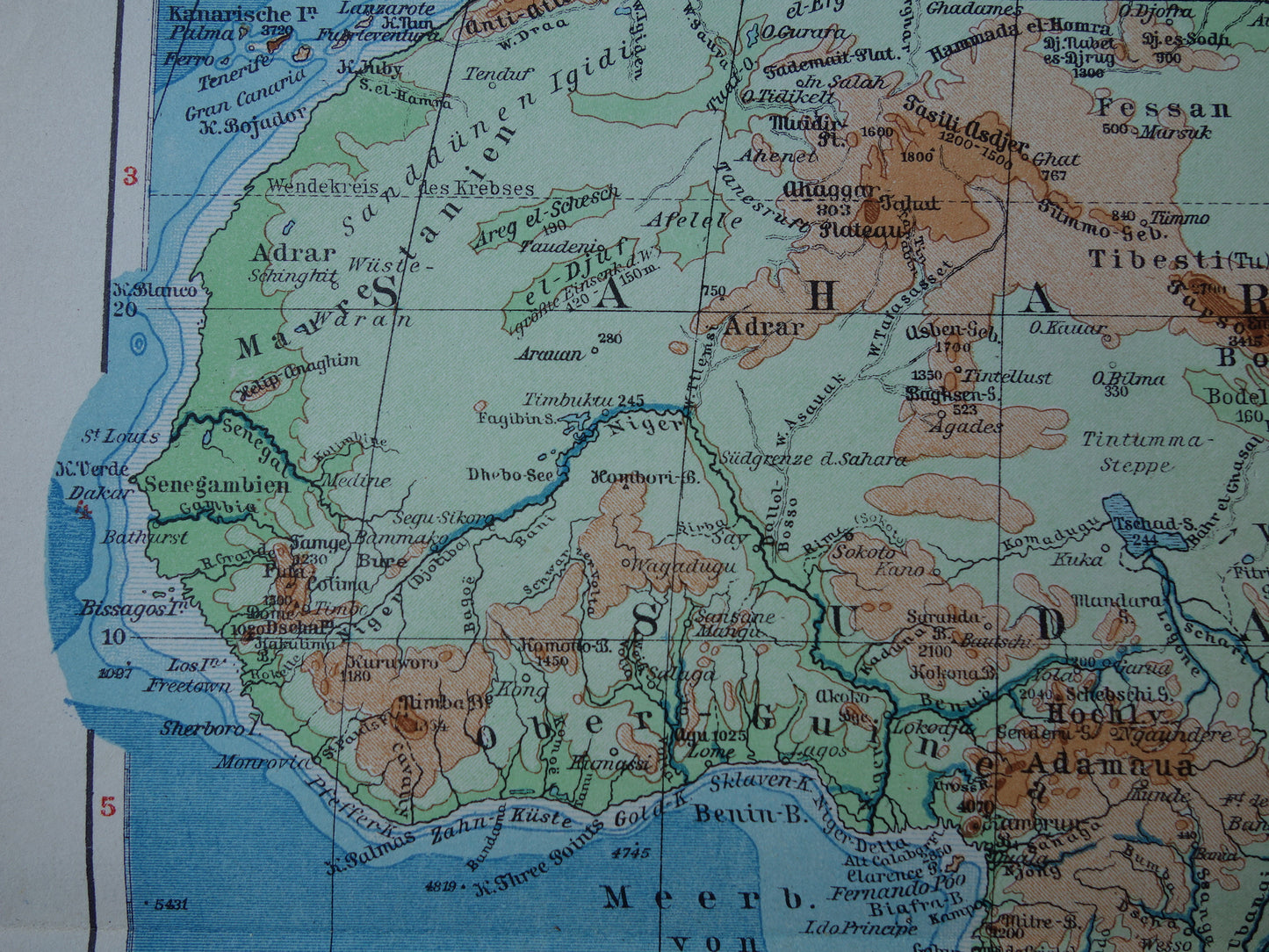
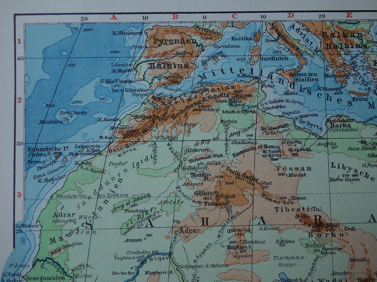
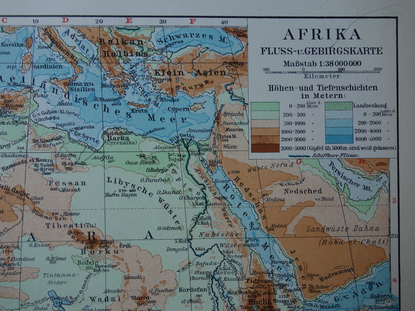
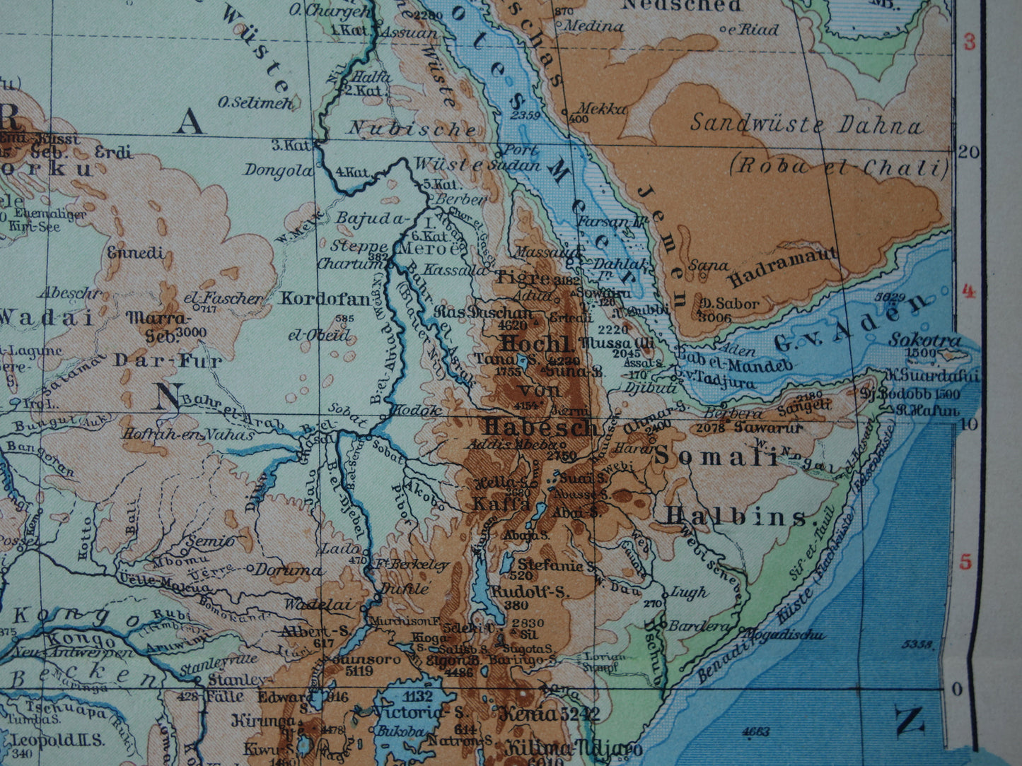
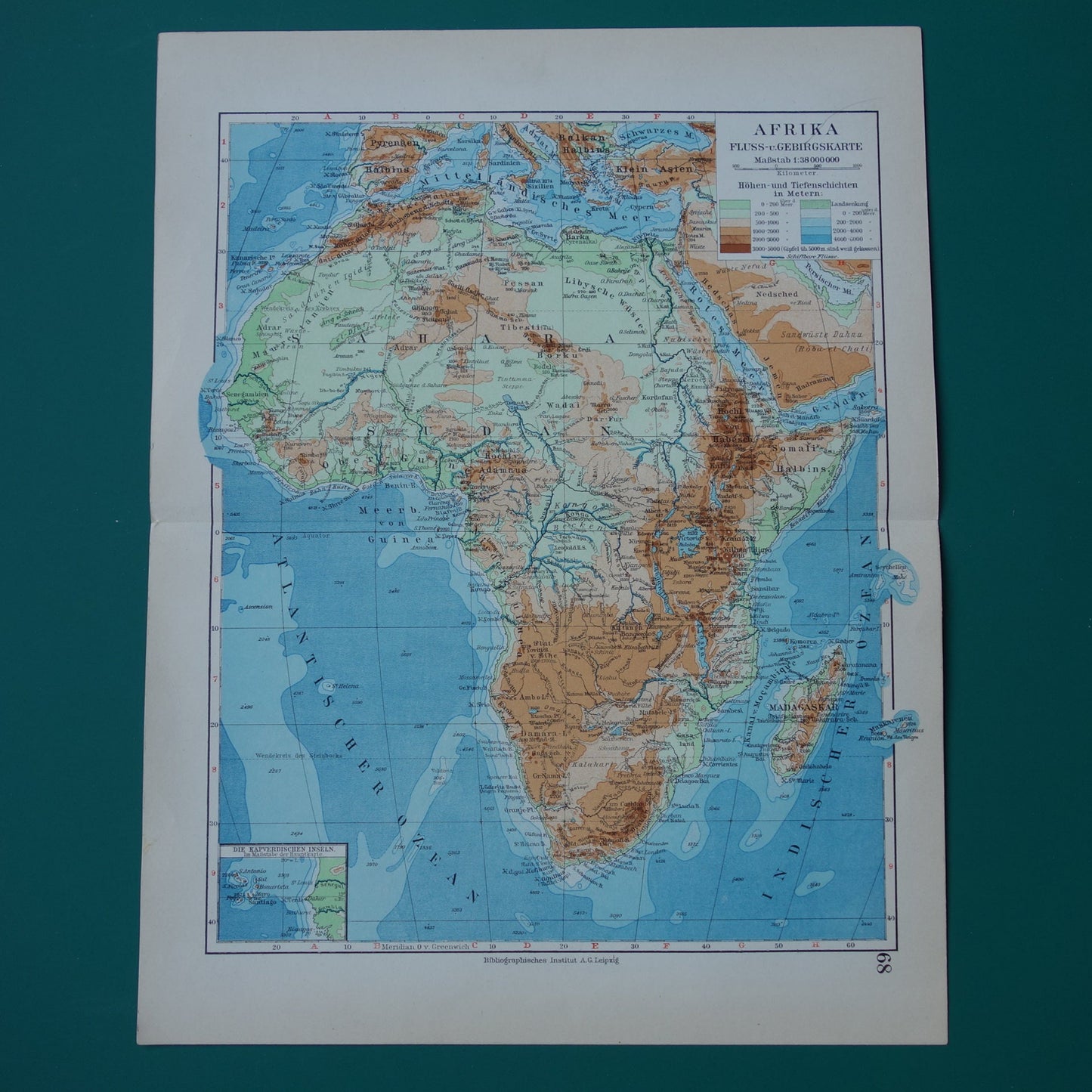
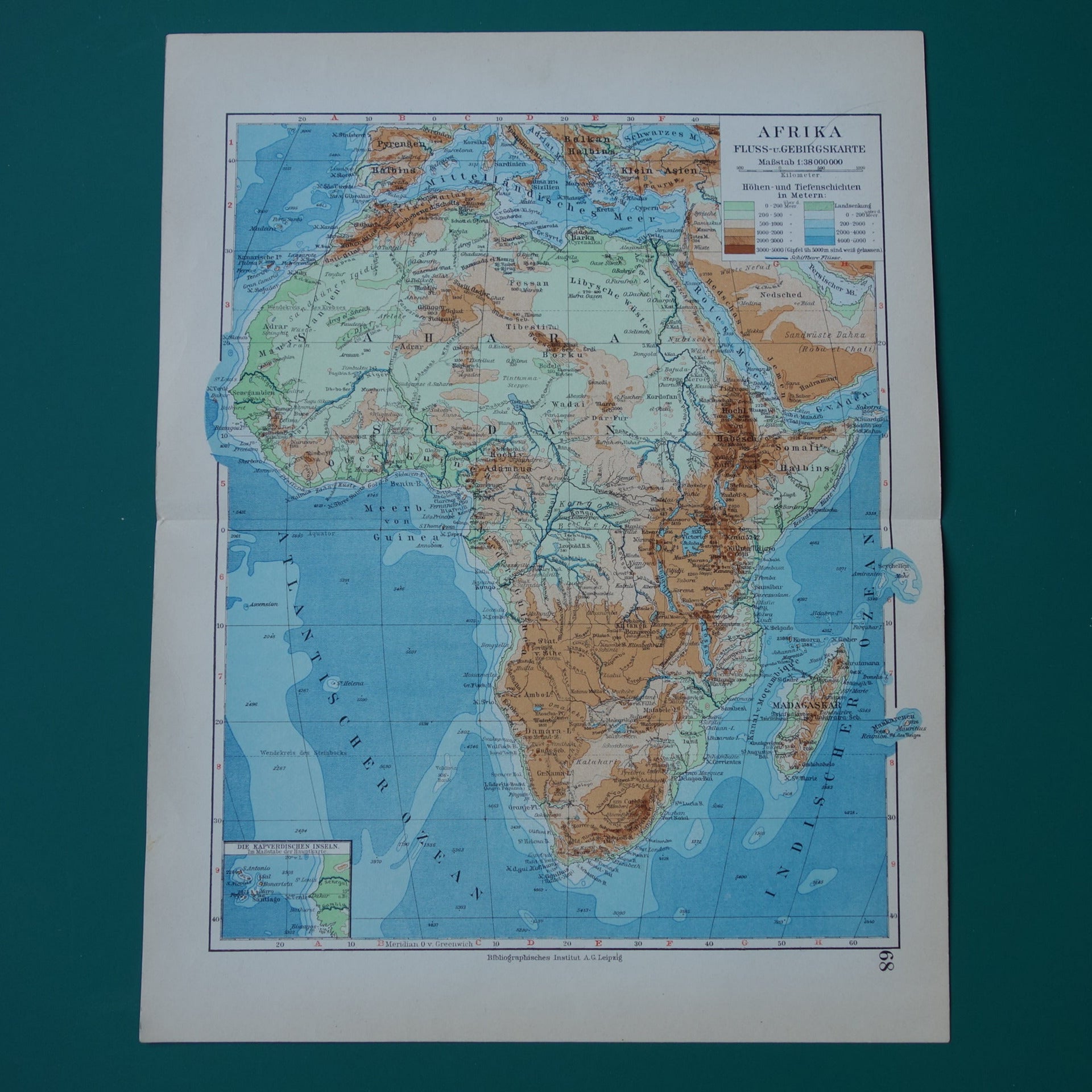
Old elevation map of Africa from 1931 original vintage map physical map of Africa continent - old german maps
Couldn't load pickup availability
Deel
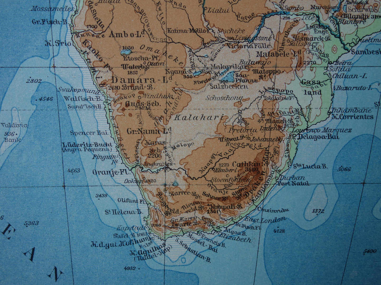
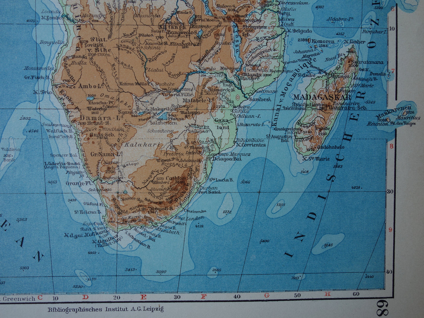
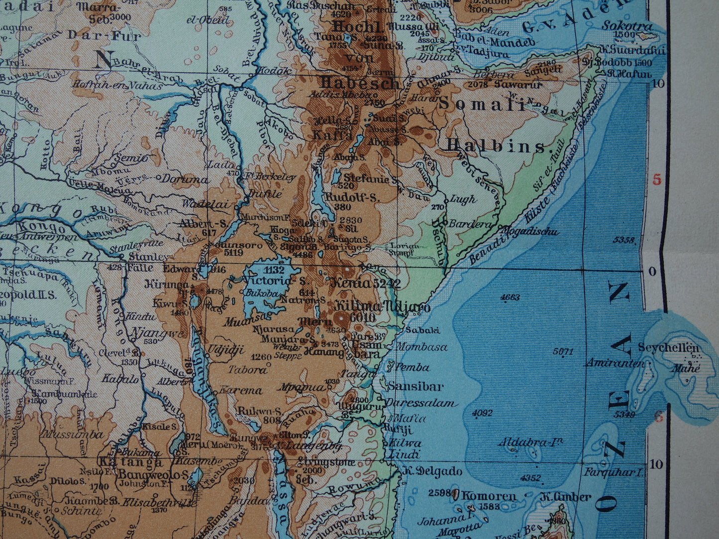
For sale is a German elevation map of Africa from the year 1931. The colors indicate height and depth, in addition, heights and depths are also mentioned scattered on the map.
Dimensions: 24.5 x 31.5 cm
Condition: good. Map was issued with centerfold.
Origin: Meyers Handatlas - Edition of 1931
ORDER WITHOUT RISK
At Oudekaarten.com you always order without risk. Are you not completely satisfied with your purchase? You can return your purchase free of charge and get your full purchase price back.
-
Guaranteed original
We sell only original antique and vintage maps. We guarantee that your purchase was made on or around the date stated in the description.
-
Delayed dispatch
We are on vacation and will ship your order on August 18th. Free shipping within the Netherlands when purchasing 2 cards. Click here for more info
"Beautiful card, exactly as described. Fast shipping and the card was packaged perfectly. Great transaction, thank you very much!"
ANNE ESCHER