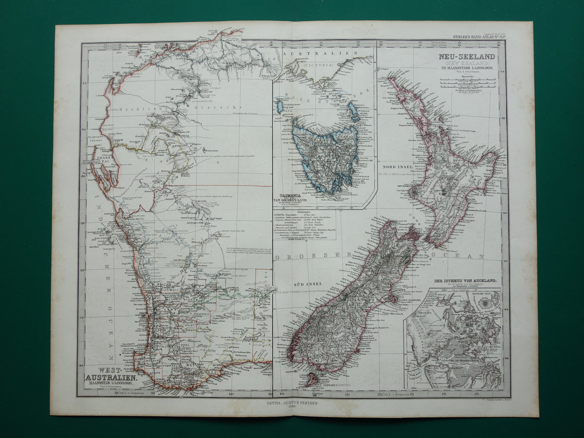
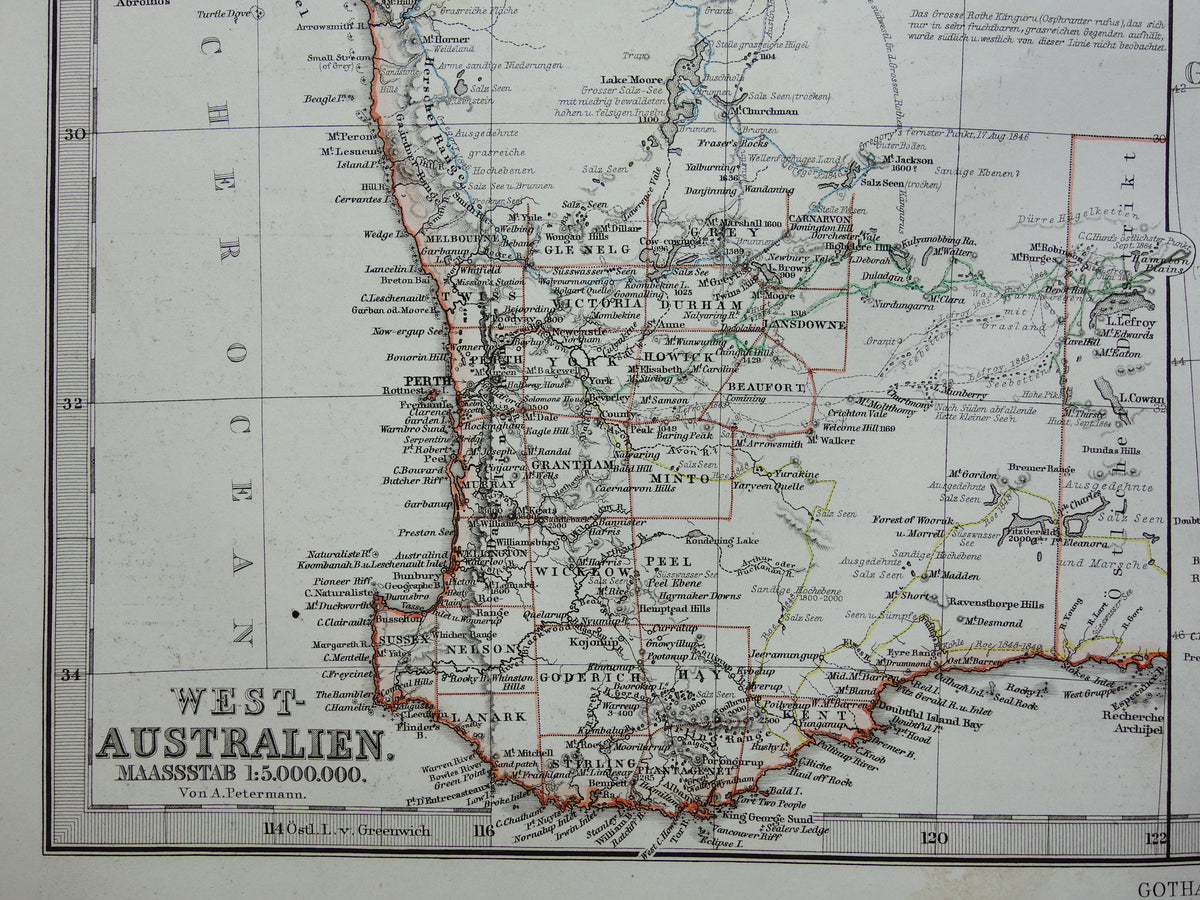
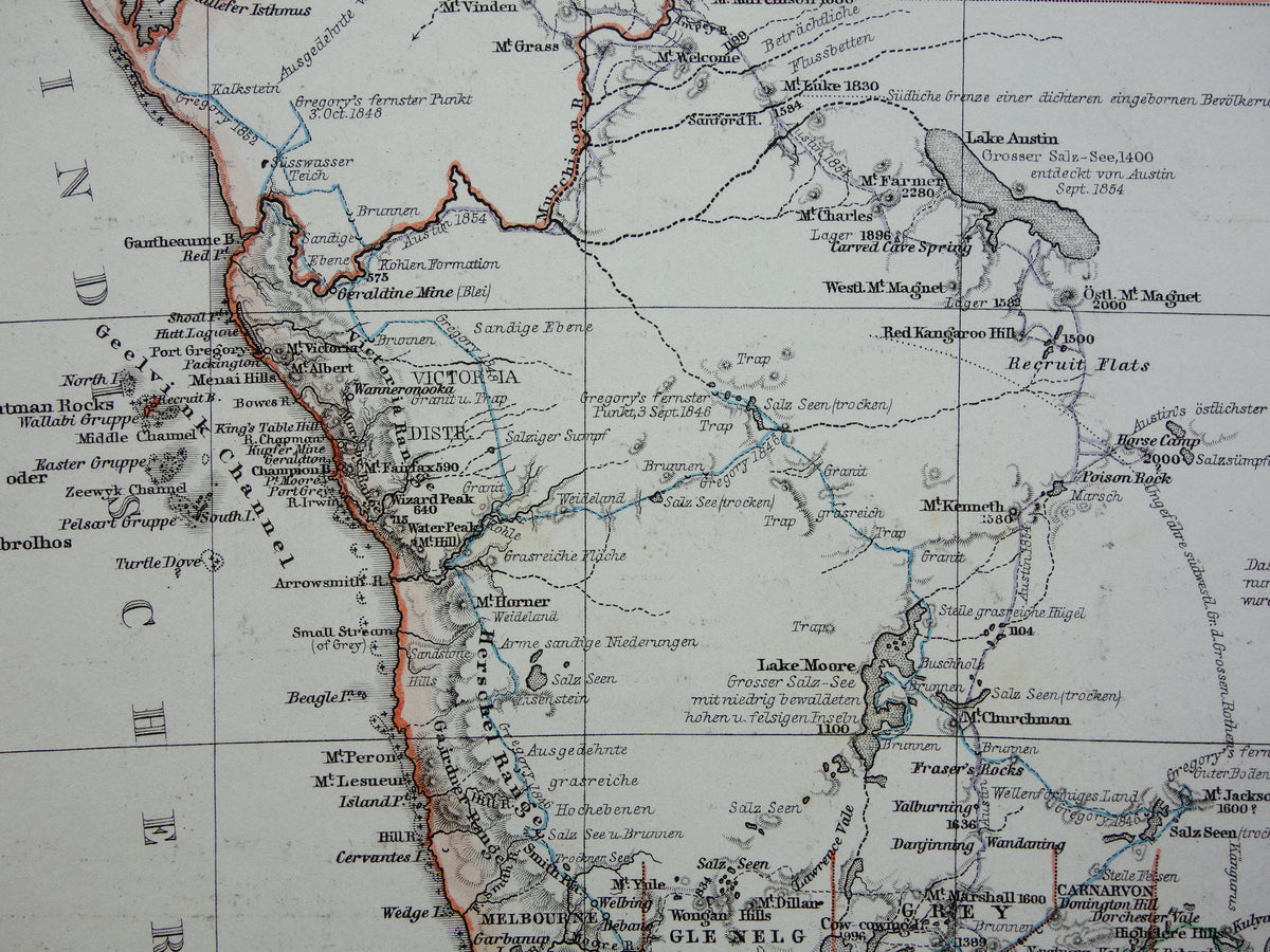
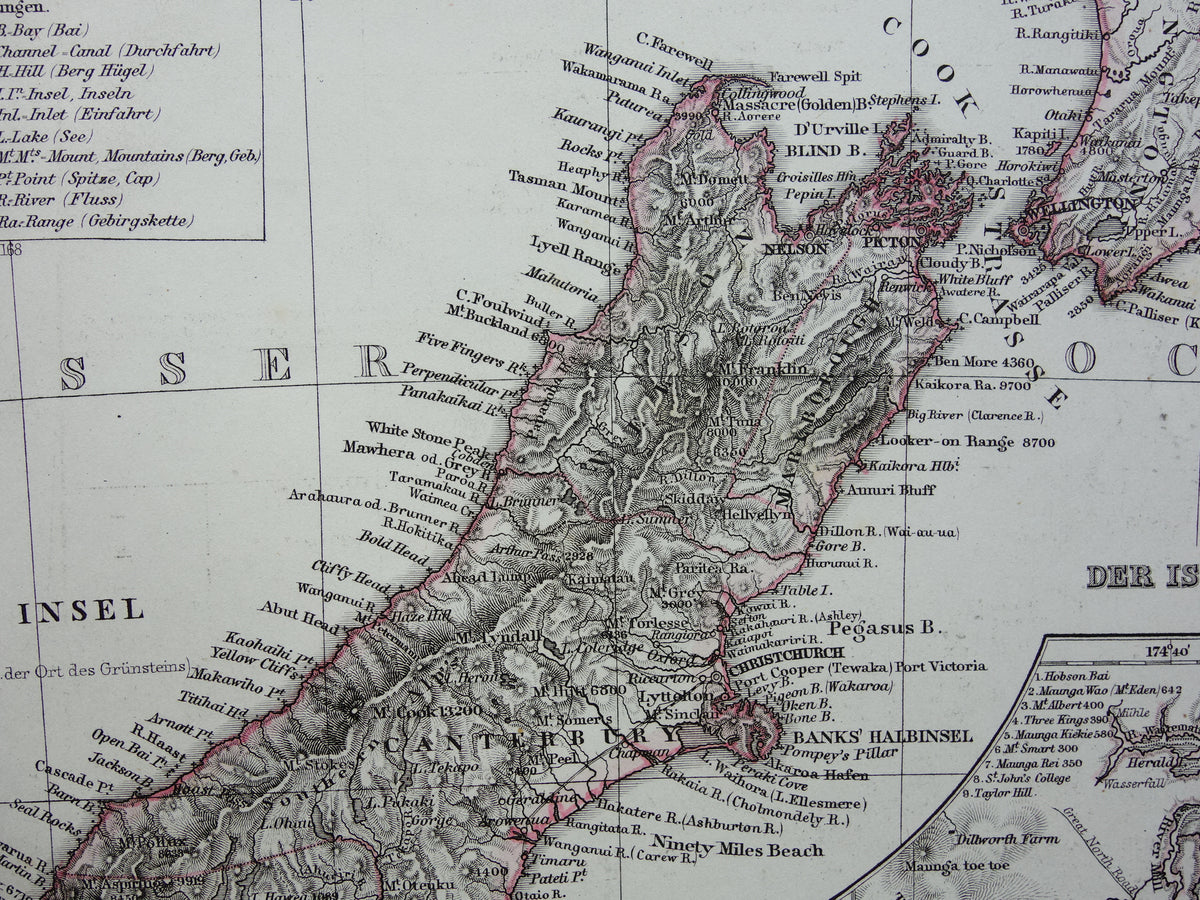
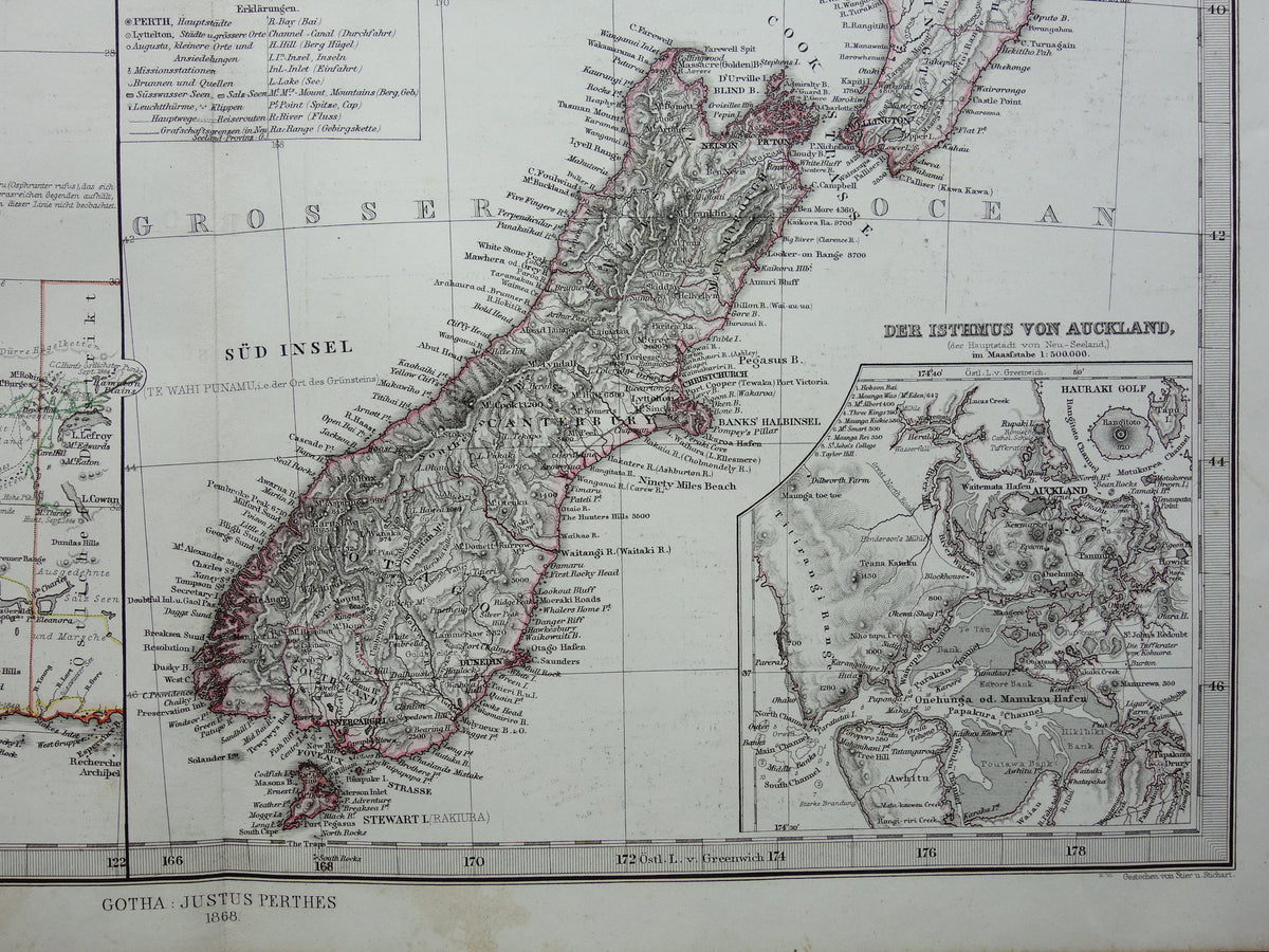
Beautiful large antique map of Western Australia, Tasmania and New Zealand. The map is very detailed; zoom in on the photos to see this clearly. Australia was still largely undiscovered in 1868, and this is well illustrated on the map by the blank areas. The routes of various explorers are indicated on the map, and a particularly interesting feature is the numerous comments found here and there, such as "Fruchtbare Grasreiche Gegend" & "Ausgedehnte Salz Seen". Having some knowledge of German therefore makes the map even more enjoyable.
Dimensions: 37 x 45.5 cm
Condition: good (= a few minor signs of age and use - the paper has some age-related spots, especially in the margins - paper is intact - in good overall condition). Issued with a center fold.
Origin: Stieler's Hand-Atlas - 1868 edition
ORIGINAL ANTIQUE MAP Oudekaarten.com only sells original antique maps; we do not sell modern reprints.