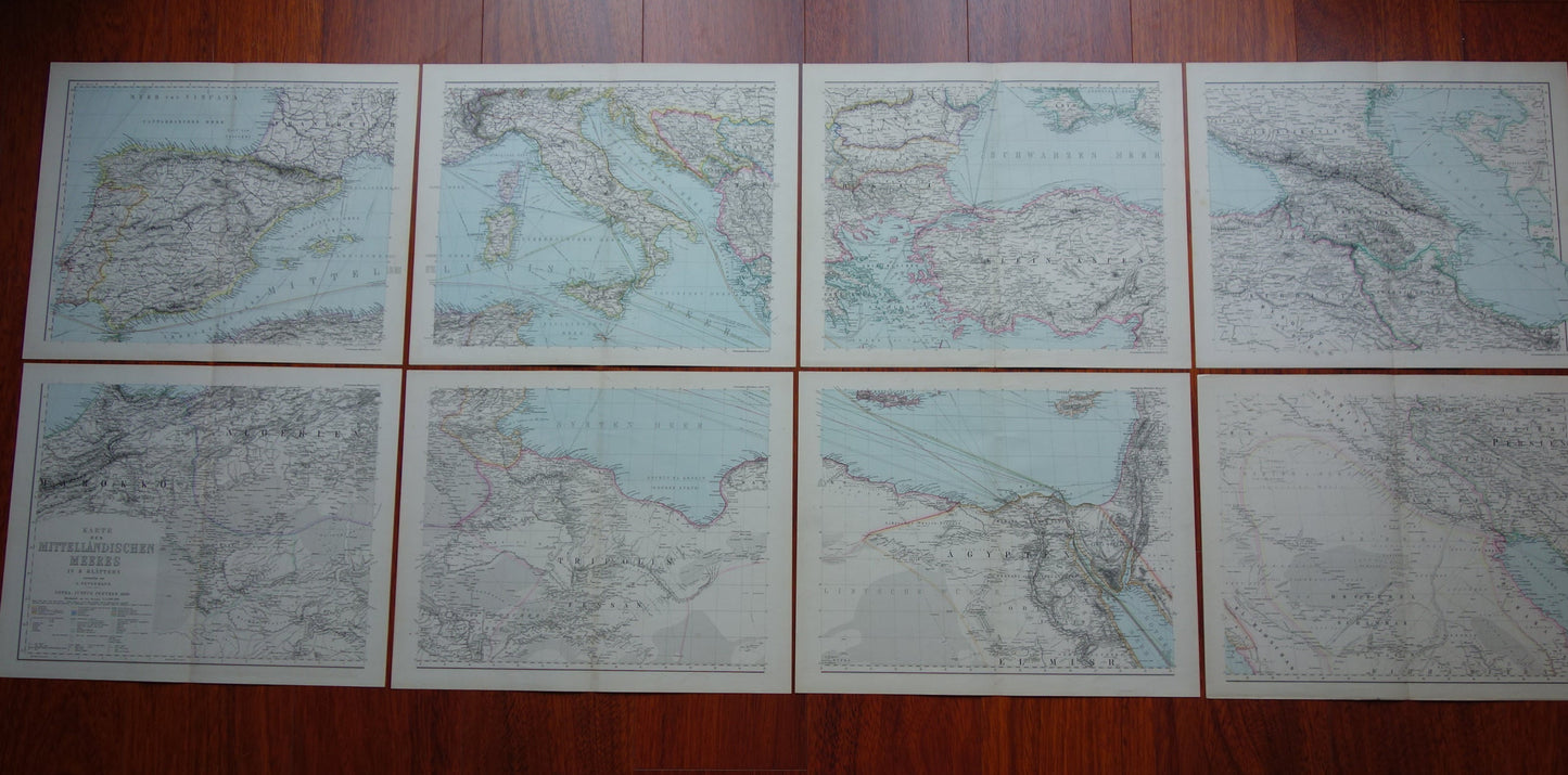
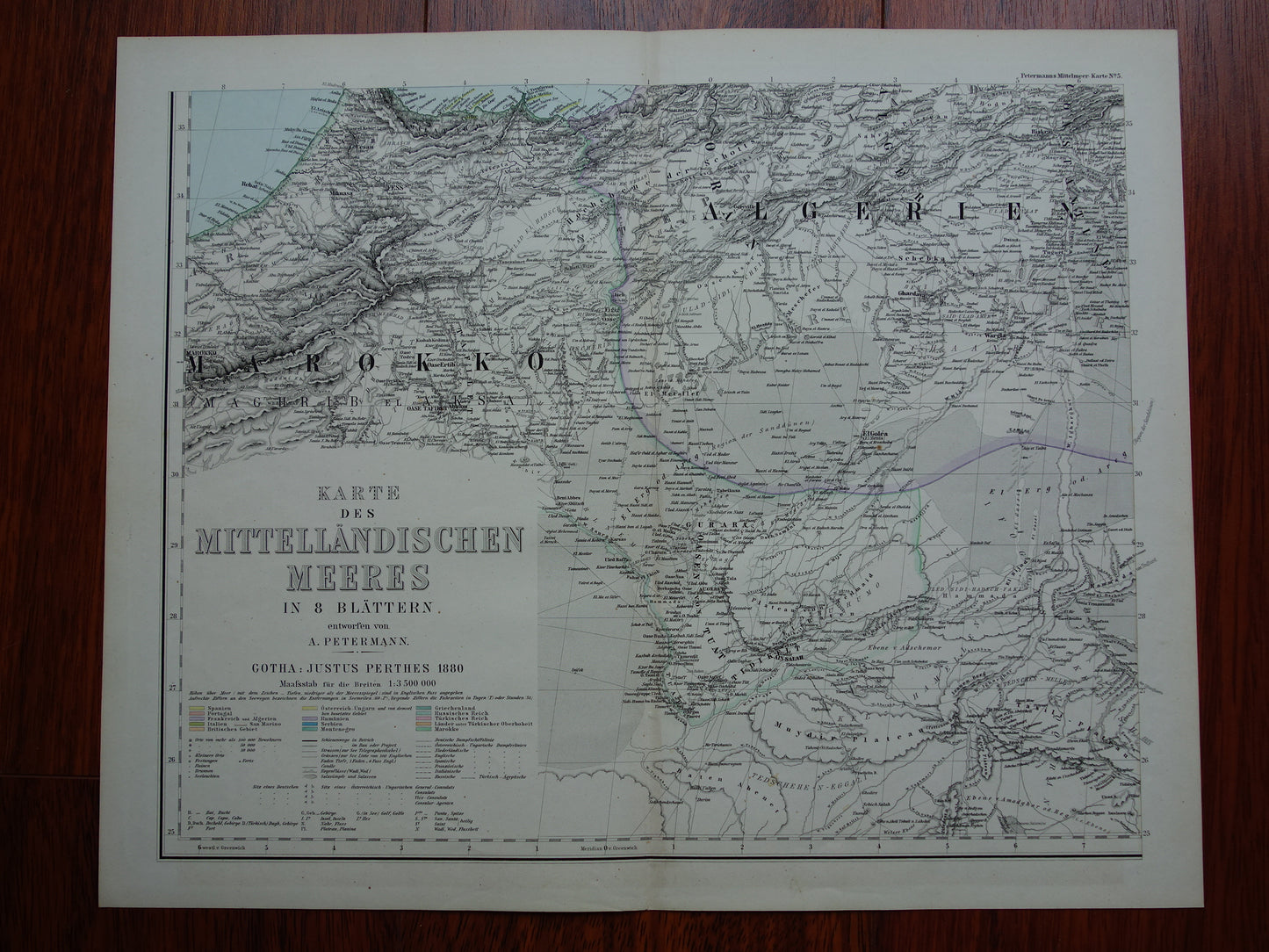
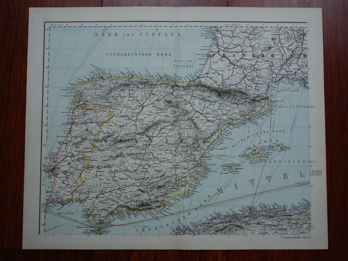
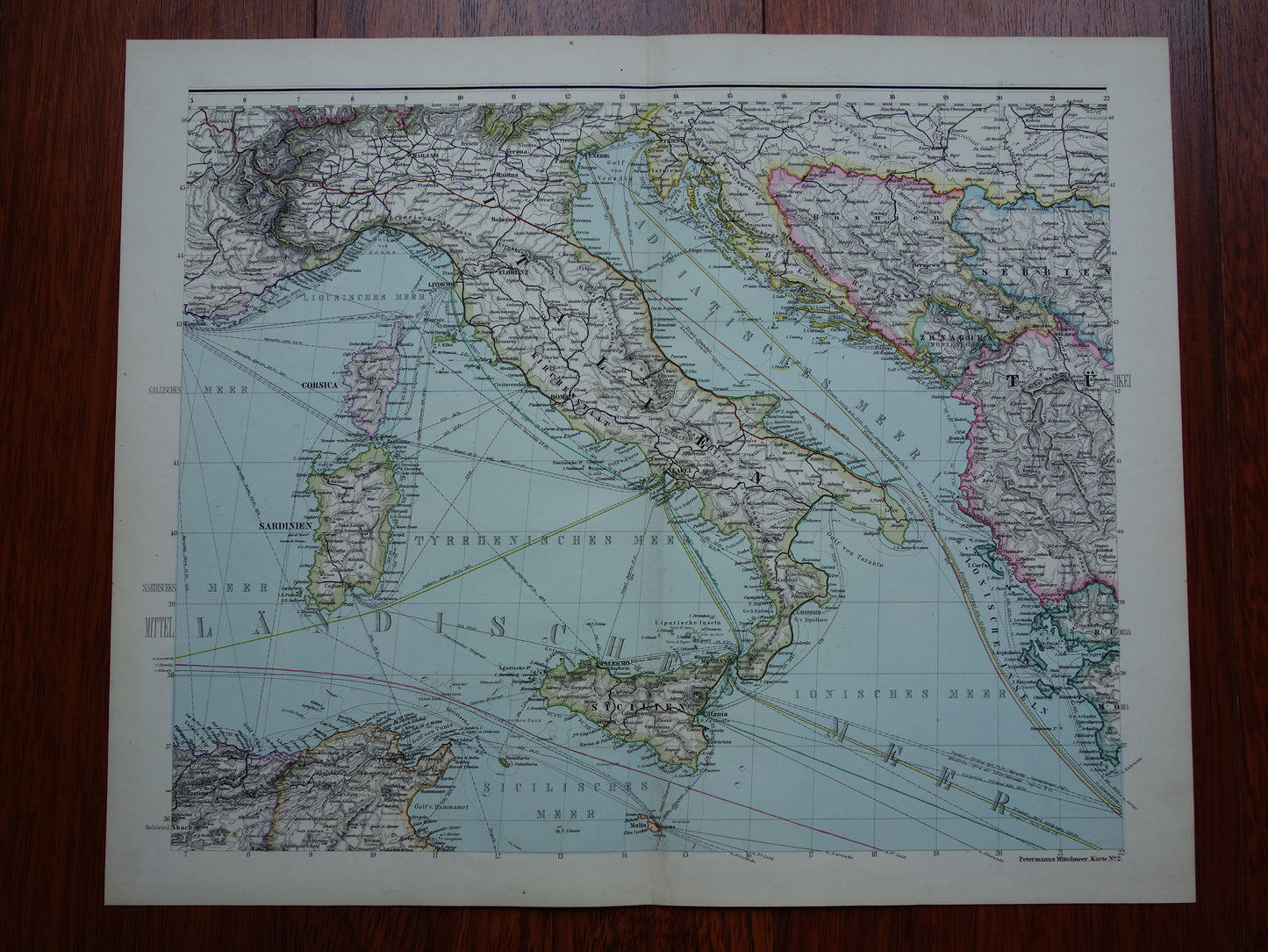
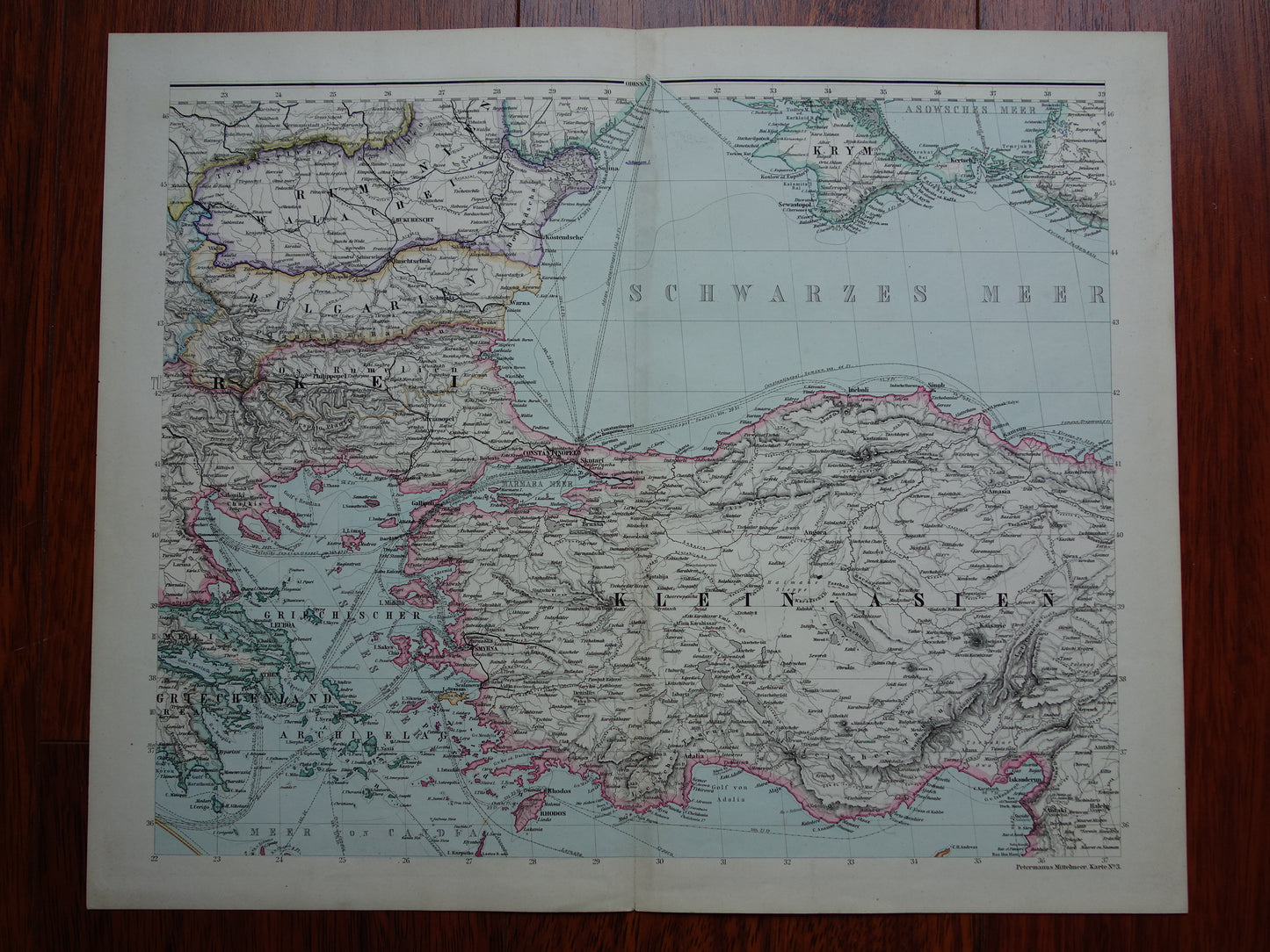
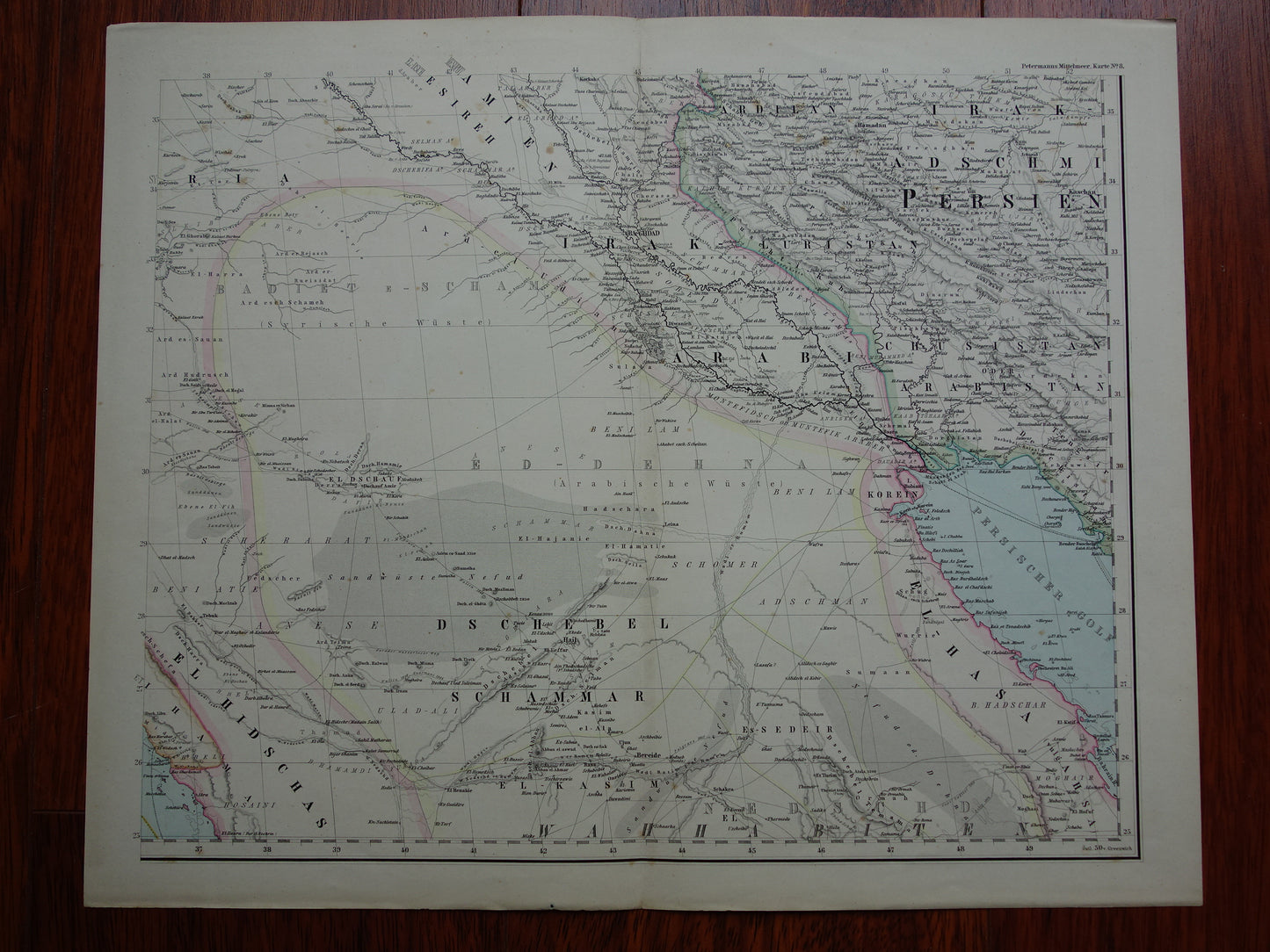
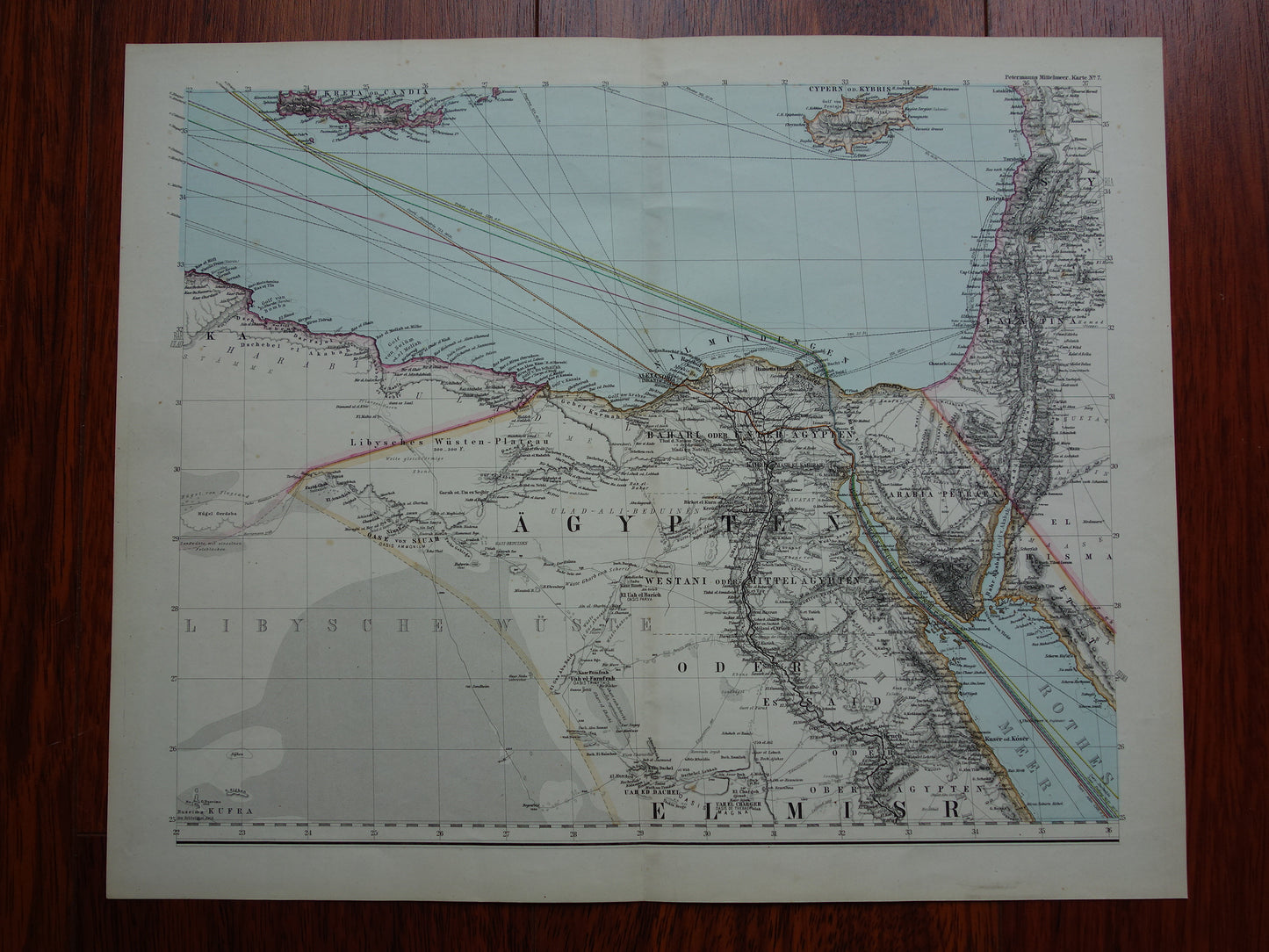
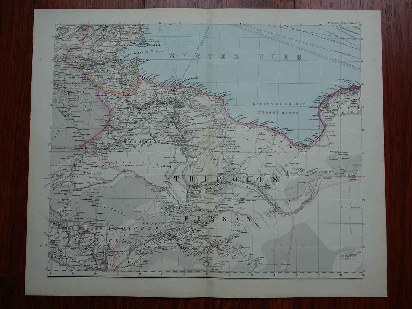
Very large old German map of the Mediterranean / southern Europe from the year 1880. This colorful and detailed map also shows the most important shipping lines from that time. A nice detail is the year 1880 in the title. The map is printed on eight sheets that together make a very large map.
Dimensions: 77 x 190 cm (each sheet measures 38.5 x 47.5 cm)
Condition: in good overall condition (= some minor signs of age and use - all pages intact). Each page has a centrefold, as issued.
Origin: A. Petermann - Justus Perthes, Gotha, Germany- Edition of 1880
ORDER WITHOUT RISK At Oudekaarten.com you always order without risk. Are you not completely satisfied with your purchase? You can return your purchase free of charge and get your full purchase price back.
We sell only original antique and vintage maps. We guarantee that your purchase was made on or around the date stated in the description.
Fast shipping
We will ship your order the next business day at the latest. Free shipping within the Netherlands when purchasing 2 cards. Click here for more information
"Beautiful card, exactly as described. Fast shipping and the card was packaged perfectly. Great transaction, thank you very much!"
ANNE ESCHER
Choosing a selection results in a full page refresh.