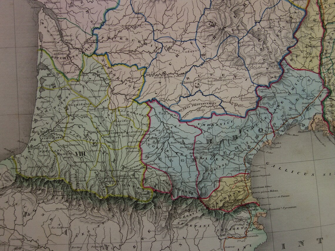
For sale is a large antique French map of Gaul in Roman times. The map clearly shows the border with Germania. All place names are given their ancient Latin names. A nice detail is the year in the title. It is a hand-colored map.
Dimensions: 61 x 84 cm (very large for an antique map)
Condition: The map is in good overall condition (some minor signs of age/use - paper is intact - in good overall condition). Issued with a centerfold.
Origin: Atlas de geographie ancienne, du moyen Age et Moderne - Delamarche - Paris
We sell only original antique and vintage maps. We guarantee that your purchase was made on or around the date stated in the description.
Fast shipping
We will ship your order the next business day at the latest. Free shipping within the Netherlands when purchasing 2 cards. Click here for more information
"Beautiful card, exactly as described. Fast shipping and the card was packaged perfectly. Great transaction, thank you very much!"
ANNE ESCHER
Choosing a selection results in a full page refresh.