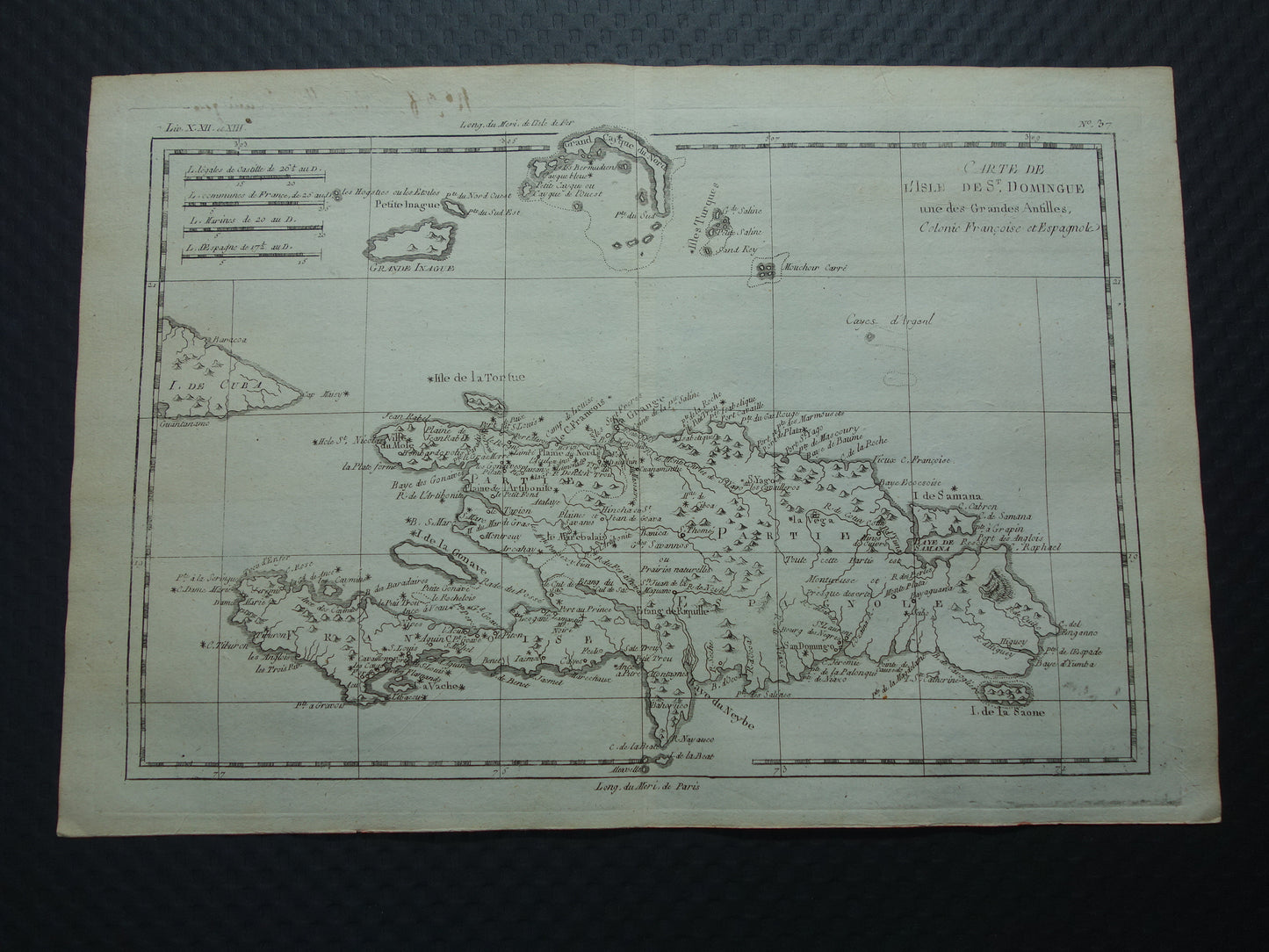
Beautiful, detailed map of the island of Hispaniola (Dominican Republic and Haiti) from 1784. Also visible are the Inagua Islands and the Turks and Caicos Islands. Wide margins and very suitable for framing.
Dimensions: 24.5 x 36 cm
Condition: Good (some minor signs of age and use). Some text written on the verso is also faintly visible in the top left margin. The map has a centerfold, as issued.
Origin: ' Atlas de toutes les Parties Connues du Globe Terrestre, Dressé Pour l'Histoire philosophique et politique des Etablissemens & du Commerce des Européens dans les deux Indes' - Raynal / Bonne - 1784
ORDER WITHOUT RISK At Oudekaarten.com, ordering is always risk-free. Not completely satisfied with your purchase? You can return it free of charge and receive a full refund.
We sell only original antique and vintage maps. We guarantee that your purchase was made on or around the date stated in the description.
Fast shipping
We will ship your order the next business day at the latest. Free shipping within the Netherlands when purchasing 2 cards. Click here for more information
"Beautiful card, exactly as described. Fast shipping and the card was packaged perfectly. Great transaction, thank you very much!"
ANNE ESCHER
Choosing a selection results in a full page refresh.