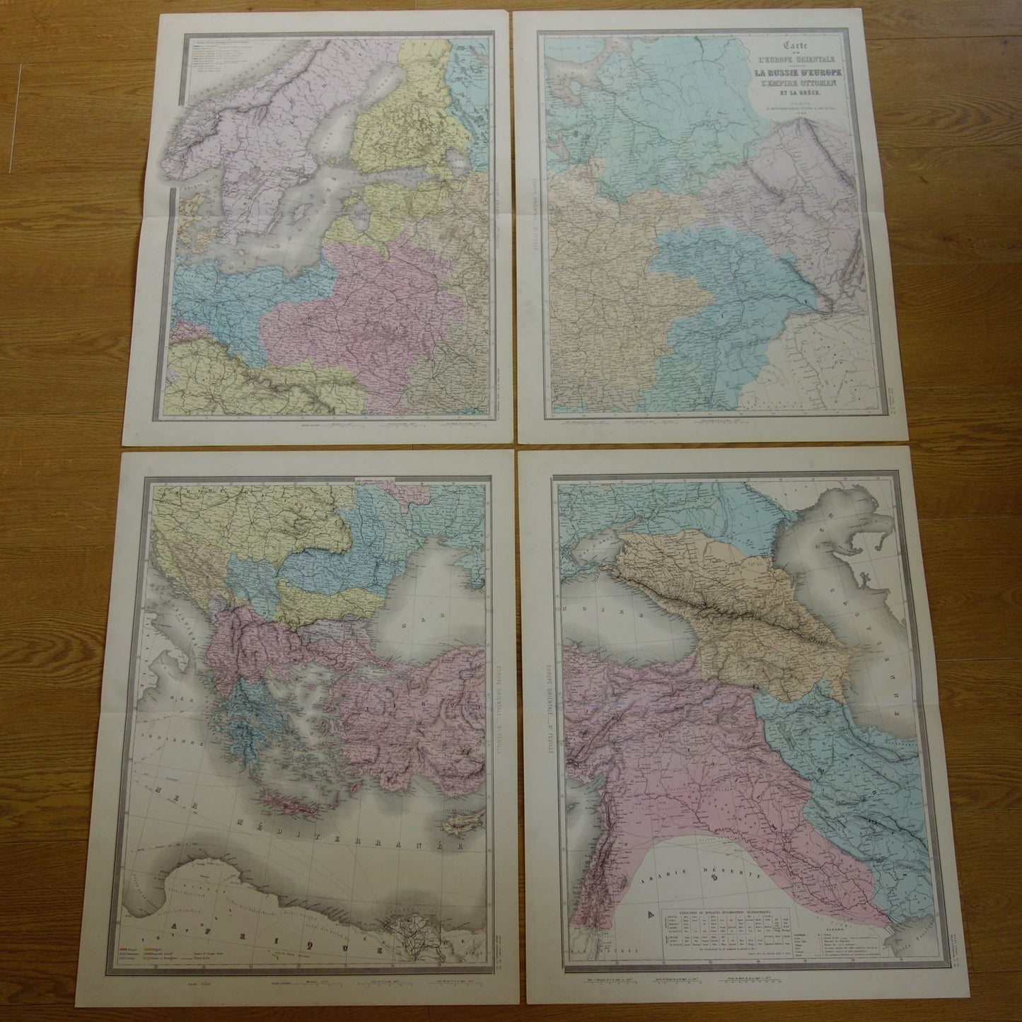
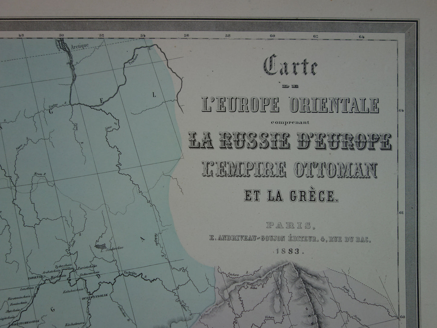
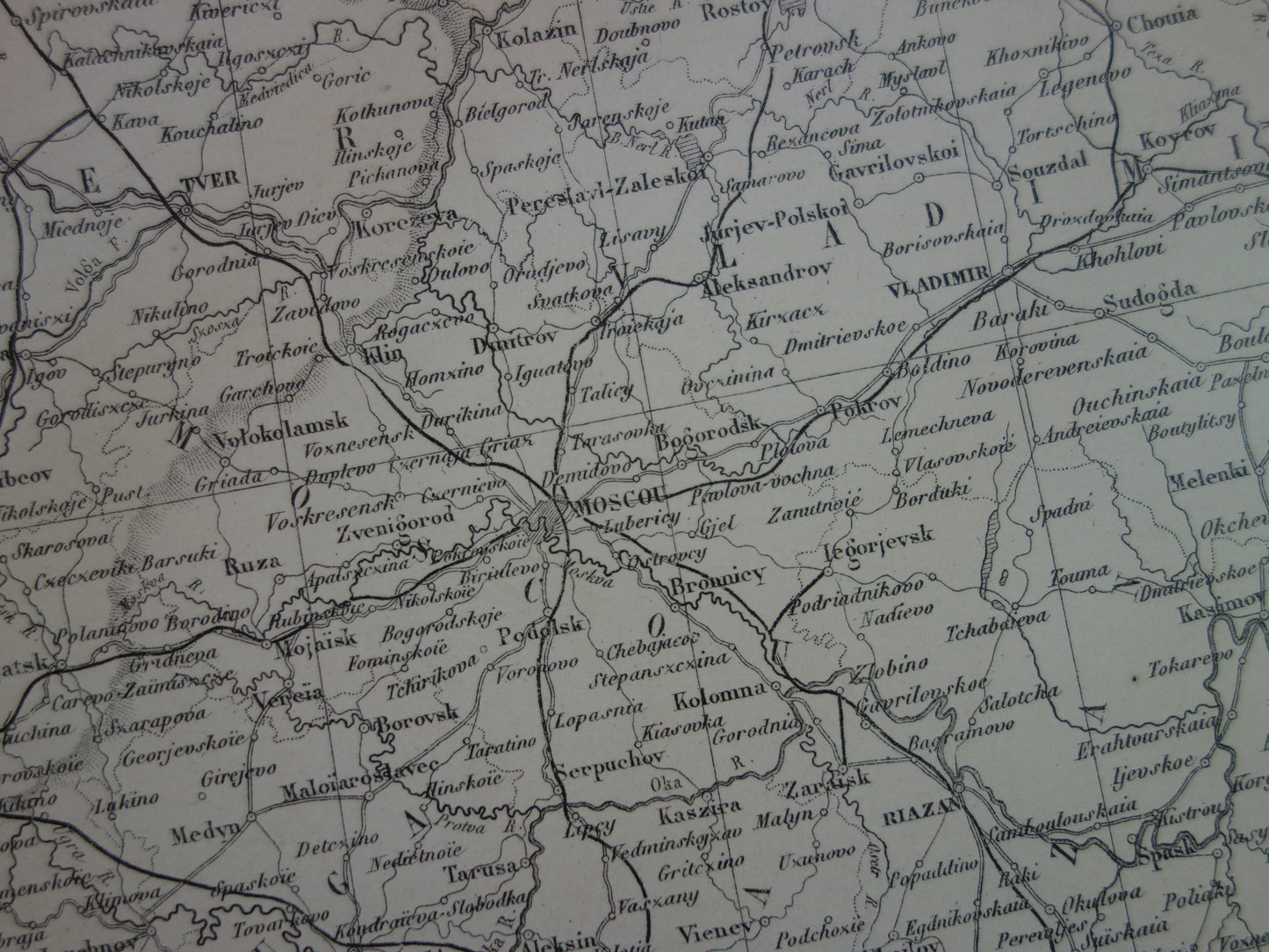
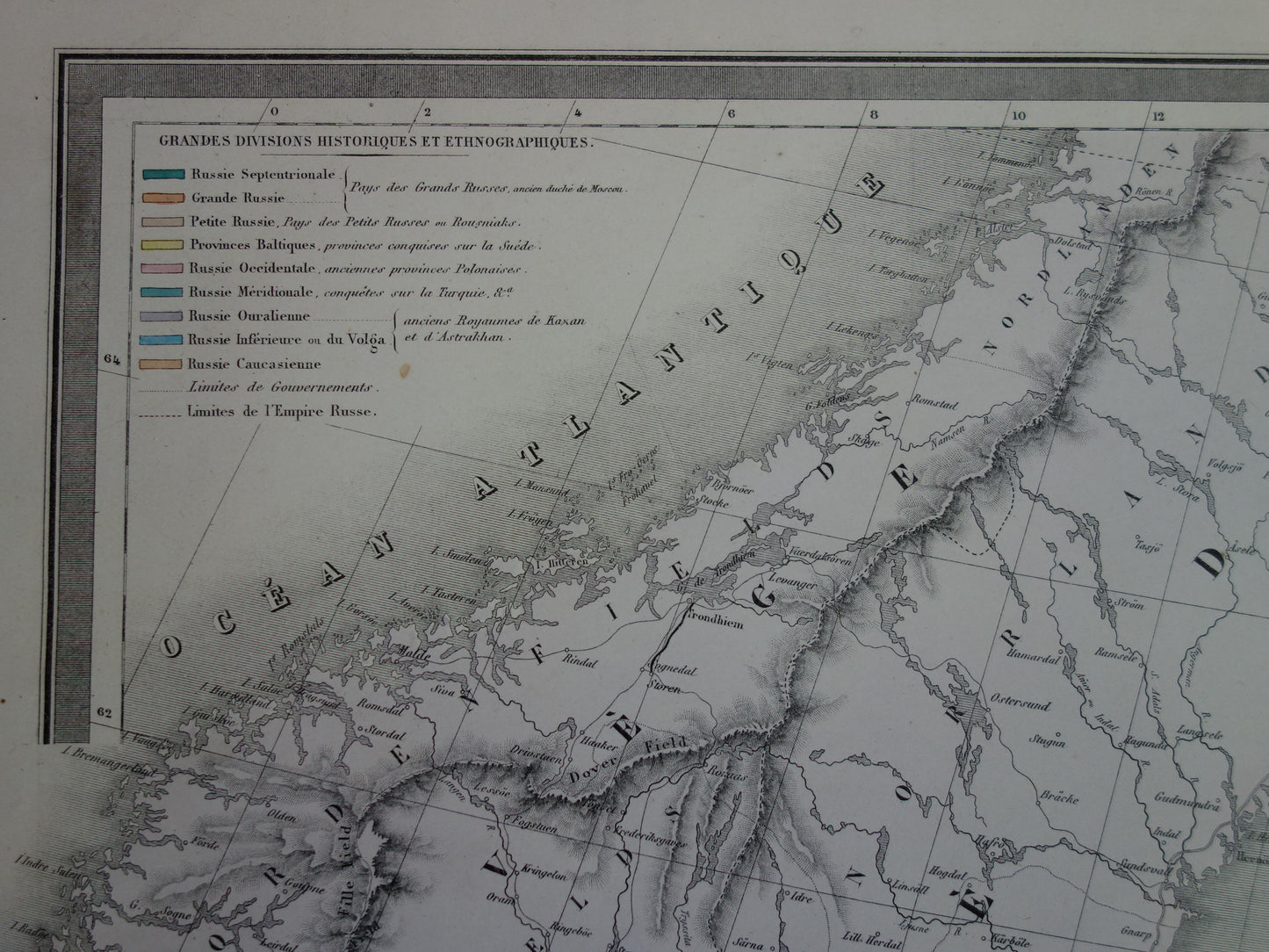
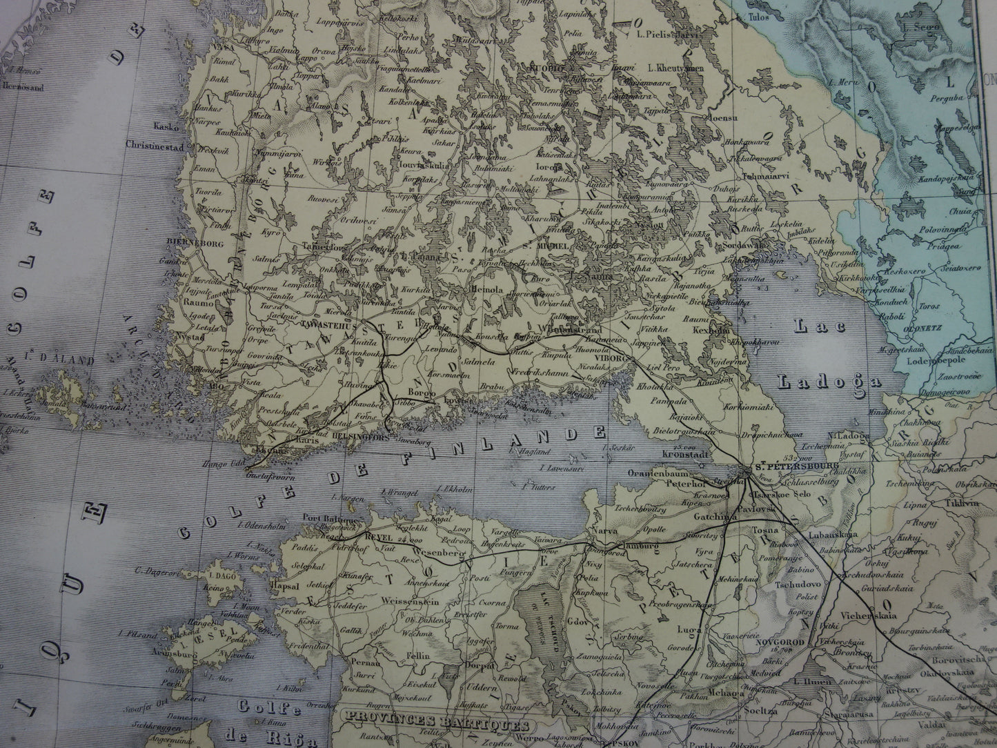
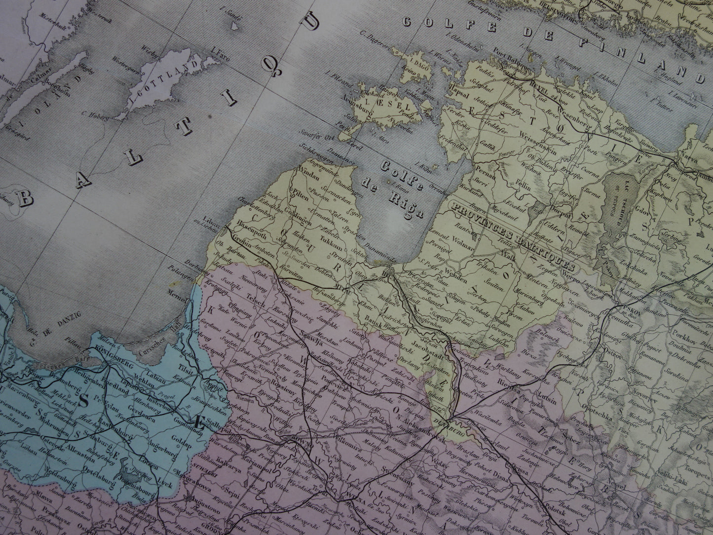
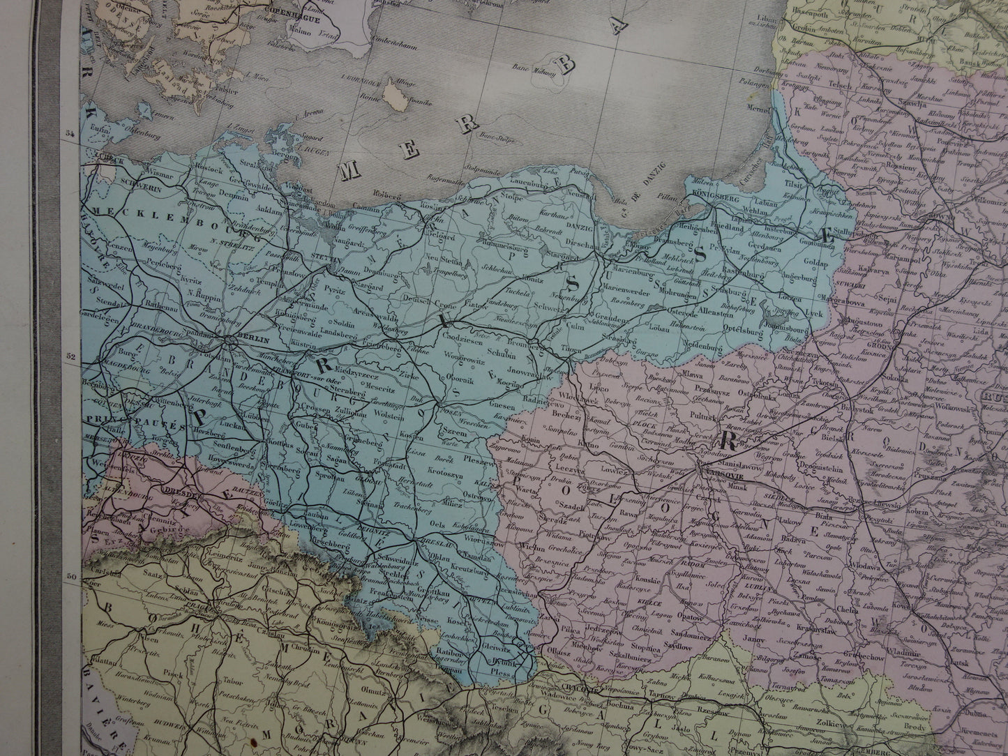
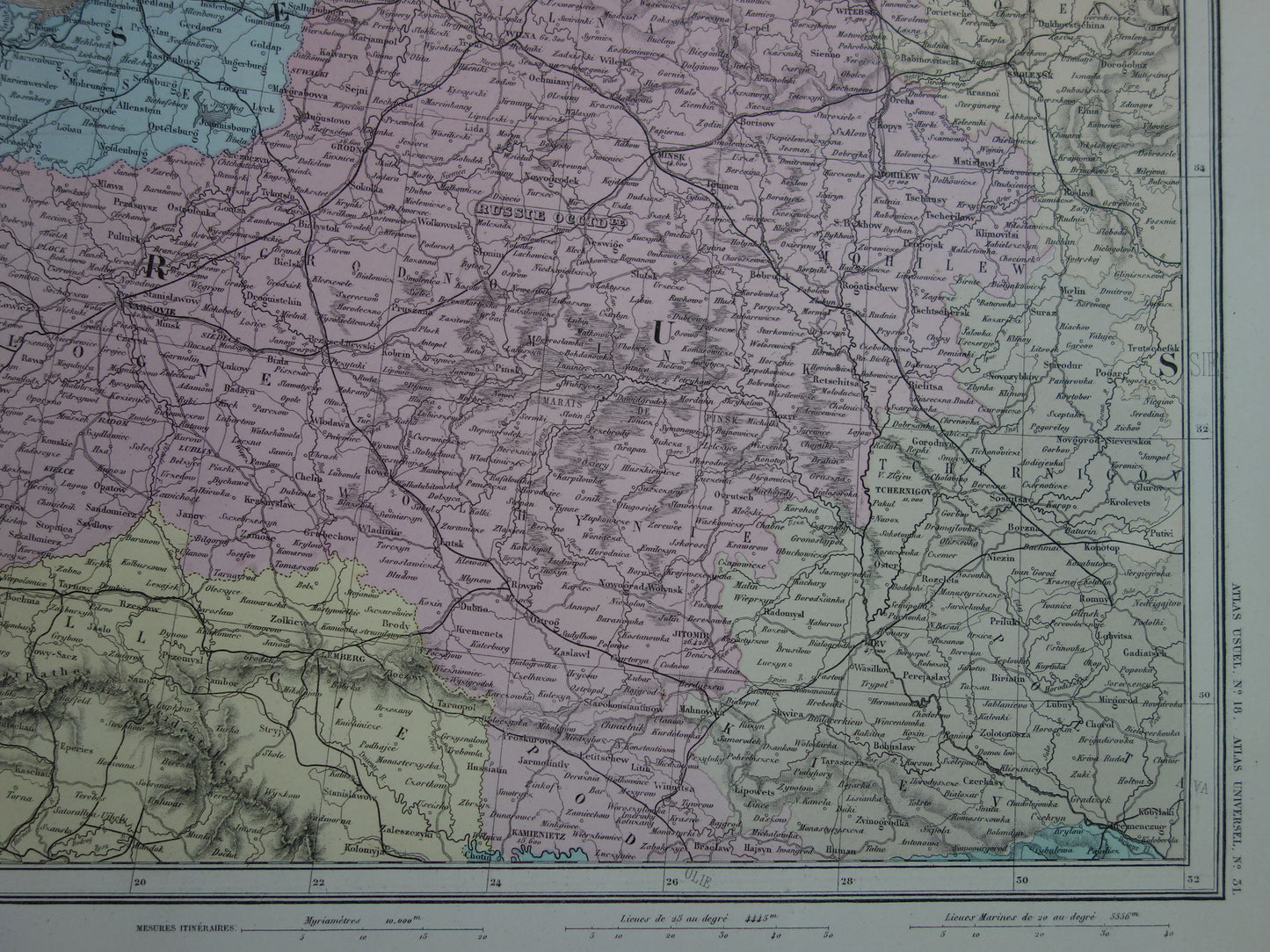
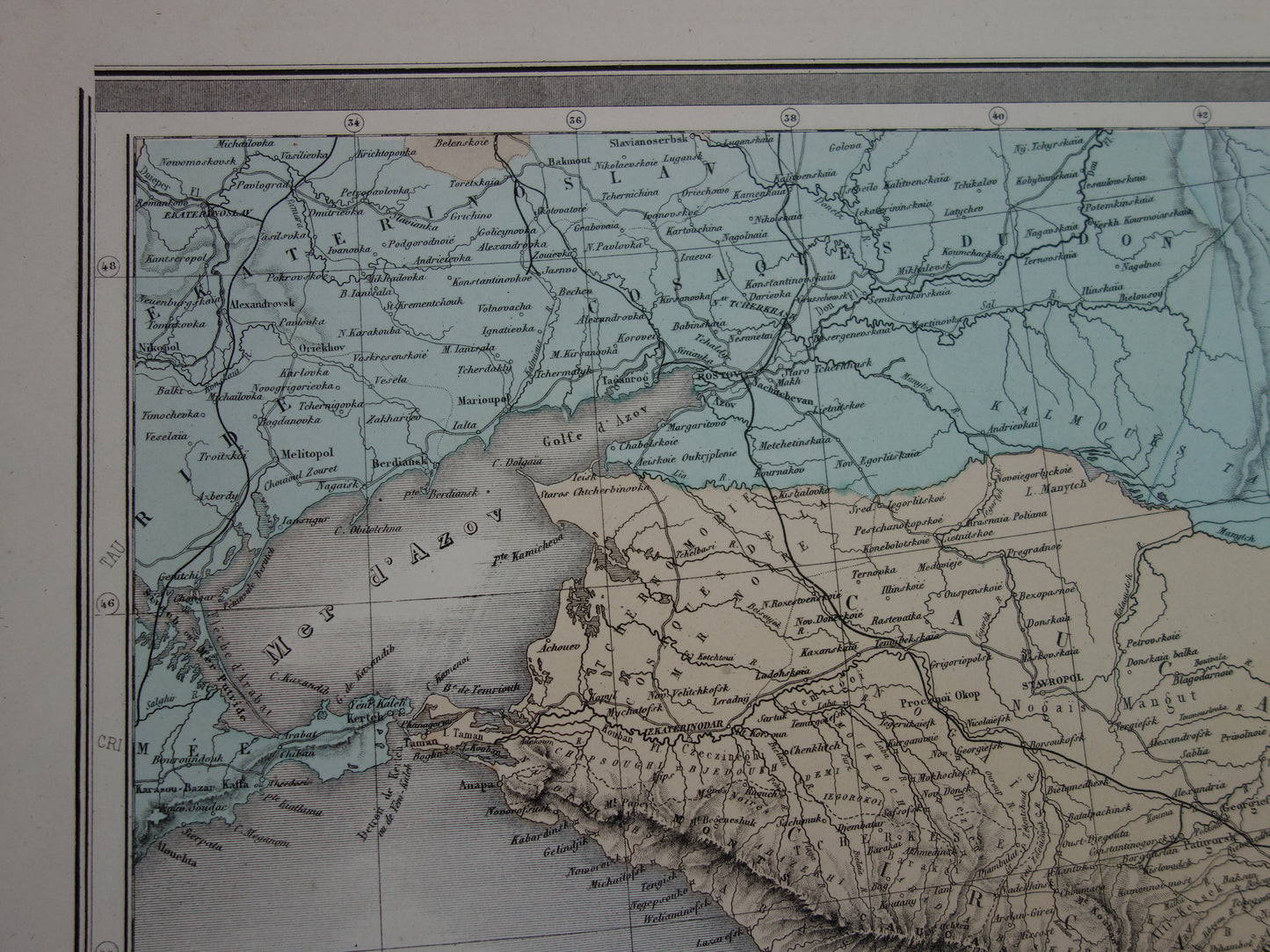
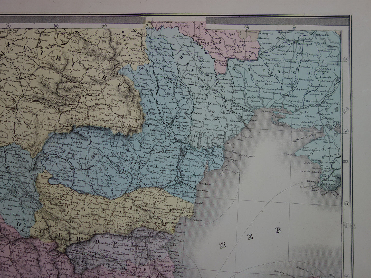
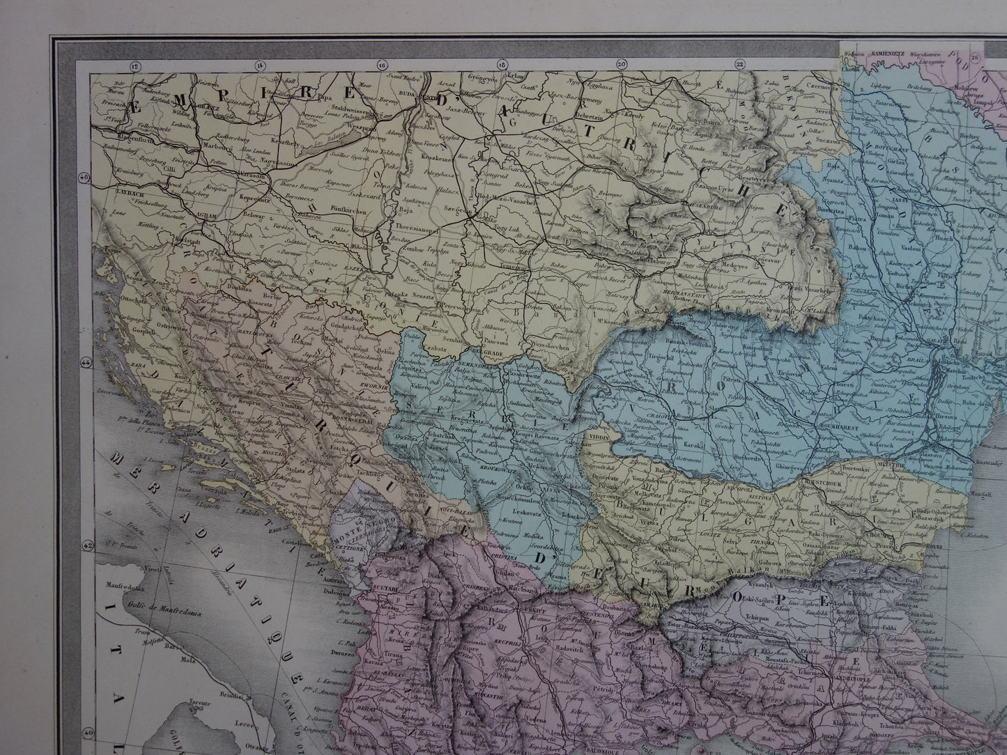
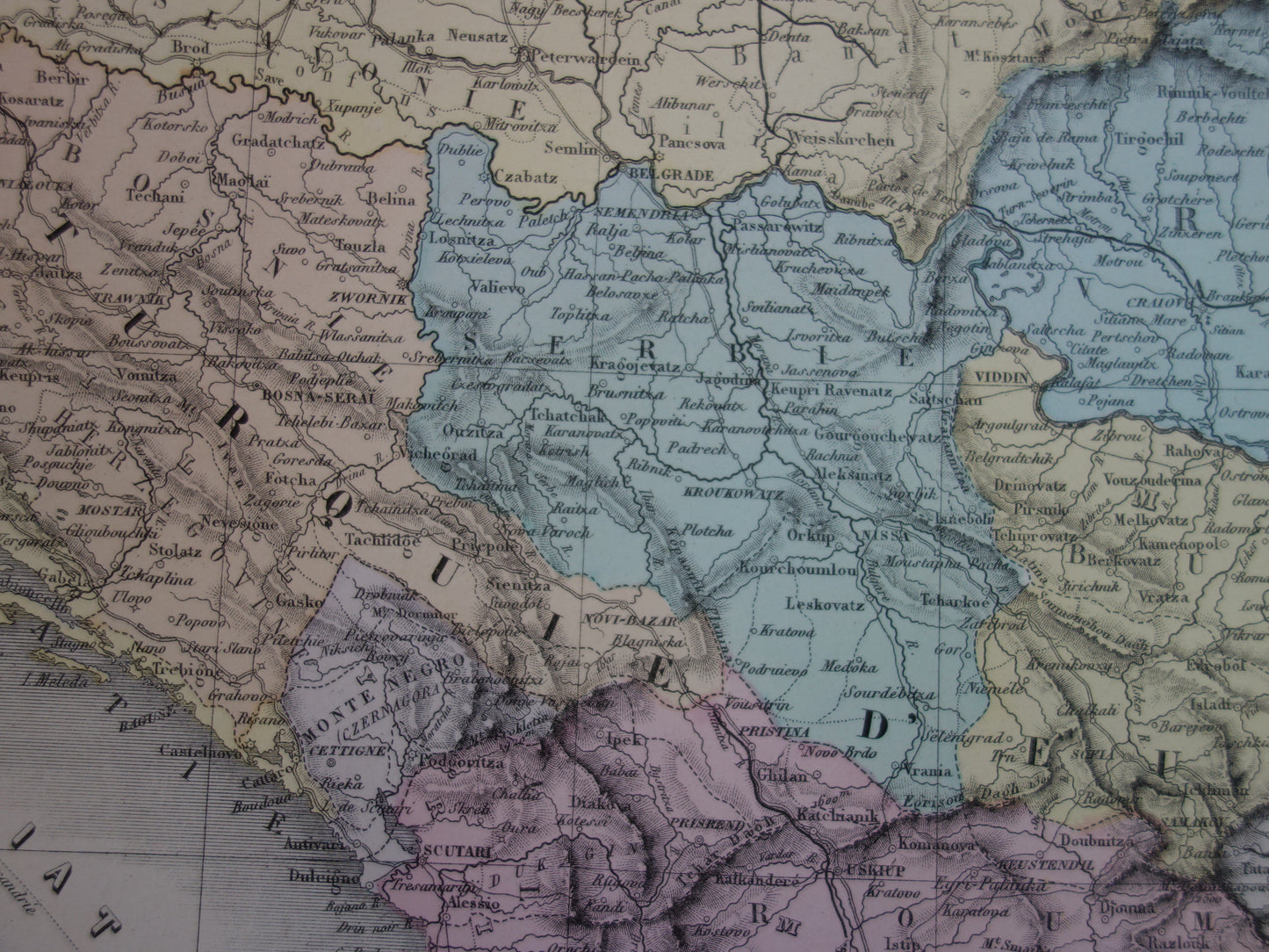
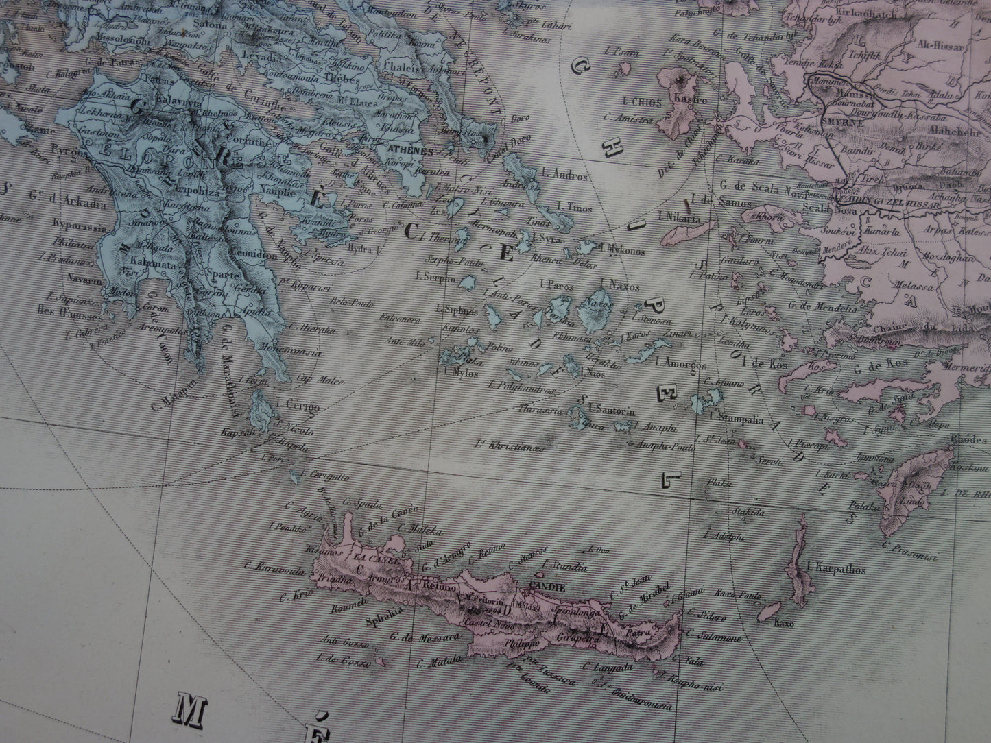
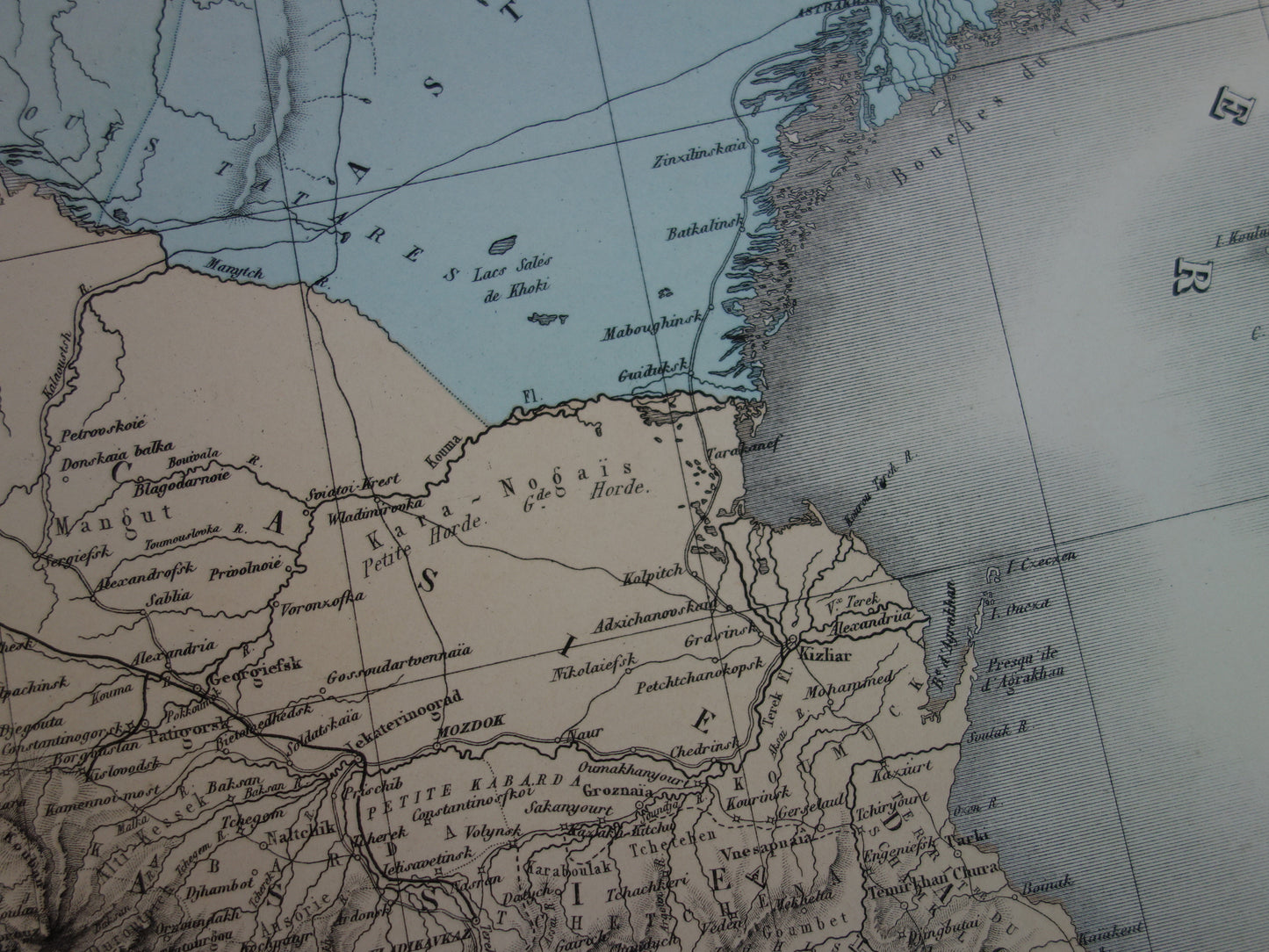
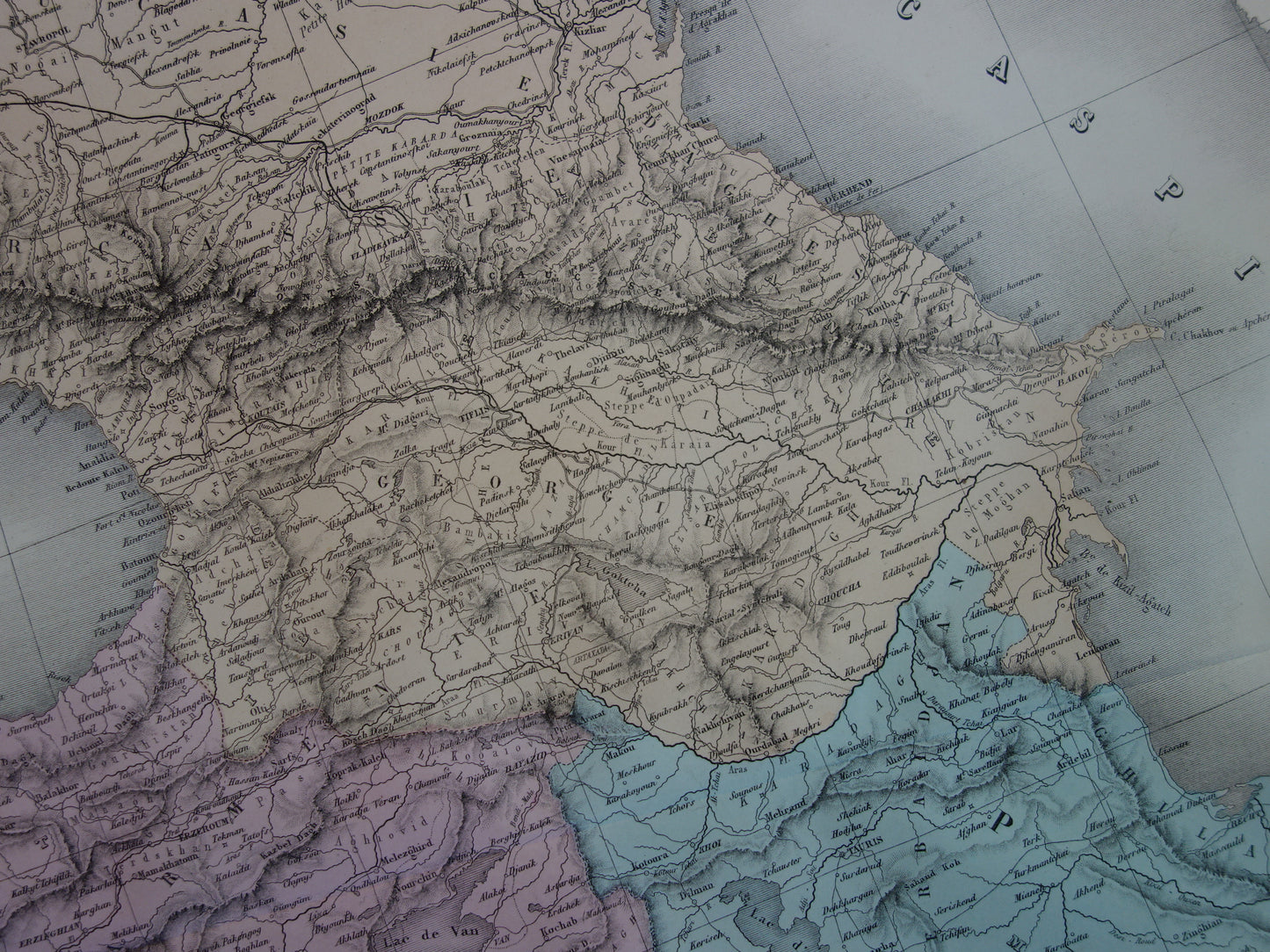
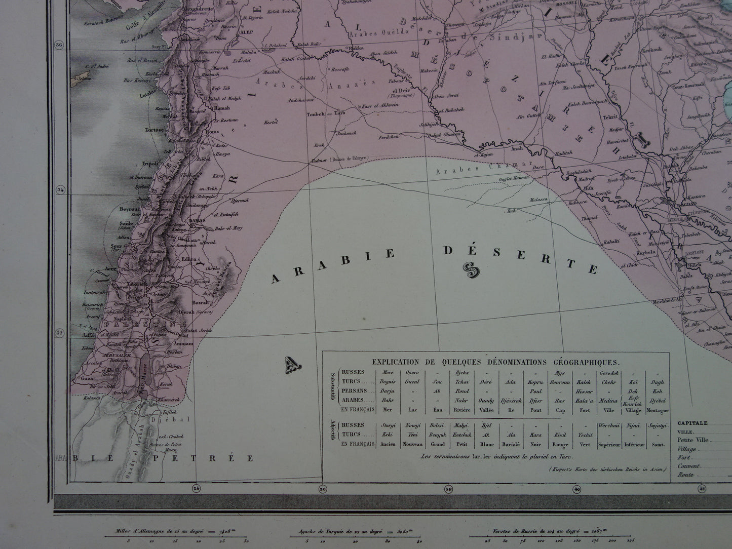
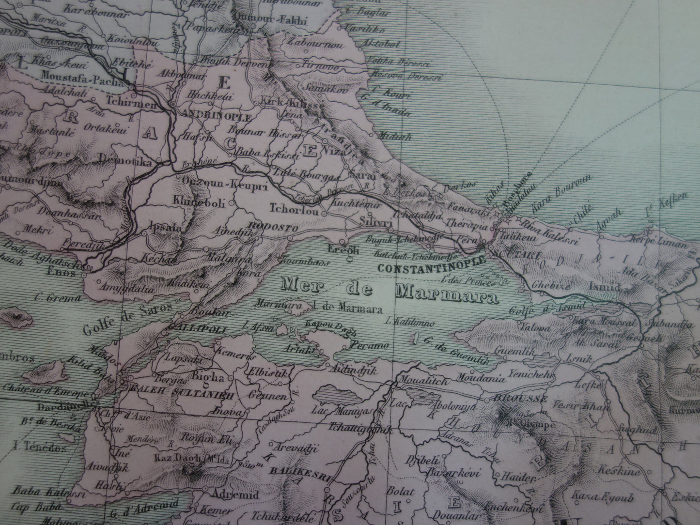
A beautiful antique French map of Central and Eastern Europe from 1883. The map is highly detailed. Zoom in on the photos to see all the details. The map consists of four sheets, which combined create a very large antique map. The year 1883 is mentioned in the map's title.
Dimensions: Each sheet measures 53 x 70 cm. Combined, this is 106 x 140 cm. If the sheets are all framed separately, the size becomes even larger.
Condition: The map is in very good condition. Only a few minor signs of age and a few small dog-ears. All pages have a horizontal center fold, as issued.
Origin:Atlas Usuel Geographie Moderne - Andriveau-Goujon
We sell only original antique and vintage maps. We guarantee that your purchase was made on or around the date stated in the description.
Fast shipping
We will ship your order the next business day at the latest. Free shipping within the Netherlands when purchasing 2 cards. Click here for more information
"Beautiful card, exactly as described. Fast shipping and the card was packaged perfectly. Great transaction, thank you very much!"
ANNE ESCHER
Choosing a selection results in a full page refresh.