Oudekaarten.com
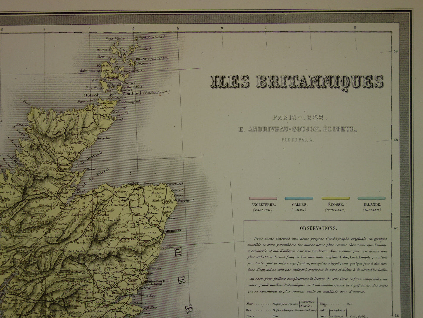
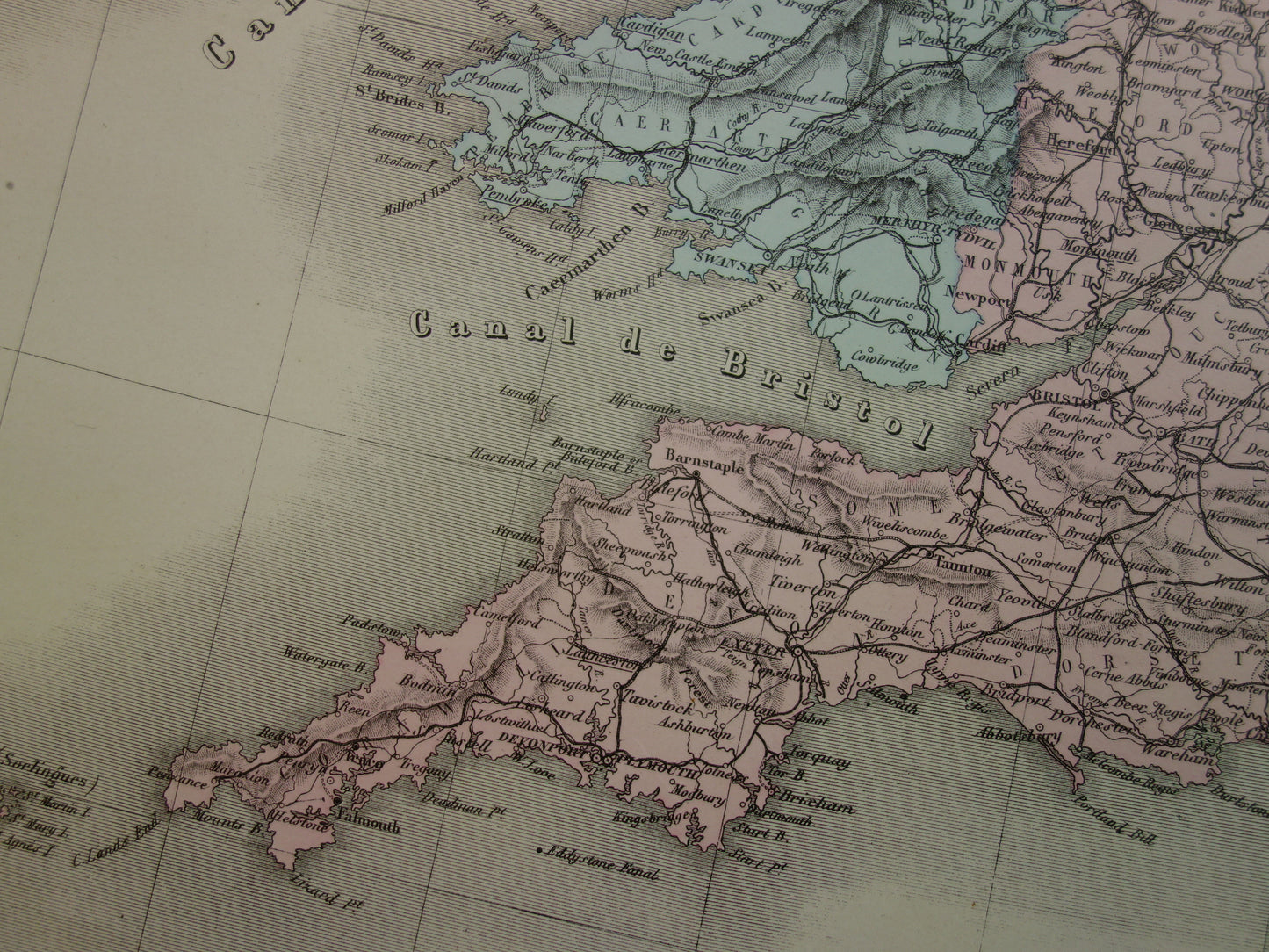
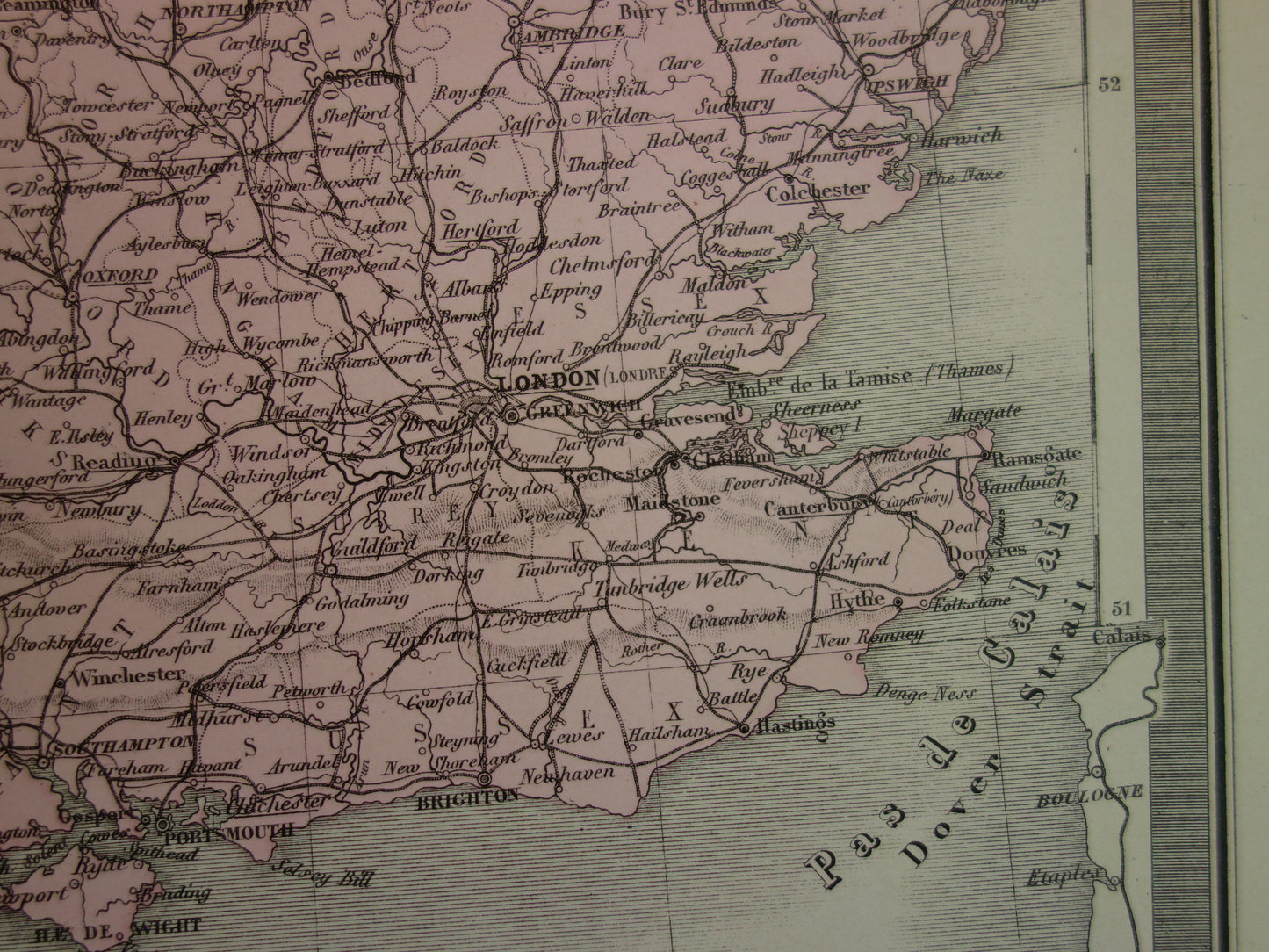
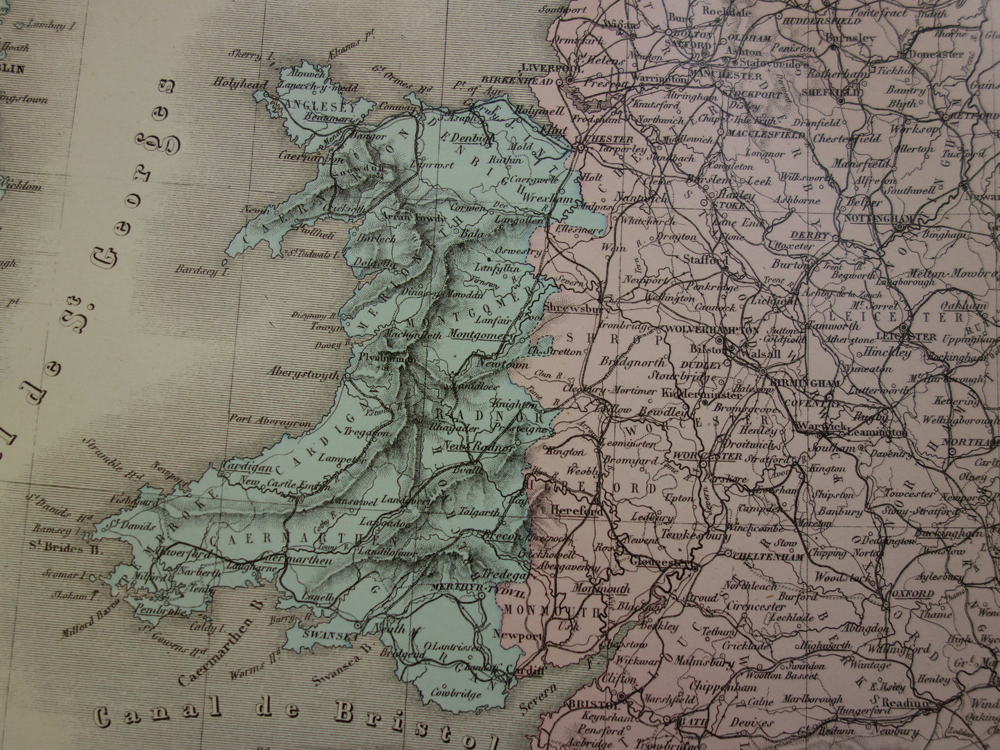
Large antique map of GREAT BRITAIN and IRELAND 130+ year old French map vintage poster with year/date
Couldn't load pickup availability
Deel
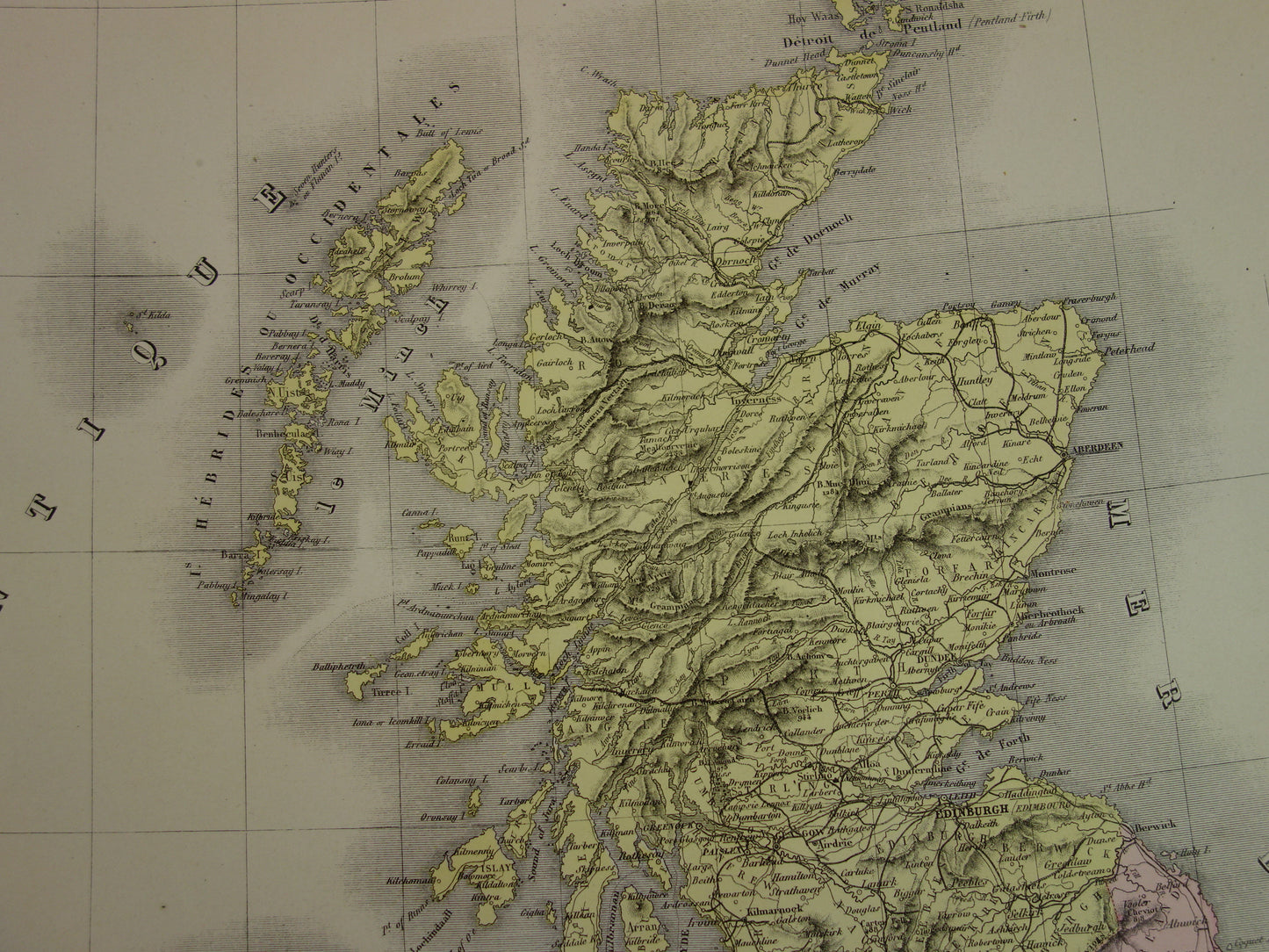
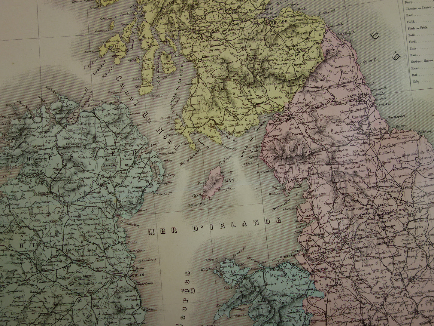
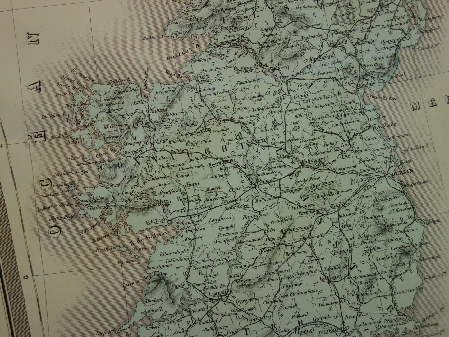
For sale is a large antique French map of Great Britain and Ireland from 1883. The map is very detailed and also shows railways and main roads from that period. In the upper left corner is a map of the Shetland Islands. The year 1883 is printed in the title. The map has wide margins and is very suitable for framing.
Dimensions: 53 x 70 cm
Condition: good/very good. Paper is slightly browned in a few spots due to age, otherwise in very good condition. The map has a center fold, as issued.
Origin: Atlas Usuel Geographie Moderne - Andriveau-Goujon - Edition of 1883
-
Guaranteed original
We sell only original antique and vintage maps. We guarantee that your purchase was made on or around the date stated in the description.
-
Delayed dispatch
We are on vacation and will ship your order on August 18th. Free shipping within the Netherlands when purchasing 2 cards. Click here for more info
"Beautiful card, exactly as described. Fast shipping and the card was packaged perfectly. Great transaction, thank you very much!"
ANNE ESCHER