1
/
of
9
Oudekaarten.com
Great Britain and Ireland Old French map from 1858 of the British Isles, United Kingdom, Wales, England Original antique map
Regular price
€23,50
Regular price
Sale price
€23,50
Unit price
/
per
Shipping calculated at checkout.
Couldn't load pickup availability
Share
For sale is an old French map of the British Isles. The map is hand-colored. It has lovely wide margins all around and is very suitable for framing.
Dimensions: 27.5 x 36.5 cm
Condition: Good overall condition. Map has a centerfold, as issued.
Origin: Geographie Universelle - Malte-Brun / Dufour - Edition of 1858

-
Guaranteed original
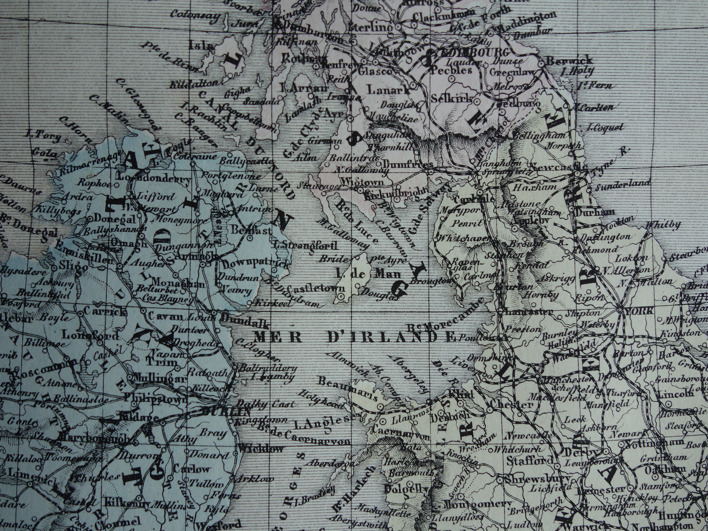
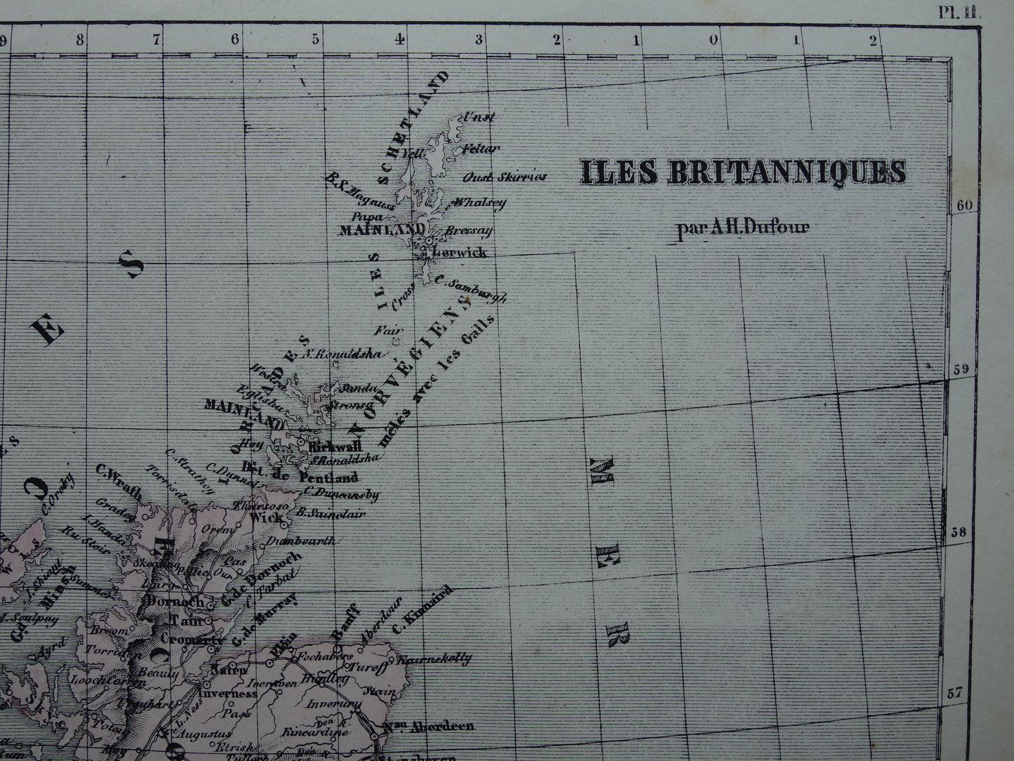
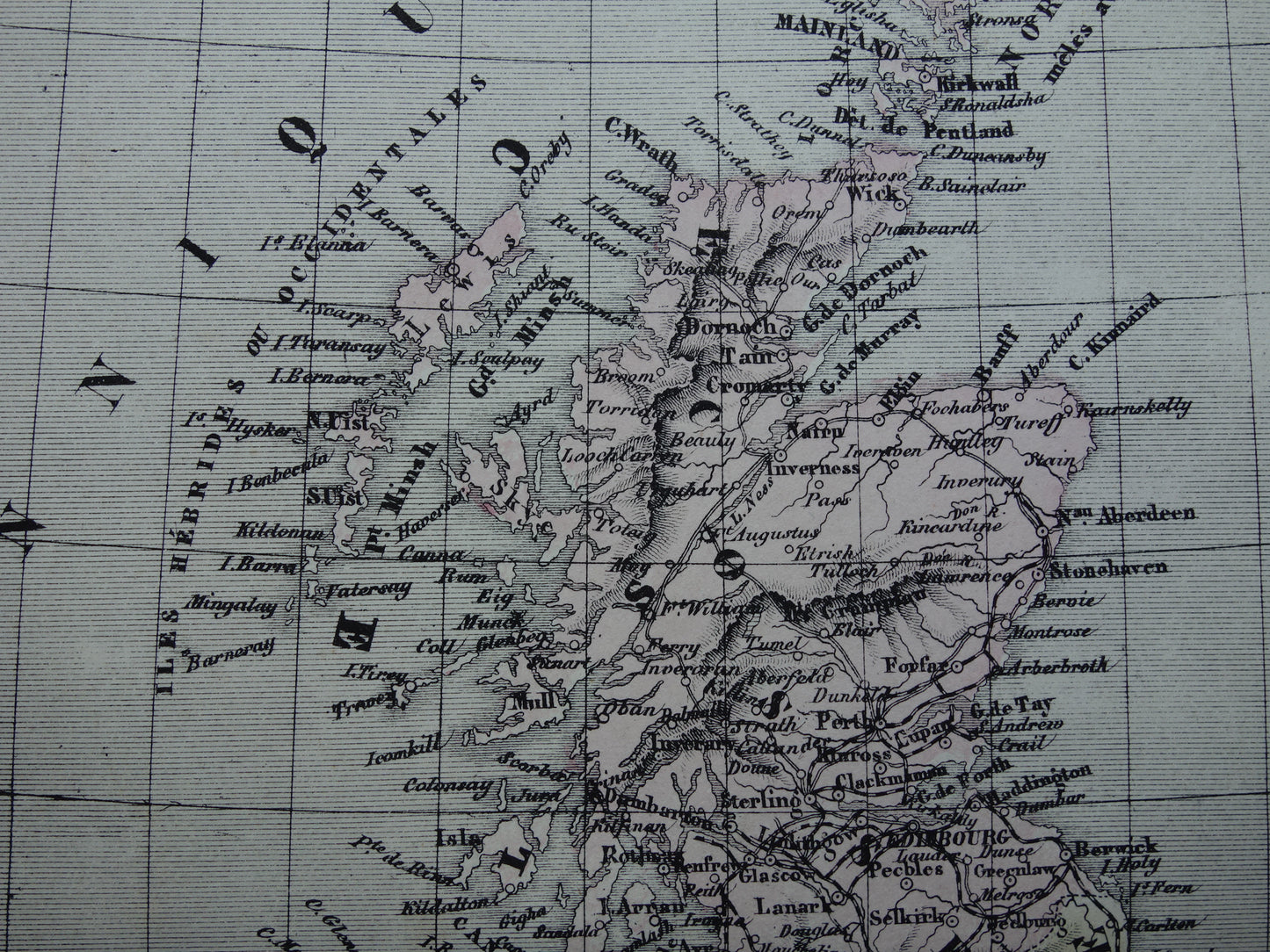
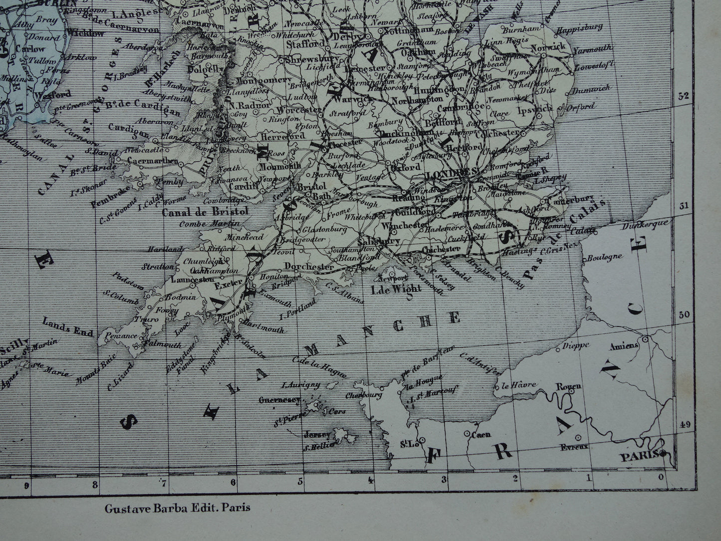
We sell only original antique and vintage maps. We guarantee that your purchase was made on or around the date stated in the description.
-
Fast shipping
We will ship your order the next business day at the latest. Free shipping within the Netherlands when purchasing 2 cards. Click here for more information
"Beautiful card, exactly as described. Fast shipping and the card was packaged perfectly. Great transaction, thank you very much!"
ANNE ESCHER