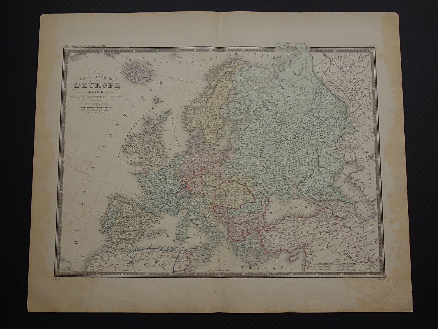
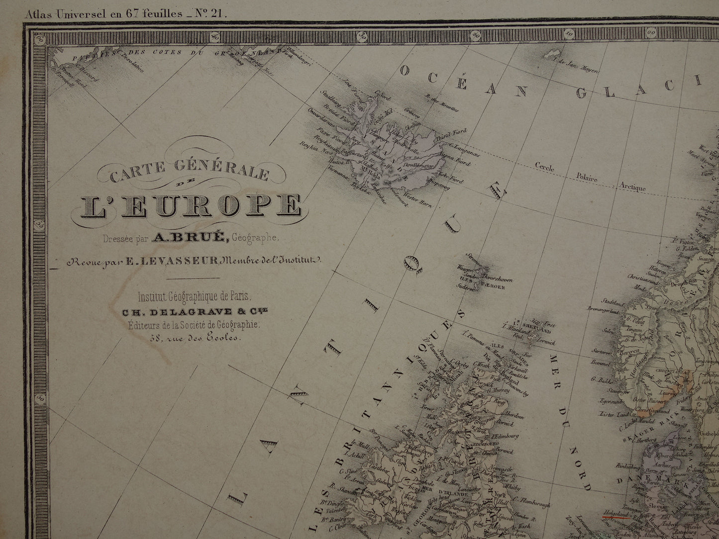
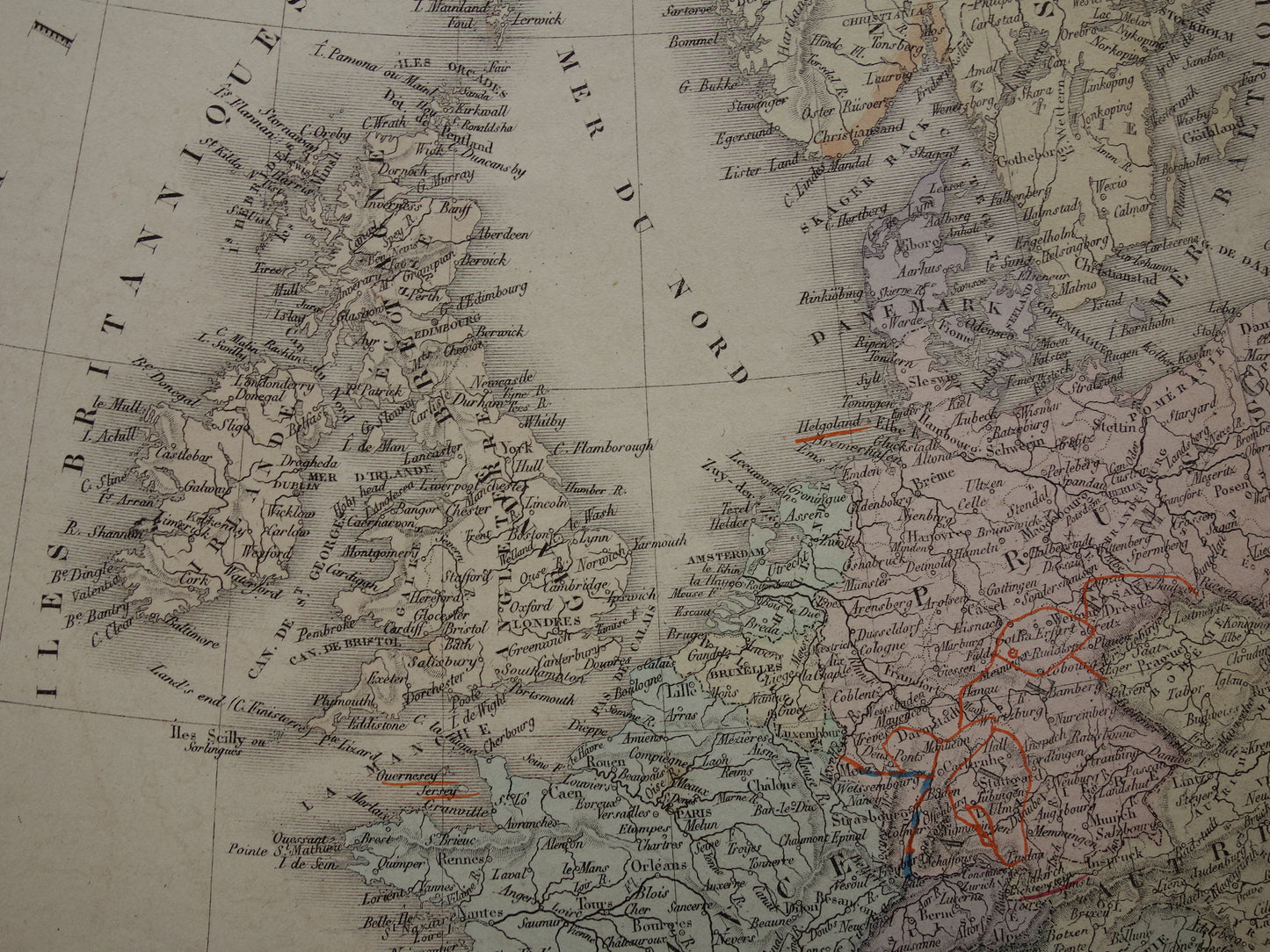
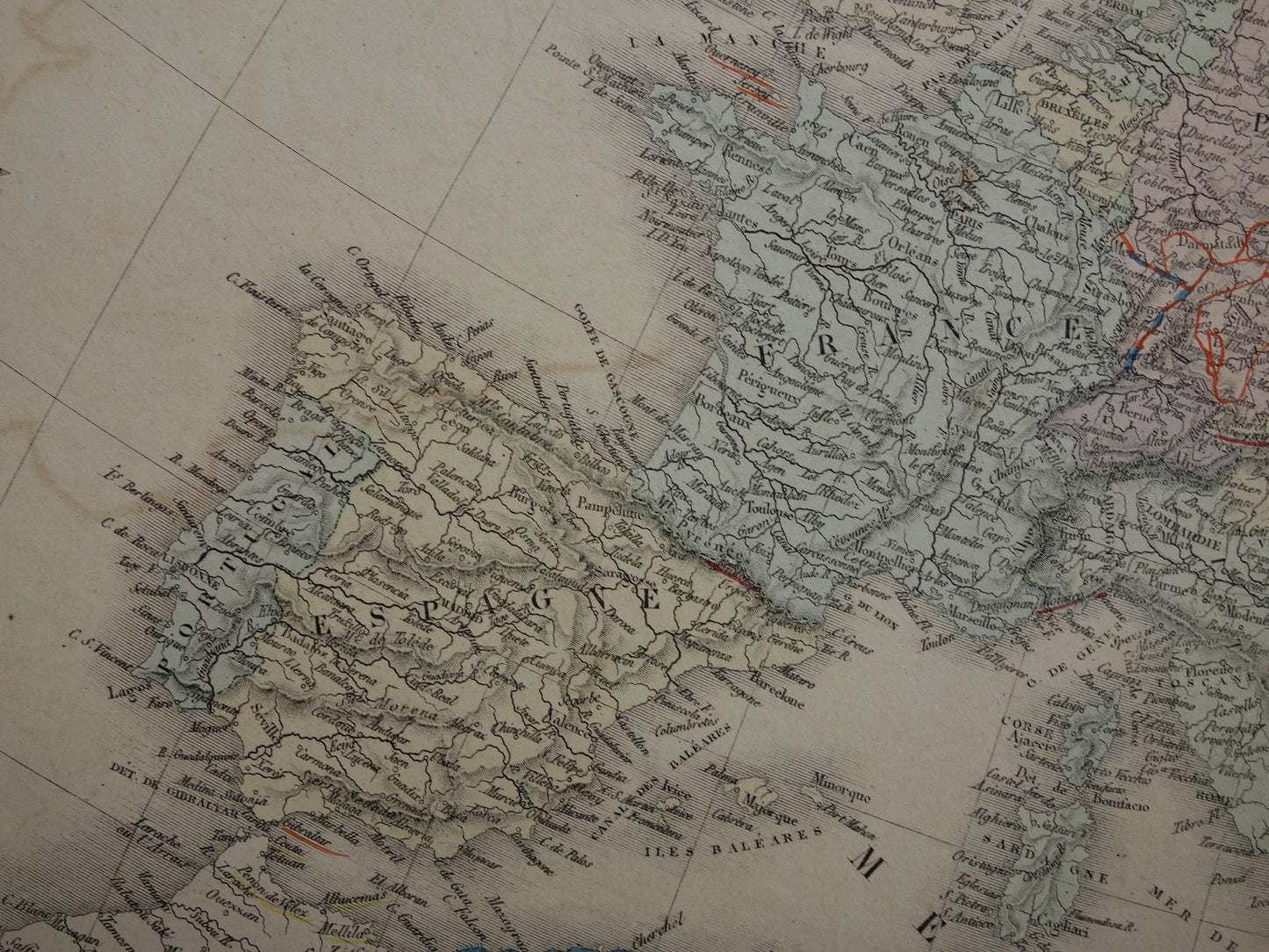
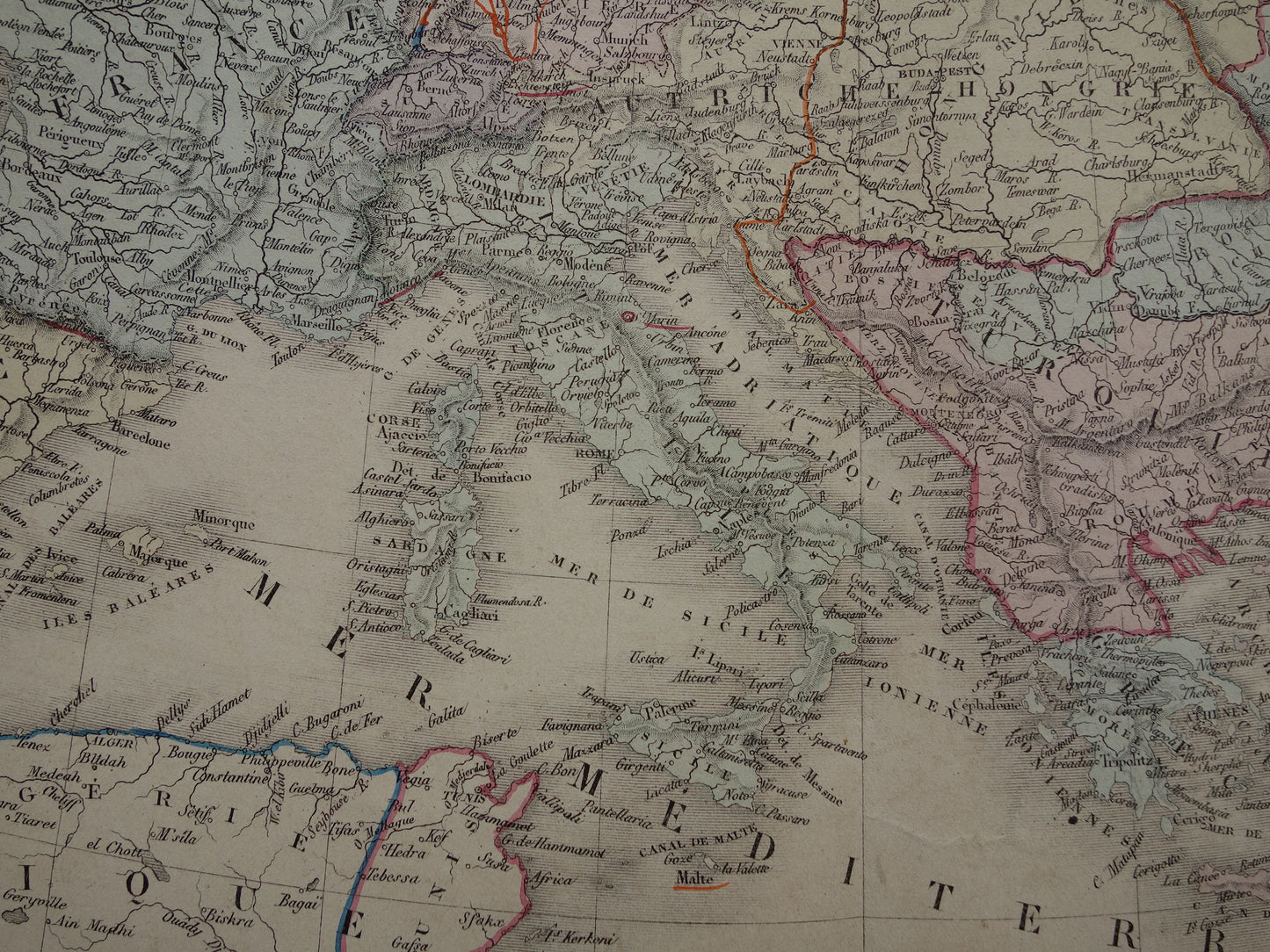
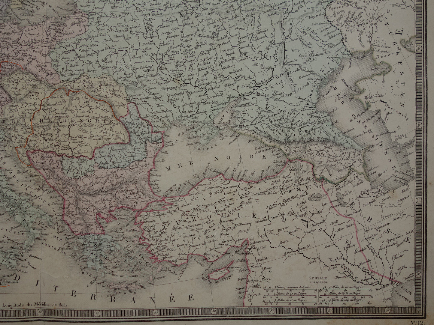
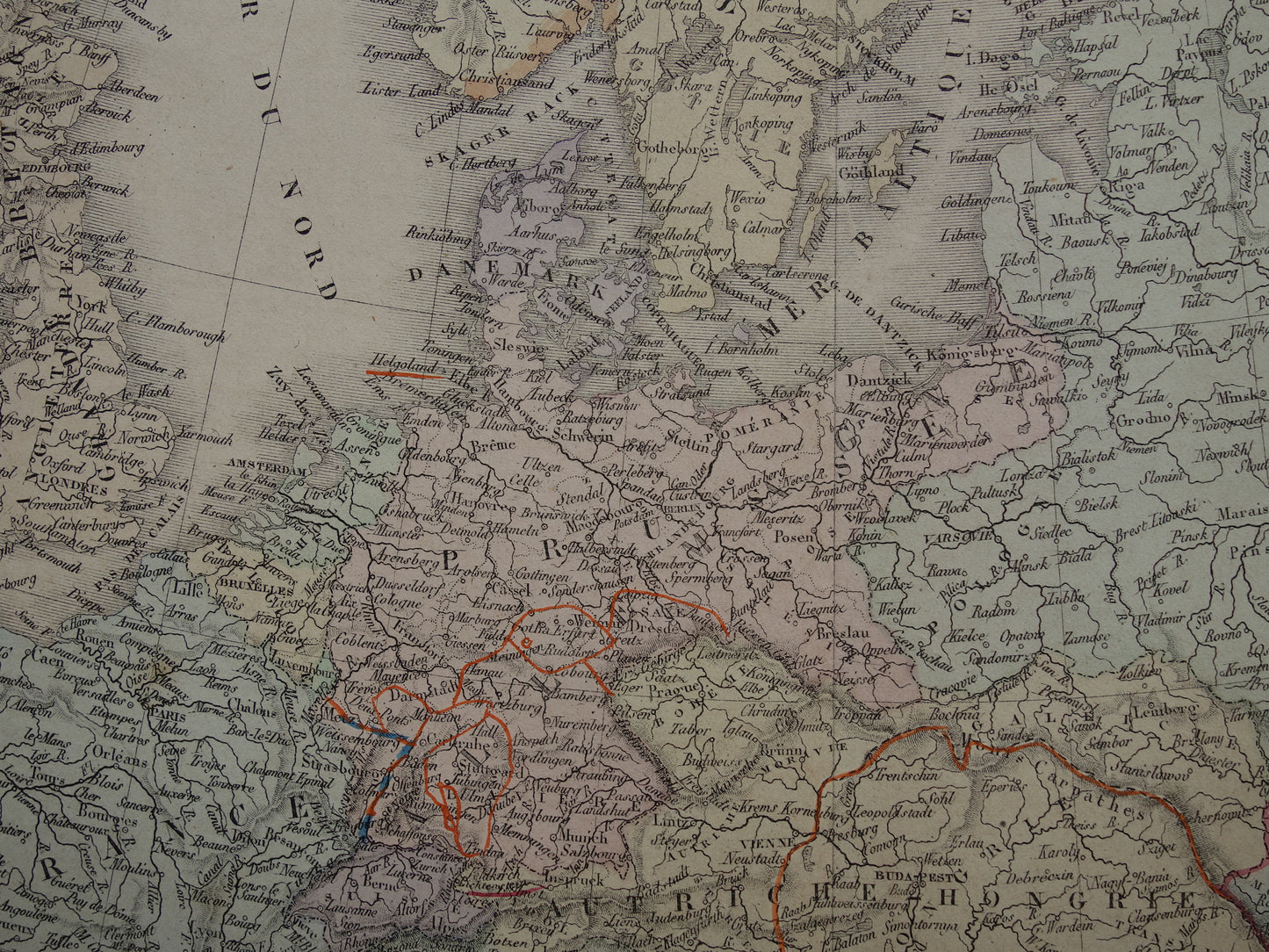
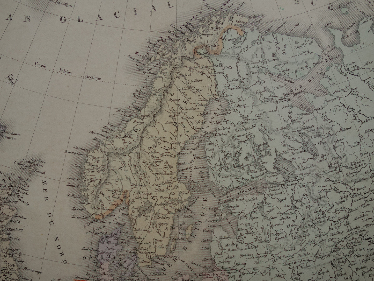
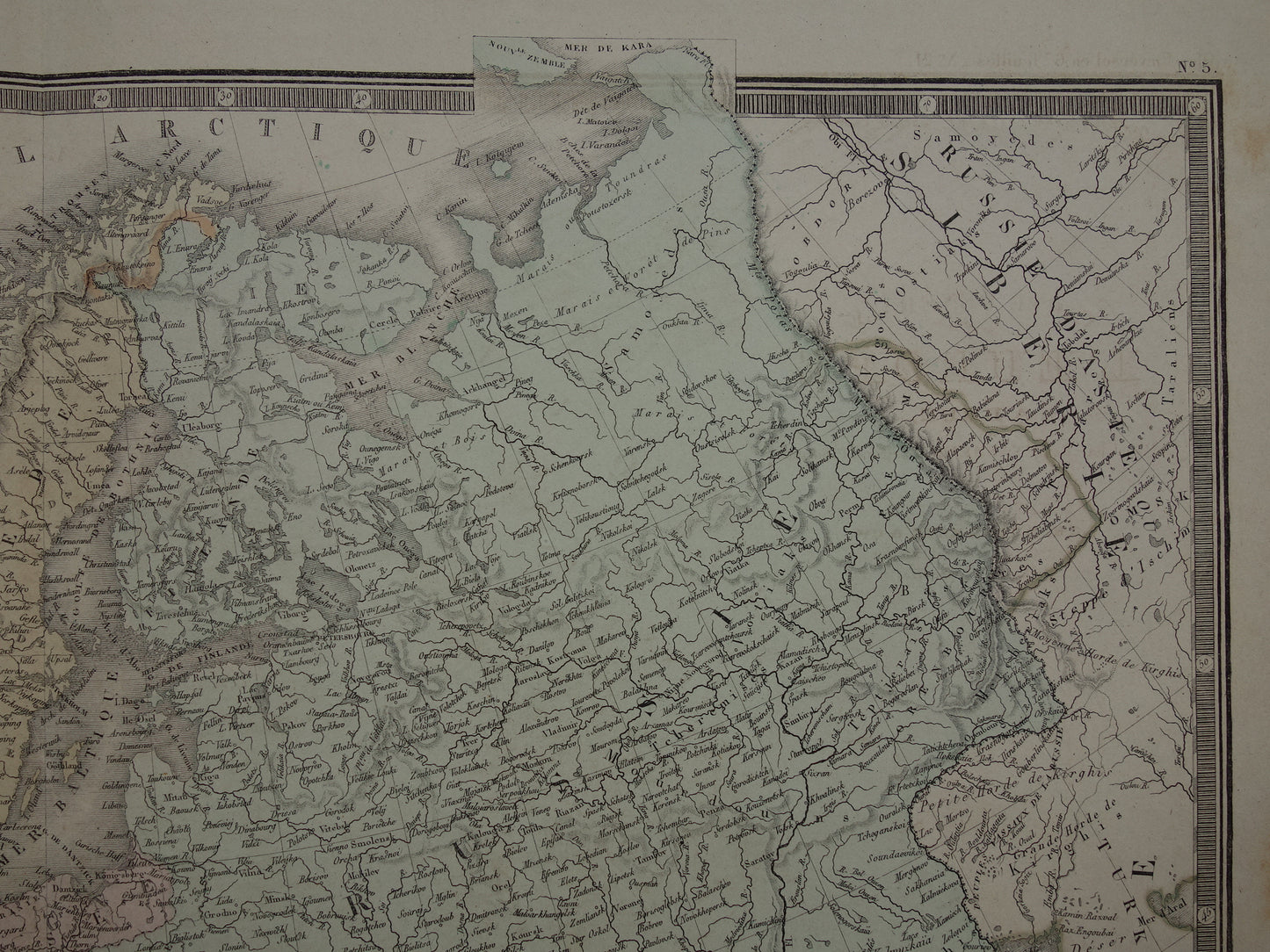
For sale is a large old map of Europe from the year 1876. A nice detail is the red dotted line that indicates which area France lost in the Franco-German war of 1870. The map is a hand-colored engraving. Nice wide margins and very suitable for framing.
Dimensions: 48 x 59 cm
Condition: Brown age spots in the right and left margins. Tiny little hole in the bottom margin, just next to the centerfold. On white areas some offsetting is vaguely visible (offsetting means that the paint from one part of the map transfers to another part of the map, because the map is folded in the atlas).
Origin: 'Atlas Universel De Geographie Physique, Politique, Ancienne Et Moderne' - A. Brué - Edition of 1876
ORIGINAL ANTIQUE MAP Oudekaarten.com only sells original old maps, we do not sell modern reprints.
ORDER WITHOUT RISK At Oudekaarten.com you always order without risk. Are you not completely satisfied with your purchase? You can return your purchase free of charge and get your full purchase price back.
FAST SHIPPING This card will be shipped within 1 business day.
We sell only original antique and vintage maps. We guarantee that your purchase was made on or around the date stated in the description.
Fast shipping
We will ship your order the next business day at the latest. Free shipping within the Netherlands when purchasing 2 cards. Click here for more information
"Beautiful card, exactly as described. Fast shipping and the card was packaged perfectly. Great transaction, thank you very much!"
ANNE ESCHER
Choosing a selection results in a full page refresh.