Skip to product information
1 of 11

Oudekaarten.com

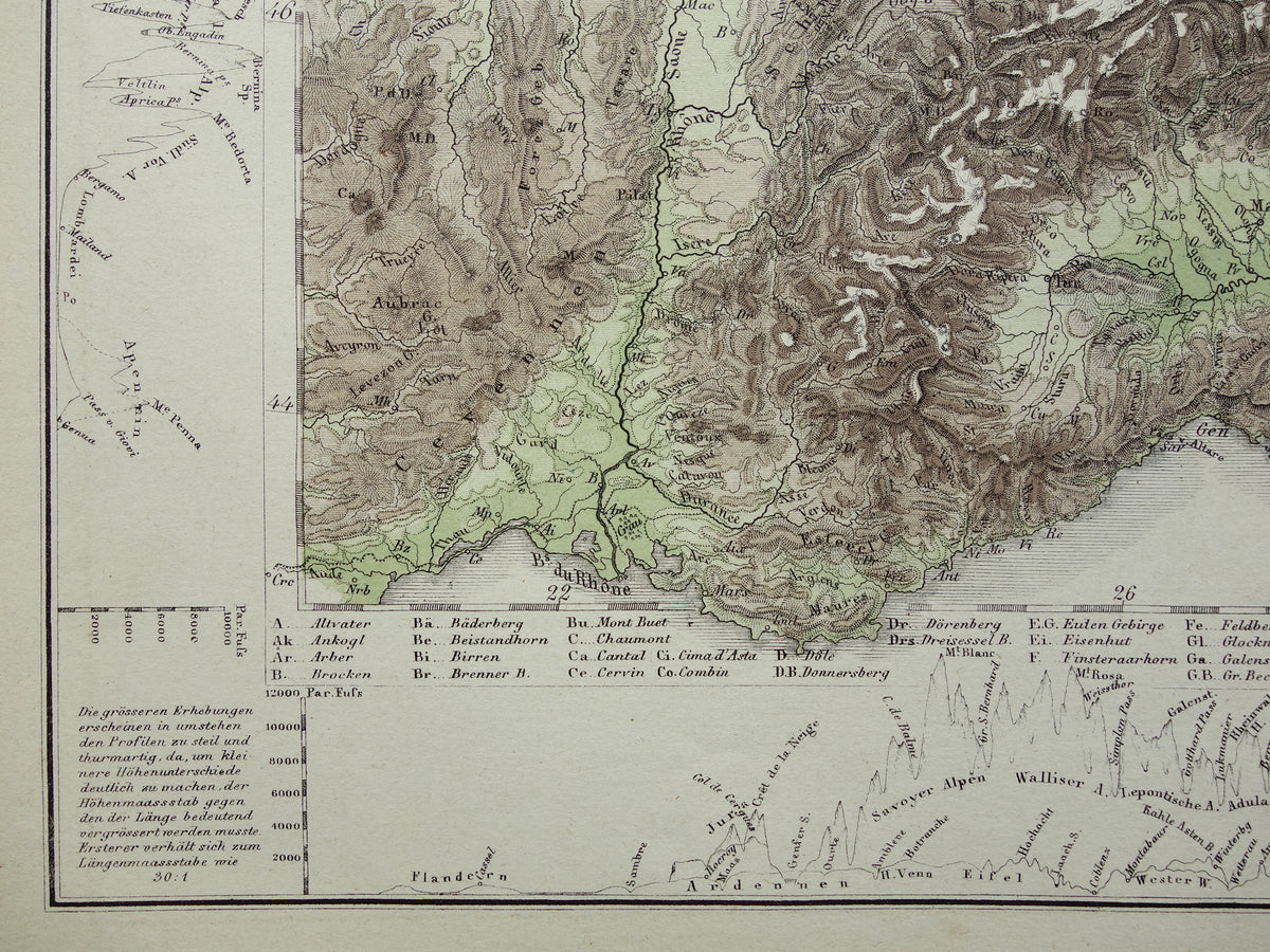
GERMANY old map of Central Europe and Germany in 1867 original antique elevation map Alps Mountains Rivers Geology with year for sale

GERMANY old map of Central Europe and Germany in 1867 original antique elevation map Alps Mountains Rivers Geology with year for sale

Regular price €30,00
Regular price Sale price €30,00
Sale Sold out
Shipping calculated at checkout.

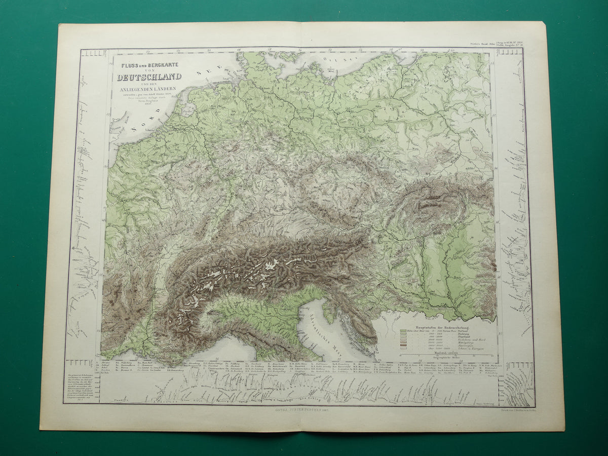
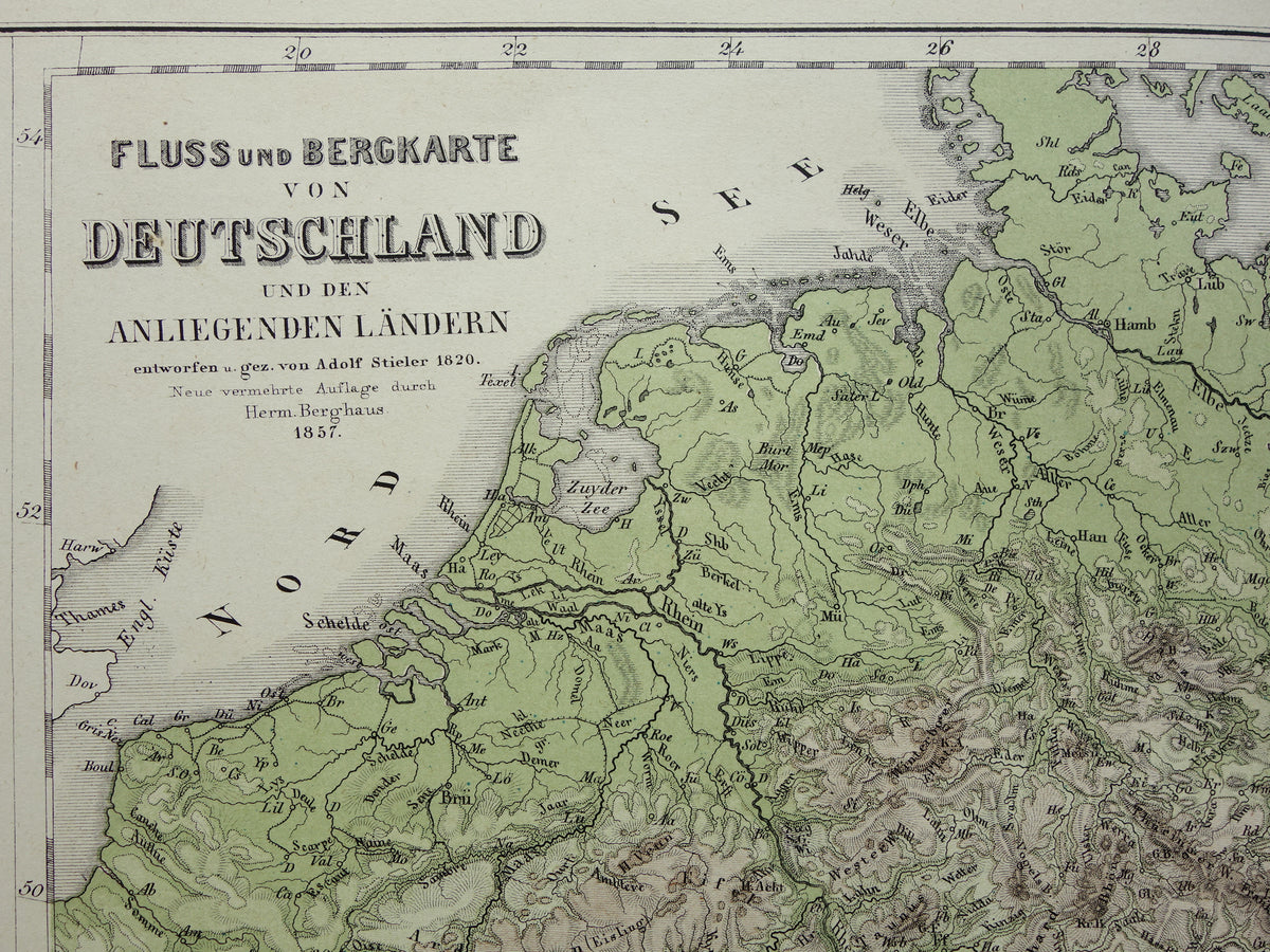
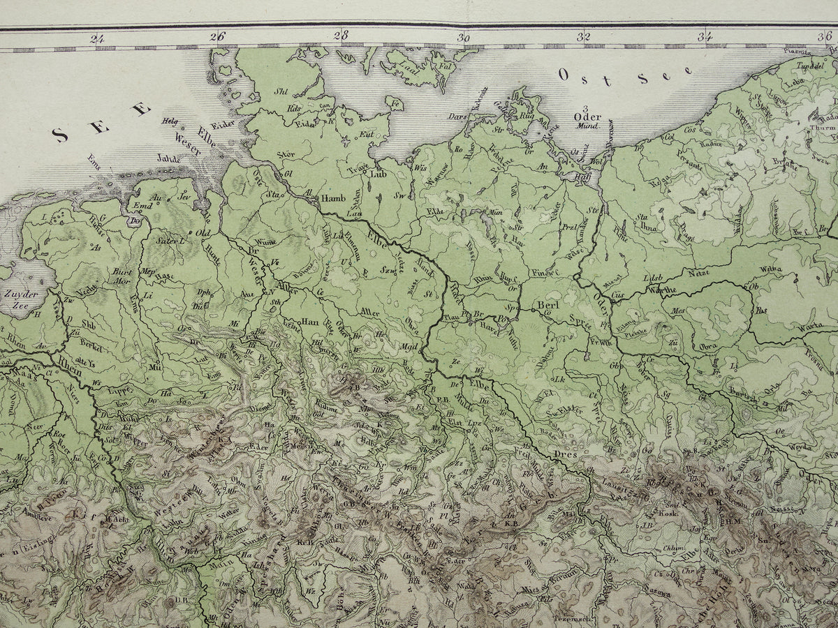
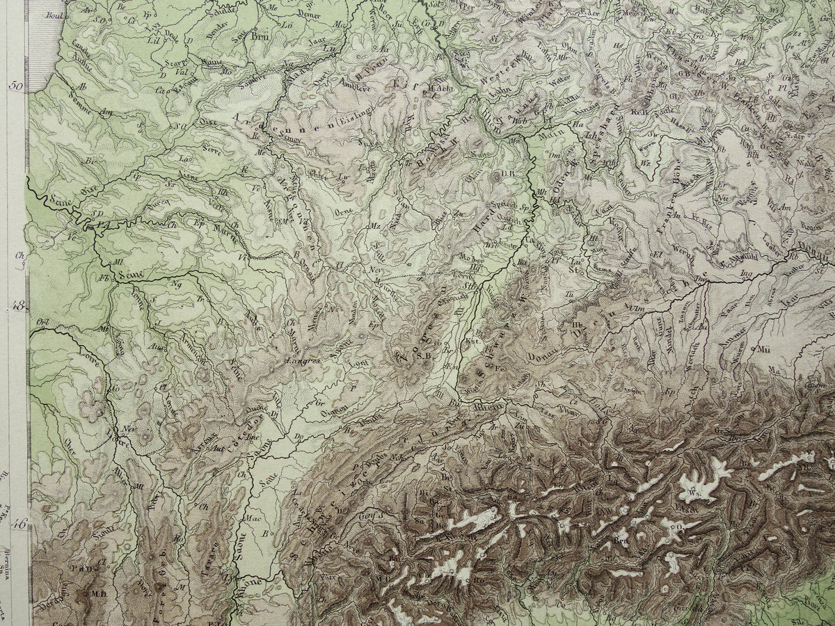
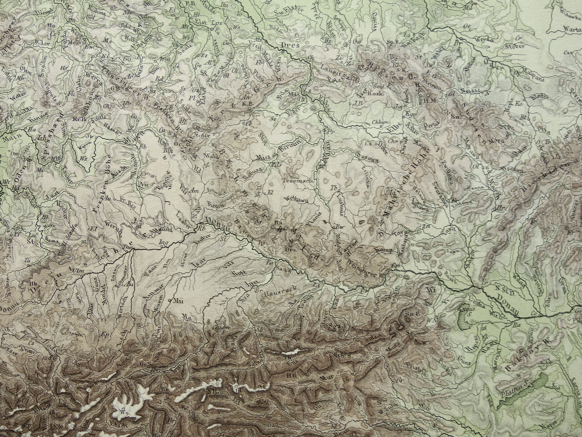
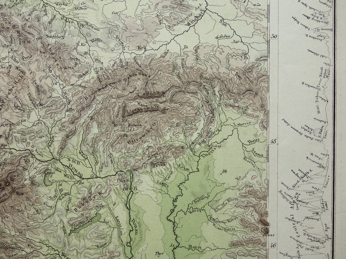
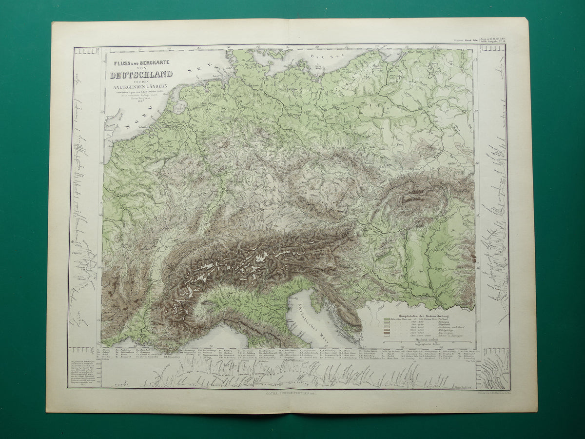
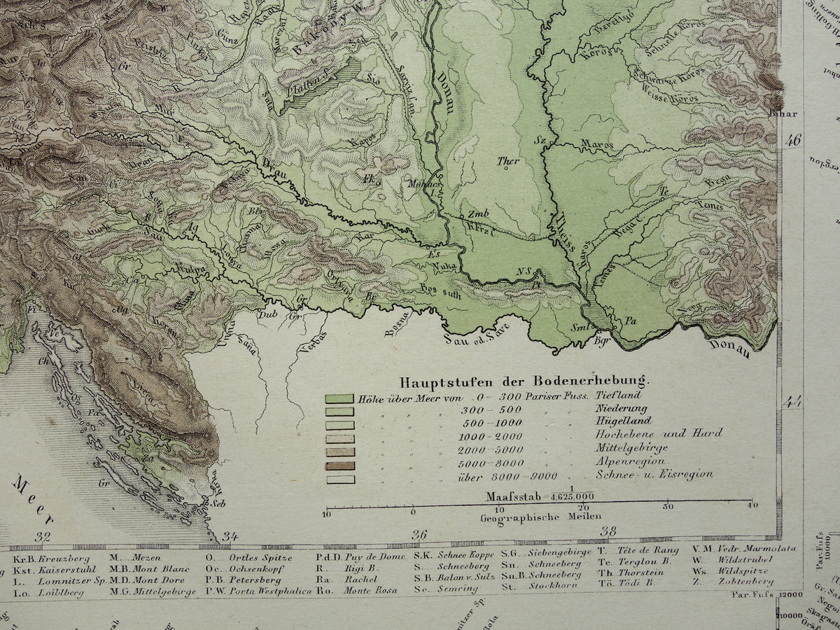
For sale is an antique German map of rivers and mountains in Germany and the surrounding area. The different colors indicate elevations. On three sides, the map is decorated with cross-sections of mountain ranges. The names of all major peaks are indicated on these. The map is very detailed; zoom in on the photos to see this clearly. The year 1867 is printed below the map.

Dimensions: 37 x 45.5 cm

Condition: the map is in very good condition. Issued with a center fold.
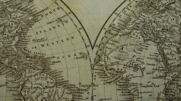
Origin: Stieler's Handatlas


View full details
  • Guaranteed original old maps

    We sell only original antique and vintage maps. We guarantee that your purchase was made on or around the date stated in the description.

  • Fast shipping

    We ship same or next business day. Free or discounted shipping when you order two items. Click here for more info

"Beautiful card, exactly as described. Fast shipping and the card was packaged perfectly. Great transaction, thank you very much!"

ANNE ESCHER