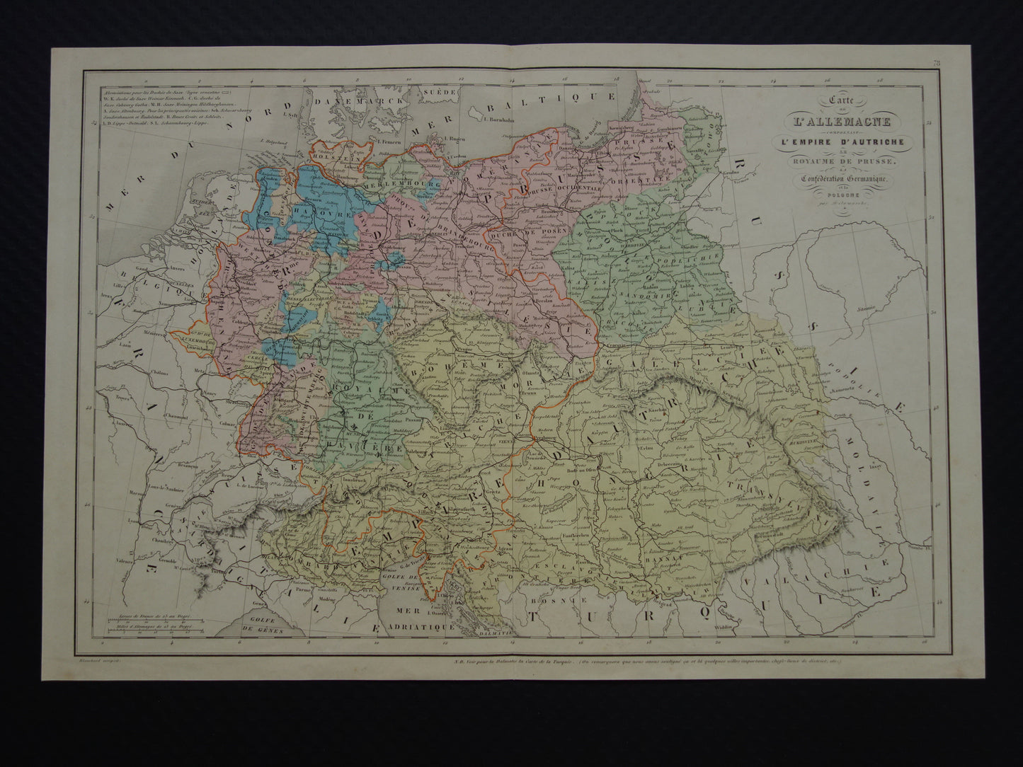
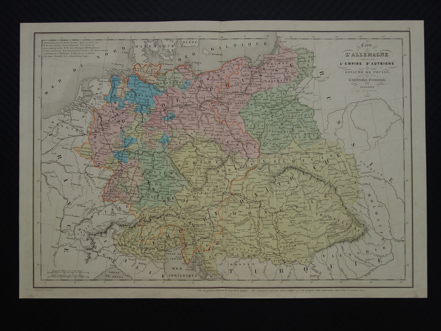
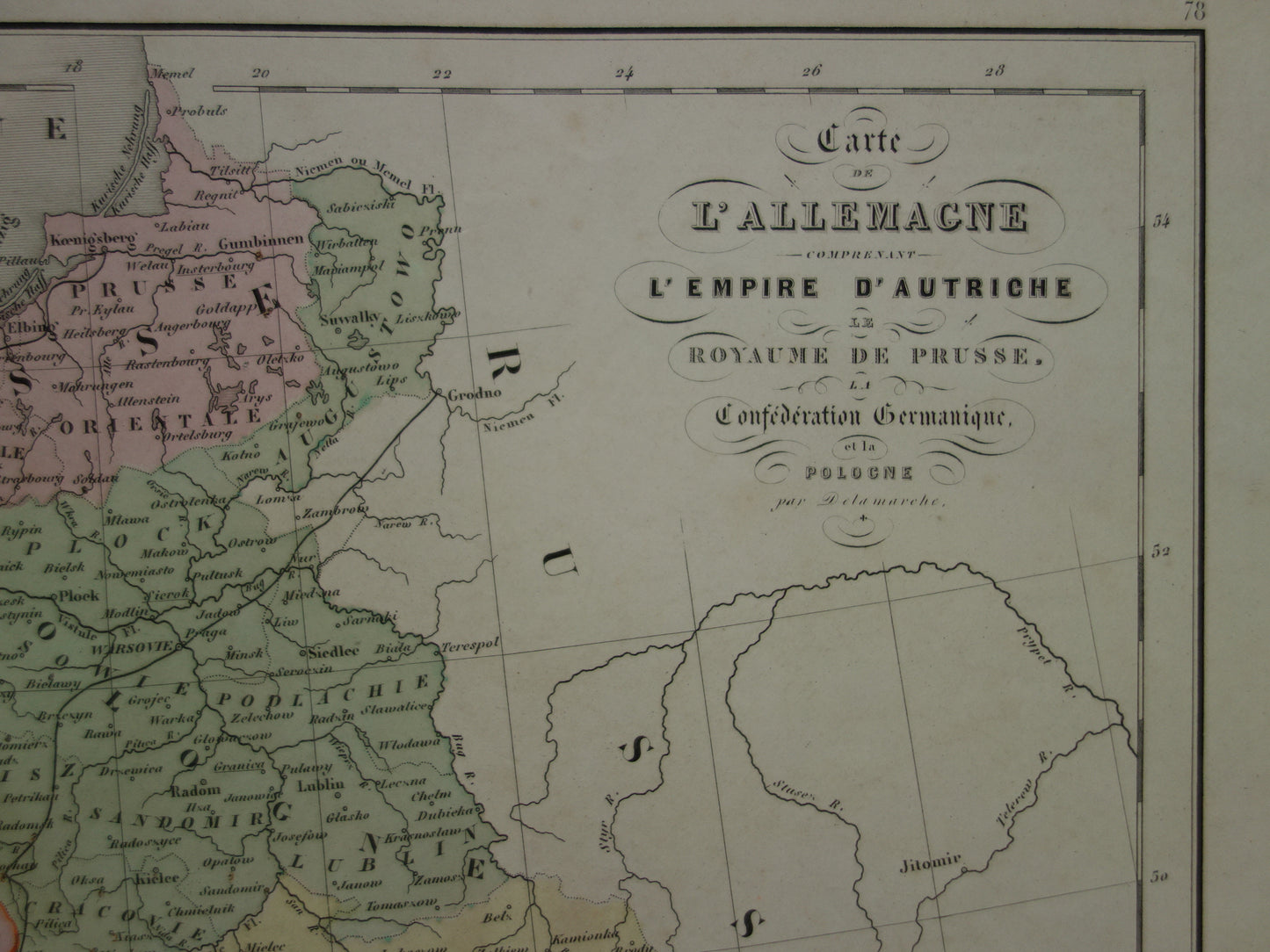
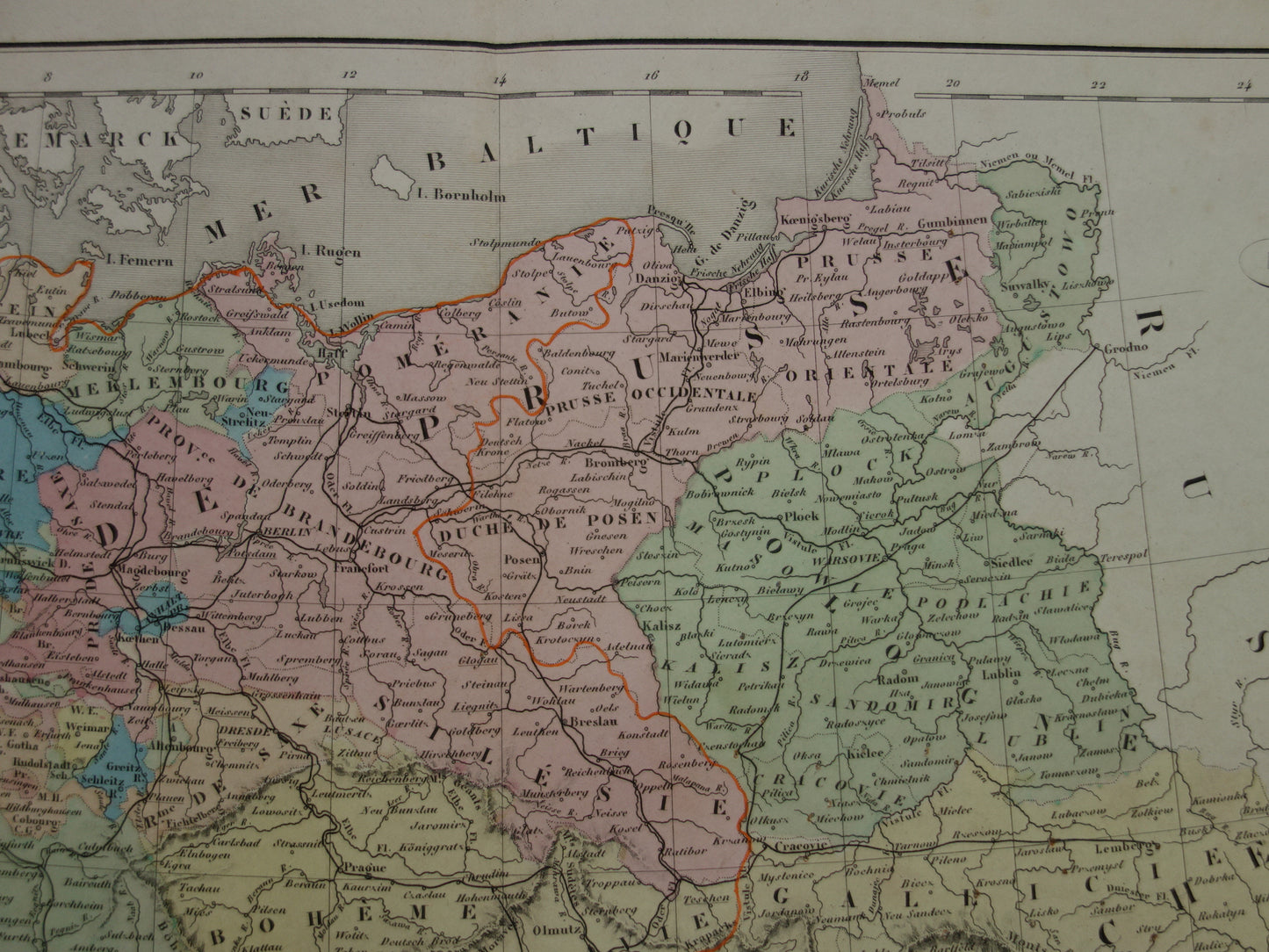
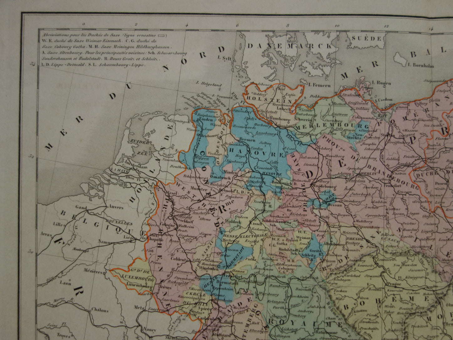
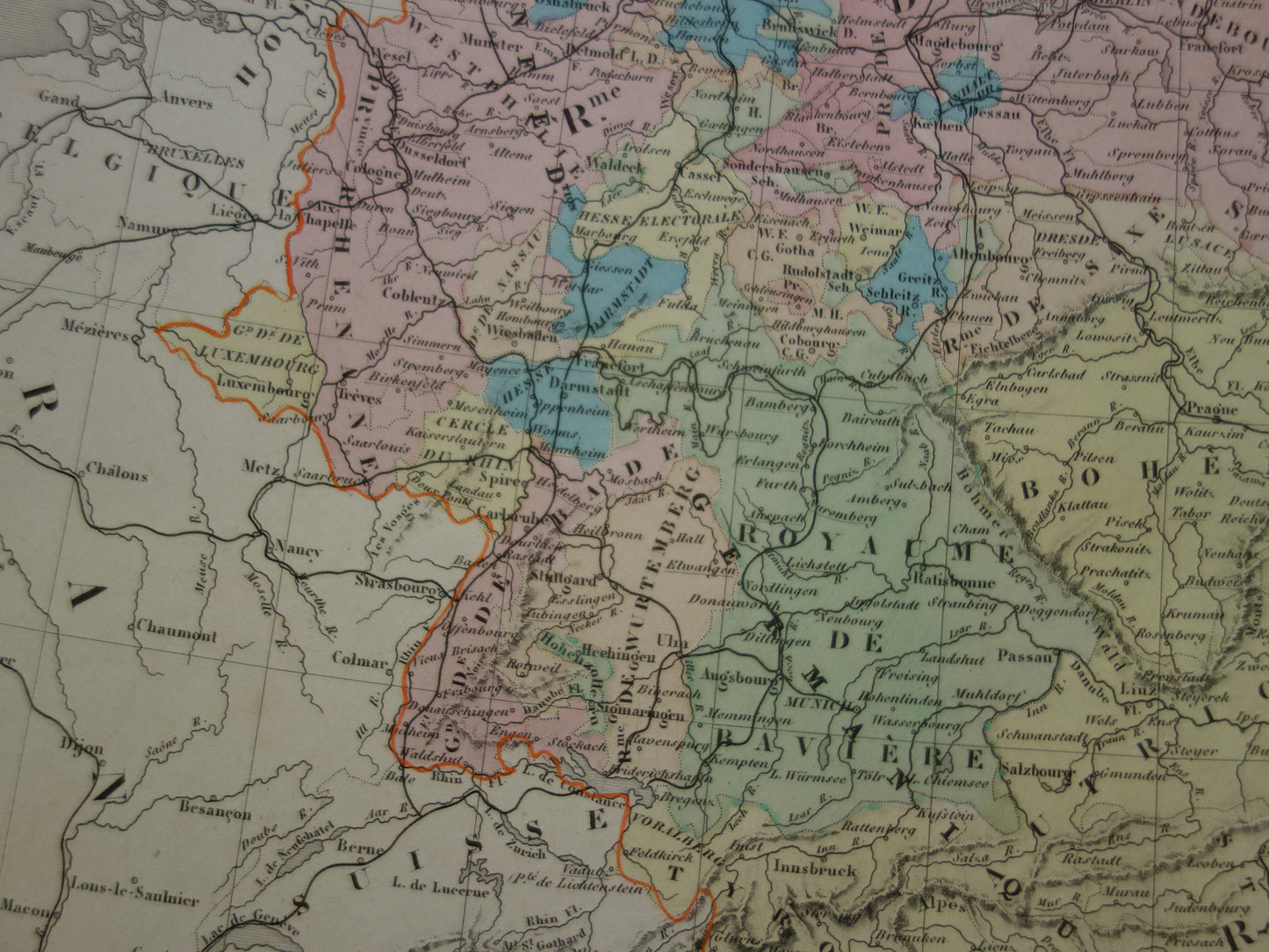
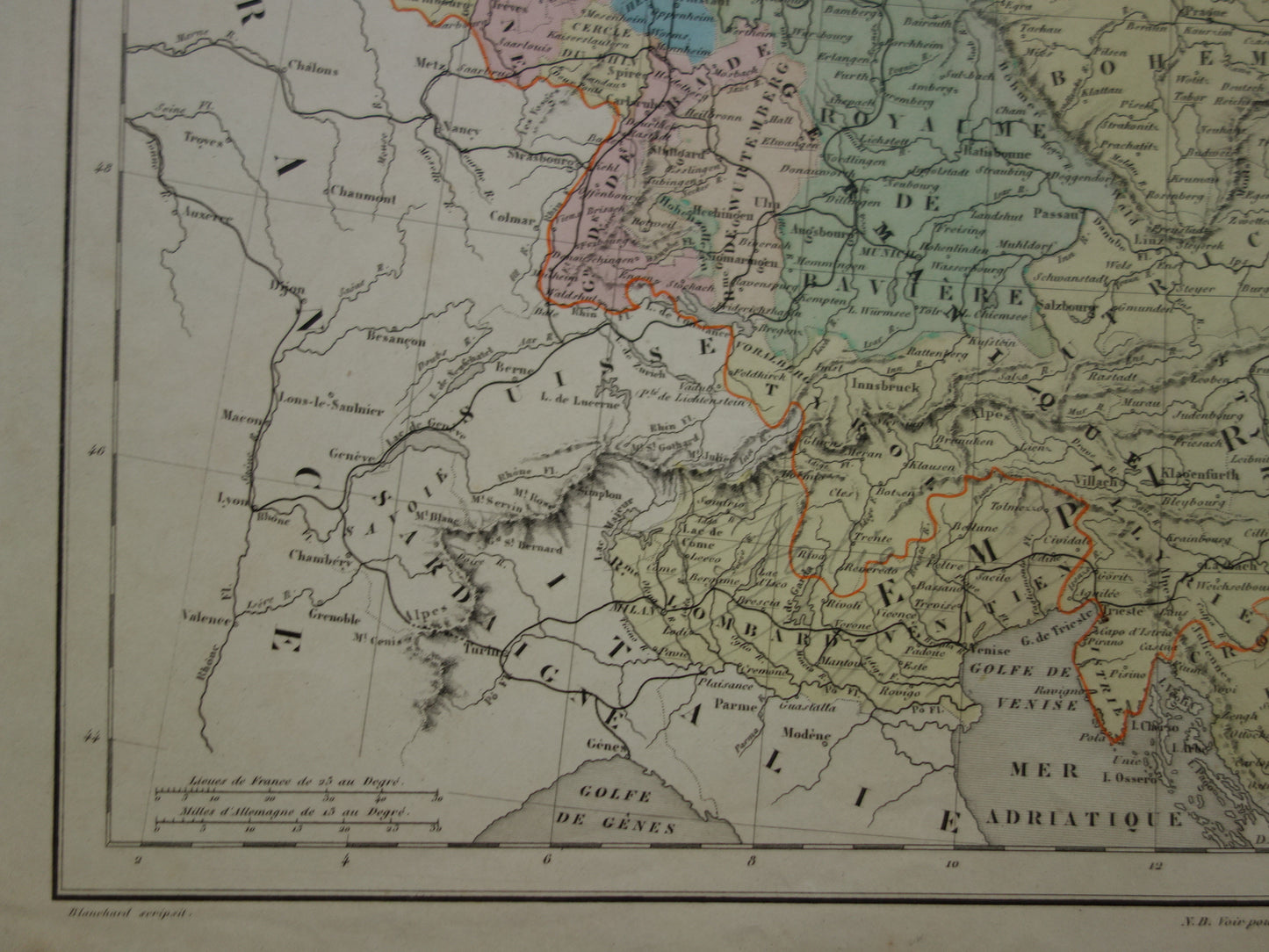
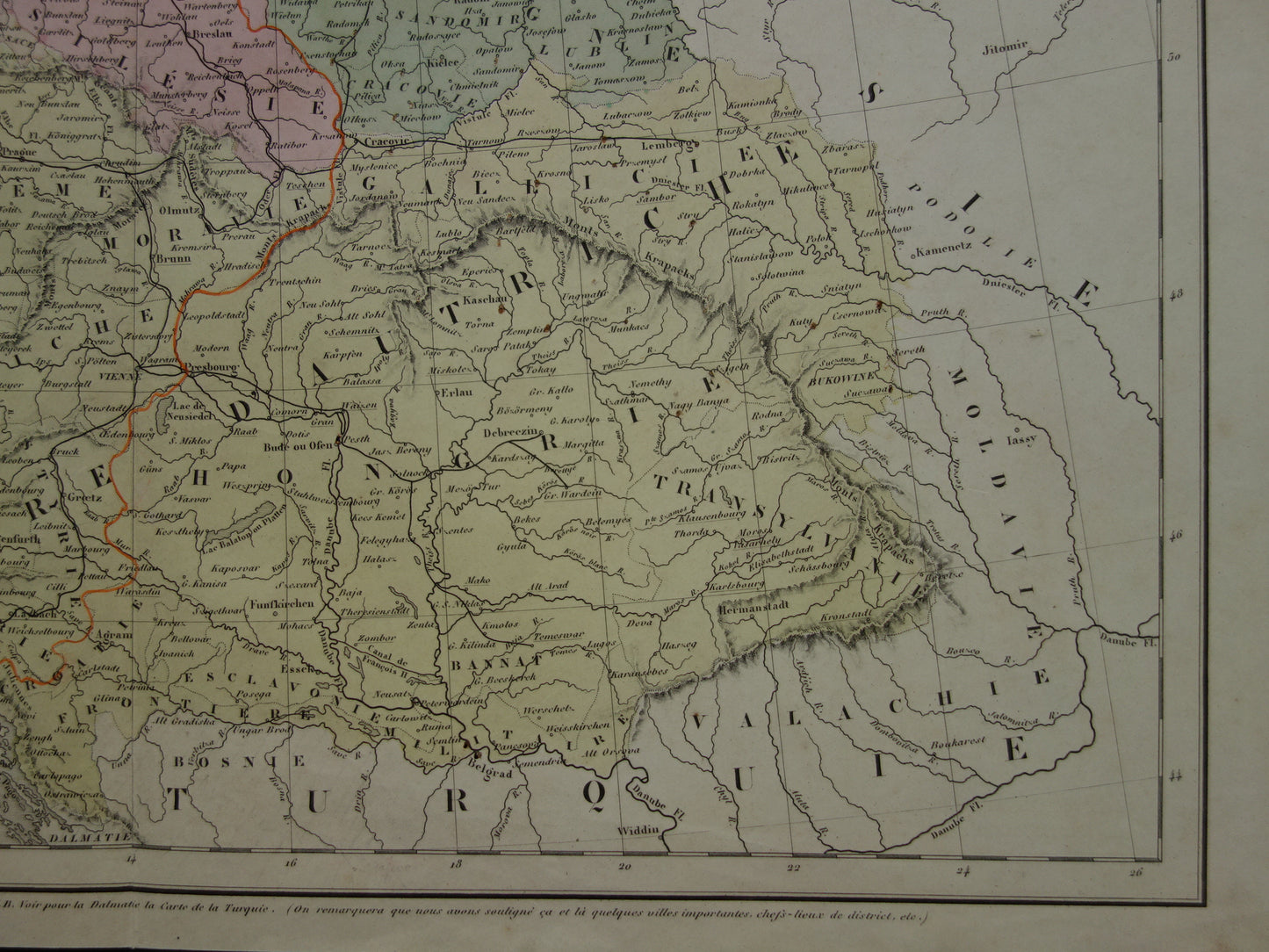
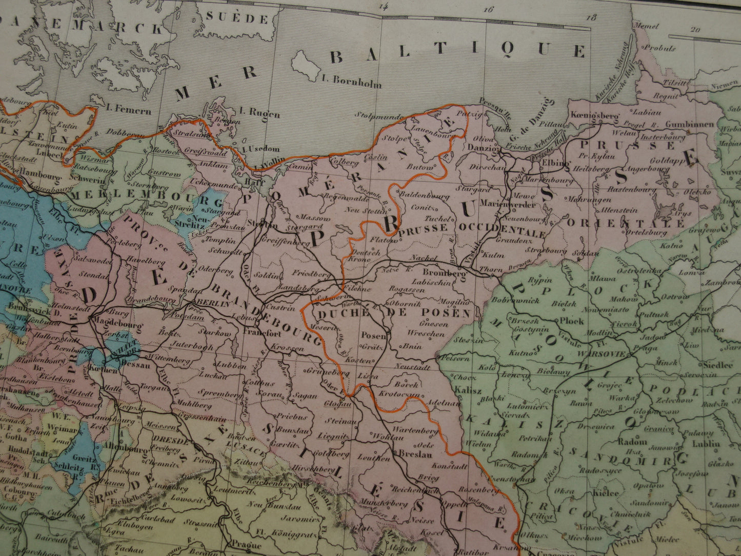
For sale is a charming antique hand-colored map of the German Confederation, Poland and Austria-Hungary from the year 1859. The map is colorful and detailed. Zoom the photos to see all the details. The map is colored by hand.
Dimensions: 31.5 x 46.5 cm
Condition: the map has around 20 tiny holes from pins. These are not or hardly visible (see photos). Map has been reduced in price. Otherwise in good condition. With a centerfold, as issued.
Origin:Atlas of physical, political, historical geography adopted by the university - Delamarche - Edition of 1859
ORDER WITHOUT RISK At Oudekaarten.com you always order without risk. Are you not completely satisfied with your purchase? You can return your purchase free of charge and get your full purchase price back.
We sell only original antique and vintage maps. We guarantee that your purchase was made on or around the date stated in the description.
Fast shipping
We will ship your order the next business day at the latest. Free shipping within the Netherlands when purchasing 2 cards. Click here for more information
"Beautiful card, exactly as described. Fast shipping and the card was packaged perfectly. Great transaction, thank you very much!"
ANNE ESCHER
Choosing a selection results in a full page refresh.