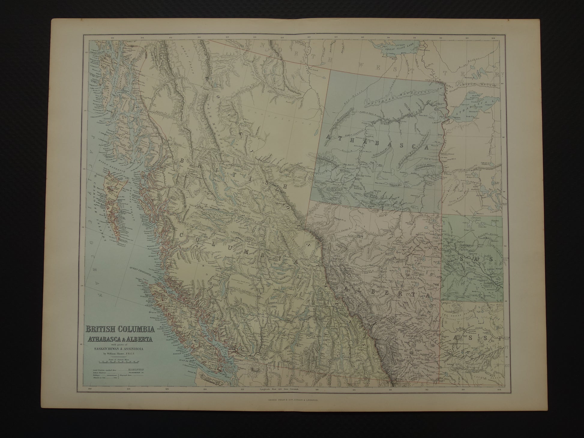
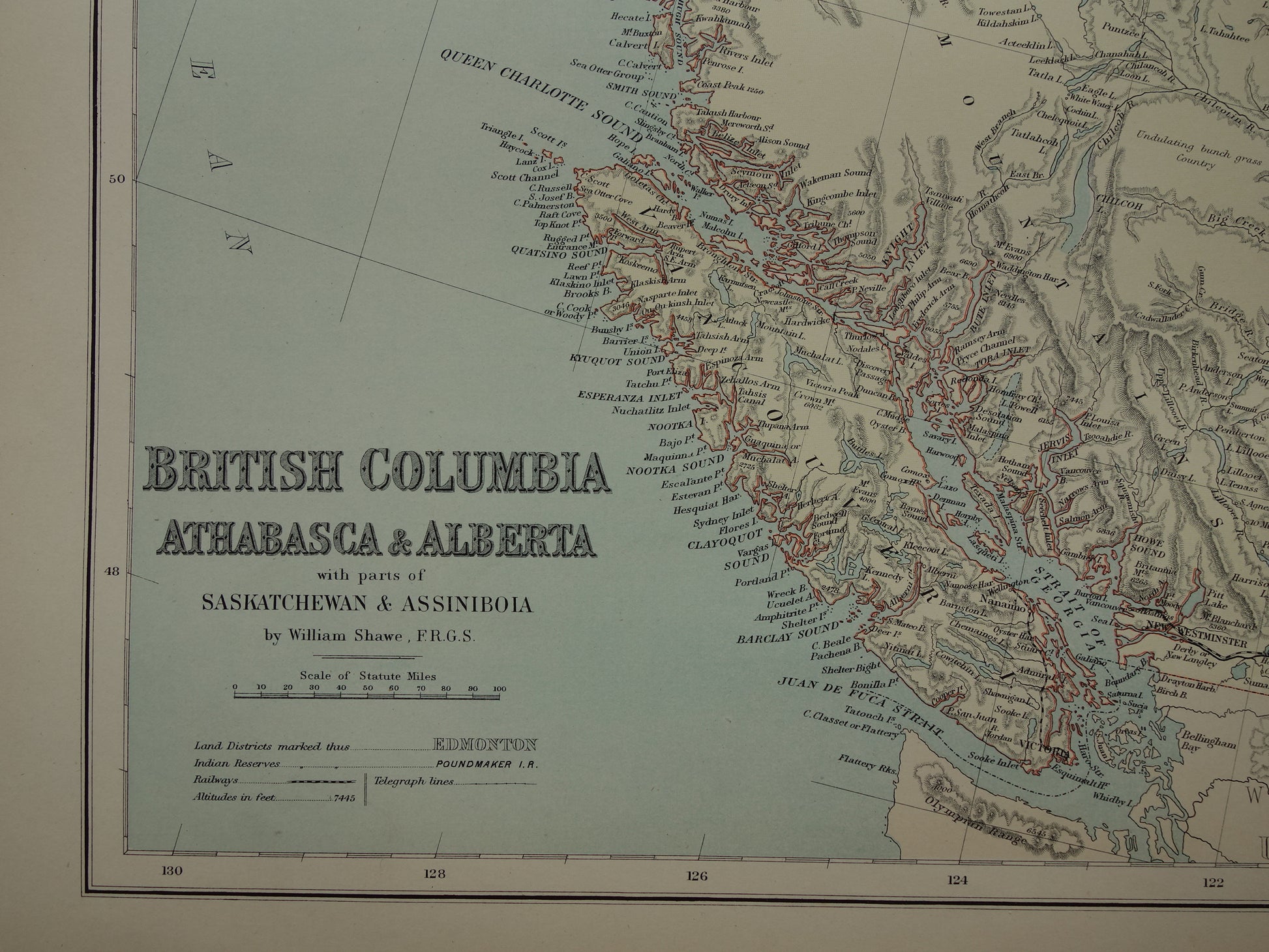
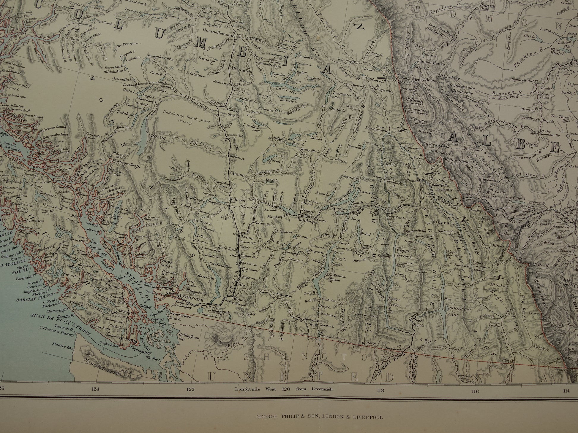
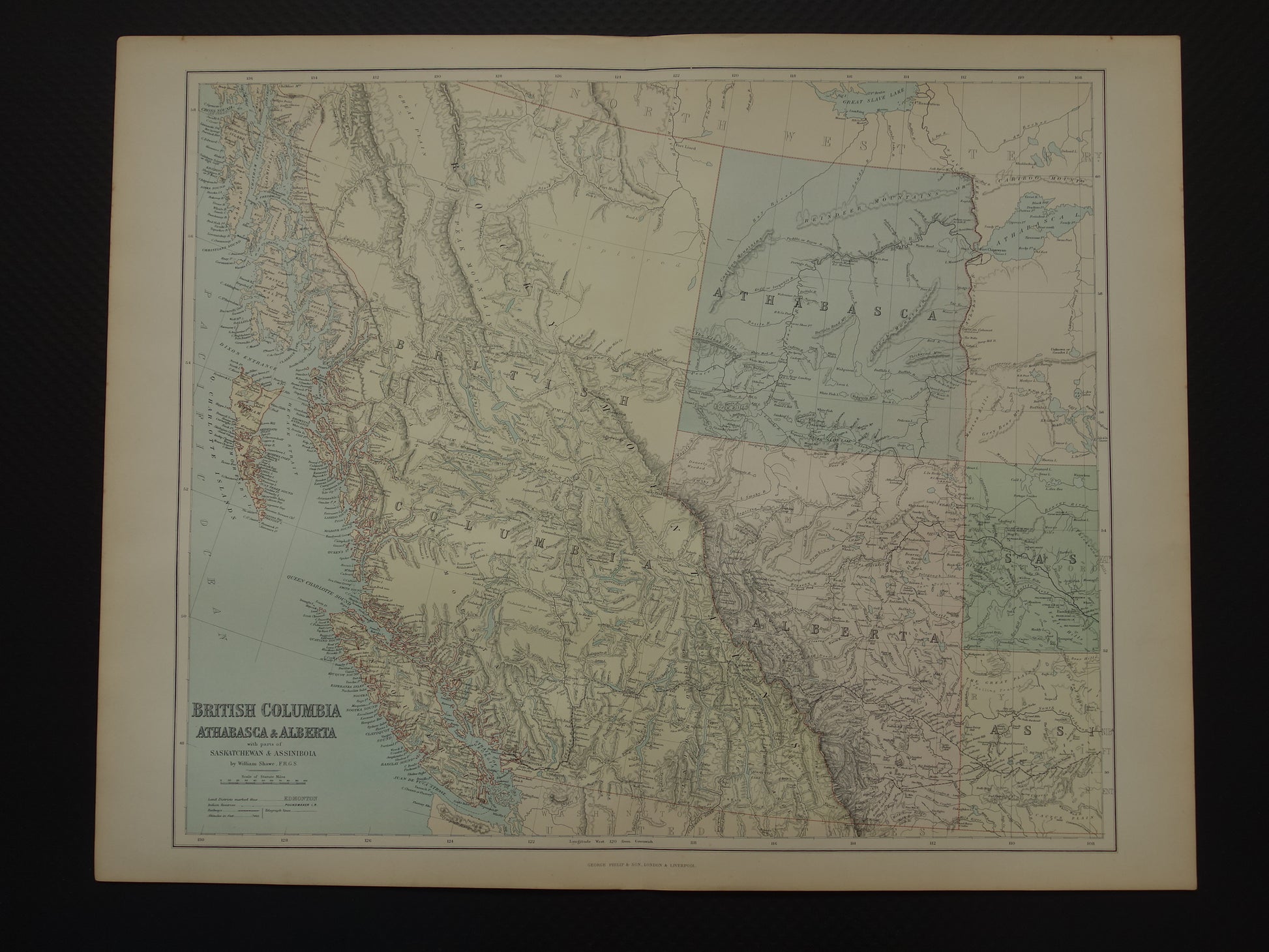
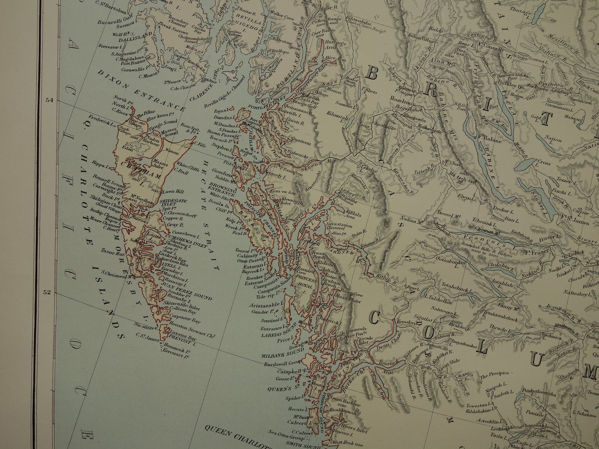
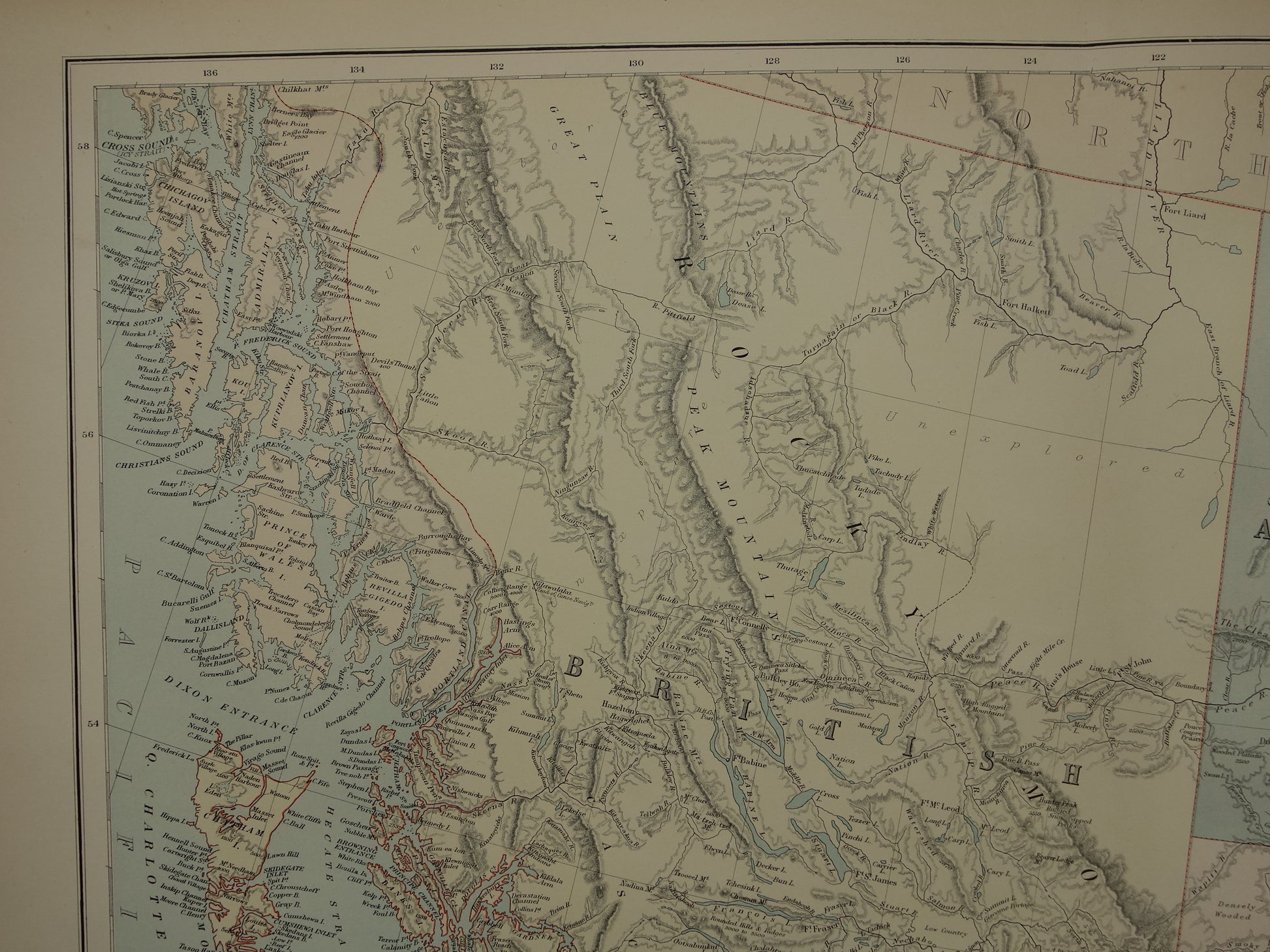
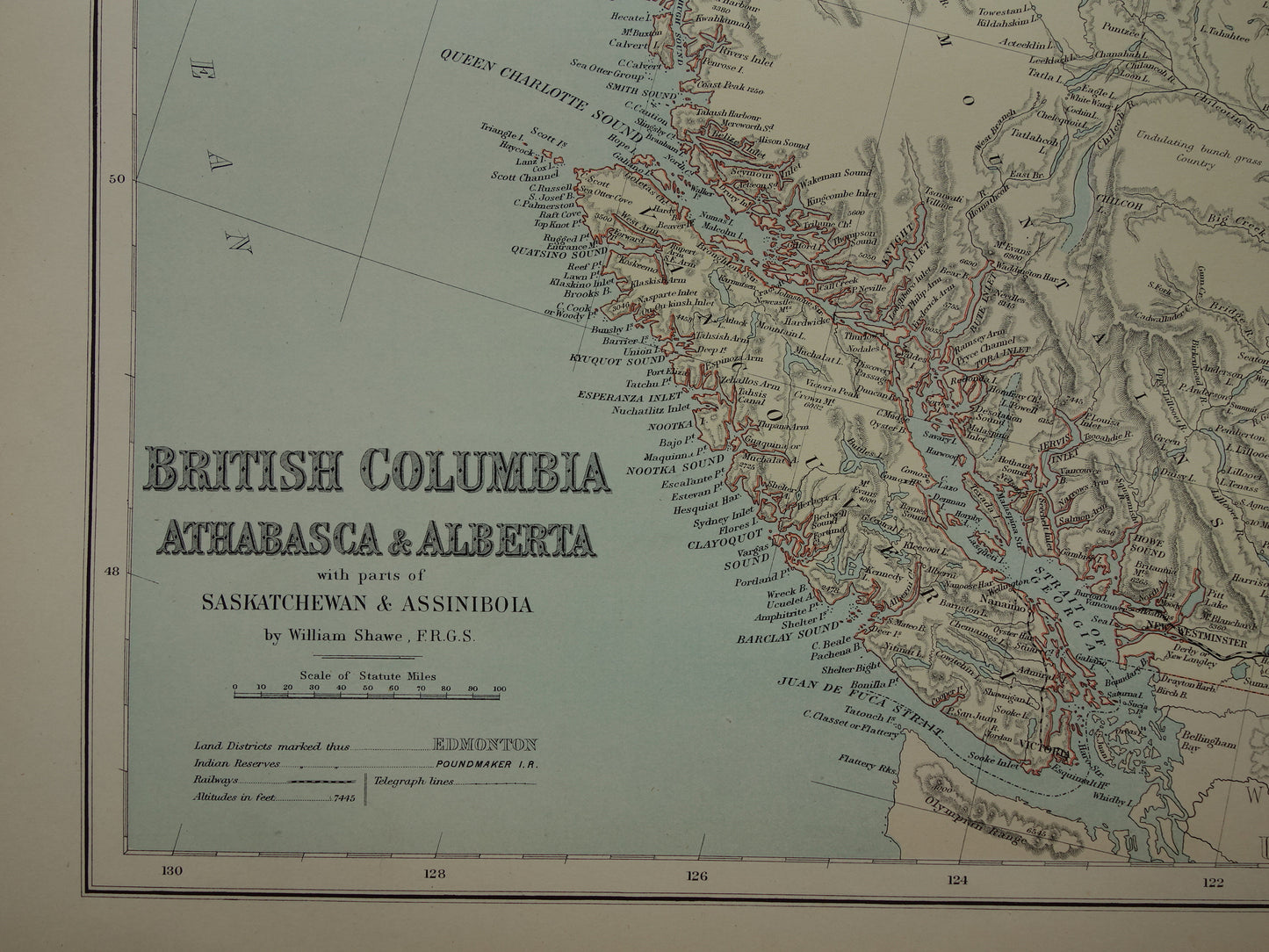
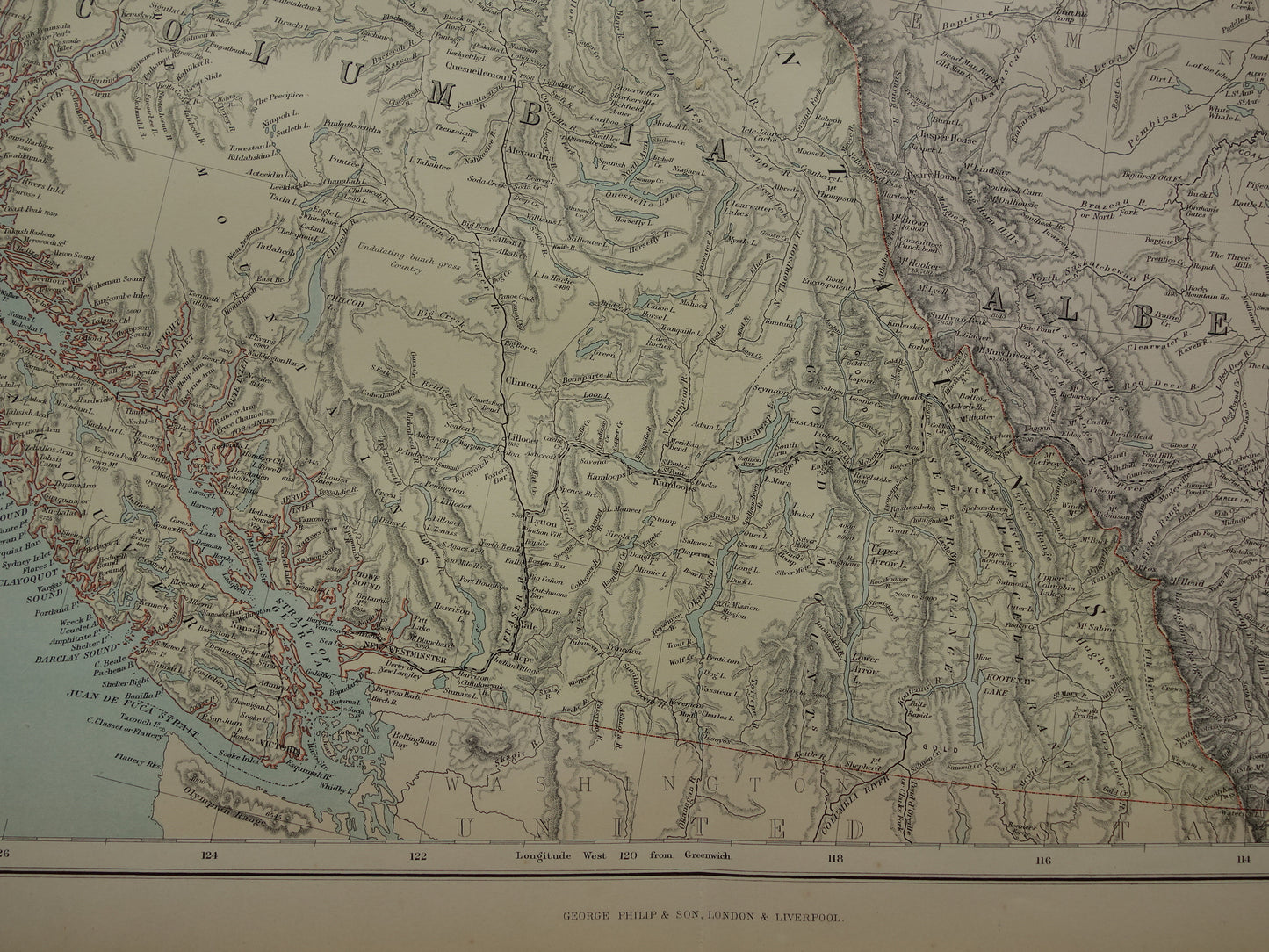
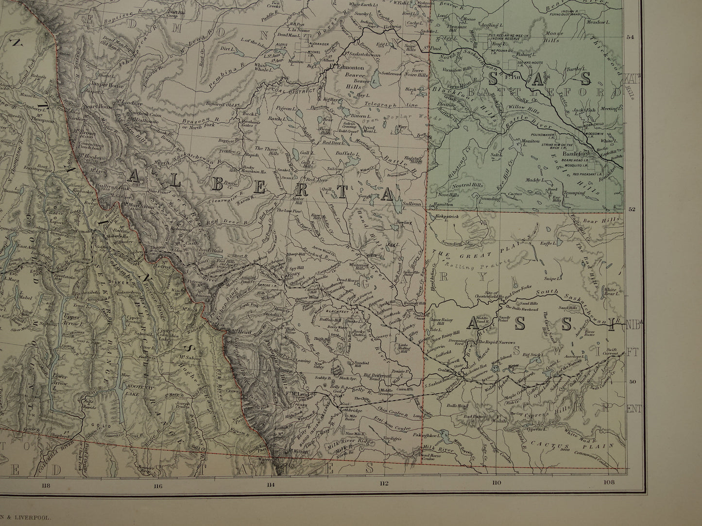
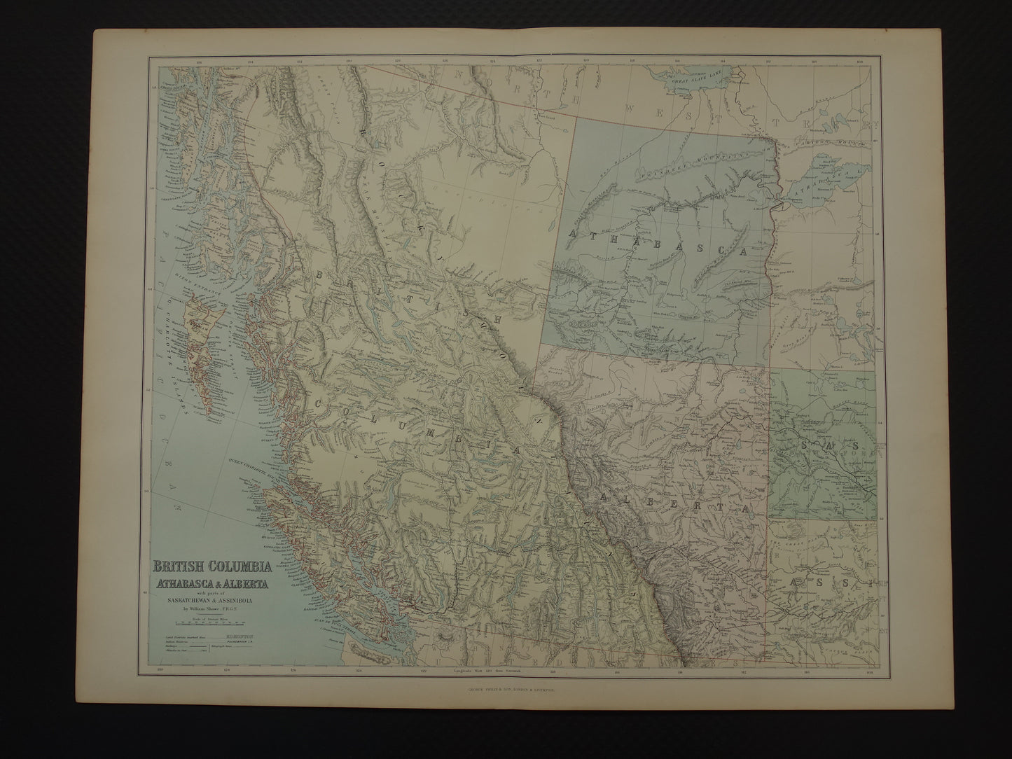
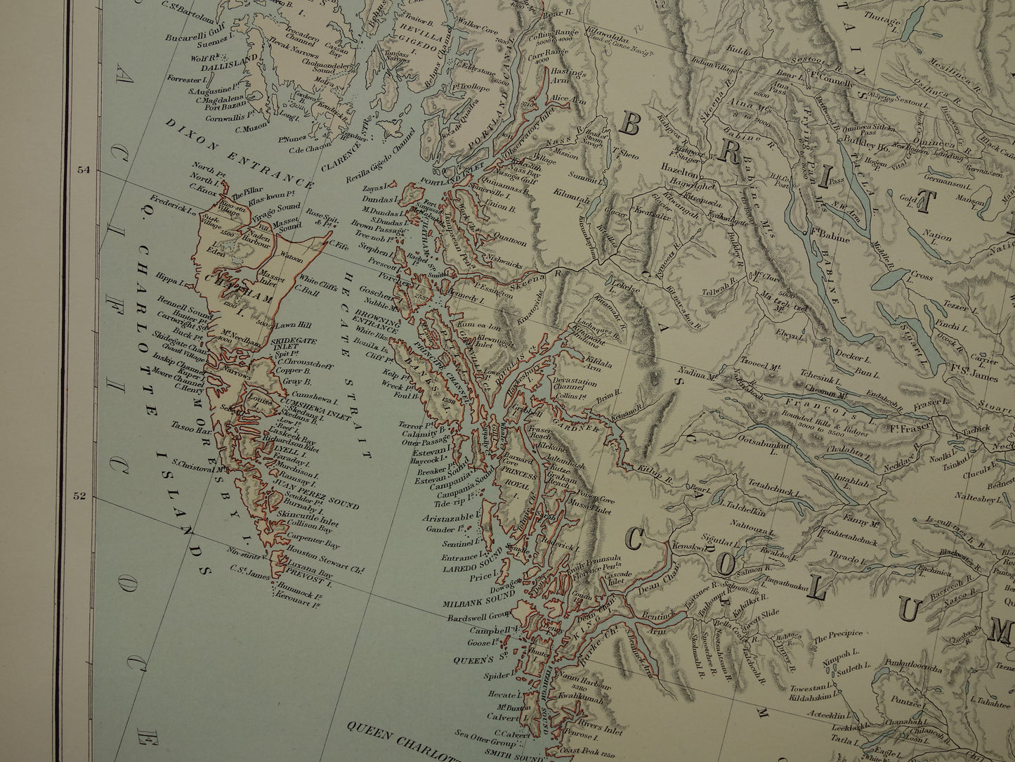
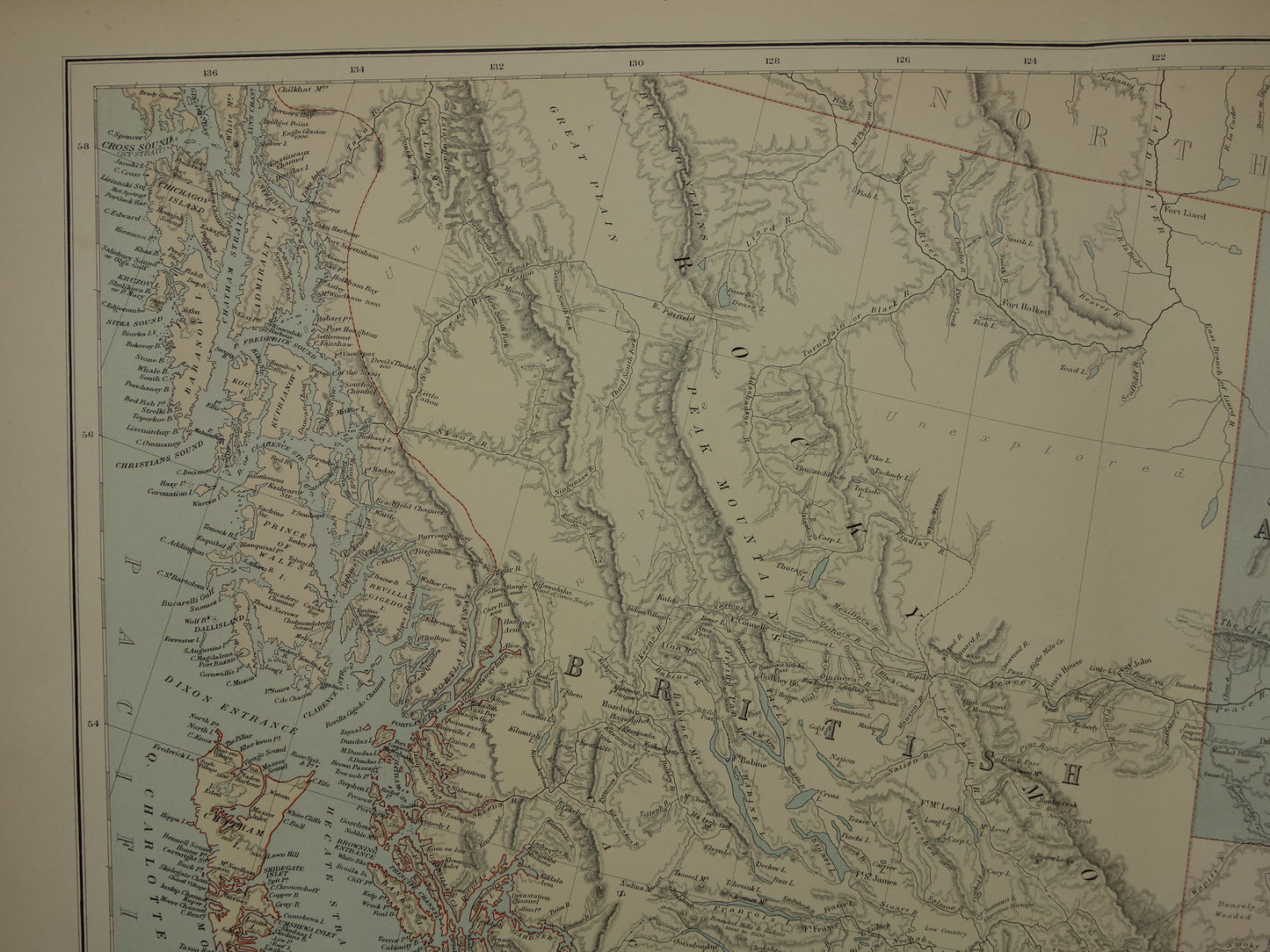
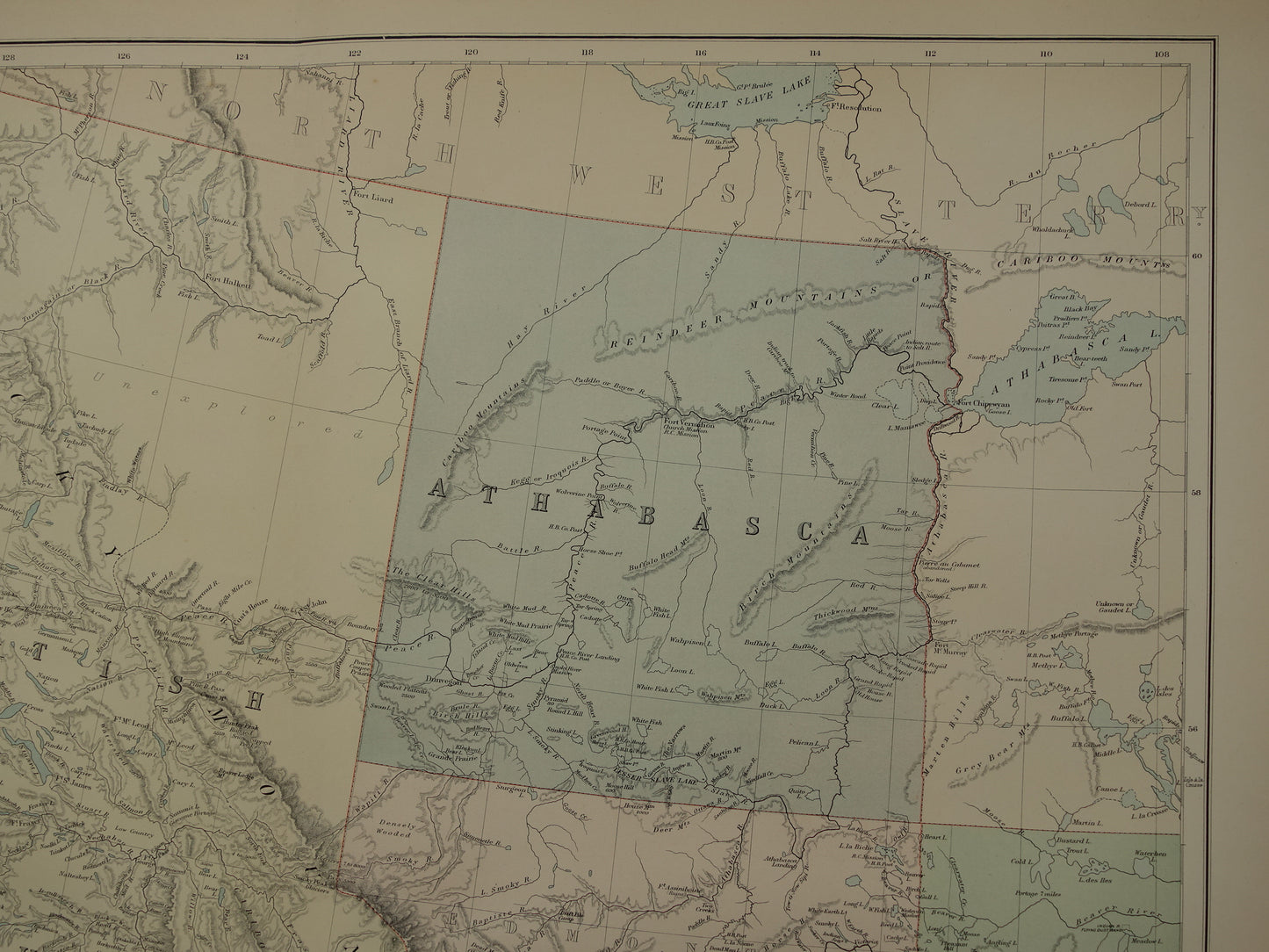
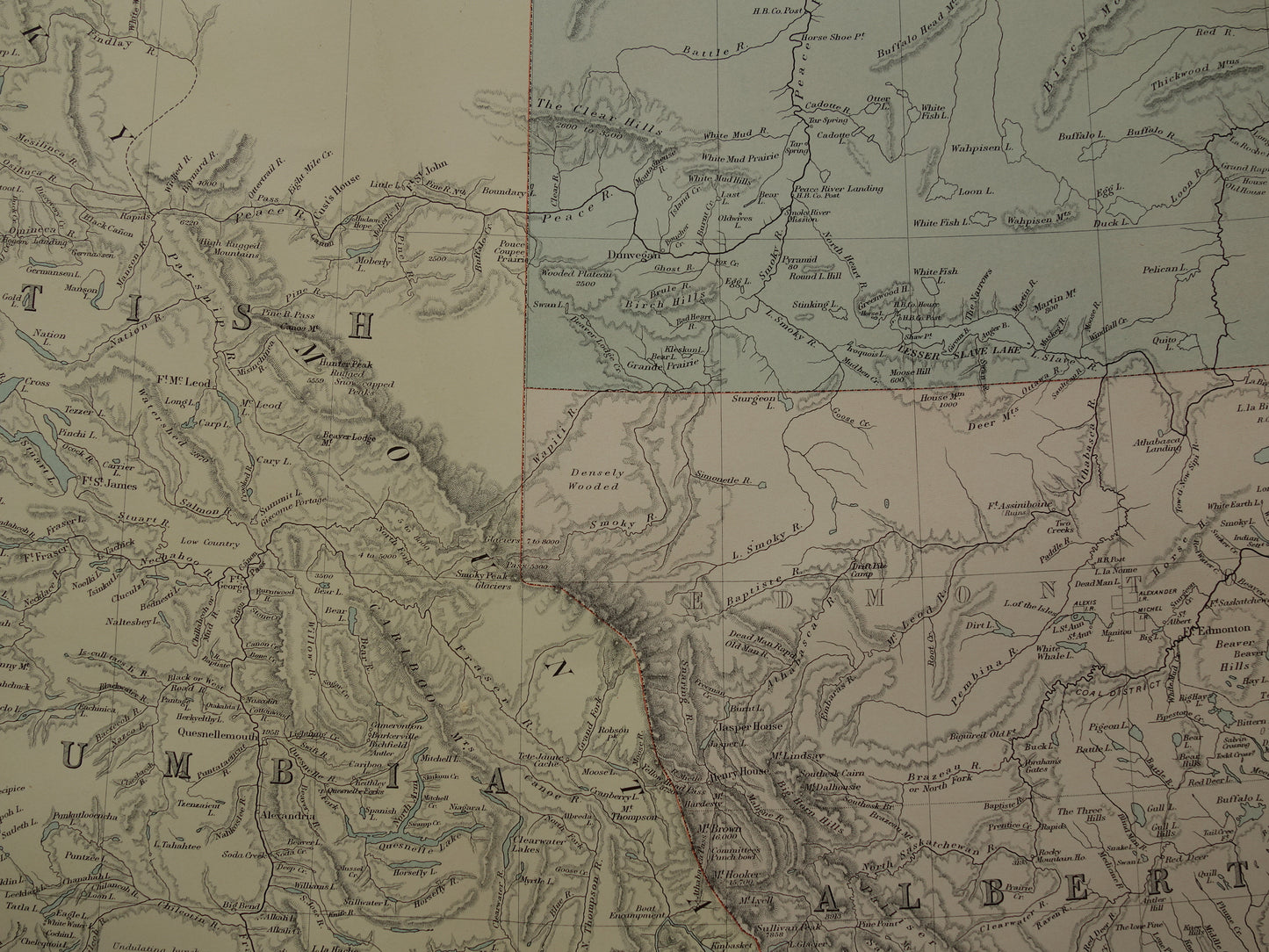
Beautiful, very large antique map of western Canada with British Columbia, Alberta and Athabasca.
Dimensions: 54.5 x 69.5 cm
Condition: good / very good. Tear of a few mm in lower edge, otherwise very good. Published with centerfold. Printed on heavy paper.
Origin: 'Imperial Atlas' - George Philip & Sons - Edition of 1890
ORIGINAL ANTIQUE MAP Oudekaarten.com only sells original old maps, we do not sell modern reprints.
ORDER WITHOUT RISK At Oudekaarten.com you always order without risk. Are you not completely satisfied with your purchase? You can return your purchase free of charge and get your full purchase price back.
We sell only original antique and vintage maps. We guarantee that your purchase was made on or around the date stated in the description.
Fast shipping
We will ship your order the next business day at the latest. Free shipping within the Netherlands when purchasing 2 cards. Click here for more information
"Beautiful card, exactly as described. Fast shipping and the card was packaged perfectly. Great transaction, thank you very much!"
ANNE ESCHER
Choosing a selection results in a full page refresh.