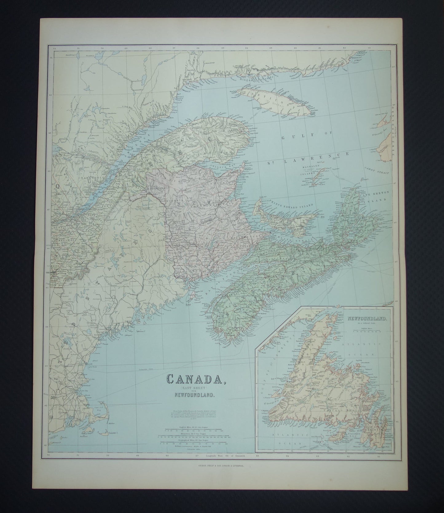
Beautiful, very large antique map of eastern Canada in 1890 with Quebec, Brunswick, Nova Scotia, Prince Edward Island and a large inset map of Newfoundland. Very suitable for framing.
Dimensions: 54.5 x 69 cm
Condition: good / very good. Published with centerfold. Printed on heavy paper.
Origin: 'Imperial Atlas' - George Philip & Son - Edition of 1890
ORDER WITHOUT RISK At Oudekaarten.com you always order without risk. Are you not completely satisfied with your purchase? You can return your purchase free of charge and will then receive your full purchase amount back.
We sell only original antique and vintage maps. We guarantee that your purchase was made on or around the date stated in the description.
Fast shipping
We will ship your order the next business day at the latest. Free shipping within the Netherlands when purchasing 2 cards. Click here for more information
"Beautiful card, exactly as described. Fast shipping and the card was packaged perfectly. Great transaction, thank you very much!"
ANNE ESCHER
Choosing a selection results in a full page refresh.