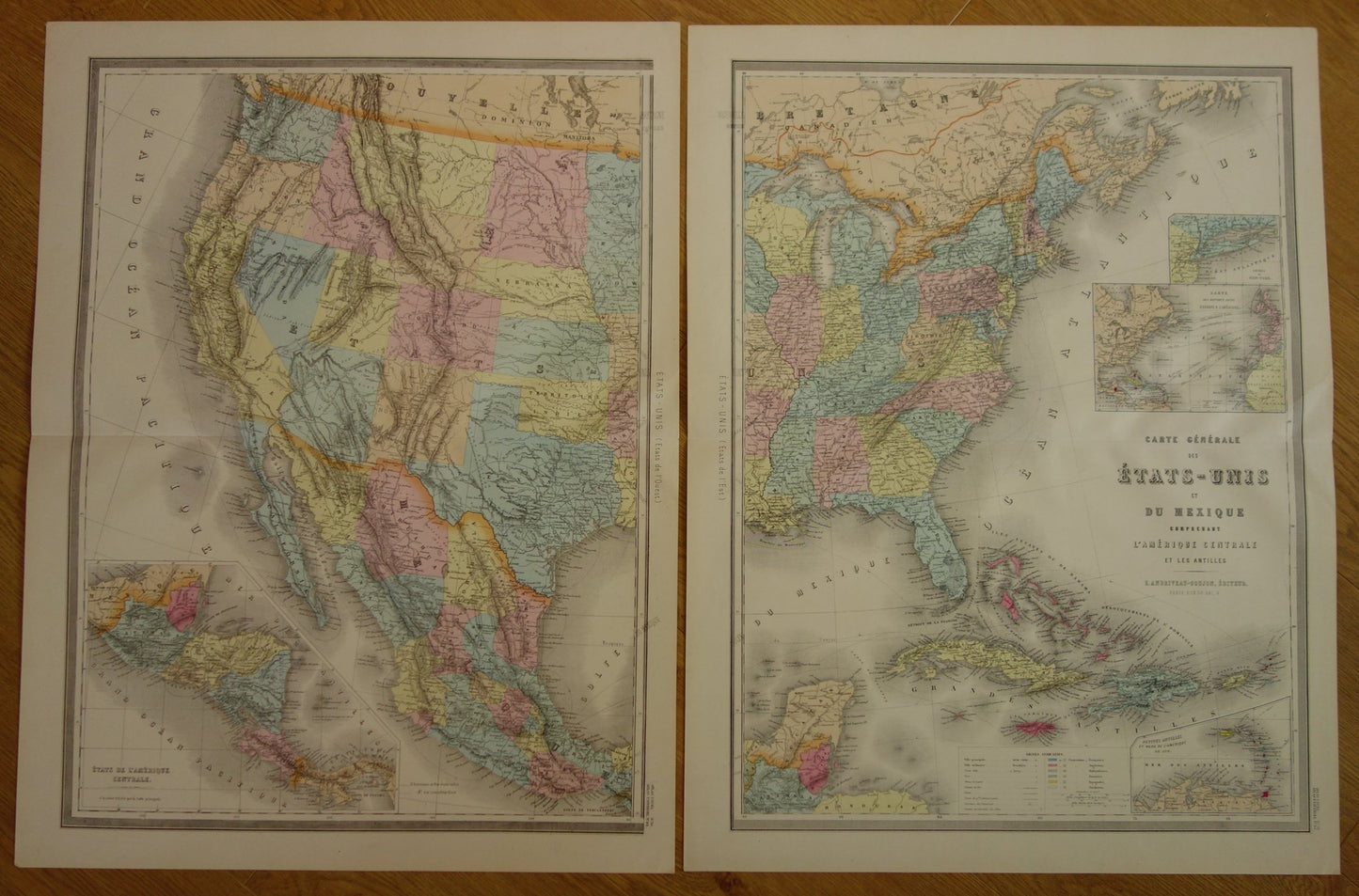
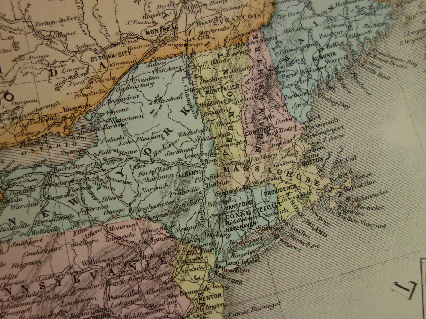
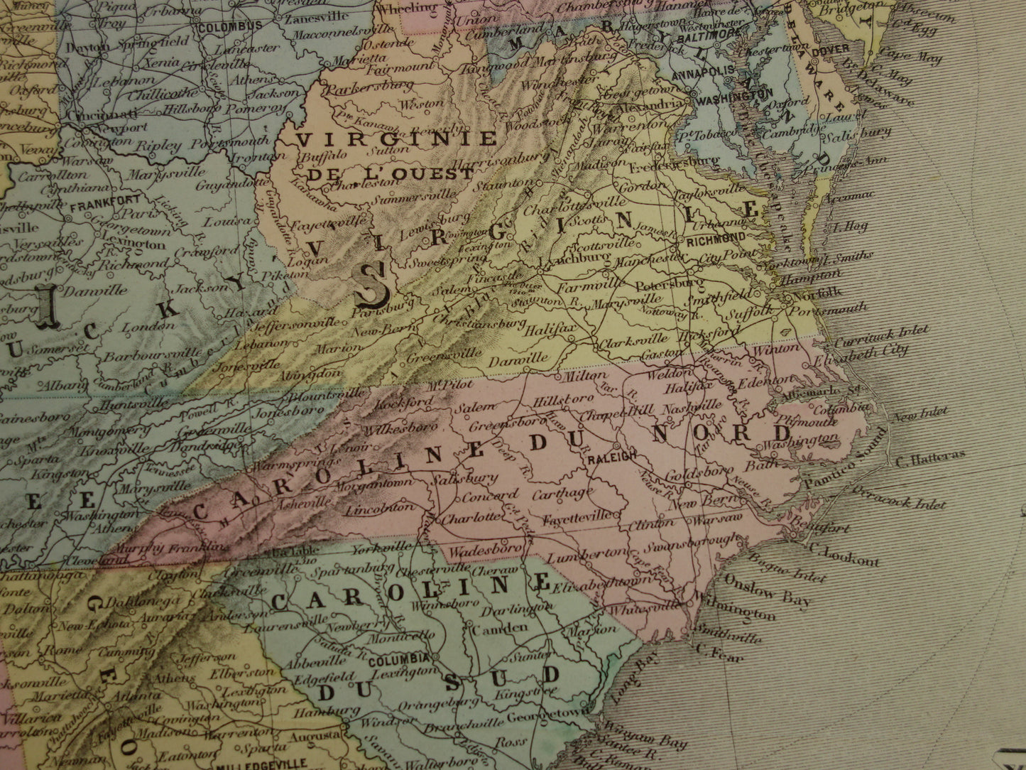
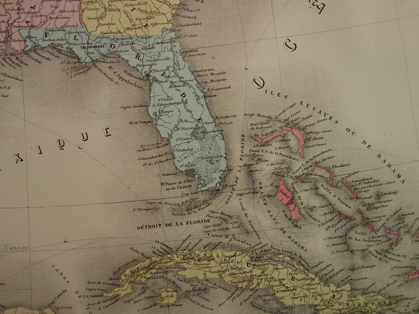
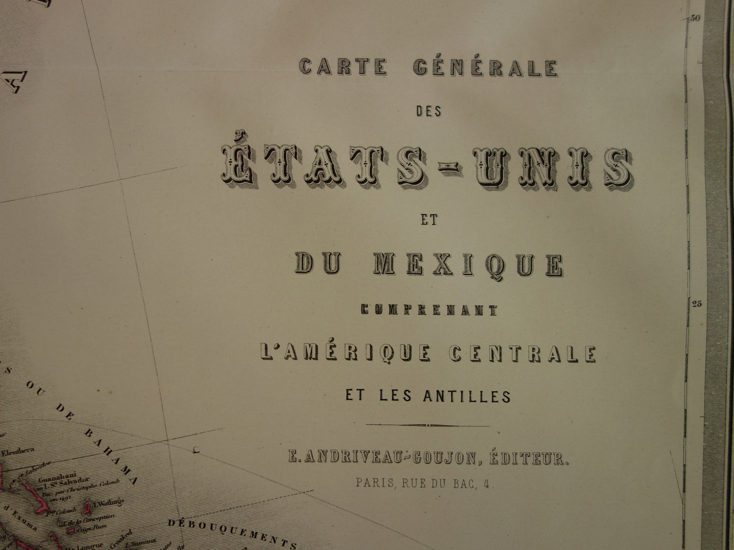
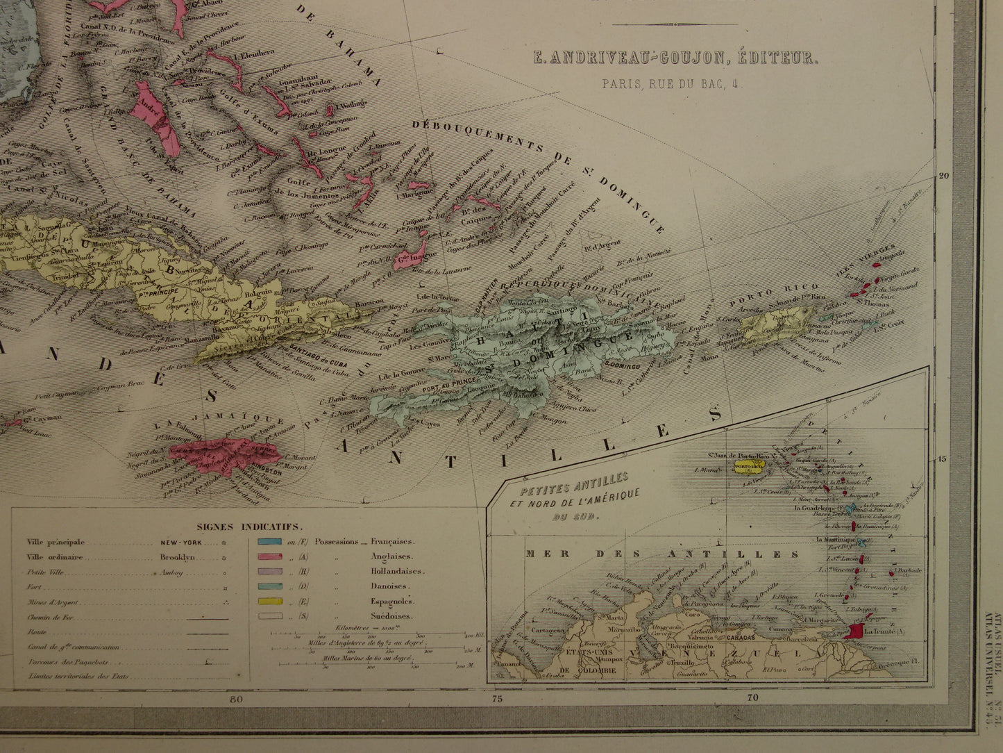
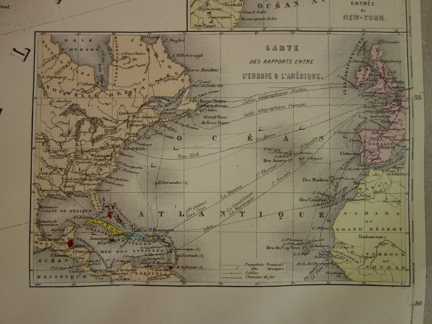
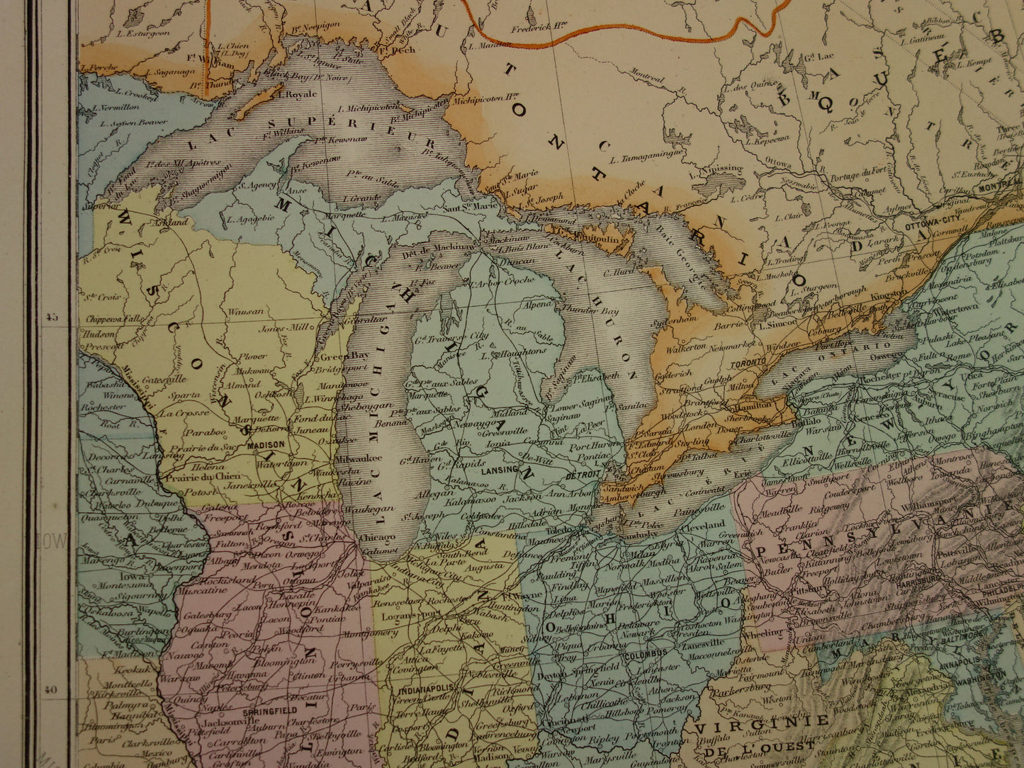
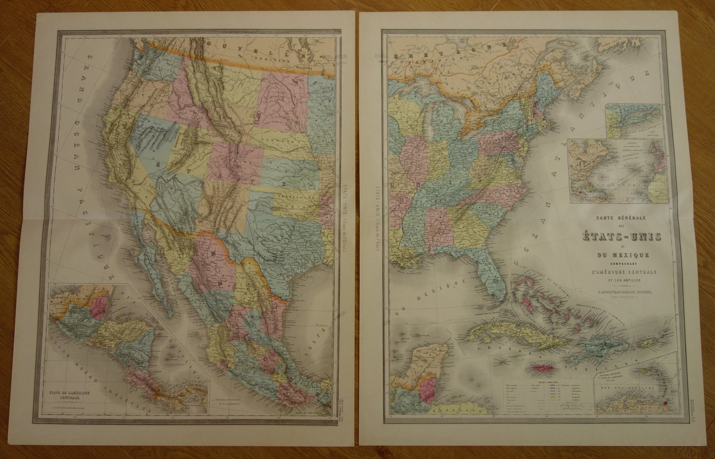
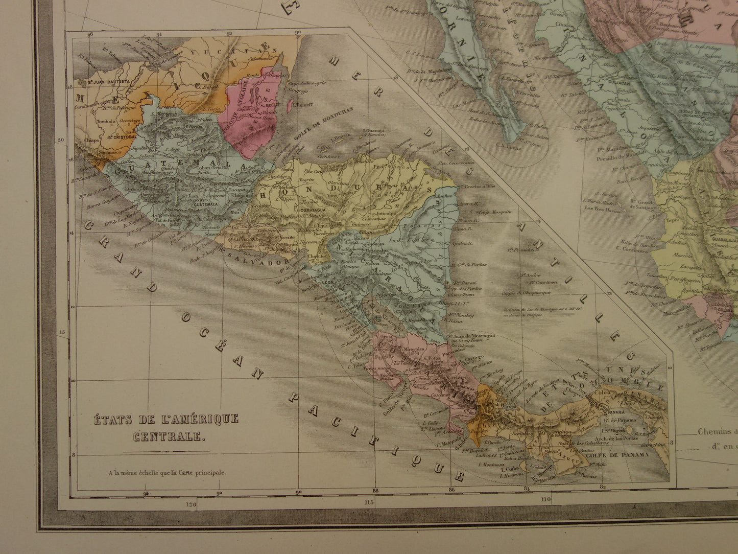
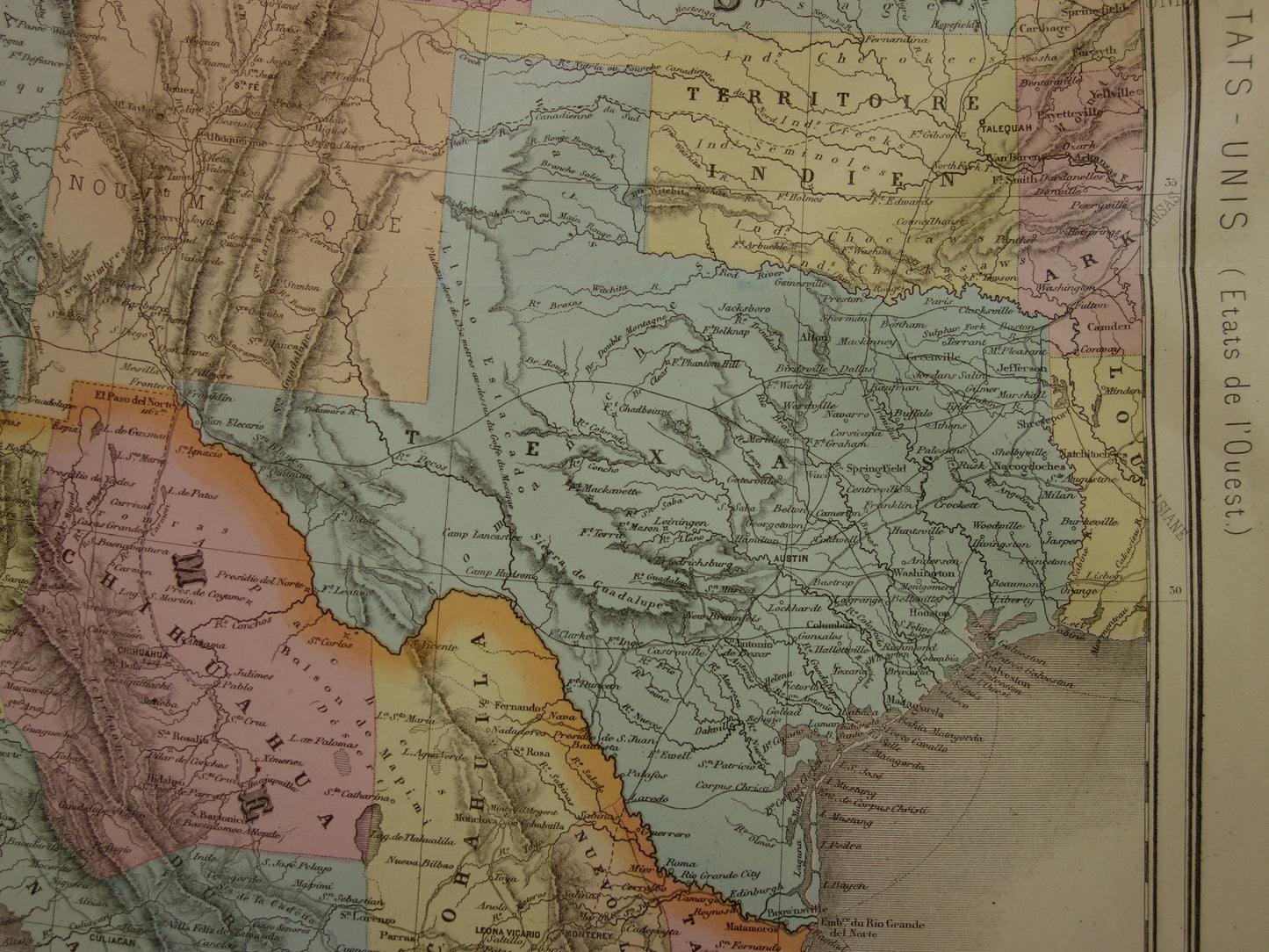
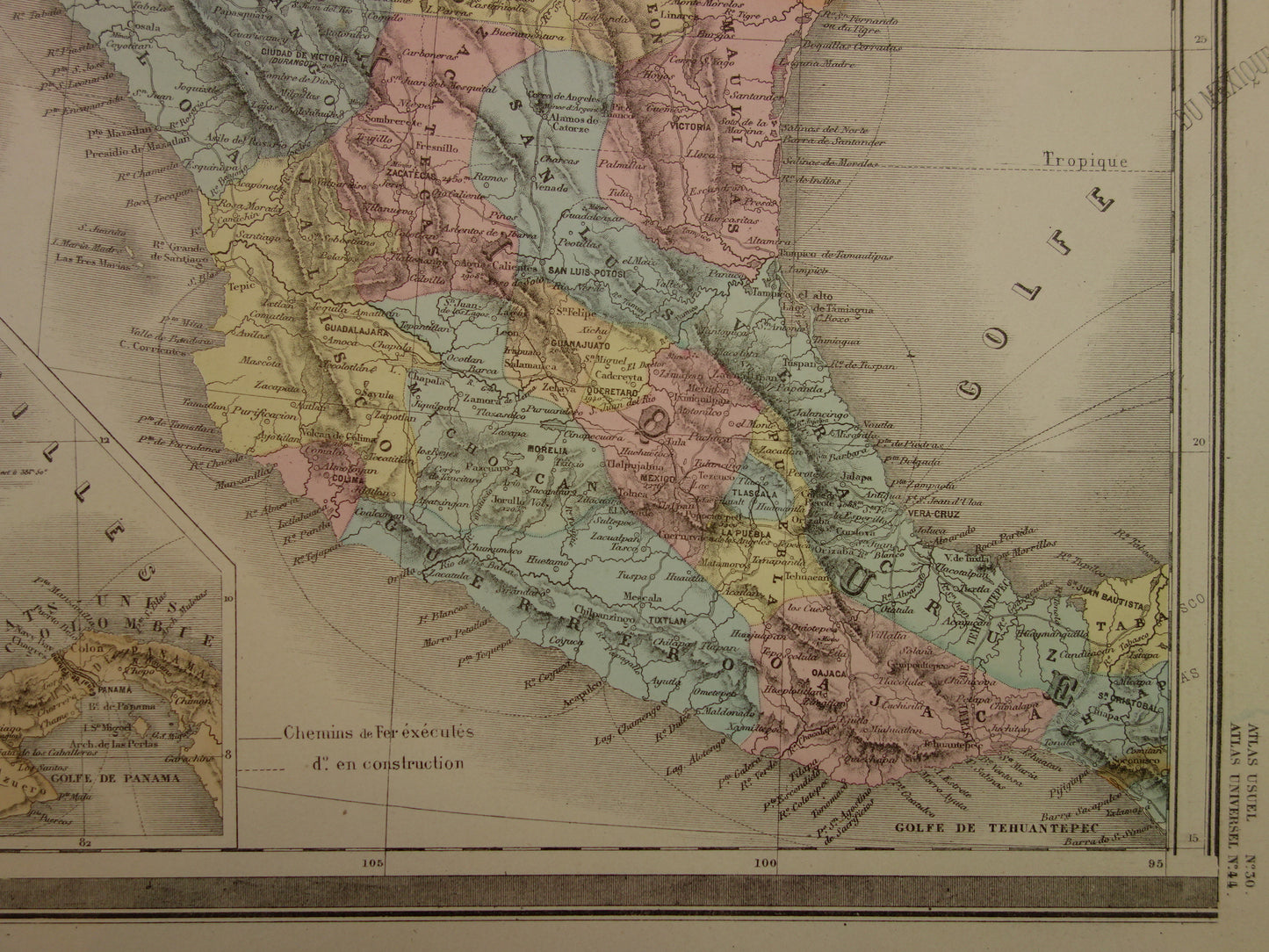
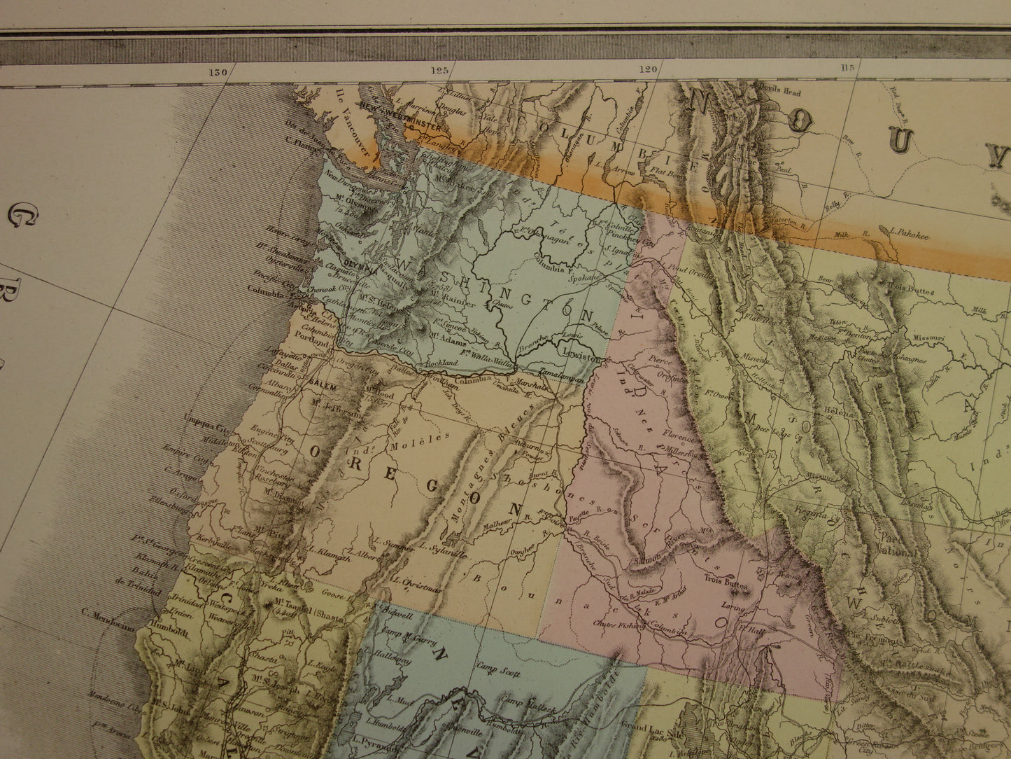
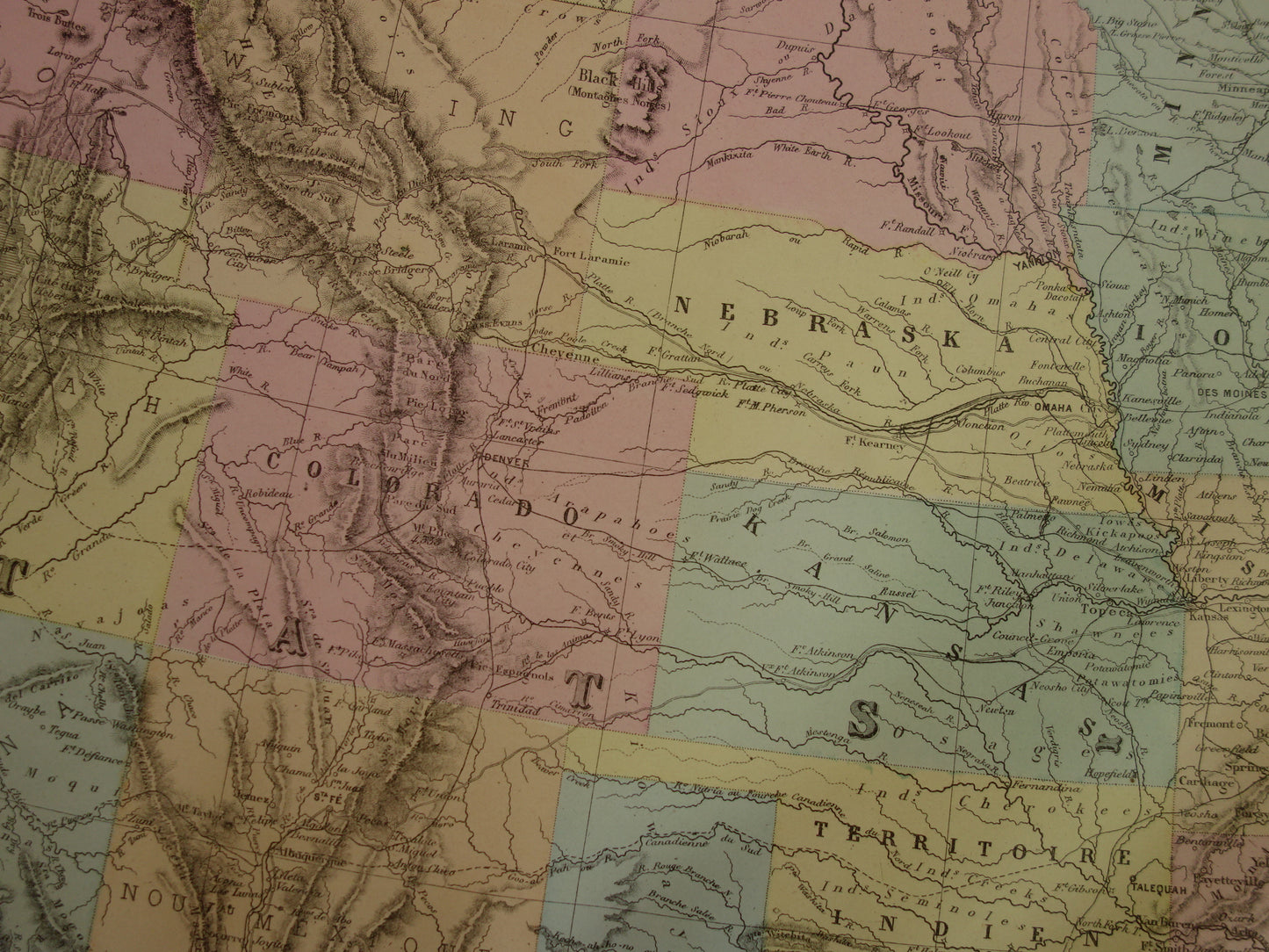
For sale is a very nice antique map of the United States from the year 1883. The beautifully colored map is colored by hand. Bottom left is an inset map of Central America. Top right is an inset map of the area around New York (smaller map) and below that is a map with steamboat lines and telegraph cables between Europe and America. Bottom right is an inset map of the Lesser Antilles.
Printed on two sheets and therefore very large for an antique map. Zoom the photos to see all the details.
Dimensions: each sheet measures 53 x 70 cm. Combined 106 x 70 cm
Condition: the map is in good/very good condition. Each sheet has a centerfold, as issued.
Origin: Atlas Usuel Geographie Moderne - Andriveau-Goujon - Paris 1883
ORDER WITHOUT RISK At Oudekaarten.com you always order without risk. Are you not completely satisfied with your purchase? You can return your purchase free of charge and get your full purchase price back.
We sell only original antique and vintage maps. We guarantee that your purchase was made on or around the date stated in the description.
Fast shipping
We will ship your order the next business day at the latest. Free shipping within the Netherlands when purchasing 2 cards. Click here for more information
"Beautiful card, exactly as described. Fast shipping and the card was packaged perfectly. Great transaction, thank you very much!"
ANNE ESCHER
Choosing a selection results in a full page refresh.