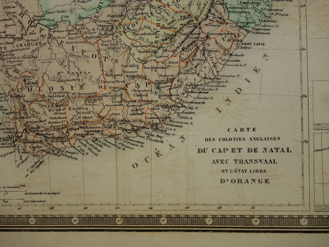
Large antique French map of the southern part of Africa. This map is hand-colored. The map shows 8 routes taken by various explorers, including Stanley and Livingstone.
Dimensions: 47.5 x 61.5 cm (large)
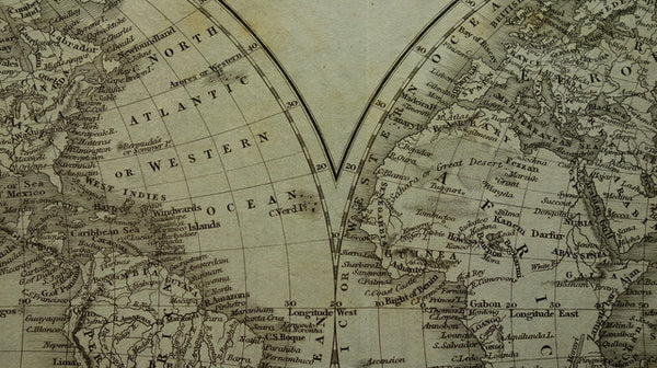
Condition: fair. Paper very browned. About five small tears in the bottom edge (largest is 2 cm). Some offsetting, see photos. Map was issued with a centerfold.
Origin: 'Atlas Universel de geographie physique, politique, ancienne et moderne' - A. Brué - Edition 1875
ORDER WITHOUT RISK At Oudekaarten.com you always order without risk. Not completely satisfied with your purchase? You can return your purchase and receive a full refund. For Dutch customers, returns are free.