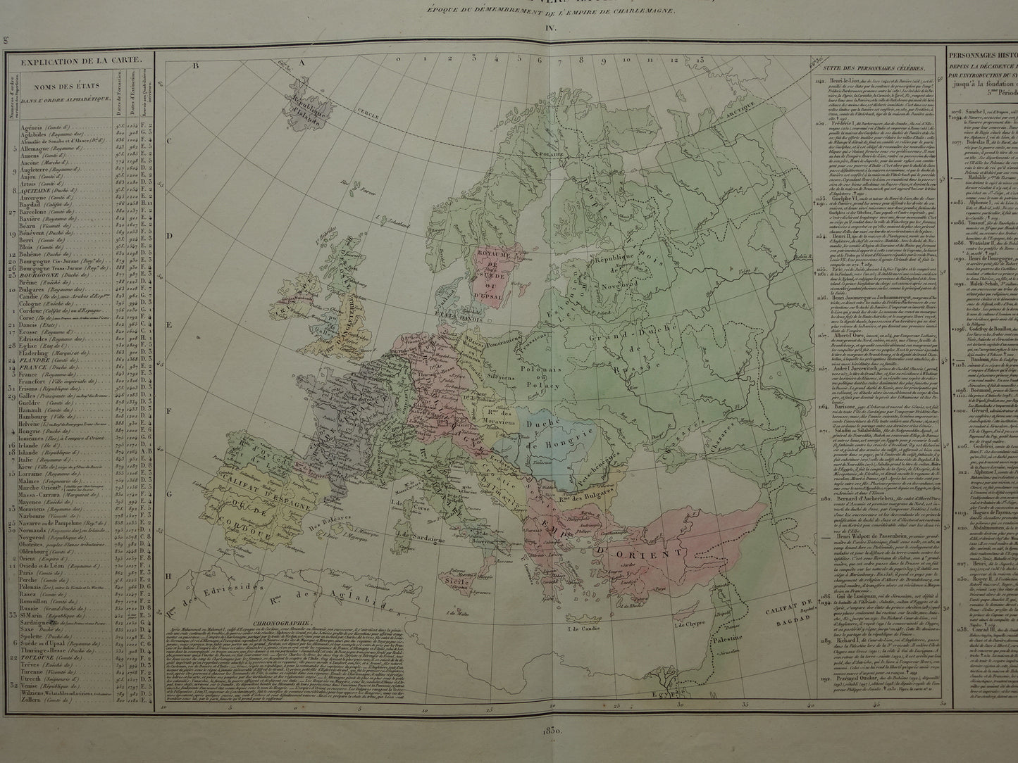
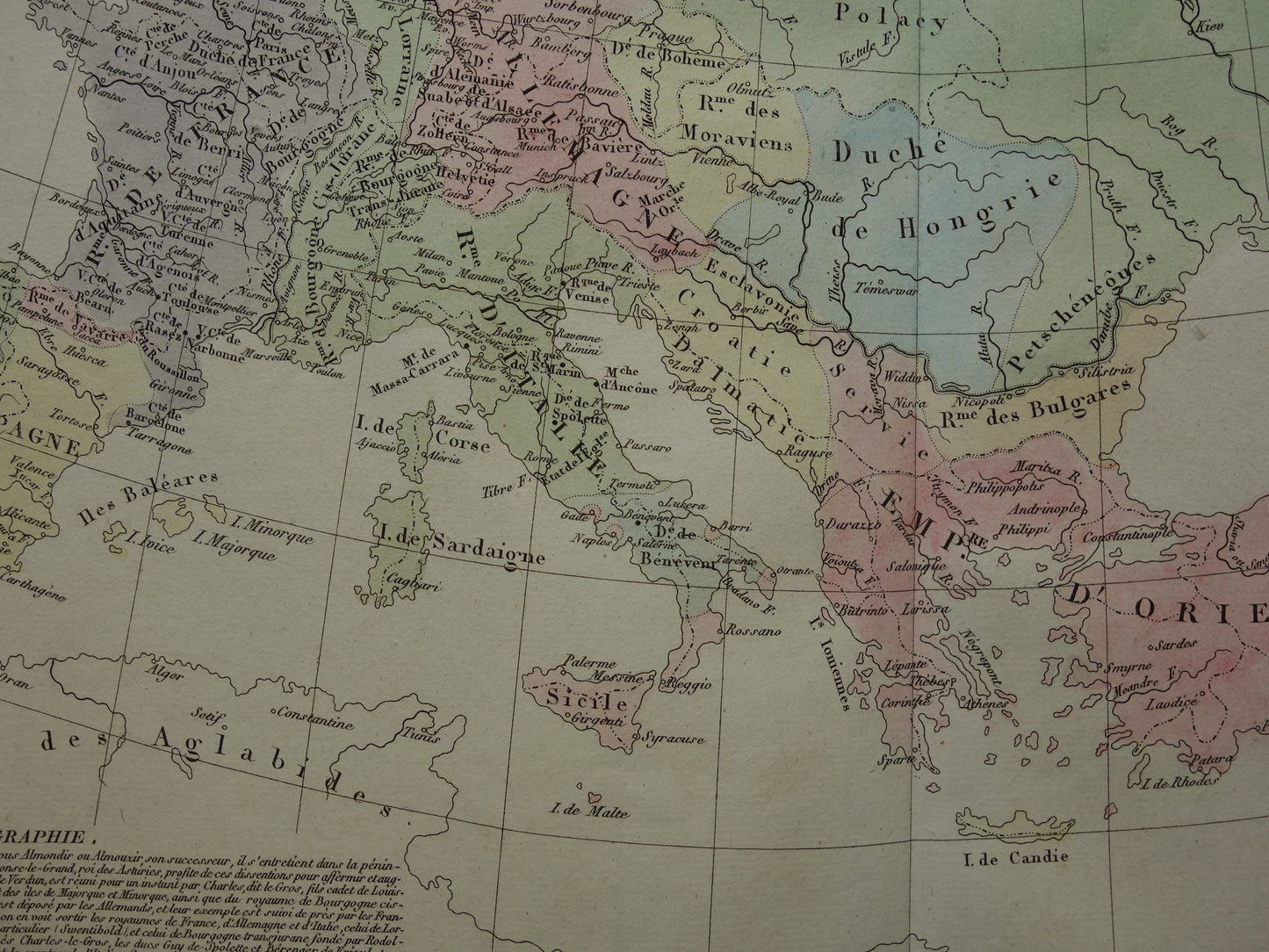
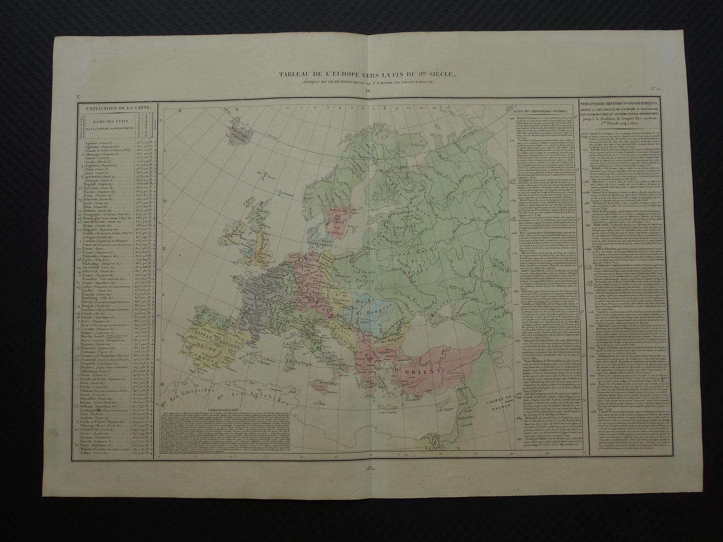
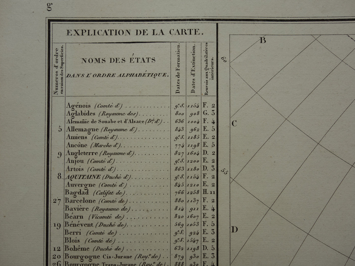
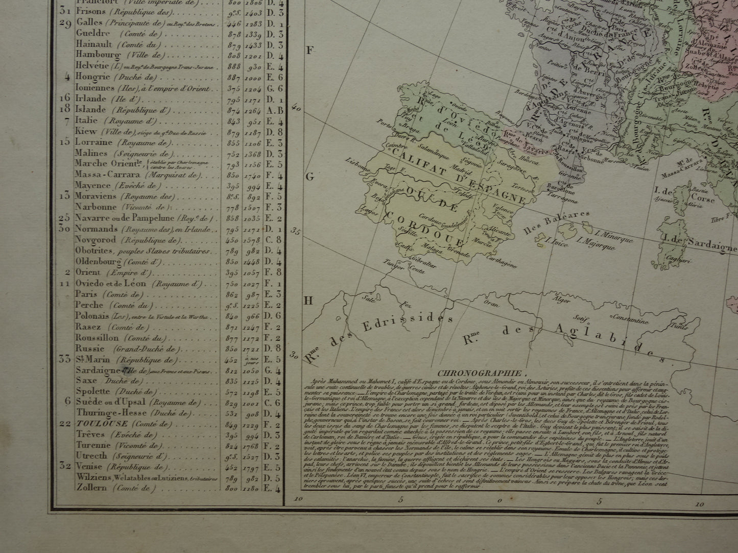
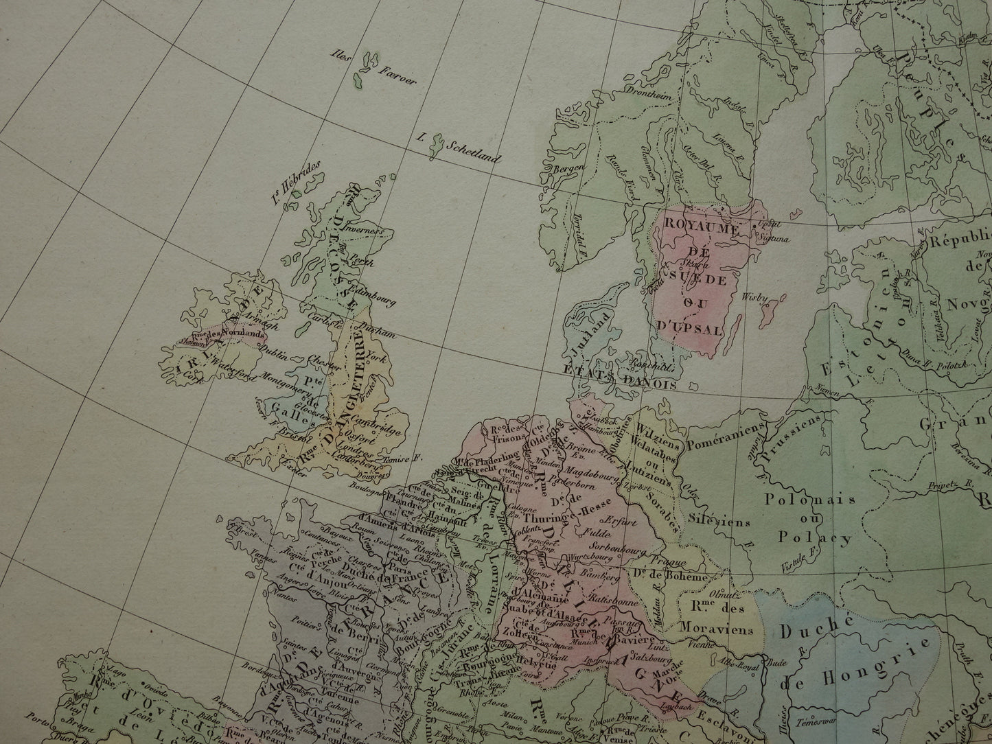
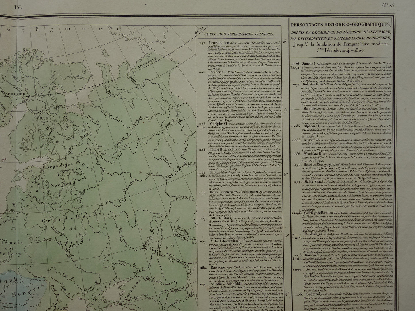
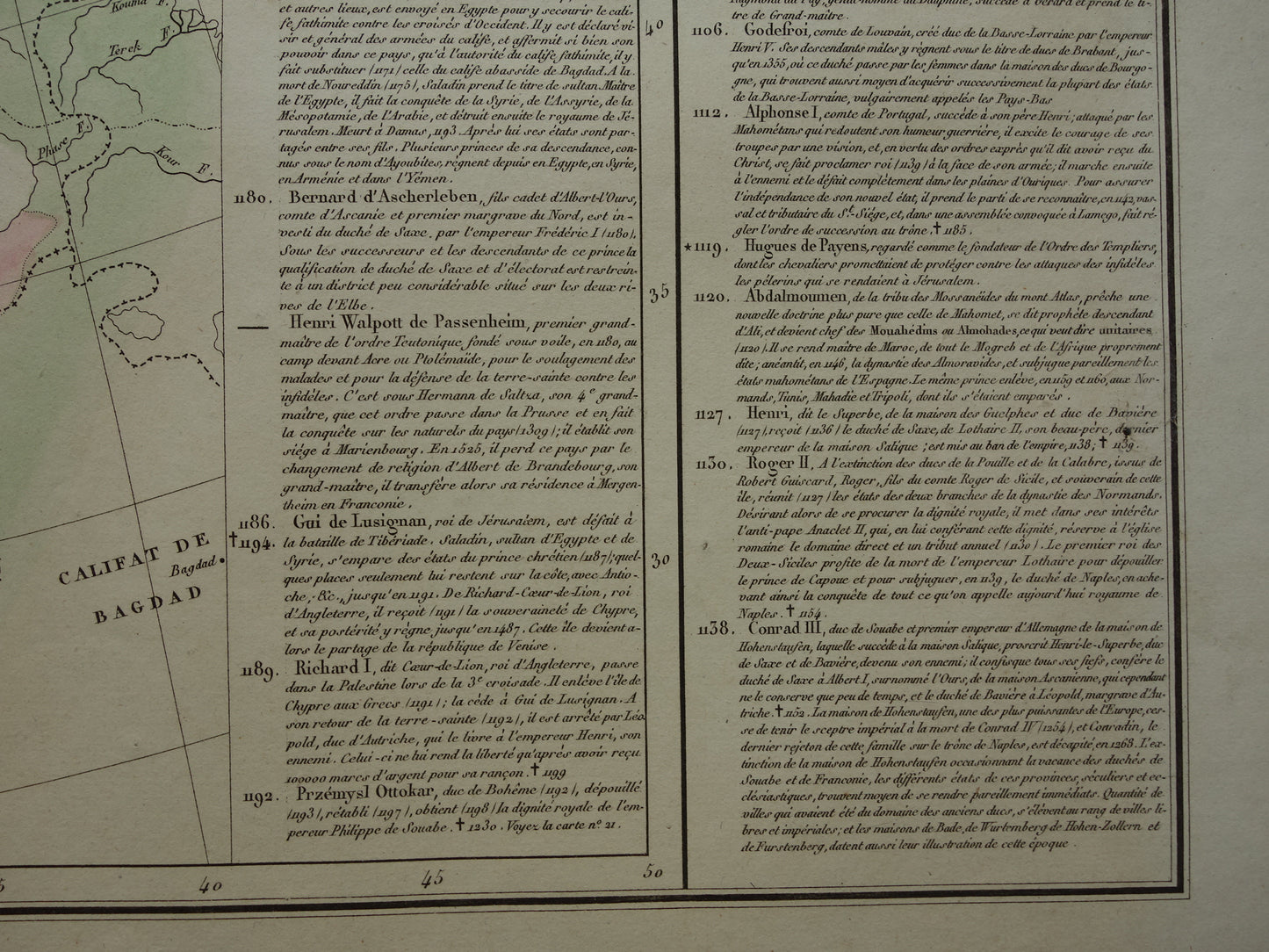
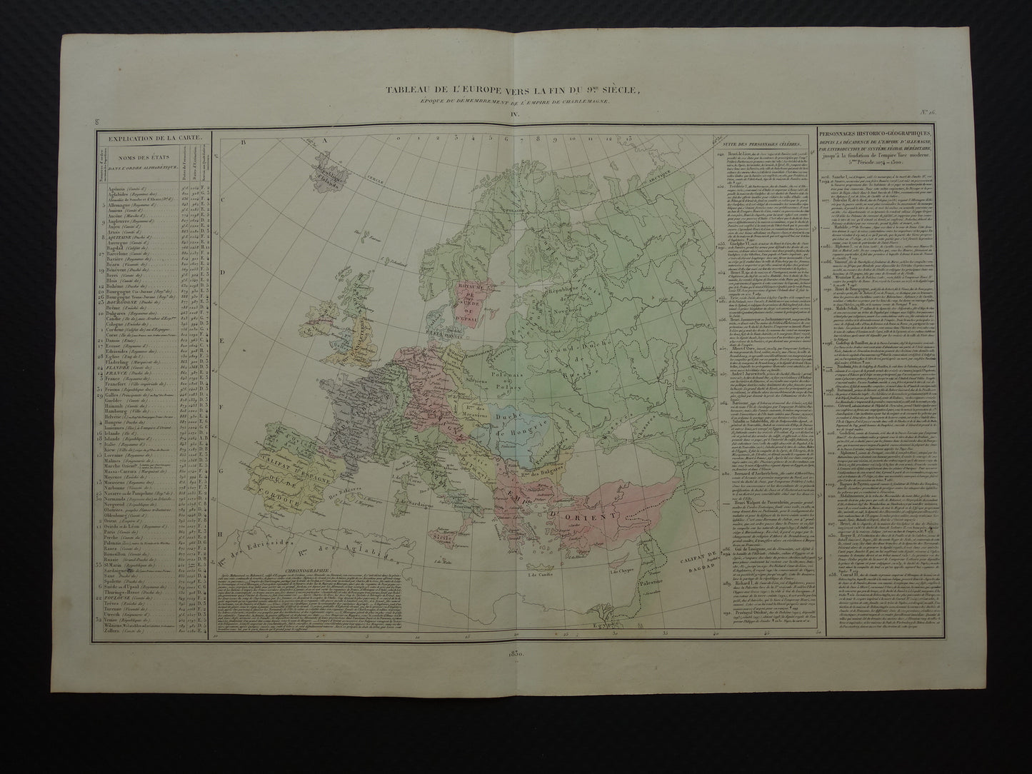
Te koop is een mooie antieke Franse kaart over de geschiedenis van Europa. De kaart laat Europa zien aan het einde van de 9e eeuw, wanneer het rijk van Karel de Grote in stukken is opgedeeld. Rondom de kaart veel historische informatie. De kaart is met de hand gekleurd.
Afmetingen: 42,5 x 59,5 cm
Conditie: in goede conditie (= wat kleine tekenen van ouderdom / gebruik, maar in goede algehele conditie). Uitgegeven met een middenvouw.
Afkomst: Atlas Historique de l'Europe - M. A. Denaix - Uitgave van 1830
BESTEL ZONDER RISICO Bij Oudekaarten.com bestelt u altijd zonder risico. Bent u niet helemaal tevreden met uw aankoop? U kunt uw aankoop gratis retourneren en krijgt dan uw volledige aankoopbedrag retour.