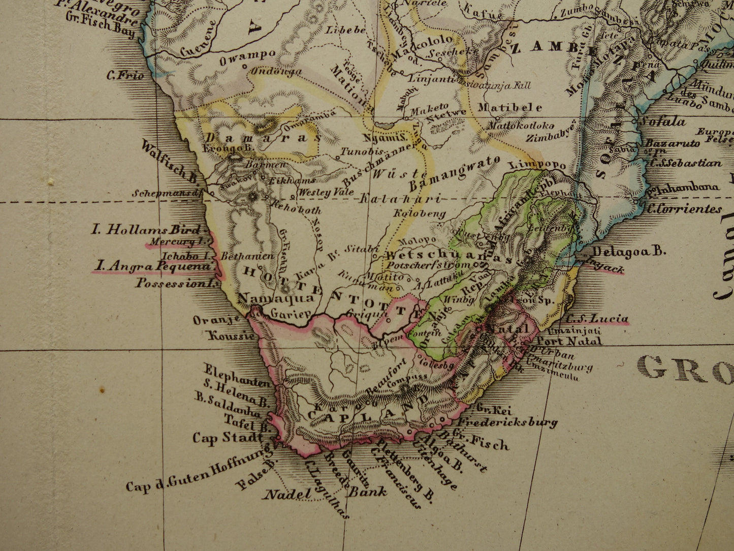
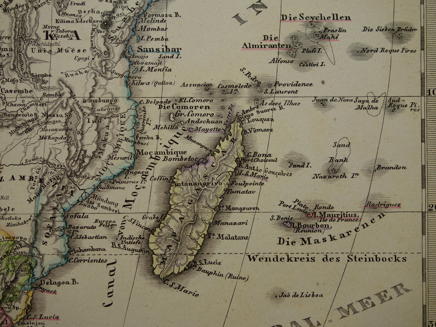
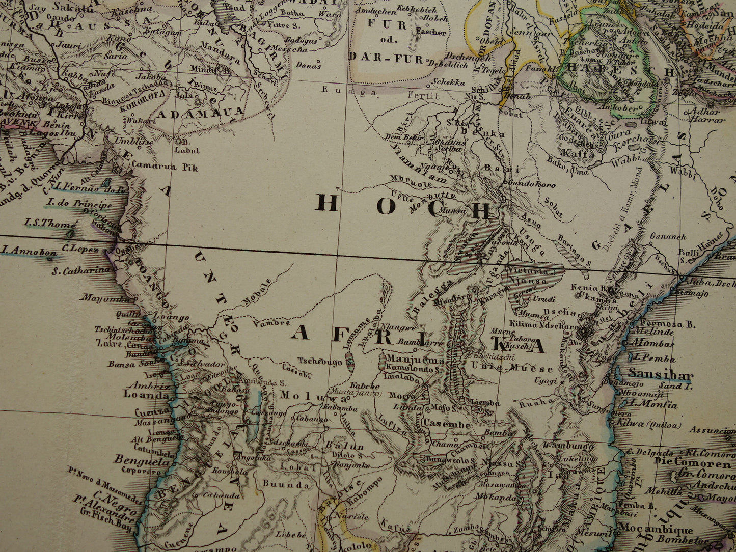
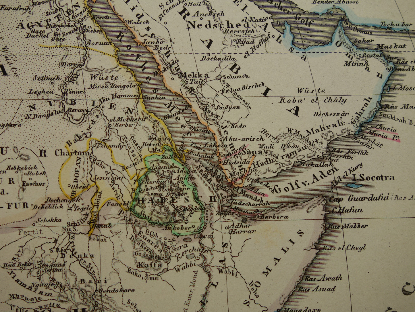
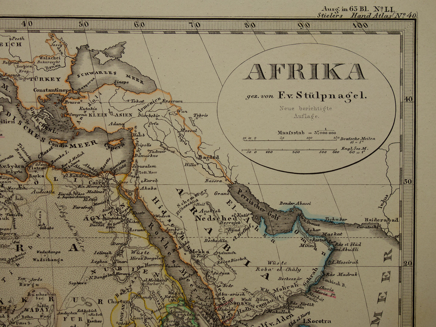
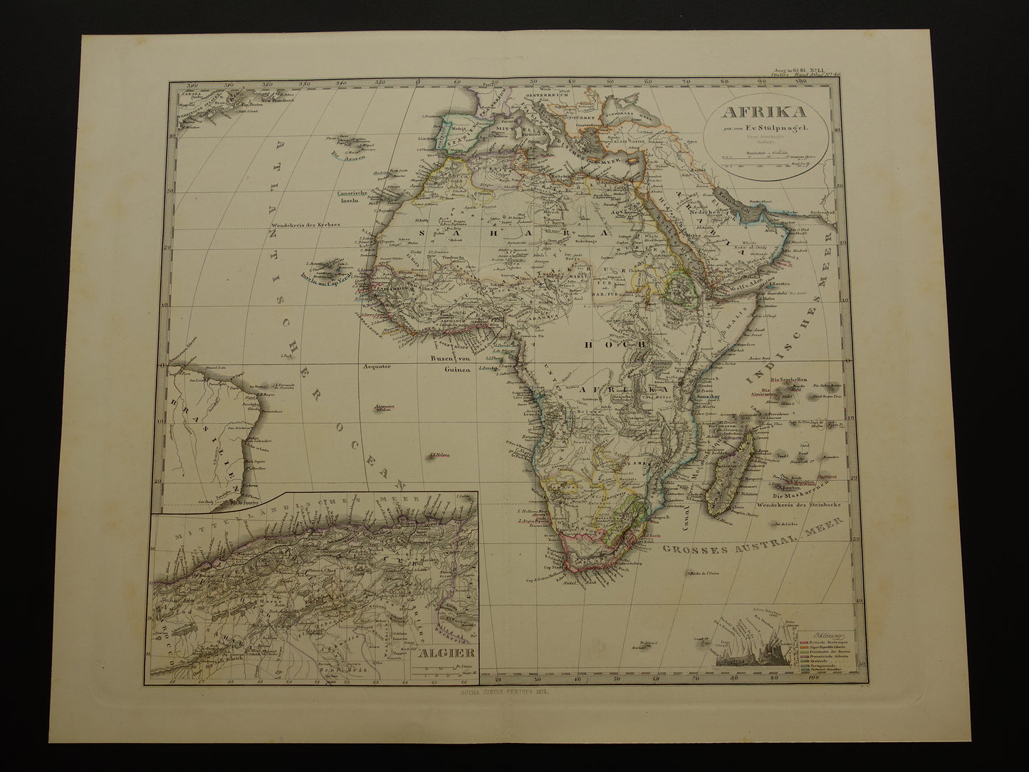
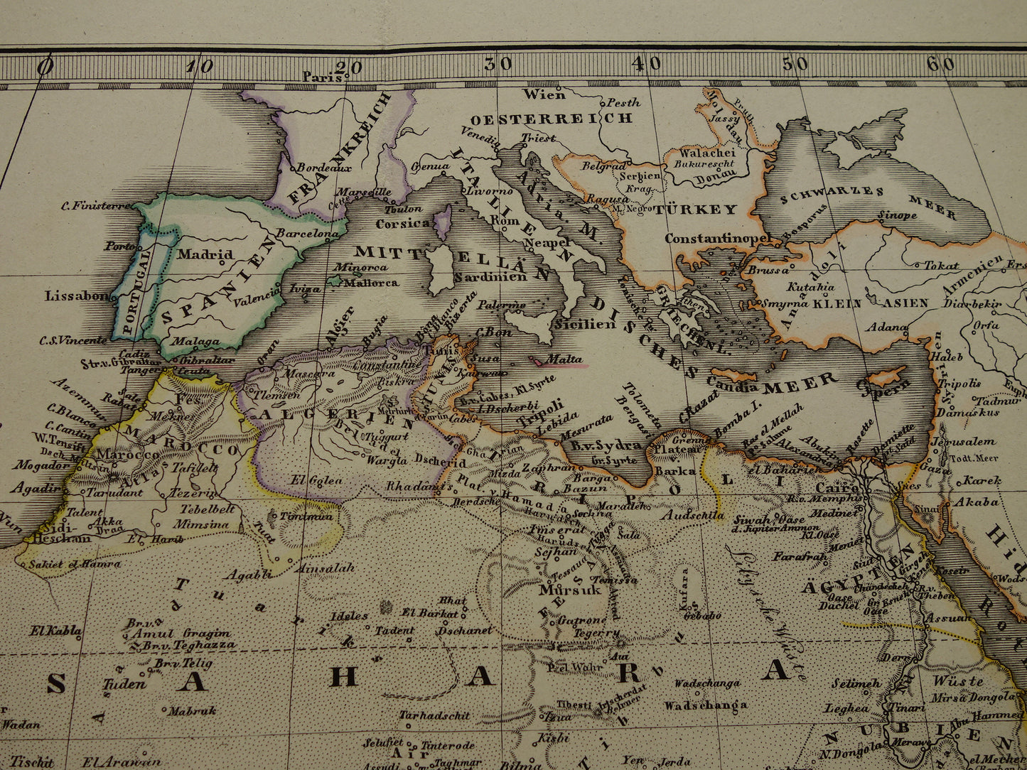
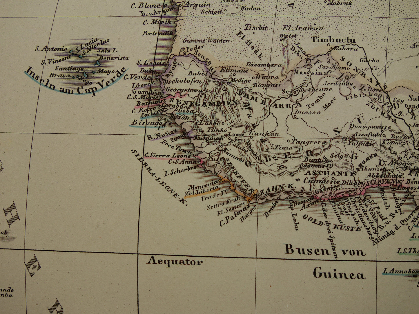
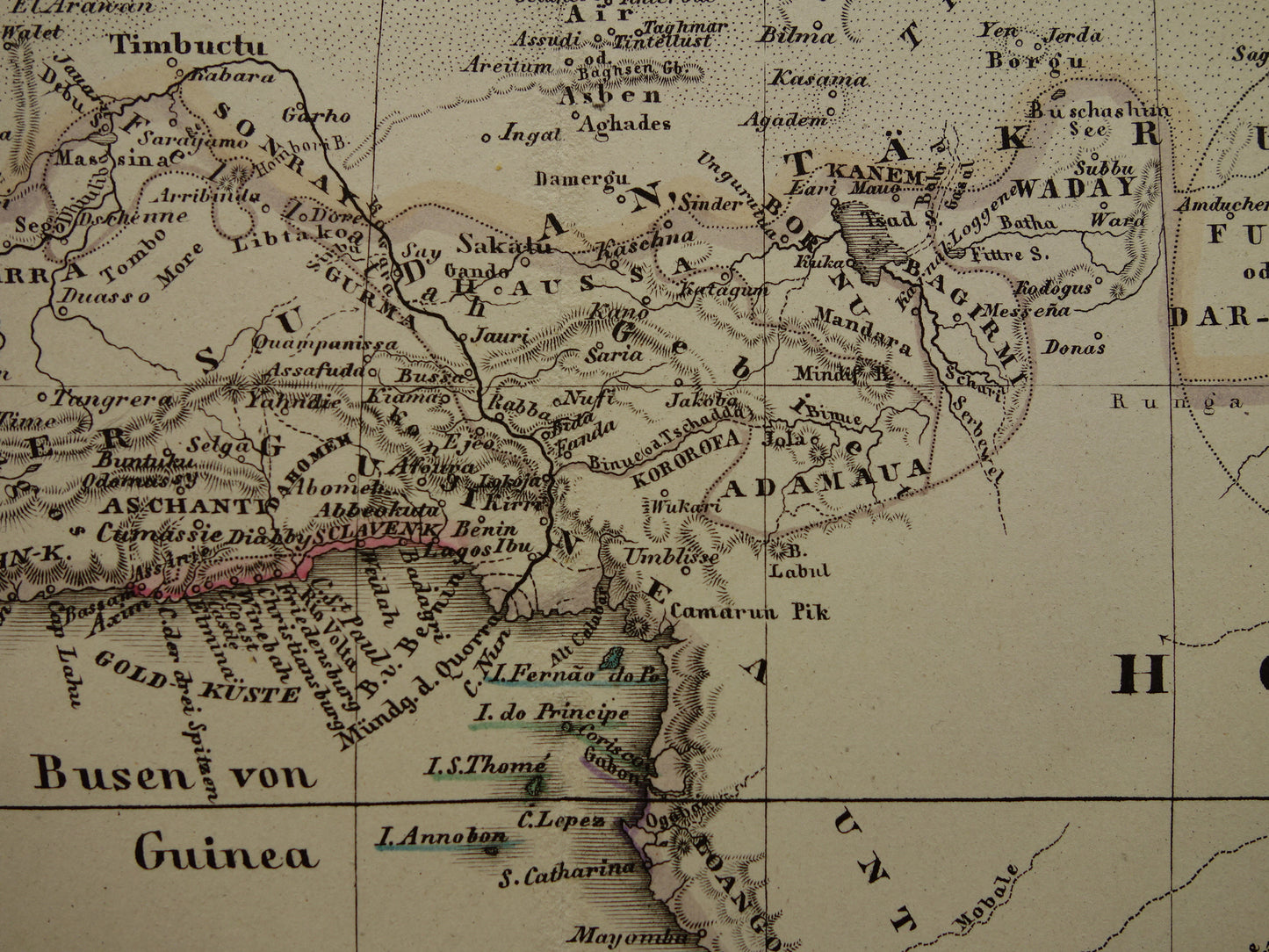
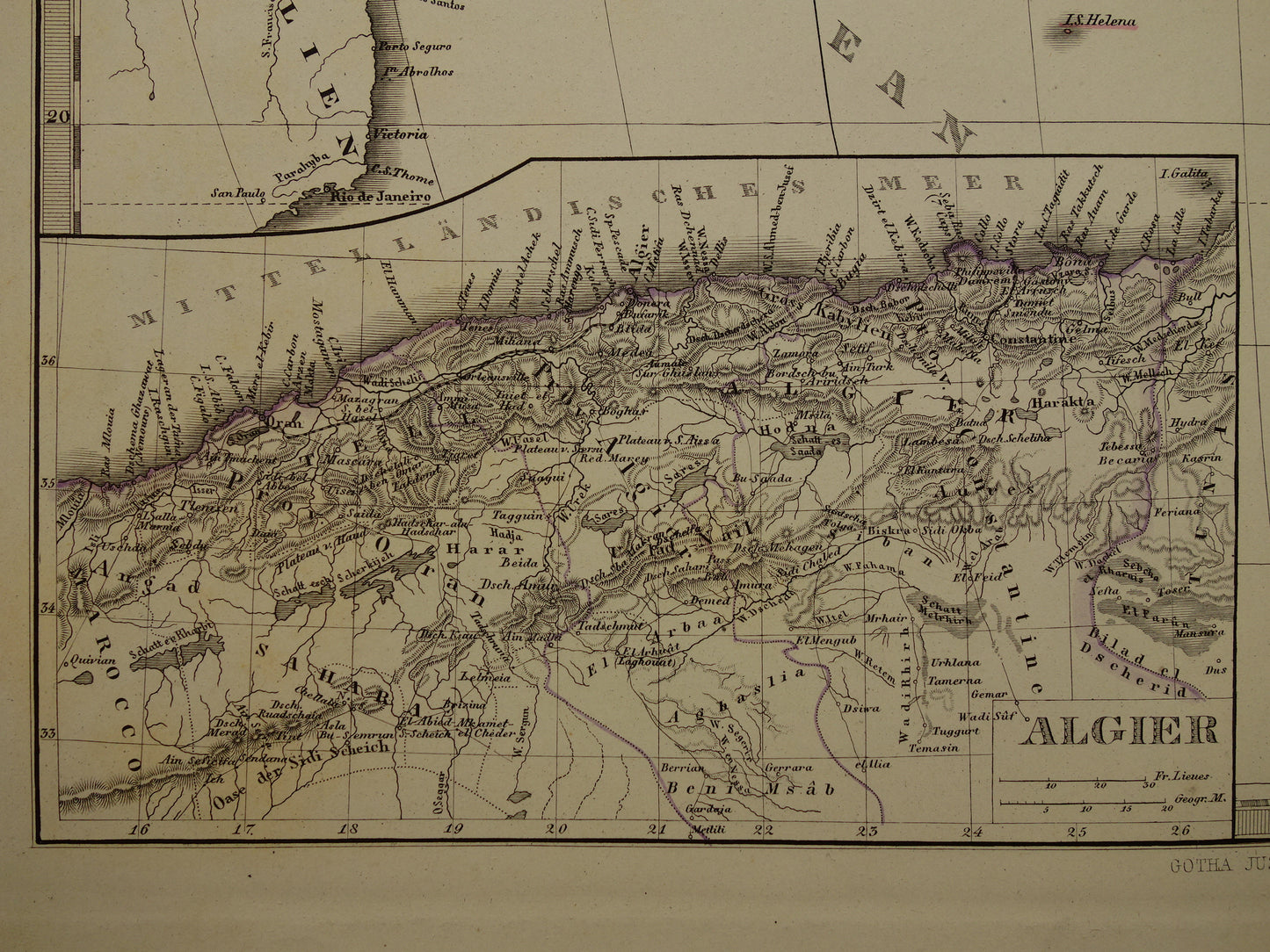
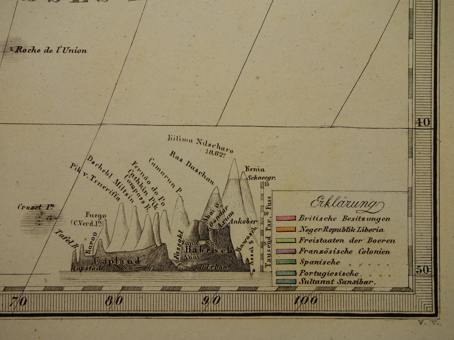
Mooie en gedetailleerde antieke Duitse kaart van Afrika in het jaar 1875. Linksonder een detailkaart van Algerije. In de rechteronderhoek staan de hoogste bergtoppen van Afrika afgebeeld. Enerzijds is de kaart erg gedetailleerd, anderzijds laten de witte vlekken op de kaart ook duidelijk zien dat nog niet het hele continent in kaart was gebracht. De kaart is een handgekleurde kopergravure. Gedrukt op zwaar papier met mooie ruime marges en zeer geschikt om in te lijsten.
Afmetingen: 36,5 x 45 cm
Conditie: goed / zeer goed. Kaart is uitgegeven met middenvouw
Afkomst: Stieler's Hand-Atlas - Uitgave van 1875
BESTEL ZONDER RISICO Bij Oudekaarten.com bestelt u altijd zonder risico. Bent u niet helemaal tevreden met uw aankoop? U kunt uw aankoop gratis retourneren en krijgt dan uw volledige aankoopbedrag retour.