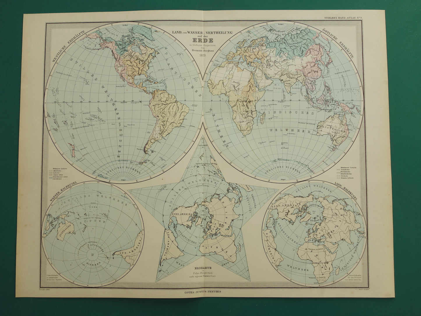
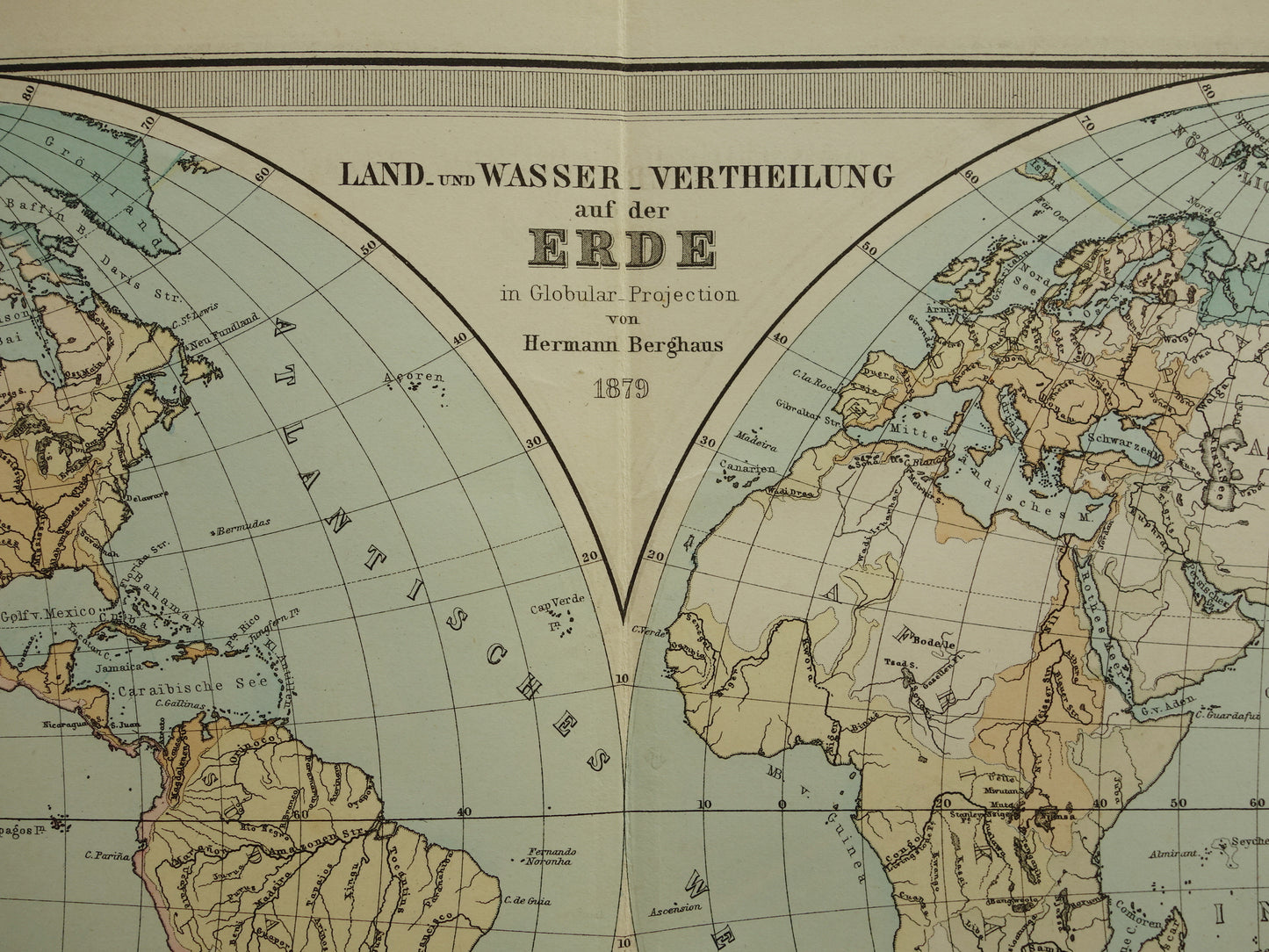
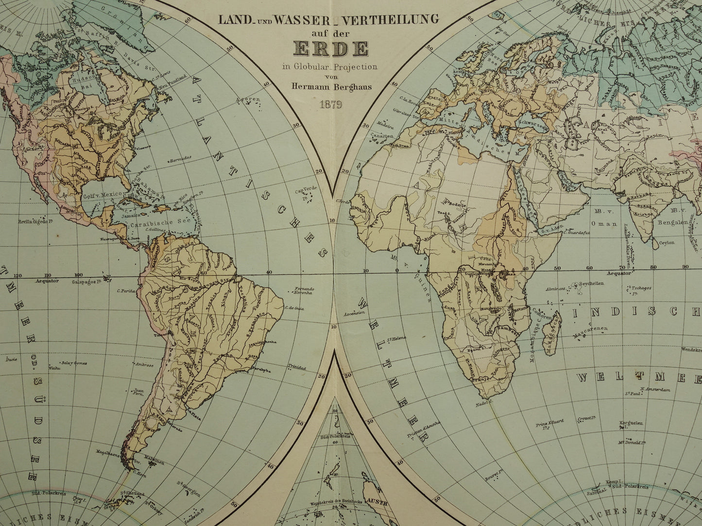
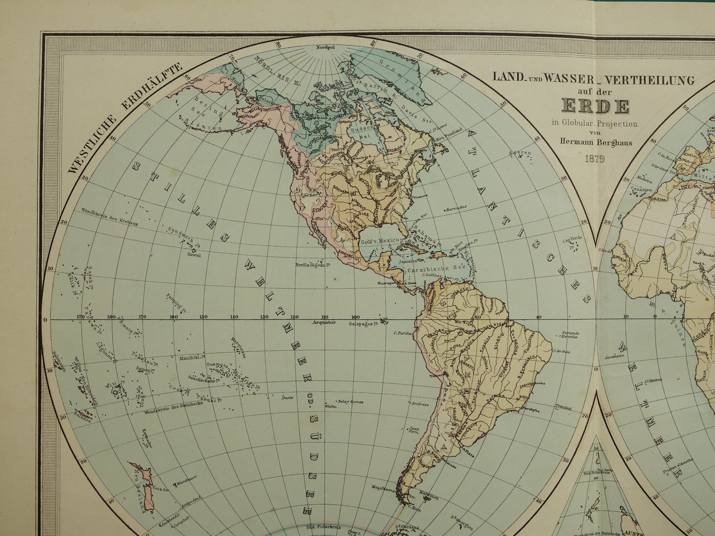
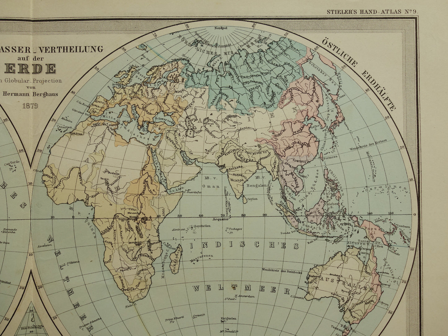
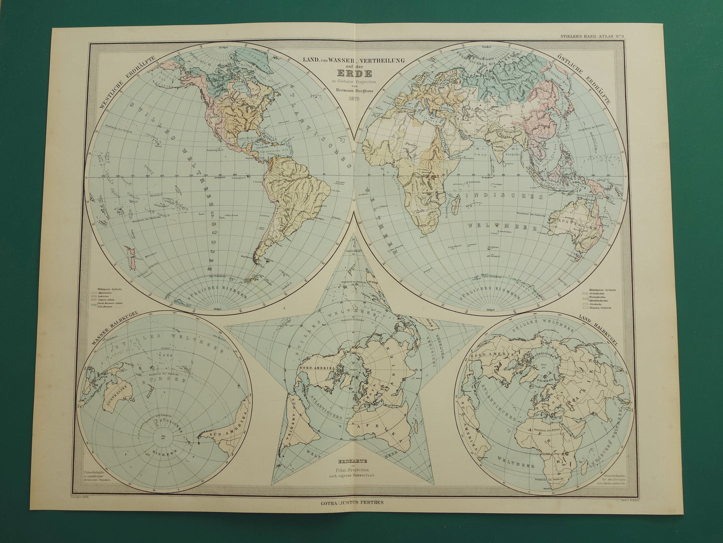
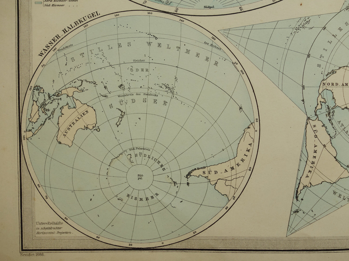
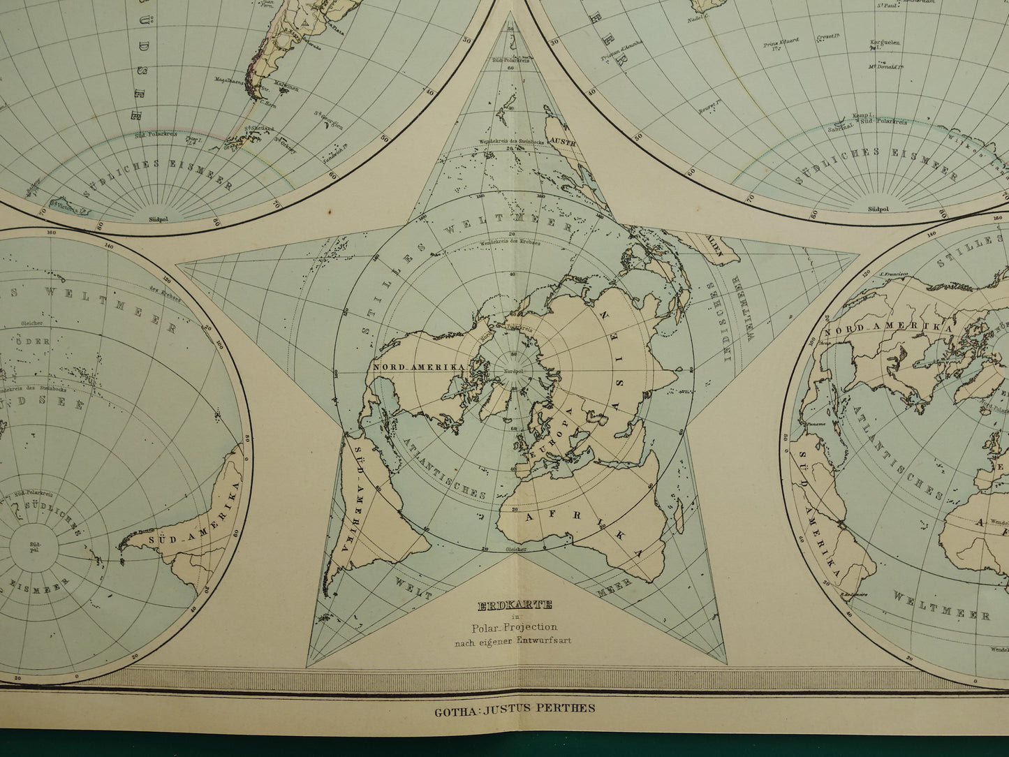
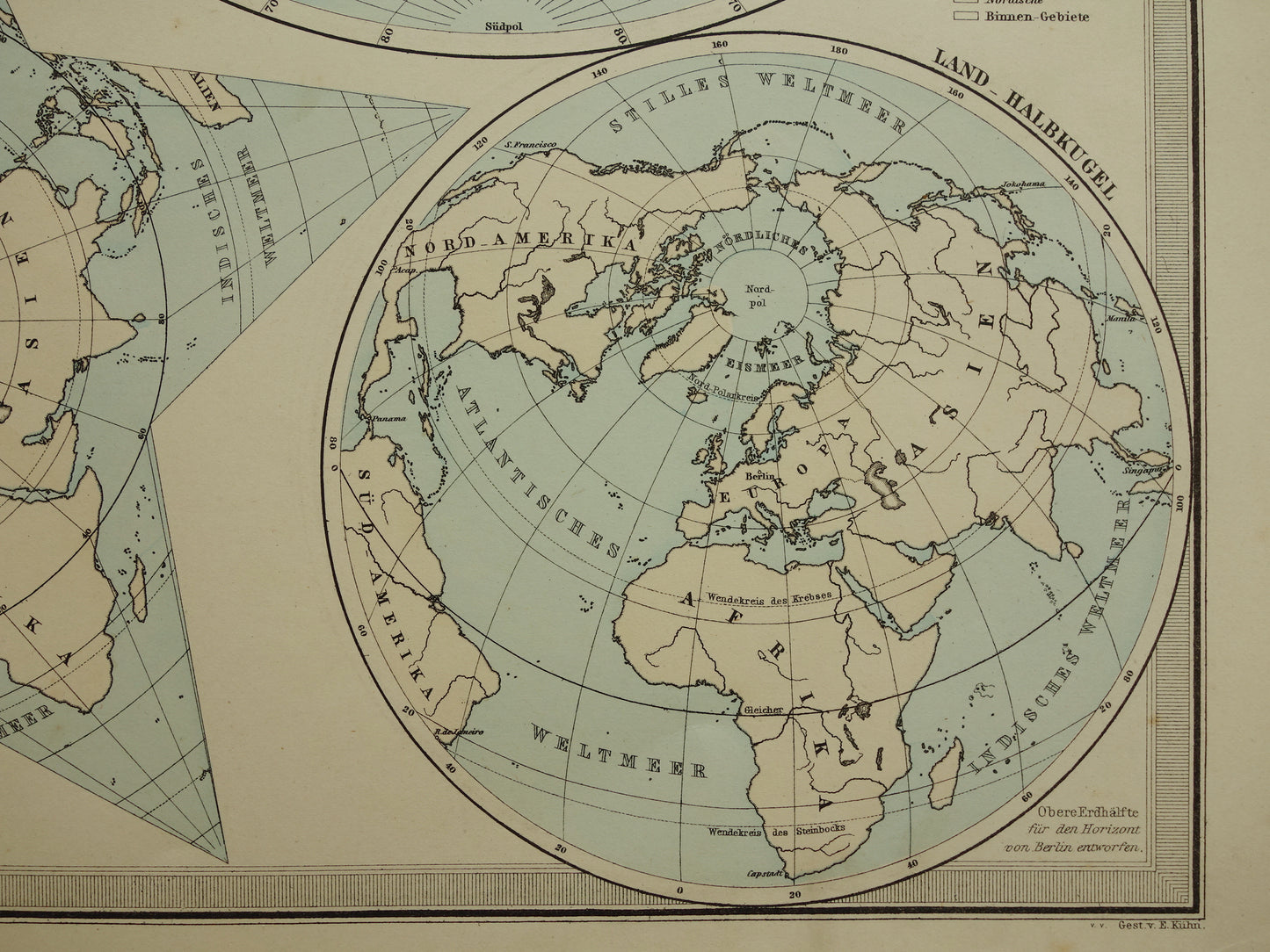
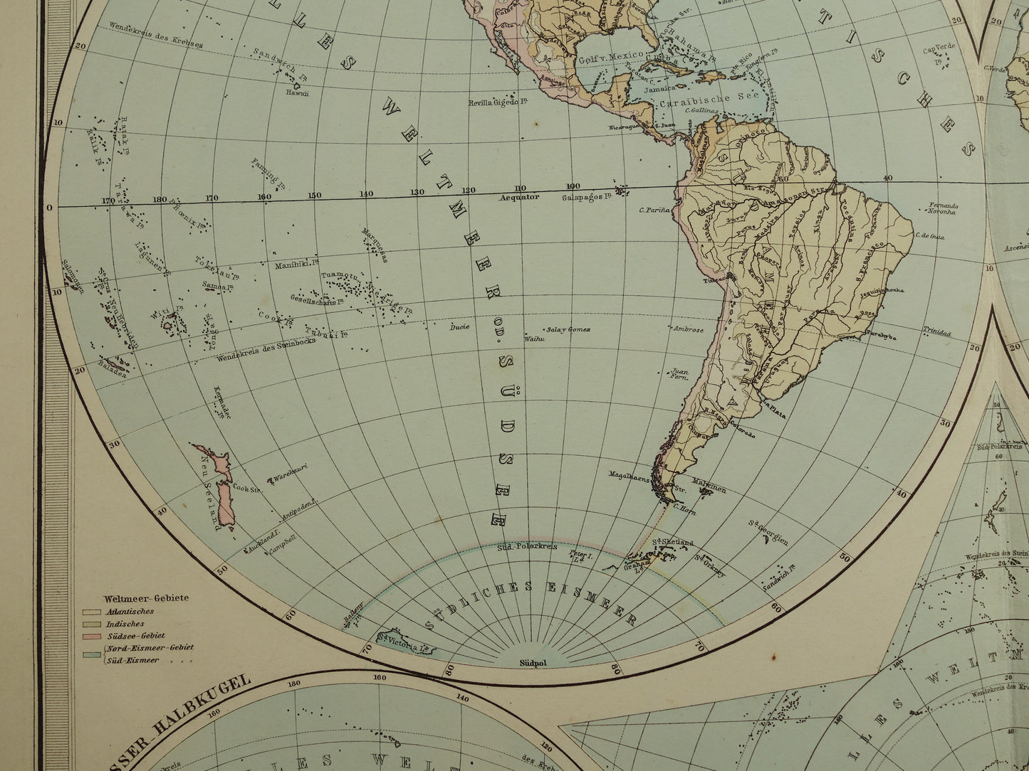
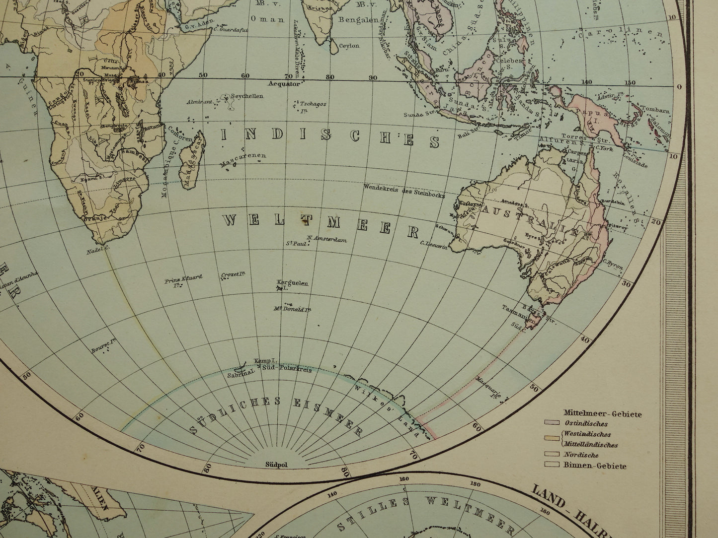
Te koop is een mooie grote antieke Duitse wereldkaart met een dubbele hemisfeer projectie. Deze informatieve kaart laat de grenzen van de verschillende oceanen zien (de grenzen zijn gekleurd) en laat ook zien in welke oceaan neerslag op het land uiteindelijk uitmondt. Linksonder staat het halfrond met het grootste wateroppervlak, rechtsonder het halfrond met de grootste landmassa. Daartussen een projectie van het aardoppervlak met als centrum de noordpool. Het jaartal 1879 staat in de titel. De kaart is gedrukt in 1886, dit staat ook klein gedrukt linksonder de kaart.
Afmetingen: 36,5 x 47 cm
Conditie: goed (= wat kleine tekenen van ouderdom/gebruik). Gedrukt op zwaar papier. Uitgegeven met middenvouw.
Afkomst: Stieler's Hand-Atlas - Uitgave 1886
BESTEL ZONDER RISICO Bij Oudekaarten.com bestelt u altijd zonder risico. Bent u niet helemaal tevreden met uw aankoop? U kunt uw aankoop gratis retourneren en krijgt dan uw volledige aankoopbedrag retour.