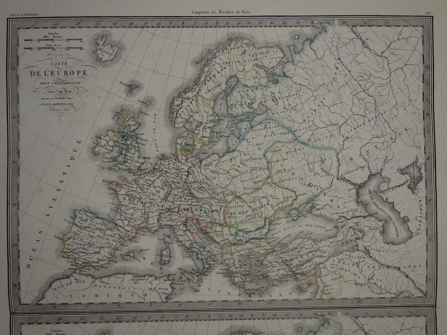
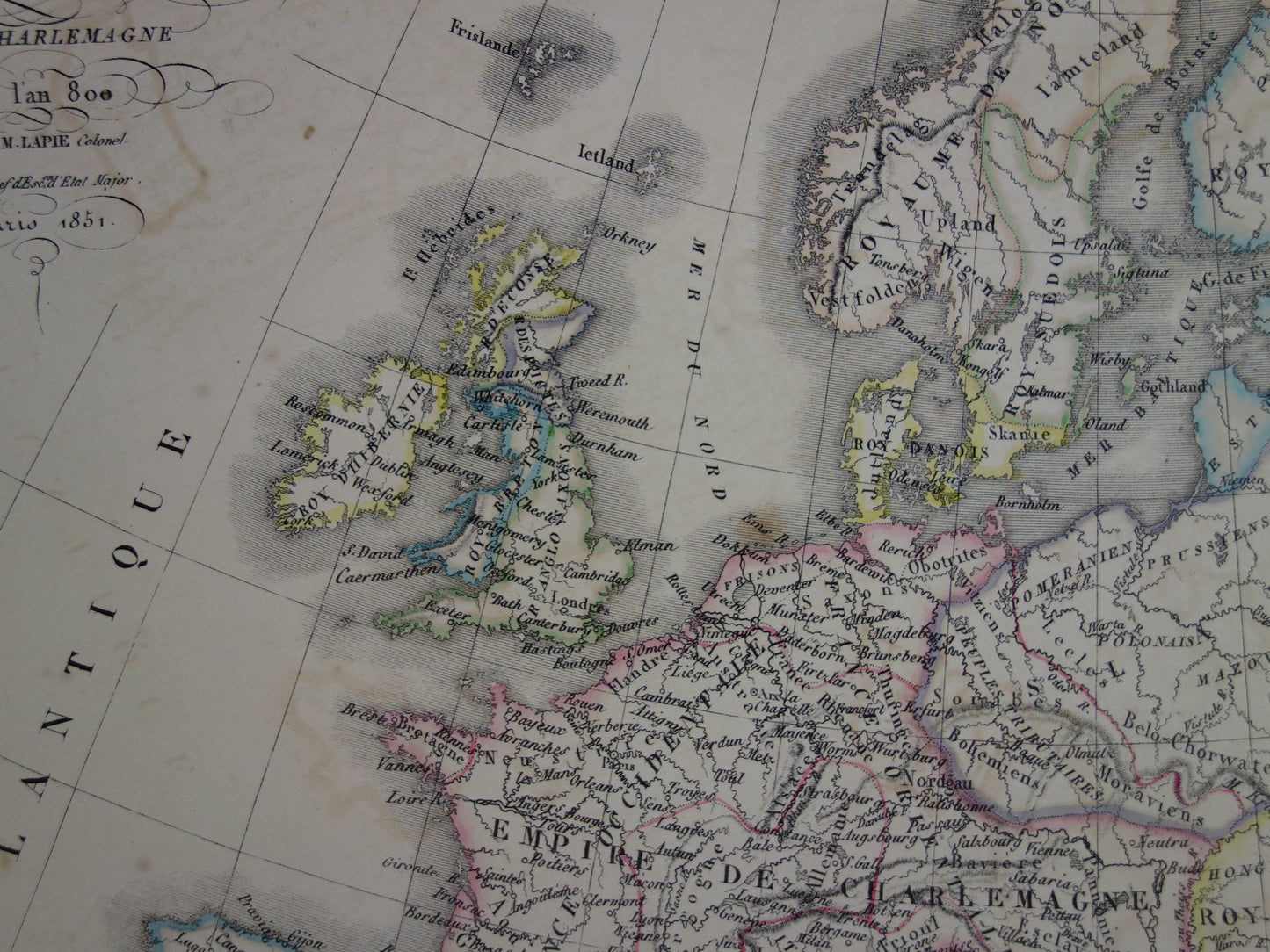
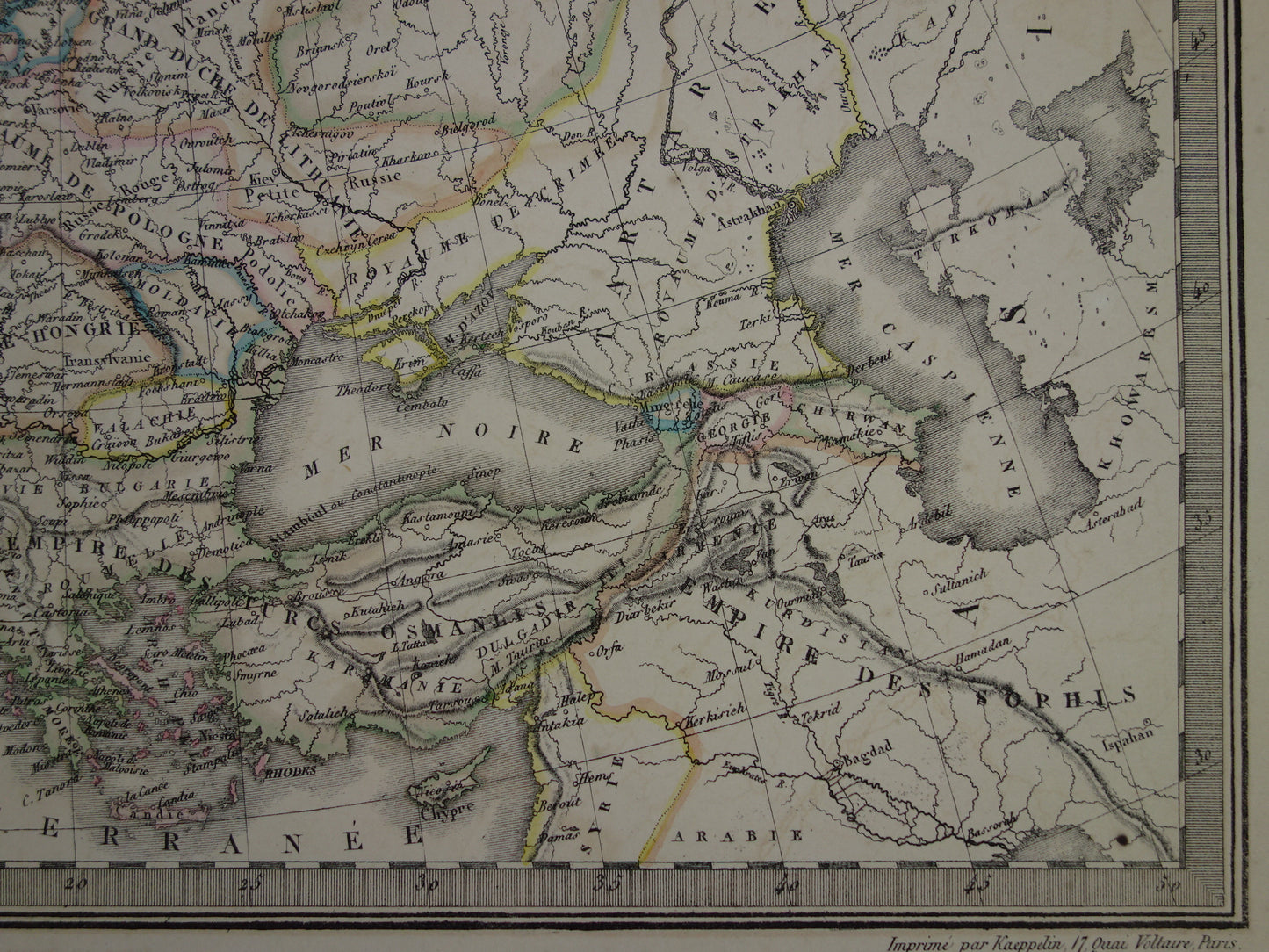
Te koop is een mooie antieke Franse kaart over de geschiedenis van Europa. De kaarten laten Europa zien in het jaar 800 (ten tijde van Karel de Grote) en in het jaar 1500 (ten tijde van Karel V). De kleurrijke en gedetailleerde kaarten zijn met de hand ingekleurde kopergravures.
Afmetingen: 51 x 69 cm
Conditie: in goede conditie (= kleine tekenen van ouderdom / gebruik - vochtrandje langs bovenrand en onderrand - klein scheurtje van 1 cm in onderste marge - in goede algehele conditie). Uitgegeven met een middenvouw. Gedrukt op zwaar papier.
Afkomst: Atlas universel de geographie ancienne et moderne - M. Lapie - Uitgave van 1851
BESTEL ZONDER RISICO Bij Oudekaarten.com bestelt u altijd zonder risico. Bent u niet helemaal tevreden met uw aankoop? U kunt uw aankoop gratis retourneren en krijgt dan uw volledige aankoopbedrag retour.