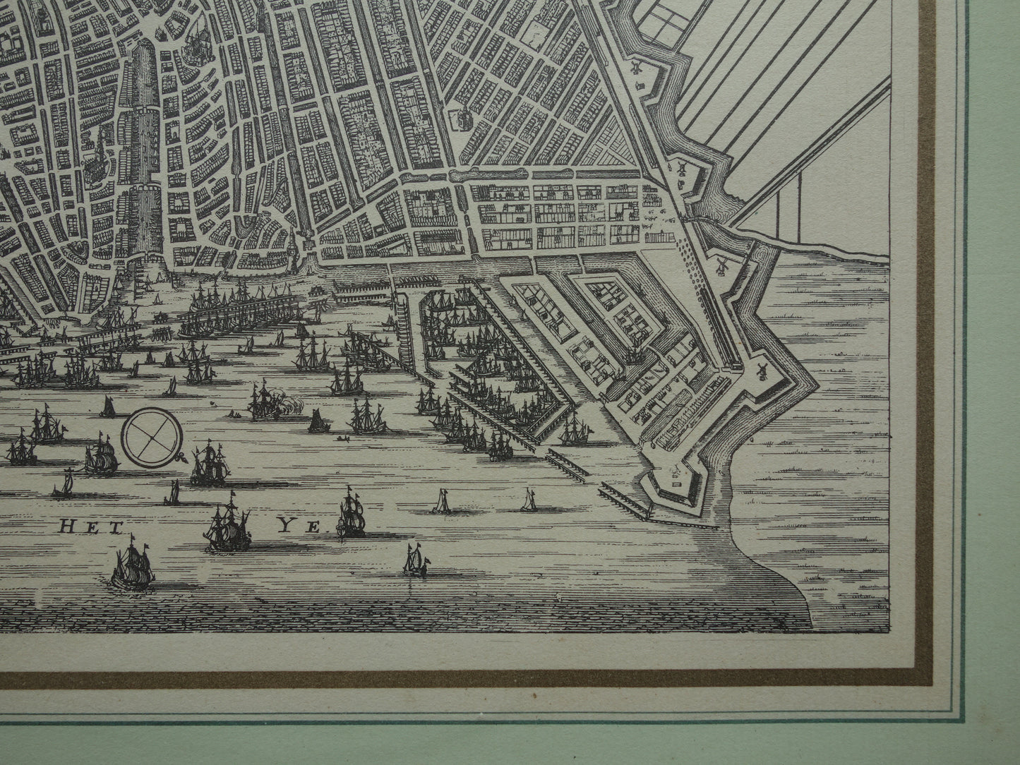
Skip to product information
1 of 9

Oudekaarten.com

AMSTERDAM old map of Amsterdam in the 17th century EMPIRE 'Amsterdam with the explanation of the year 1613' Dapper Van Meurs map

AMSTERDAM old map of Amsterdam in the 17th century EMPIRE 'Amsterdam with the explanation of the year 1613' Dapper Van Meurs map

Regular price €34,95
Regular price Sale price €34,95
Sale Sold out
Shipping calculated at checkout.

For sale is a framed map of Amsterdam in the 17th century (after the expansion of 1613) . This map was published in 1663 by Van Meurs/Dapper in "Historische beschryving van de Stadt Amsterdam." This copy is a beautiful modern reprint of it, dating from the 1670s or 1680s.

Dimensions: 30.5 x 36.5 cm (frame dimensions)

Condition: good / very good.

Please note: For international customers, a shipping surcharge may apply for this card.


ORDER WITHOUT RISK
At Oudekaarten.com, ordering is always risk-free. Not completely satisfied with your purchase? You can return it and receive a full refund. Returns are free for Dutch customers.


View full details
  • Guaranteed original

    We sell only original antique and vintage maps. We guarantee that your purchase was made on or around the date stated in the description.

  • Fast shipping

    We will ship your order the next business day at the latest. Free shipping within the Netherlands when purchasing 2 cards. Click here for more information

"Beautiful card, exactly as described. Fast shipping and the card was packaged perfectly. Great transaction, thank you very much!"

ANNE ESCHER