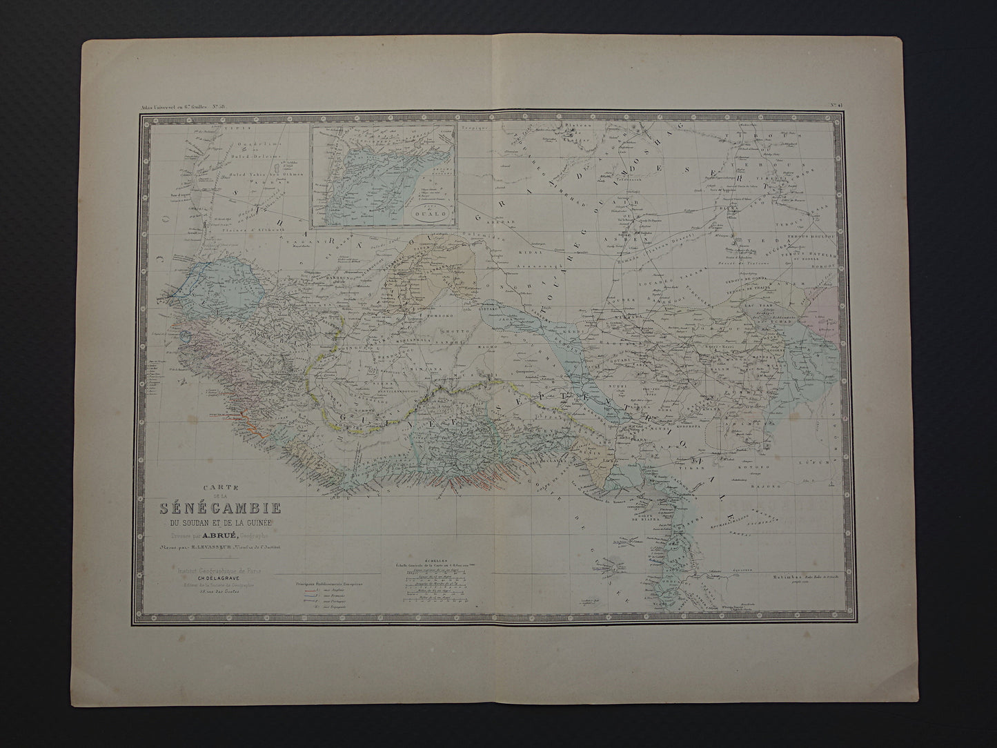
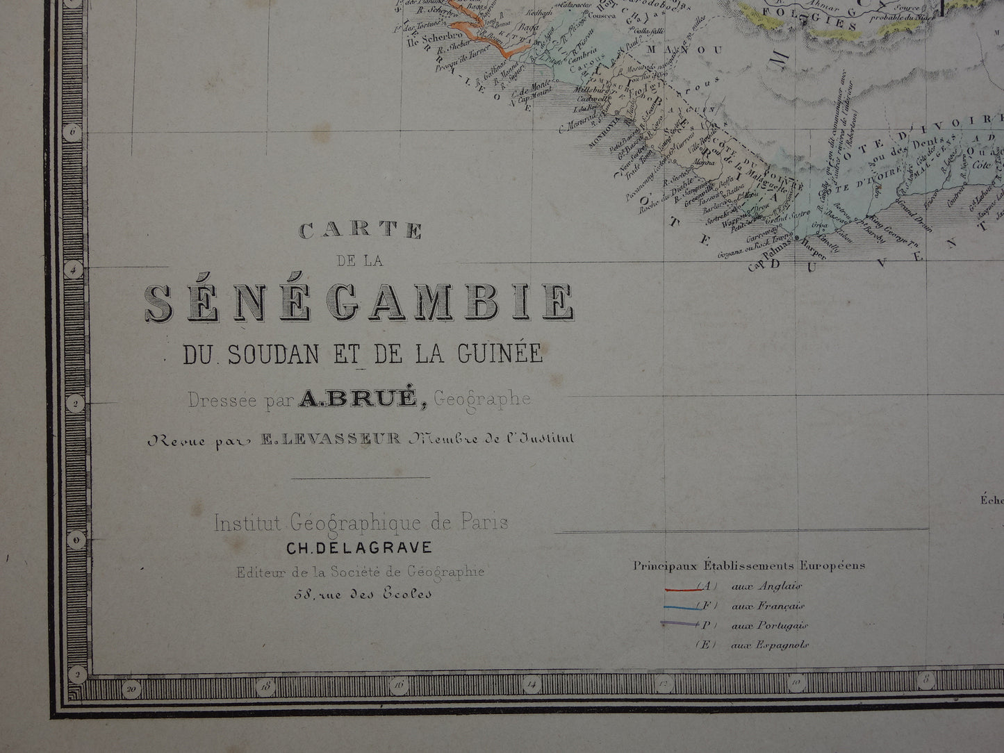
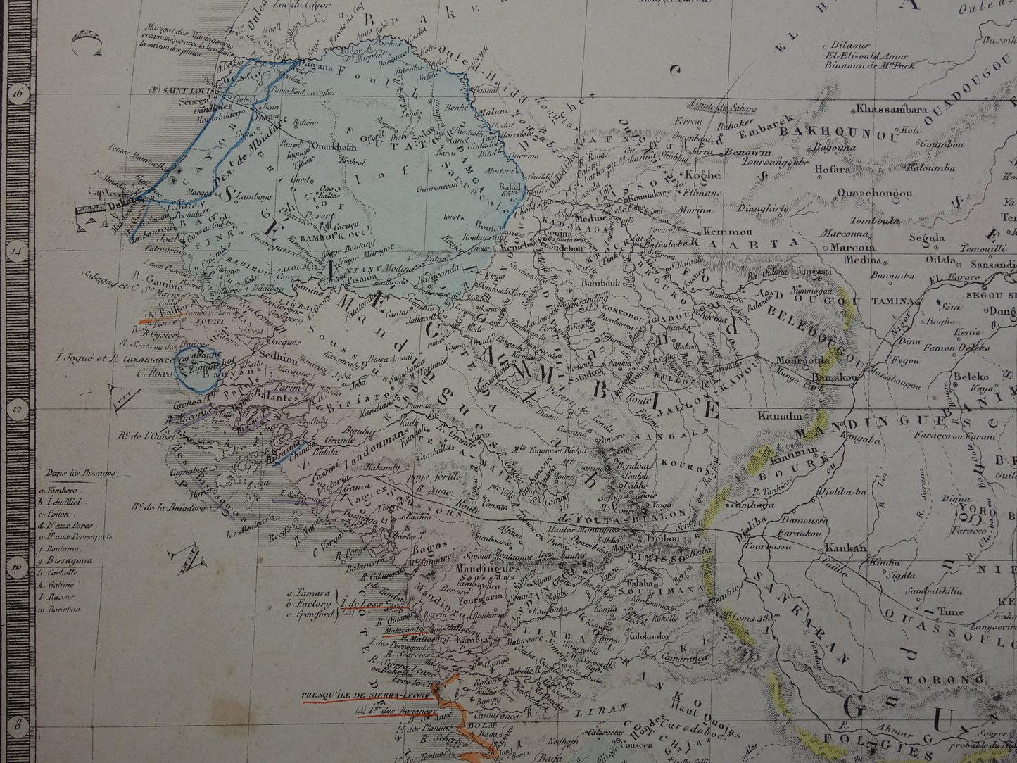
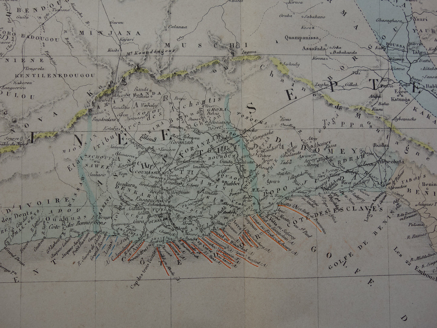
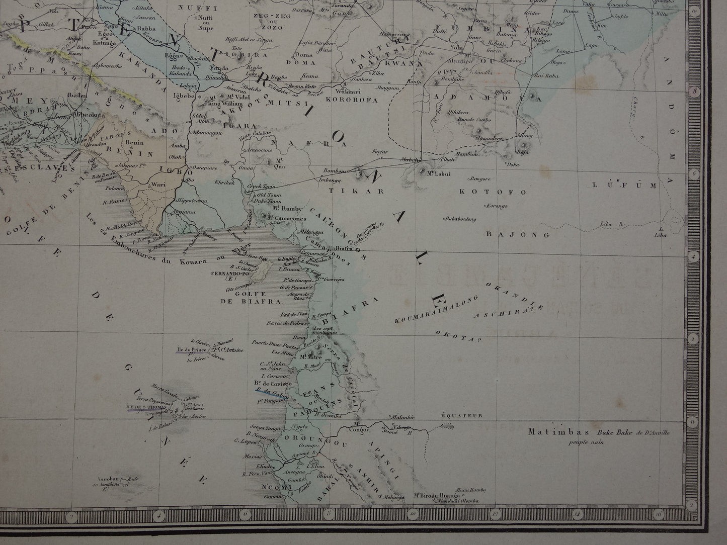
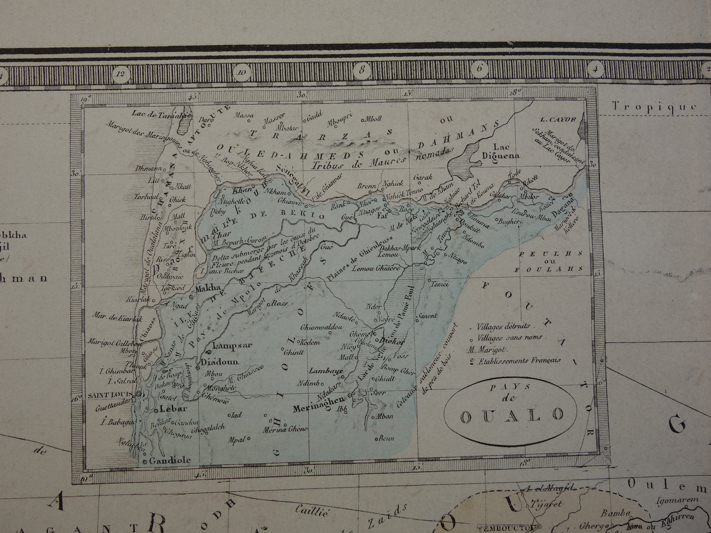
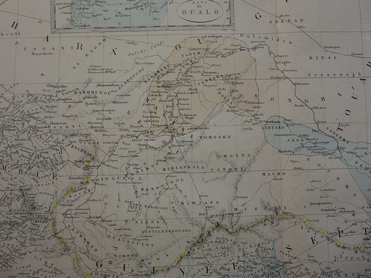
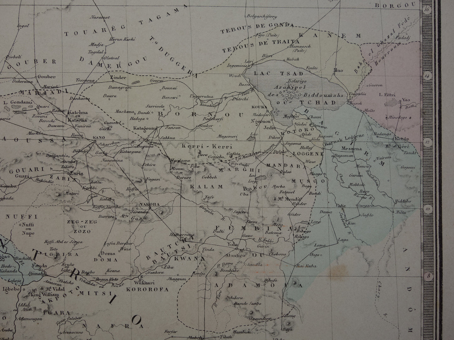
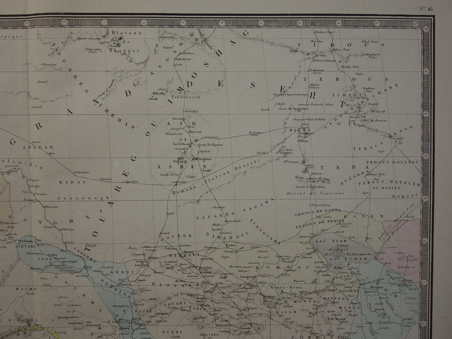
Te koop is een mooie, antieke kaart van West-Afrika. Linksboven een inzetkaart van het Waalo / Oualo gebied (een voormalig koninkrijk). Zoom de foto's om de details van de kaart goed te zien. De kaart is een handgekleurde gravure. Mooie ruime marges en heel mooi om in te lijsten.
Afmetingen: 48 x 60 cm
Conditie: het papier is wat gebruind door ouderdom en heeft ook wat ouderdomsvlekken - verder in prima staat.
Afkomst: 'Atlas Universel De Geographie Physique, Politique, Ancienne Et Moderne' - A. Brué - Uitgave van 1876
BESTEL ZONDER RISICO Bij Oudekaarten.com bestelt u altijd zonder risico. Bent u niet helemaal tevreden met uw aankoop? U kunt uw aankoop gratis retourneren en krijgt dan uw volledige aankoopbedrag retour.