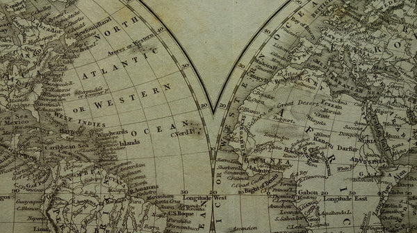
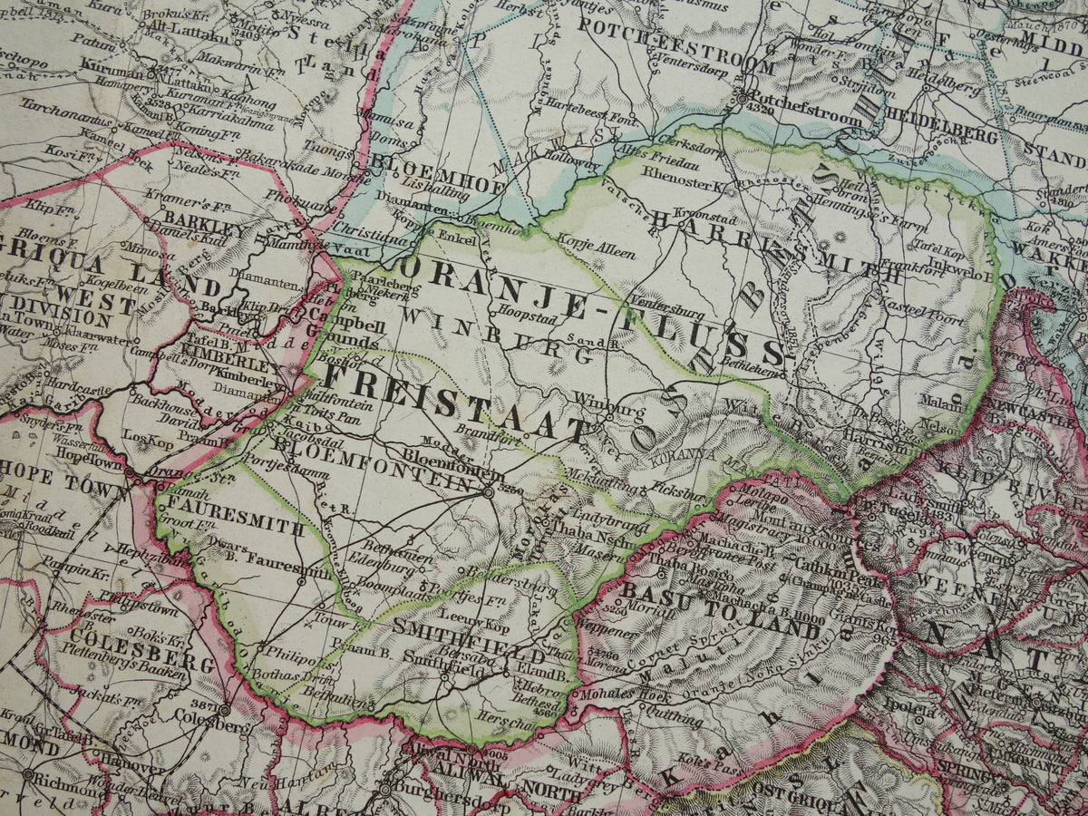
Beautiful antique map of Southern Africa in 1886 (the year is printed in small text at the bottom left of the map), with the Cape Colony, Orange Free State, and the South African Republic (Transvaal). The map clearly shows that large parts of the continent had not yet been charted at that time (the large white areas at the top). Beautiful, ample margins and very suitable for framing.
Dimensions: 36 x 46 cm
Condition: good (= a few small signs of age/use - the paper has brown age spots, mainly in and around the margins, please see the photos - otherwise very good). The map was issued with a center fold.
Origin: Stieler's Hand-Atlas - 1886 Edition
ORDER RISK-FREE At Oudekaarten.com you always order risk-free. Are you not completely satisfied with your purchase? You can return your purchase and receive a full refund. Returns are free for Dutch customers.