1
/
of
8
Oudekaarten.com
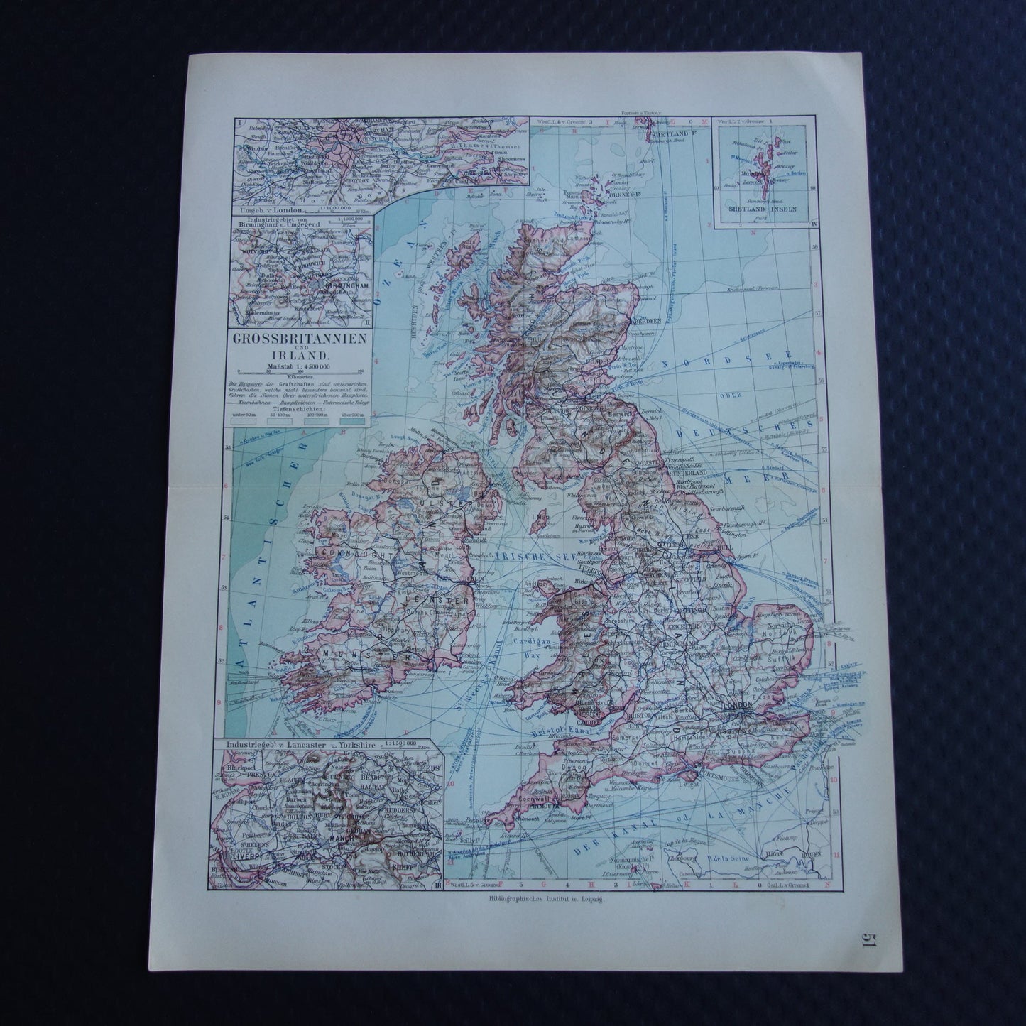
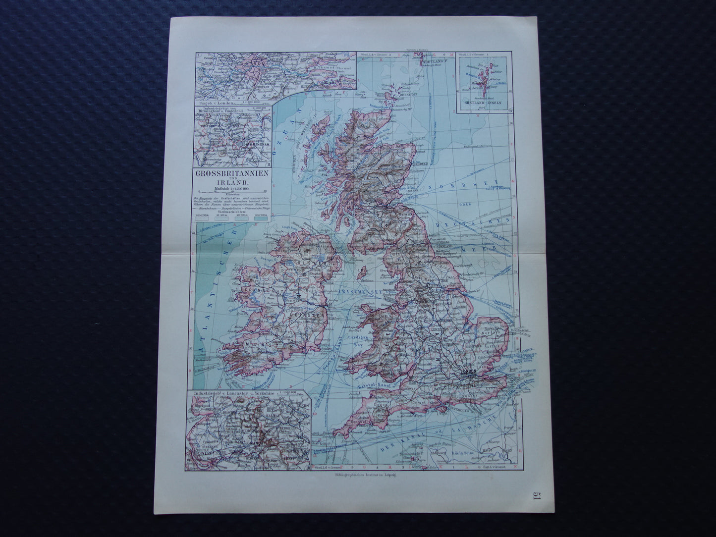
BRITISH ISLANDS old map of United Kingdom Ireland Great Britain from 1913 original antique map
Regular price
€17,95
Regular price
Sale price
€17,95
Unit price
/
per
Shipping calculated at checkout.
Couldn't load pickup availability
Share
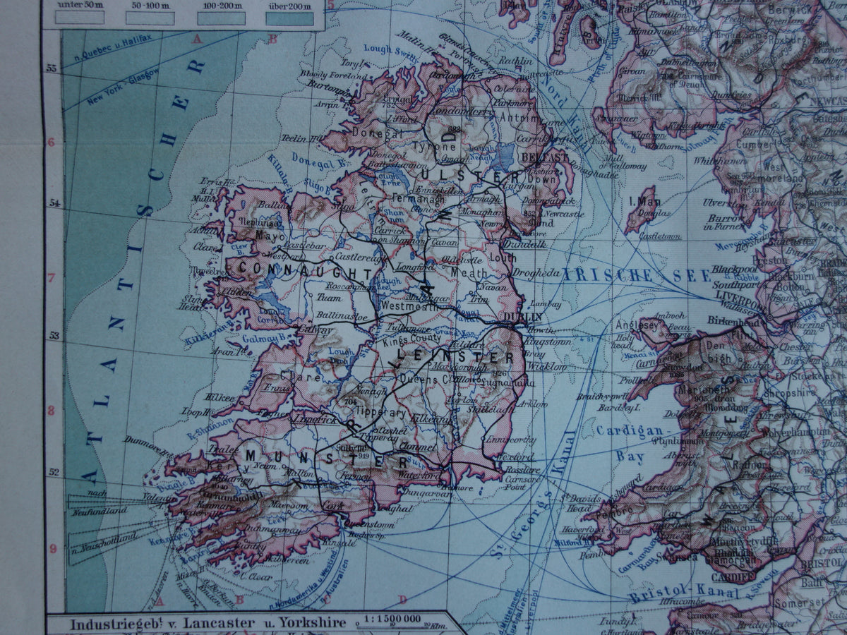
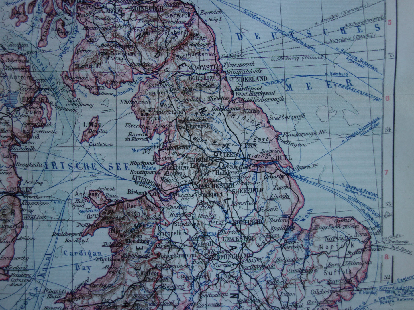
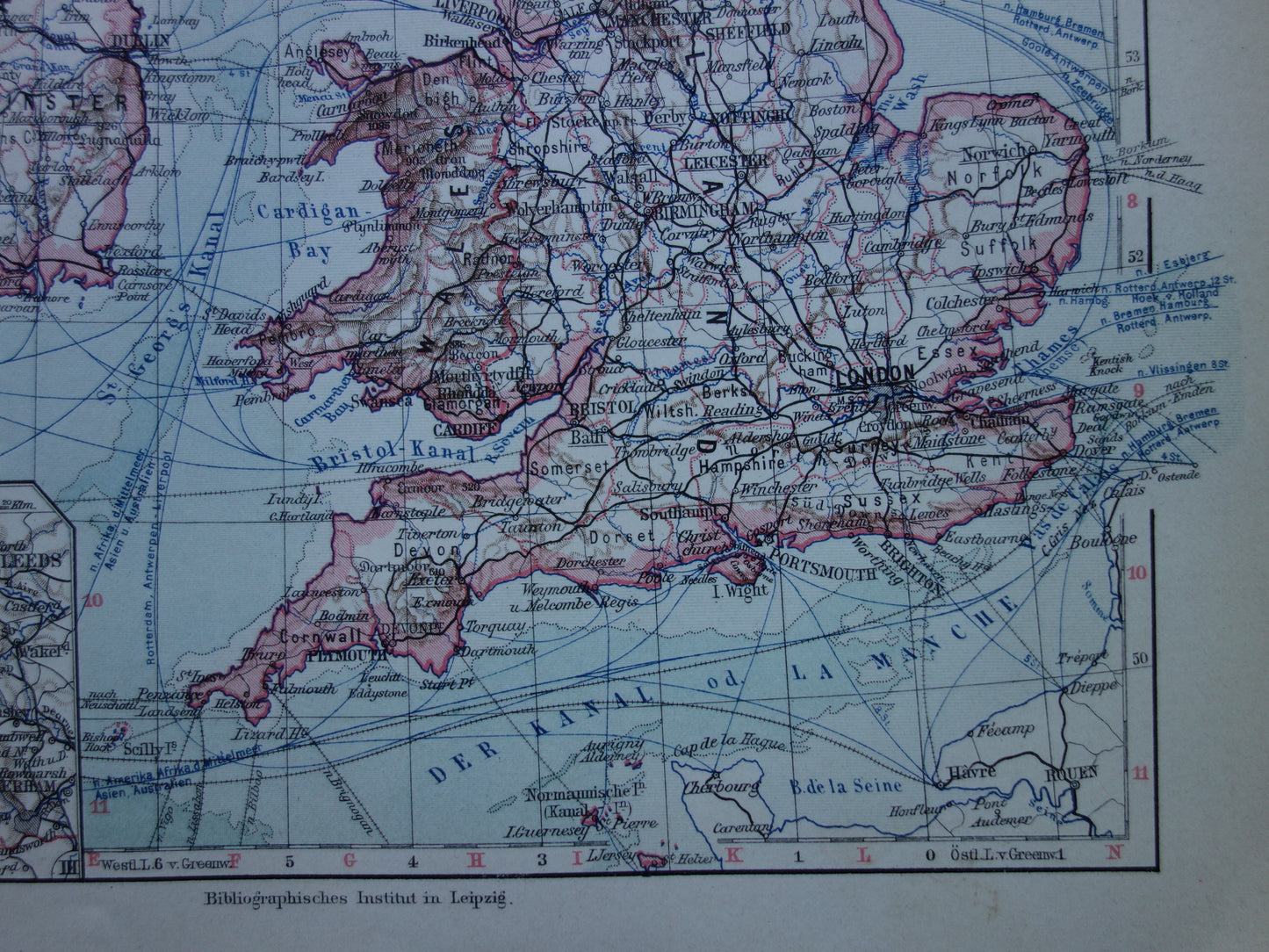
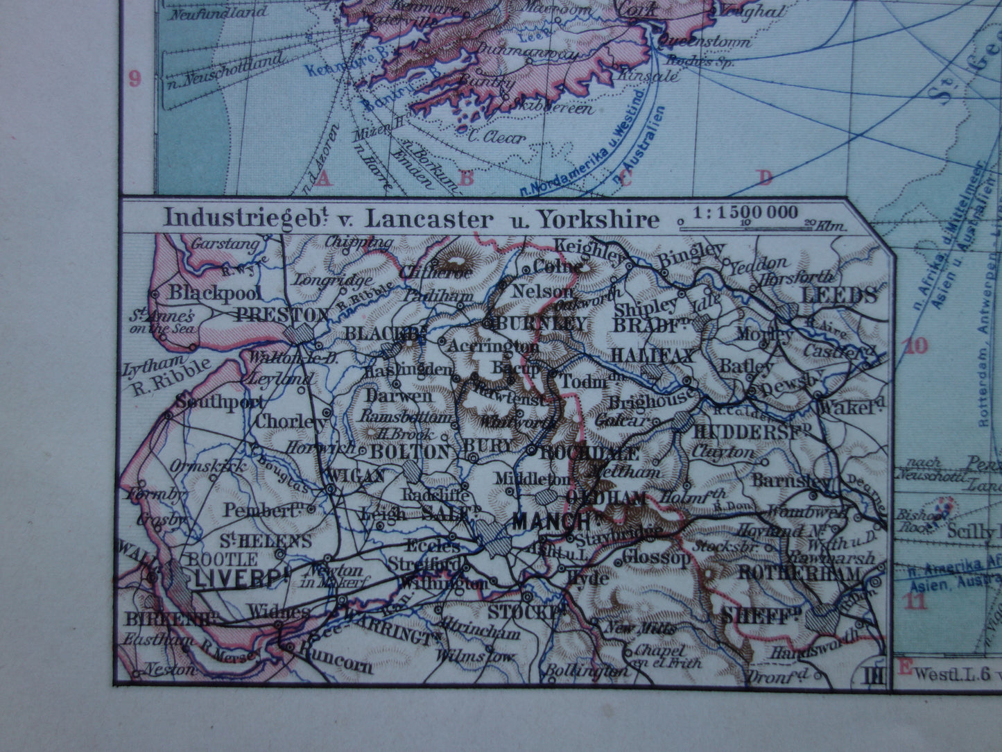
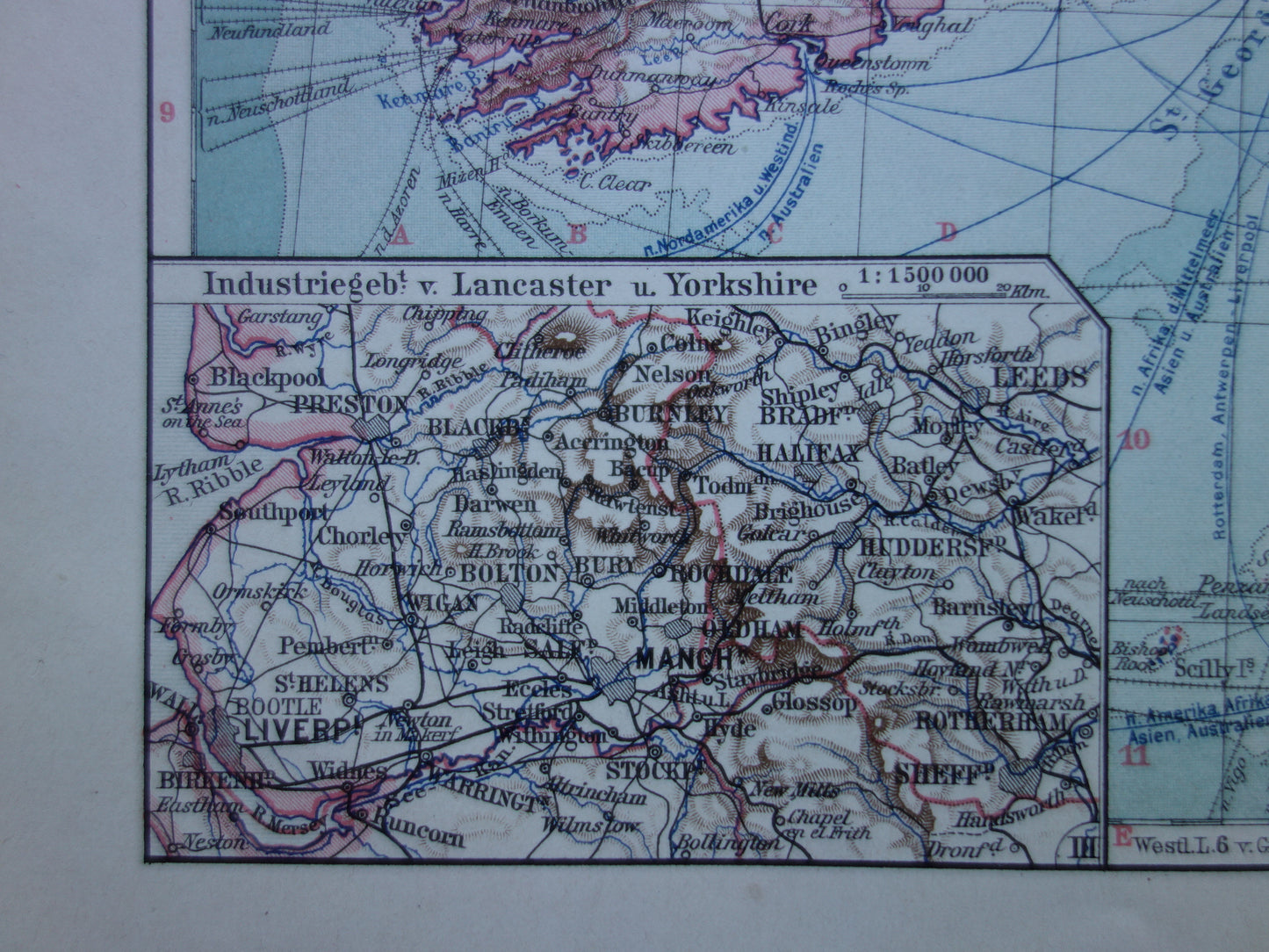
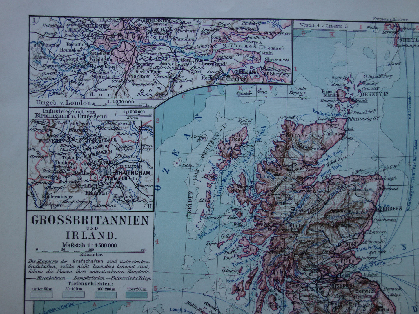
For sale is a detailed old German map of the British Isles from 1913. With inset maps of the Shetland Islands, London and surroundings, Manchester and Birmingham.
Dimensions: 25 x 33 cm
Condition: good (= some minor signs of age/use, but in good overall condition). Has a centrefold, as issued.
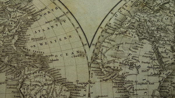
Origin: Meyers Handatlas - Edition of 1913

-
Guaranteed original
We sell only original antique and vintage maps. We guarantee that your purchase was made on or around the date stated in the description.
-
Fast shipping
We will ship your order the next business day at the latest. Free shipping within the Netherlands when purchasing 2 cards. Click here for more information
"Beautiful card, exactly as described. Fast shipping and the card was packaged perfectly. Great transaction, thank you very much!"
ANNE ESCHER